Fish Passage Site 20401293
Coordinates (dec. deg.): 61.53077°, -149.51842°
Legal Description: S017N001W30
Region: South Central
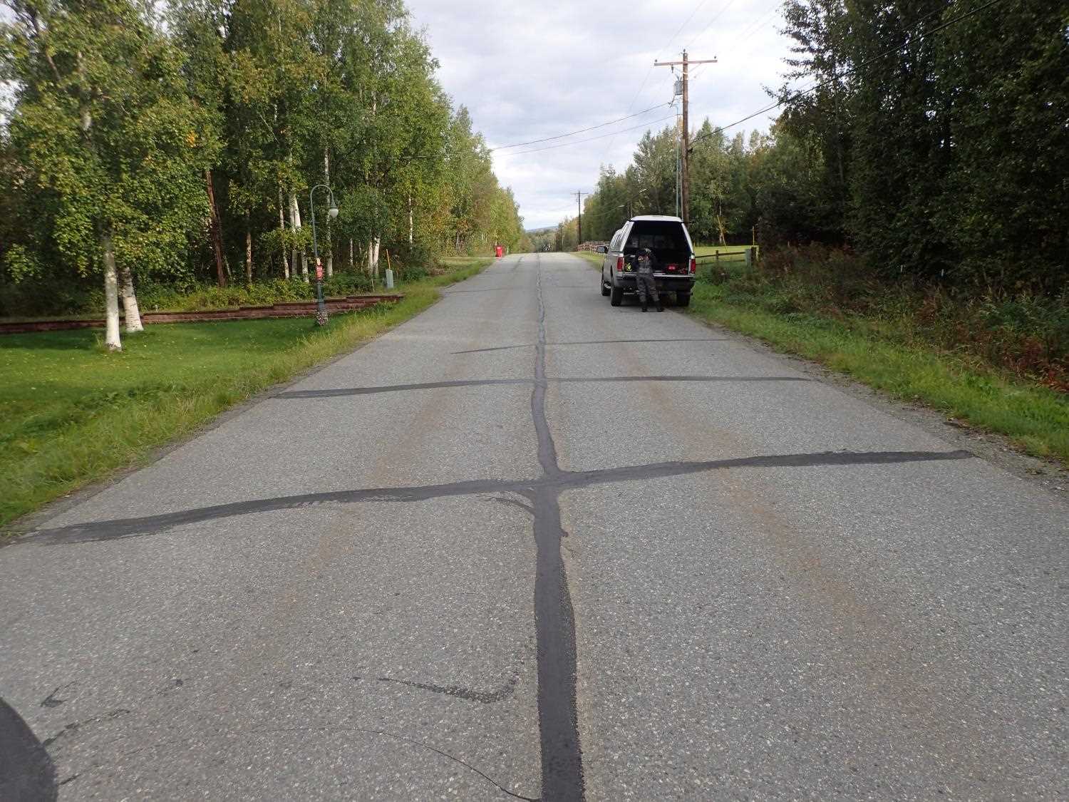
Road Name: Harness
Datum: NAD83
Quad Name / ITM: Anchorage C-7
AWC Stream #: 247-50-10300-2022
Stream Name: Cottonwood Creek tributary
Elevation:
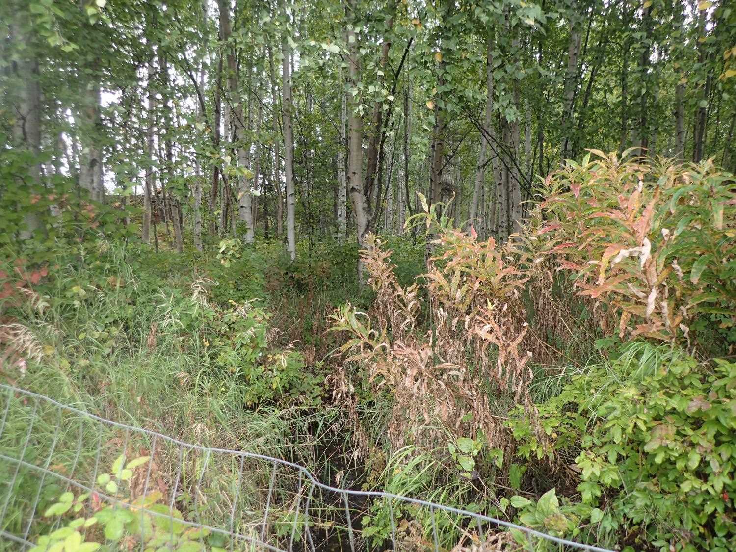
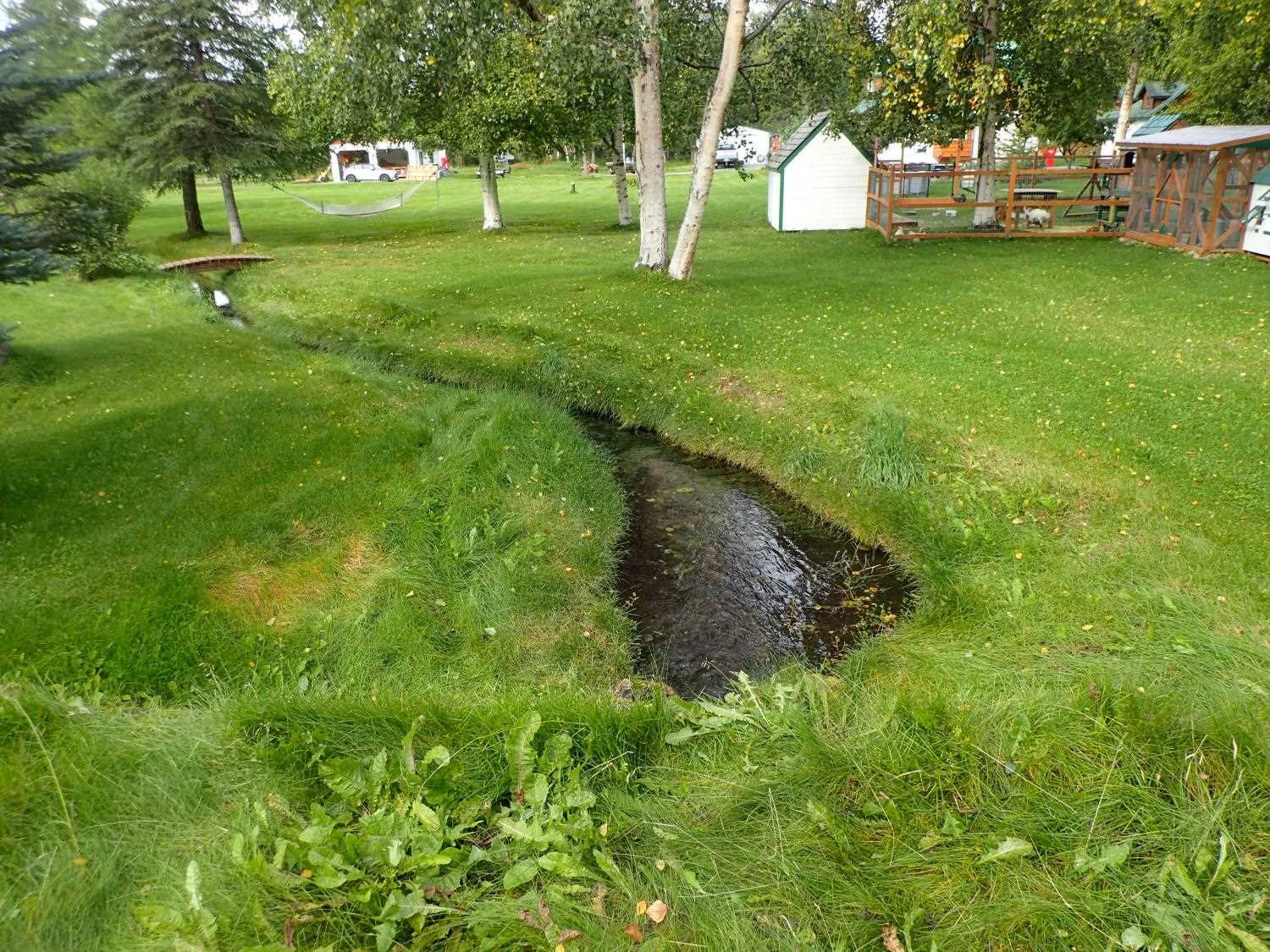
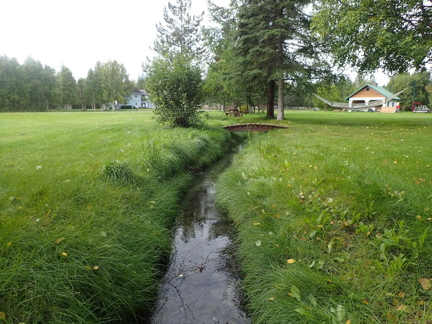
Site Comments: Downstream channelized through yard, lawn, down to waterline.
arrow to the right of the survey date below to choose a different report for this site.
Survey MSB23-MS026
Project Supervisor: Michael Mazzacavallo, Alaska Department of Fish and Game
— Anchorage, AK
Observers: Michael Mazzacavallo, Kat Leavitt, Beth Evers
Overall Fish Passage Rating:
Tidal: No
Backwatered: No
Step Pools: No
Construction Year:
Site Observations:
- Other, including vibrations, cavitation, etc.
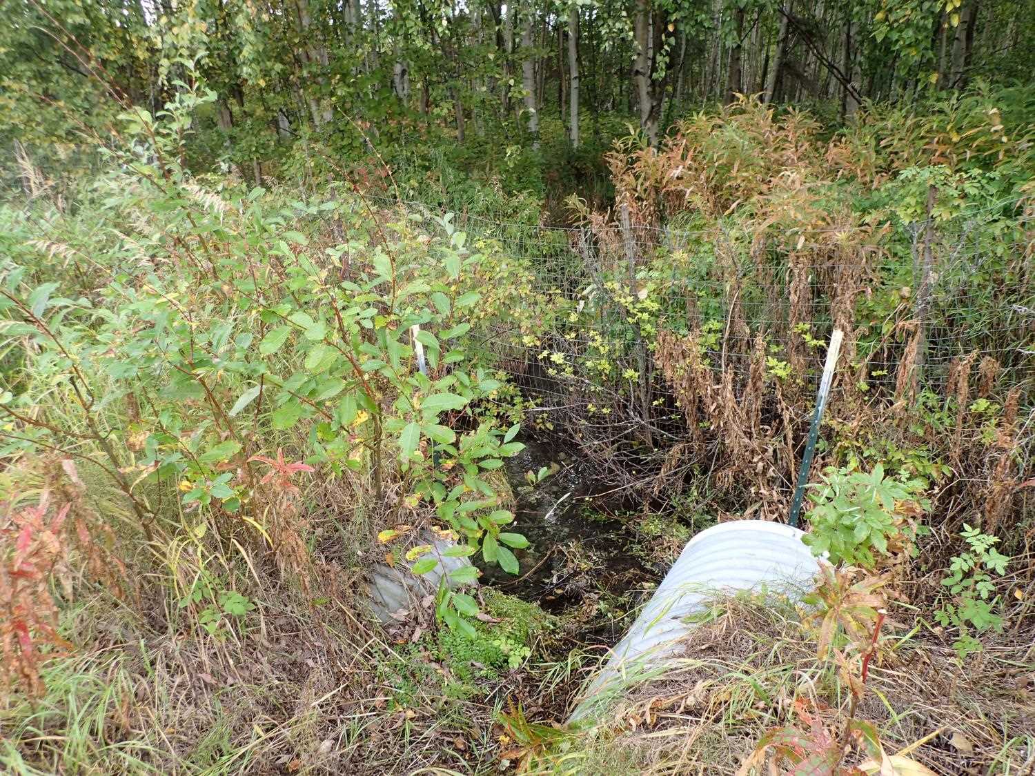
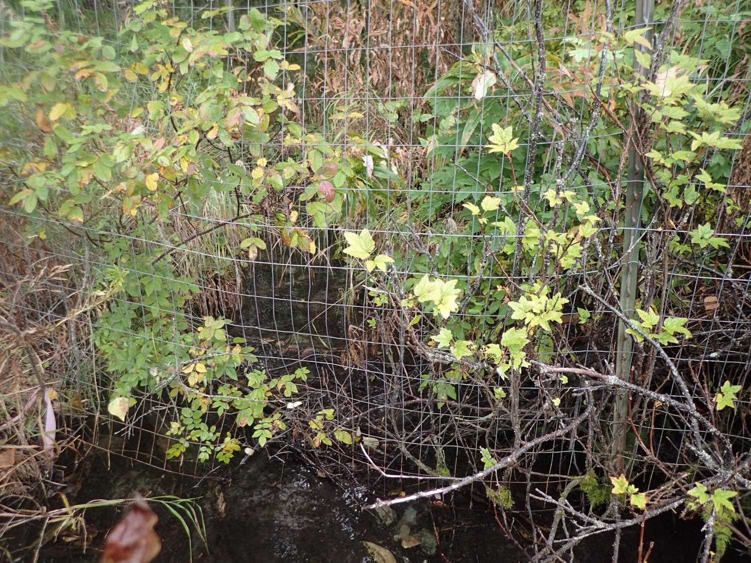
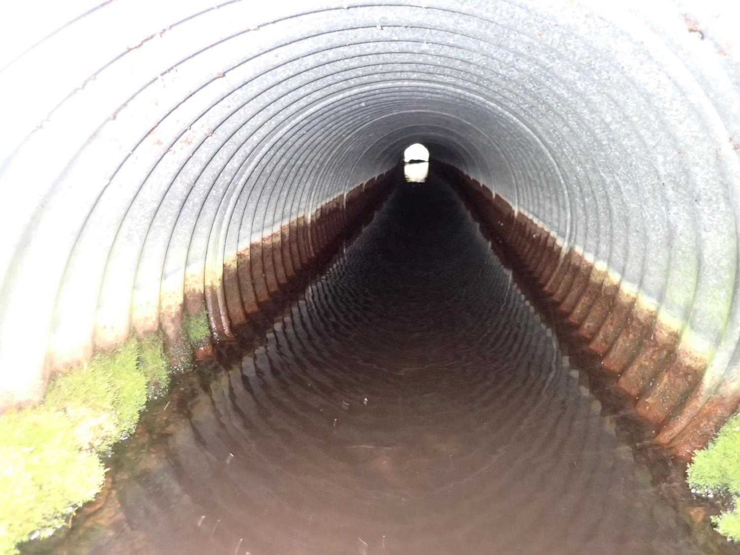
Comments: Large minnow sighted at inlet. Fence upstream sits 0.2ft off of substrate at its lowest point, could be barrier to fish at high water. Downstream severely channelized due to neighborhood.
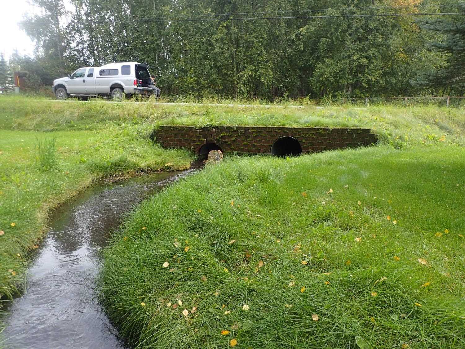
Culvert Measurements
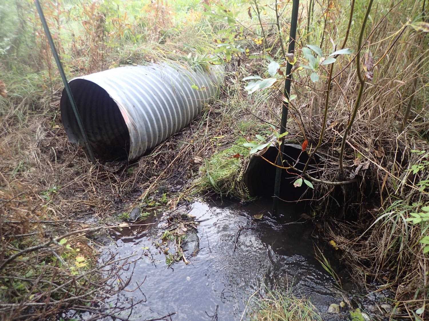
| ID: 1 | Structure Type: Circular pipe (Corrugated steel) | Fish Passage Rating: | ||||||||||||||||||||||||||||||||||||||||||
|
|
|
||||||||||||||||||||||||||||||||||||||||||
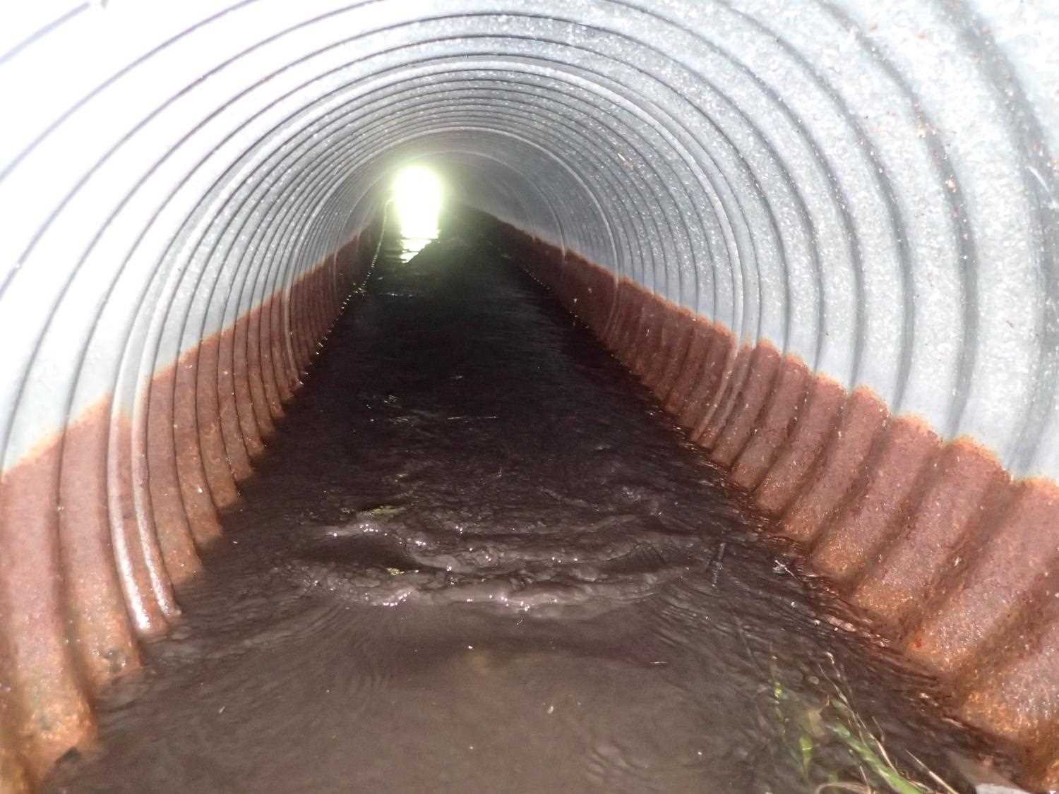
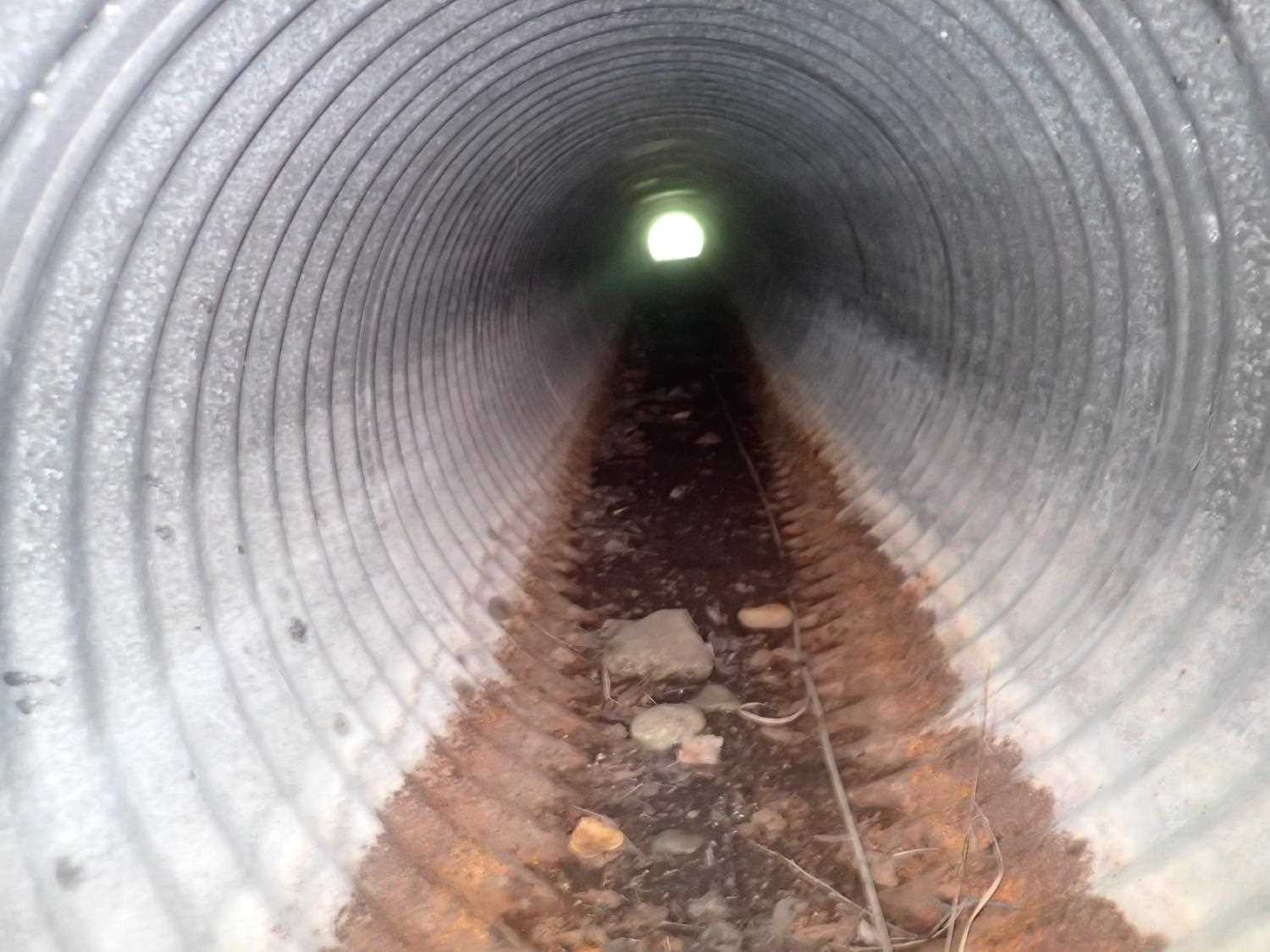
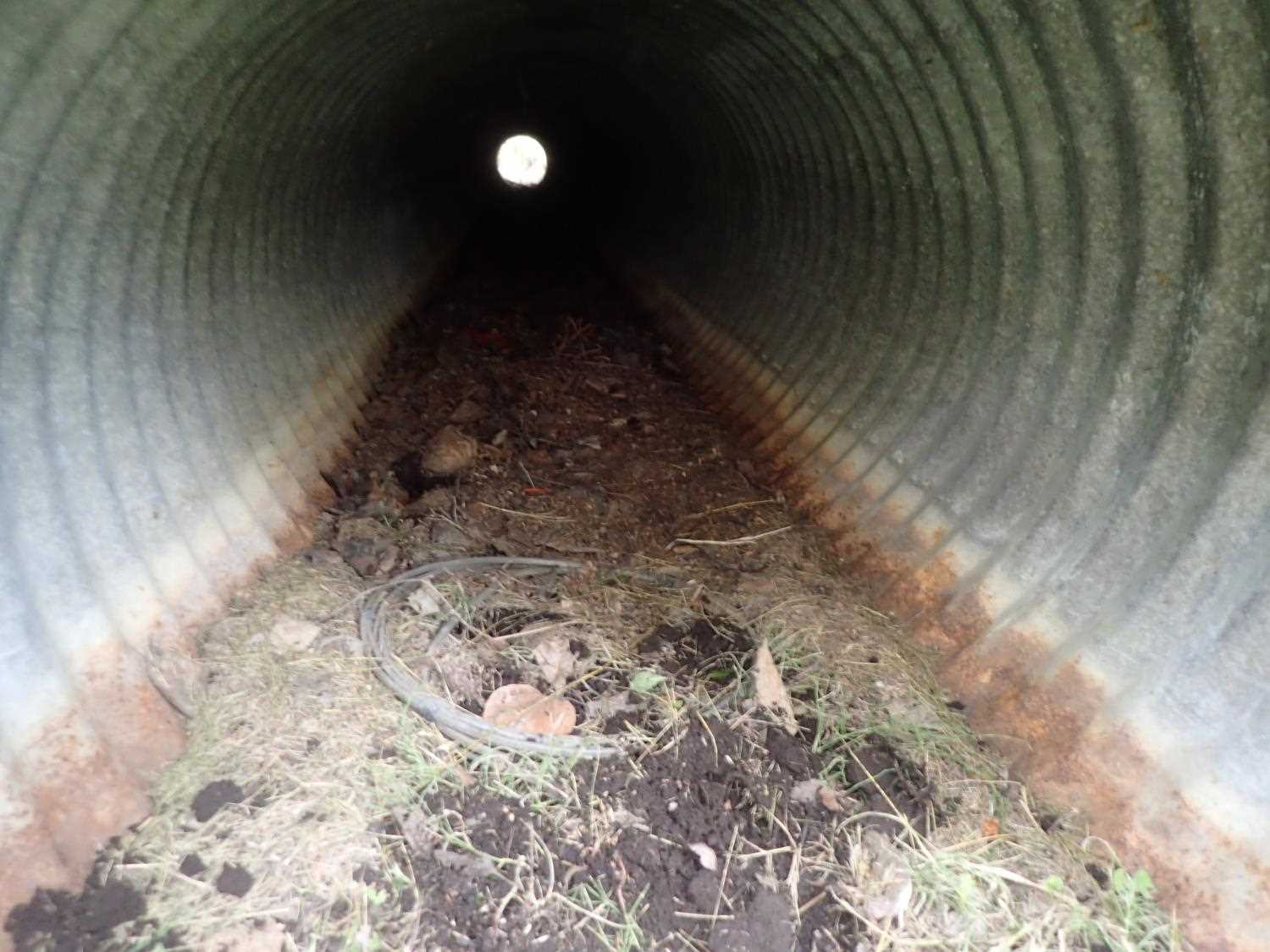
Comments: Culvert is a drainage pipe; however, the top of outlet was significantly higher then inlet measurement, leading to a negative culvert gradient. This could explain the lack of water flow through the pipe. |
||||||||||||||||||||||||||||||||||||||||||||
Culvert Observations:
|
||||||||||||||||||||||||||||||||||||||||||||
| ID: 2 | Structure Type: Circular pipe (Corrugated steel) | Fish Passage Rating: | ||||||||||||||||||||||||||||||||||||||||||
|
|
|
||||||||||||||||||||||||||||||||||||||||||
Culvert Observations:
|
||||||||||||||||||||||||||||||||||||||||||||
Stream Measurements
|
|
| Stream Width Type | Distance From Crossing (ft) |
Stream Width (ft) |
|---|---|---|
| Downstream ordinary high water | 41.0 | 2.95 |
| Downstream ordinary high water | 58.0 | 2.60 |
| Downstream ordinary high water | 91.0 | 3.10 |
Elevations
| Locator ID | Culvert Number |
River Distance (ft)1 |
Distance From Crossing (ft)2 |
Relative Elevation (ft) |
|---|---|---|---|---|
| Road Elev | 100.00 | |||
| U/S Thalweg | 0.00 | 94.72 | ||
| U/S Water Surface Elev | 0.00 | 95.32 | ||
| U/S Water Surface Elev | 2 | 5.00 | 95.33 | |
| Inlet Culvert Invert | 1 | 5.00 | 95.36 | |
| Inlet Culvert Top | 2 | 5.00 | 96.78 | |
| Inlet Culvert Top | 1 | 5.00 | 93.91 | |
| Inlet Culvert Invert | 2 | 5.00 | 94.82 | |
| Outlet Invert | 2 | 55.39 | 94.75 | |
| D/S Water Surface Elev | 2 | 55.39 | 95.23 | |
| Outlet Culvert Top | 2 | 55.39 | 96.58 | |
| Outlet Invert | 1 | 56.01 | 95.10 | |
| Outlet Culvert Top | 1 | 56.01 | 97.32 | |
| D/S Thalweg | 75.39 | 94.61 | ||
| D/S Water Surface Elev | 75.39 | 95.04 | ||
| D/S Water Surface Elev | 135.39 | 95.03 | ||
| D/S Thalweg | 135.39 | 94.53 |
Notes:
- River distance is measured continuously throughout the survey reach along the thalweg of the stream.
- Measured from each end of the crossing along the thalweg of the stream.
Fish Sampling Efforts
No fish sampling occurred during this survey.
Fish Observations
No fish observations occurred during this survey.
Photos
Questions or comments about this report can be directed to dfg.dsf.webmaster@alaska.gov