Fish Passage Site 20401288
Coordinates (dec. deg.): 61.62734°, -149.28349°
Legal Description: S018N001E28
Region: South Central
Road Name: Home Built Circle
Datum: NAD83
Quad Name / ITM: Anchorage C-7
AWC Stream #:
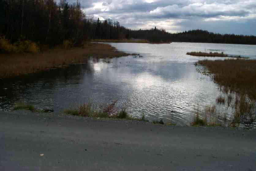
Stream Name: Neklason and unnamed lakes
Elevation:
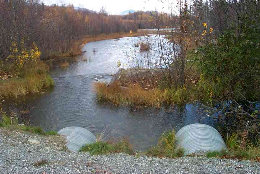
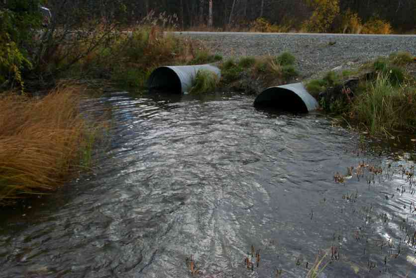
Site Comments: Old crossing site (log bulkhead) 35' upstream of culvert; rootwads with fill on top downstream side of road. Neklason and unnamed lakes
arrow to the right of the survey date below to choose a different report for this site.
Survey MSCS1-CT137
Observers: Edward Weiss, Doug Hill, Joe Conner
Overall Fish Passage Rating:
Tidal: No
Backwatered: No
Step Pools:
Construction Year:
Comments: Old crossing site (log bulkhead) 35' upstream of culvert; rootwads with fill on top downstream side of road.
Culvert Measurements
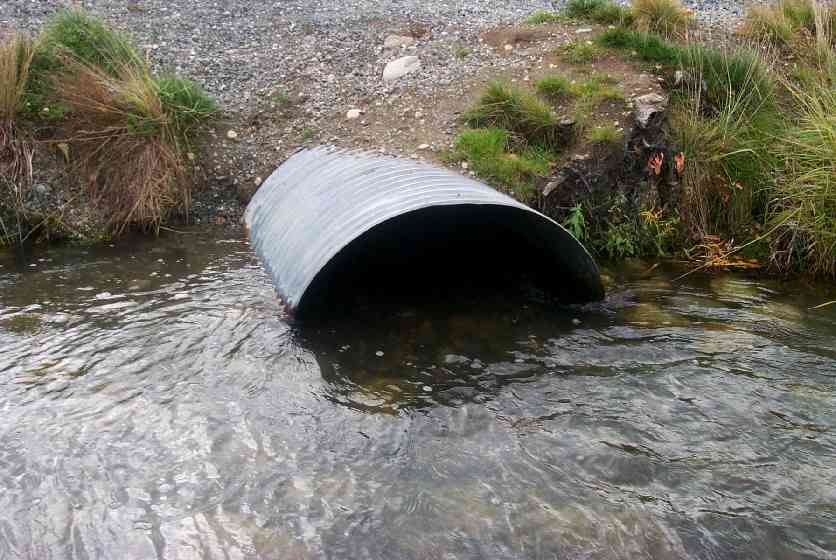
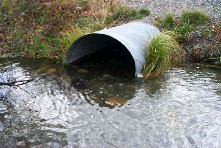
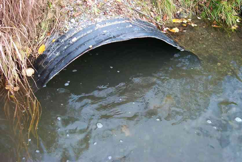
| ID: 1 | Structure Type: Circular pipe (Corrugated Metal) | Fish Passage Rating: | |||||||||||||||||||||||||||||||||||||||||
|
|
|
|||||||||||||||||||||||||||||||||||||||||
Culvert Observations:
|
|||||||||||||||||||||||||||||||||||||||||||
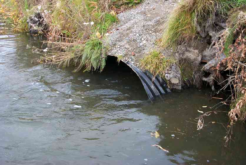
| ID: 2 | Structure Type: Circular pipe (Corrugated Metal) | Fish Passage Rating: | |||||||||||||||||||||||||||||||||||||||||
|
|
|
|||||||||||||||||||||||||||||||||||||||||
Culvert Observations:
|
|||||||||||||||||||||||||||||||||||||||||||
Stream Measurements
|
|
| Stream Width Type | Distance From Crossing (ft) |
Stream Width (ft) |
|---|---|---|
| Upstream ordinary high water | 35.0 | 22.00 |
Elevations
| Locator ID | Culvert Number |
River Distance (ft)1 |
Distance From Crossing (ft)2 |
Relative Elevation (ft) |
|---|---|---|---|---|
| Outlet Culvert Top | 1 | 92.36 | ||
| Outlet Culvert Top | 2 | 92.51 | ||
| Inlet Culvert Top | 2 | 93.30 | ||
| Inlet Culvert Top | 1 | 93.83 | ||
| Outlet Invert | 1 | 0.00 | 0.0 | 89.98 |
| Outlet Invert | 2 | 0.00 | 0.0 | 90.05 |
| Road Elev | 21.50 | 95.81 | ||
| Road Elev | 21.50 | 96.07 | ||
| Inlet Thalweg | 2 | 43.00 | 0.0 | 90.87 |
| Inlet Thalweg | 1 | 43.00 | 0.0 | 91.20 |
| U/S Thalweg | 1 | 48.00 | 5.0 | 90.63 |
| U/S Thalweg | 78.00 | 35.0 | 91.45 |
Notes:
- River distance is measured continuously throughout the survey reach along the thalweg of the stream.
- Measured from each end of the crossing along the thalweg of the stream.
Fish Sampling Efforts
| Gear Type: Visual Observation, Ground (C) | ||
Fish Observations
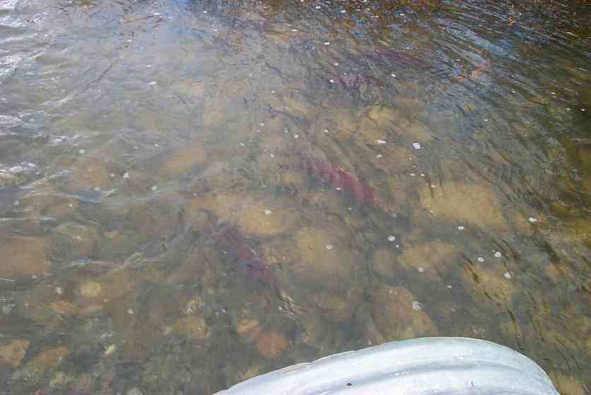
| Species: adult coho salmon | Life History: Anadromous (Suspected Spawning) | ||
| Total Fish Observed: | Fish Measured: | Fork Lengths (mm) Min: Max: Mean: | |
| Collected/Observed by Gear Type: Upstream Visual Observation, Ground () | |||
| Comments: Coho observed moving thru culvert | |||
Photos
Questions or comments about this report can be directed to dfg.dsf.webmaster@alaska.gov