Fish Passage Site 20401286
Coordinates (dec. deg.): 61.52482°, -149.57159°
Legal Description: S017N002W35
Region: South Central
Road Name: Trapline Drive
Datum: NAD83
Quad Name / ITM: Anchorage C-7
AWC Stream #: 247-50-10300-2012
Stream Name: Cottonwood Slough
Elevation:
Site Comments: This culvert is under the road. It's at a right anlgle to #134 - 15' away from #134
arrow to the right of the survey date below to choose a different report for this site.
Survey MSB23-MS022
Project Supervisor: Michael Mazzacavallo, Alaska Department of Fish and Game
— Anchorage, AK
Observers: Michael Mazzacavallo, Kat Leavitt, Beth Evers
Overall Fish Passage Rating:
Tidal: No
Backwatered: No
Step Pools: No
Construction Year:
Site Observations:
- None of this type
Comments: Fish spotted jumping downstream. Culvert is sagging slightly on left side, inside. Inlet has large bank of sediment build up on right side.
Culvert Measurements
| ID: 1 | Structure Type: Pipe-arch (Corrugated steel) | Fish Passage Rating: | ||||||||||||||||||||||||||||||||||||||||||
|
|
|
||||||||||||||||||||||||||||||||||||||||||
Comments: Inlet is fed by small culvert in a ditch. The channel is ditch0, no constriction ratio. |
||||||||||||||||||||||||||||||||||||||||||||
Culvert Observations:
|
||||||||||||||||||||||||||||||||||||||||||||
Stream Measurements
|
|
No stream width data available.
Elevations
| Locator ID | Culvert Number |
River Distance (ft)1 |
Distance From Crossing (ft)2 |
Relative Elevation (ft) |
|---|---|---|---|---|
| Road Elev | 100.48 | |||
| U/S Water Surface Elev | 0.00 | 94.87 | ||
| U/S Thalweg | 0.00 | 94.03 | ||
| Inlet Culvert Invert | 11.00 | 94.04 | ||
| U/S Water Surface Elev | 11.00 | 94.81 | ||
| Inlet Culvert Top | 11.00 | 97.20 | ||
| D/S Water Surface Elev | 60.82 | 94.82 | ||
| Outlet Culvert Top | 60.82 | 97.14 | ||
| Outlet Invert | 60.82 | 93.85 | ||
| D/S Thalweg | 74.82 | 93.95 | ||
| D/S Water Surface Elev | 74.82 | 94.80 | ||
| D/S Water Surface Elev | 138.82 | 94.62 | ||
| D/S Thalweg | 138.82 | 93.35 | ||
| D/S Thalweg | 164.82 | 93.51 | ||
| D/S Water Surface Elev | 164.82 | 94.52 |
Notes:
- River distance is measured continuously throughout the survey reach along the thalweg of the stream.
- Measured from each end of the crossing along the thalweg of the stream.
Fish Sampling Efforts
| Gear Type: Minnow Trap (A) | Trap Duration(h): 3.06 | |
| Channel Type: Main Channel (>50% of water flow) | ||
| Gear Type: Minnow Trap (B) | Trap Duration(h): 3.06 | |
| Channel Type: Main Channel (>50% of water flow) | ||
Fish Observations
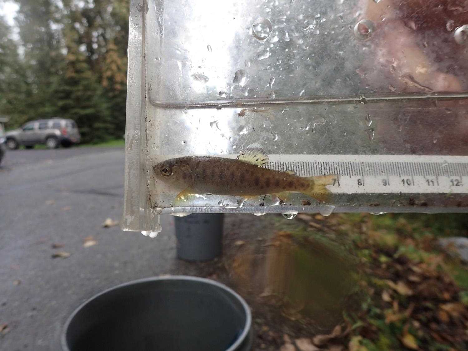
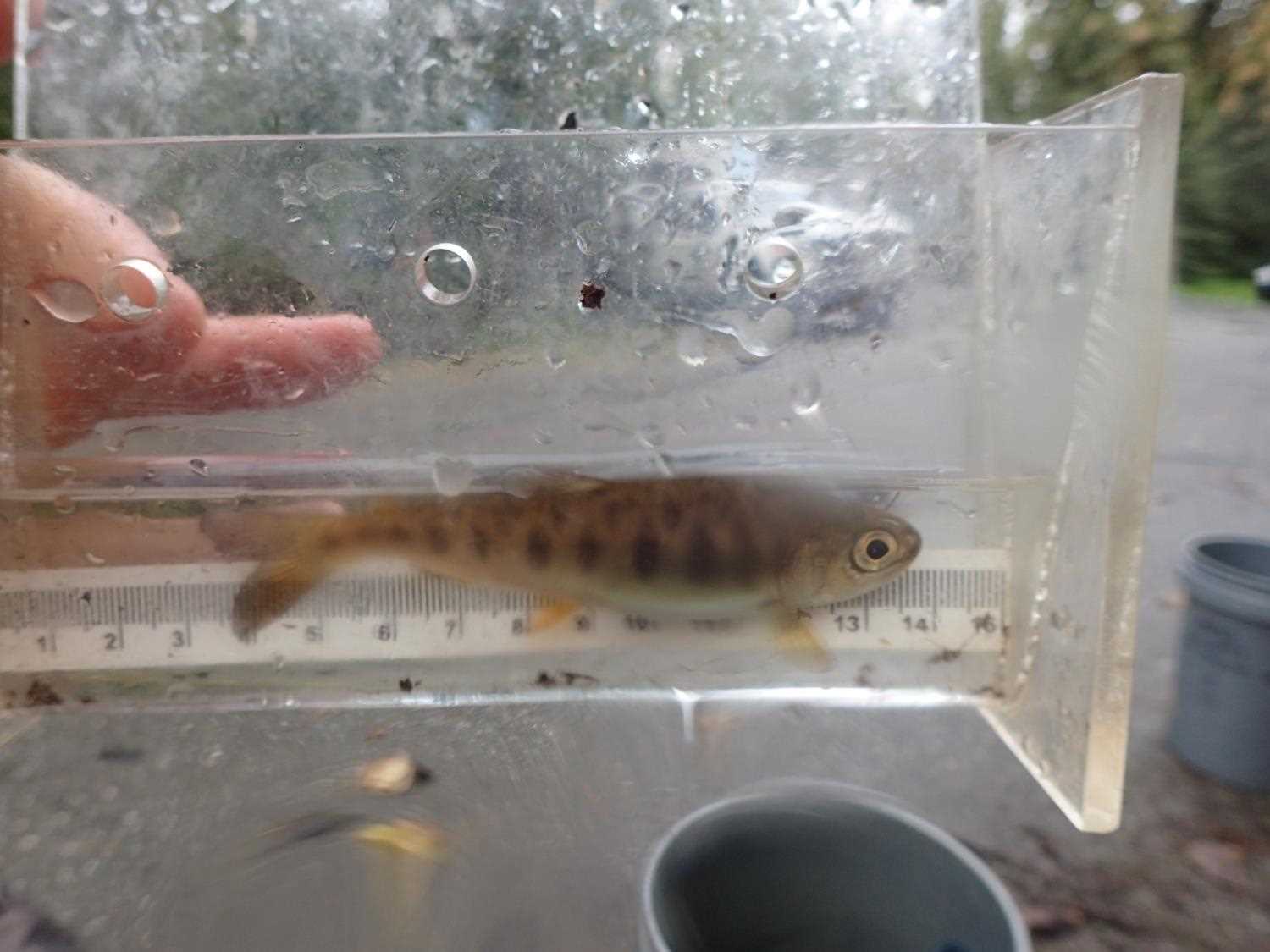
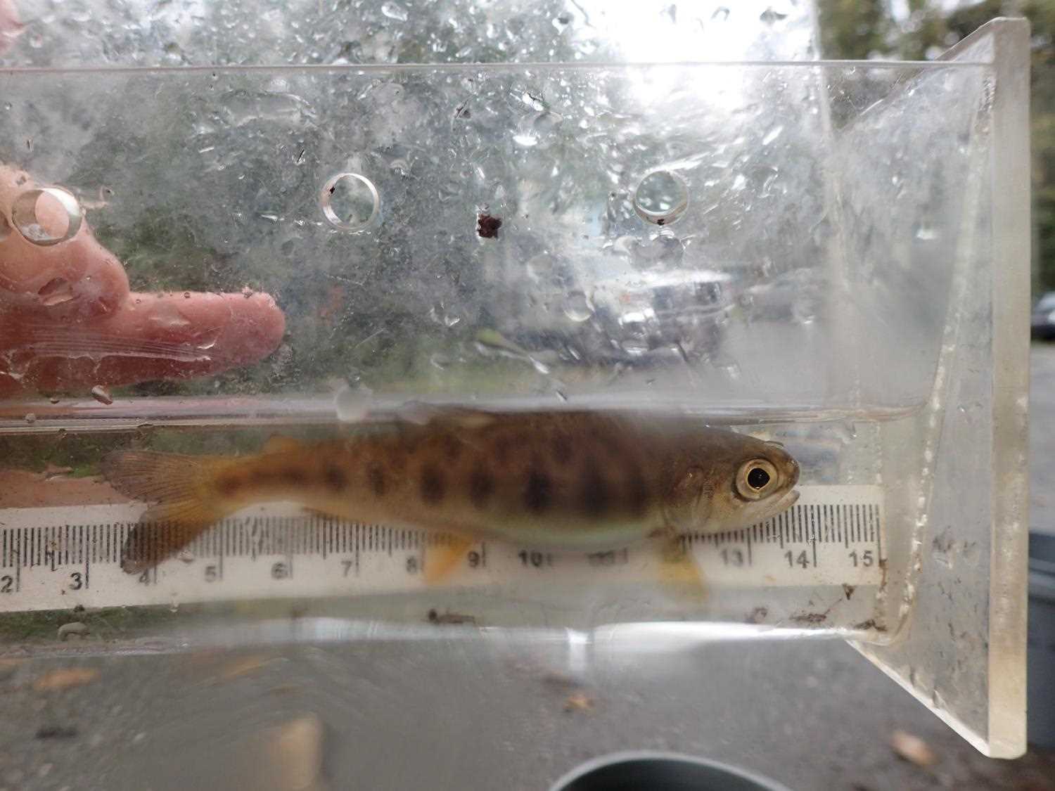
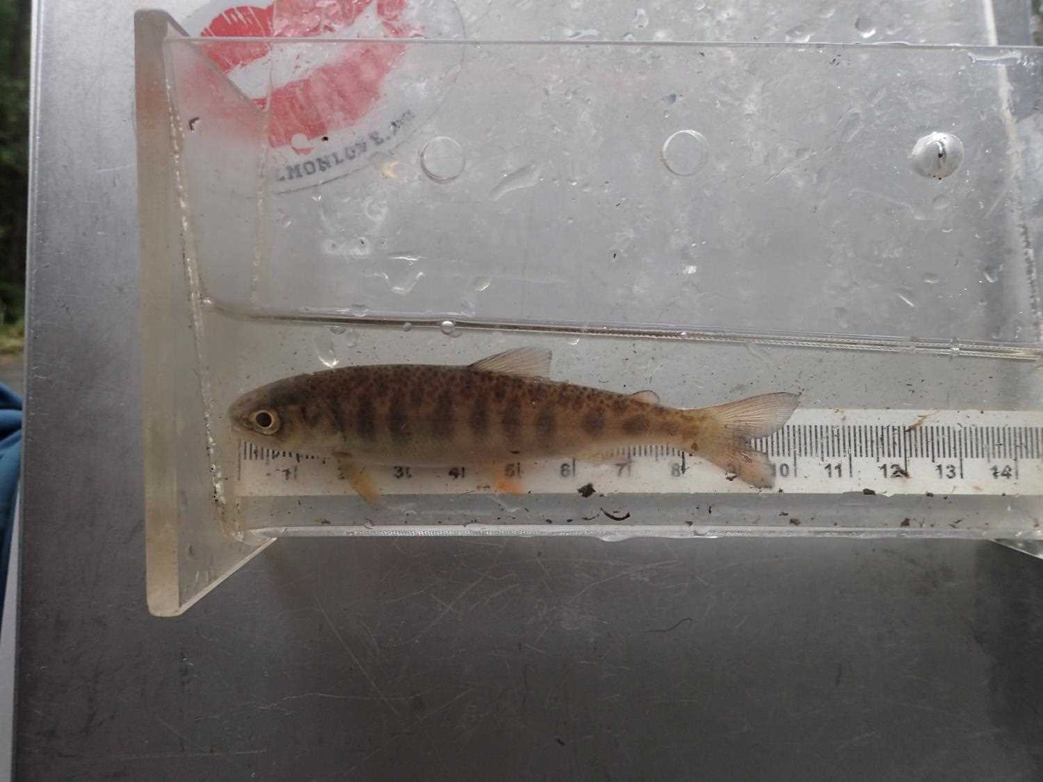
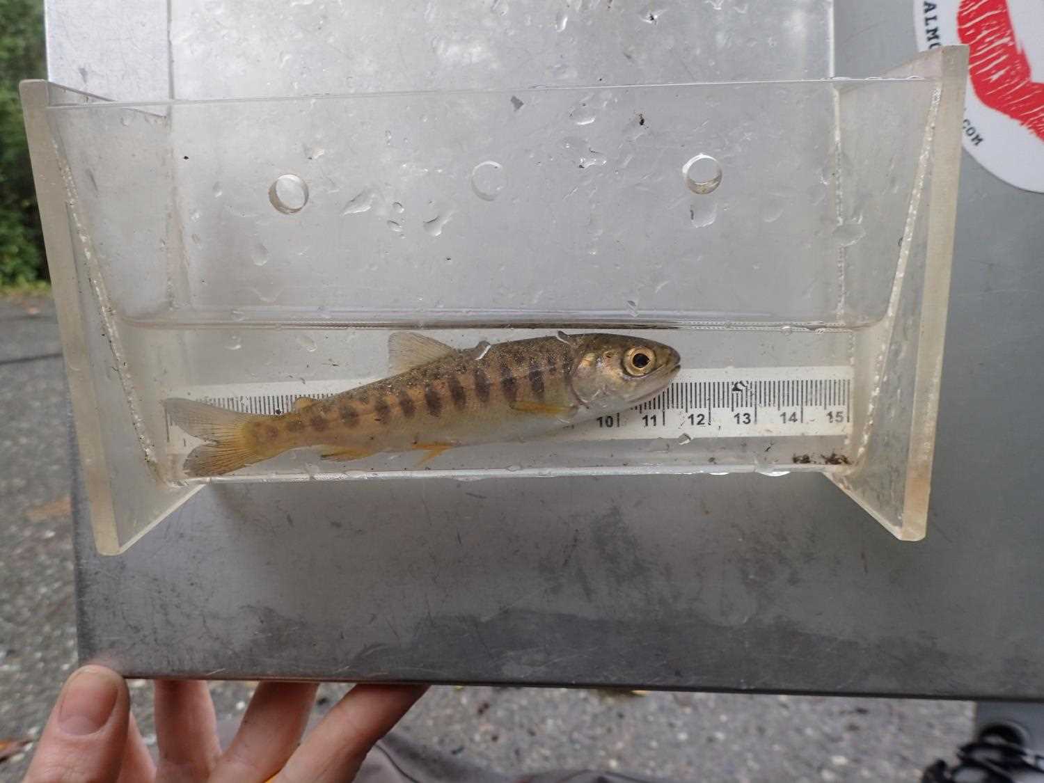
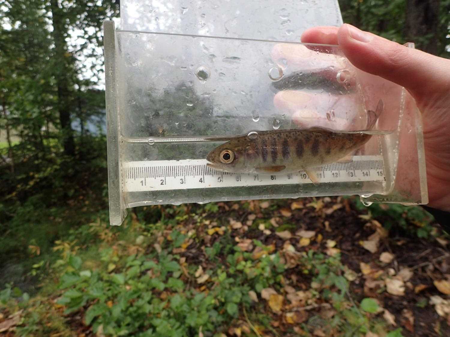
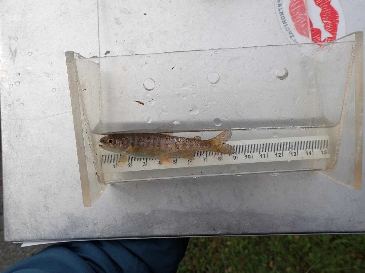
| Species: juvenile coho salmon | Life History: Anadromous | ||
| Total Fish Observed: 11 | Fish Measured: 11 | Fork Lengths (mm) Min: 70 Max: 179 Mean: 104 | |
| Collected/Observed by Gear Type: Upstream Minnow Trap (5) Downstream Minnow Trap (6) | |||
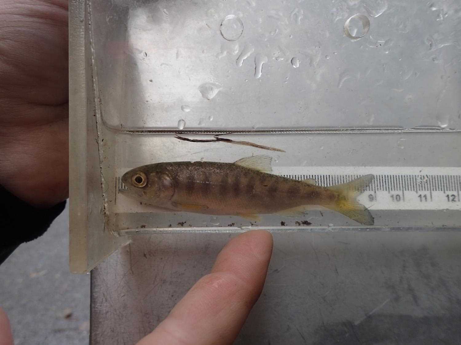
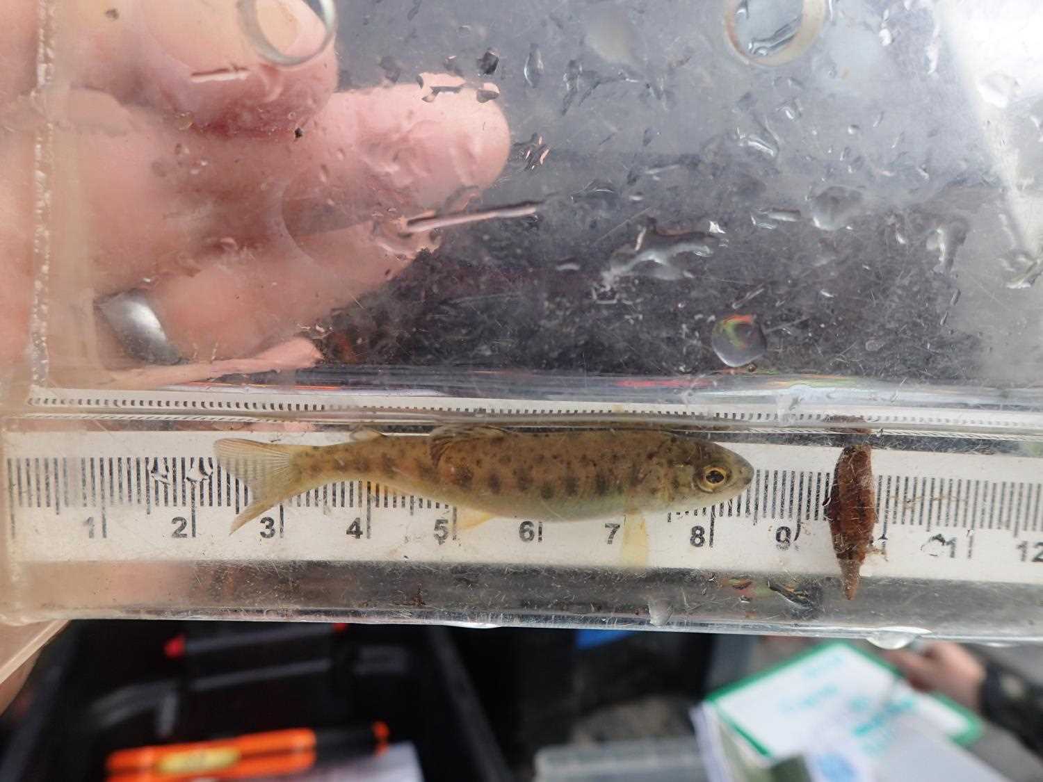
| Species: juvenile rainbow trout | Life History: Resident | ||
| Total Fish Observed: 2 | Fish Measured: 2 | Fork Lengths (mm) Min: 54 Max: 65 Mean: 59 | |
| Collected/Observed by Gear Type: Upstream Minnow Trap (1) Downstream Minnow Trap (1) | |||
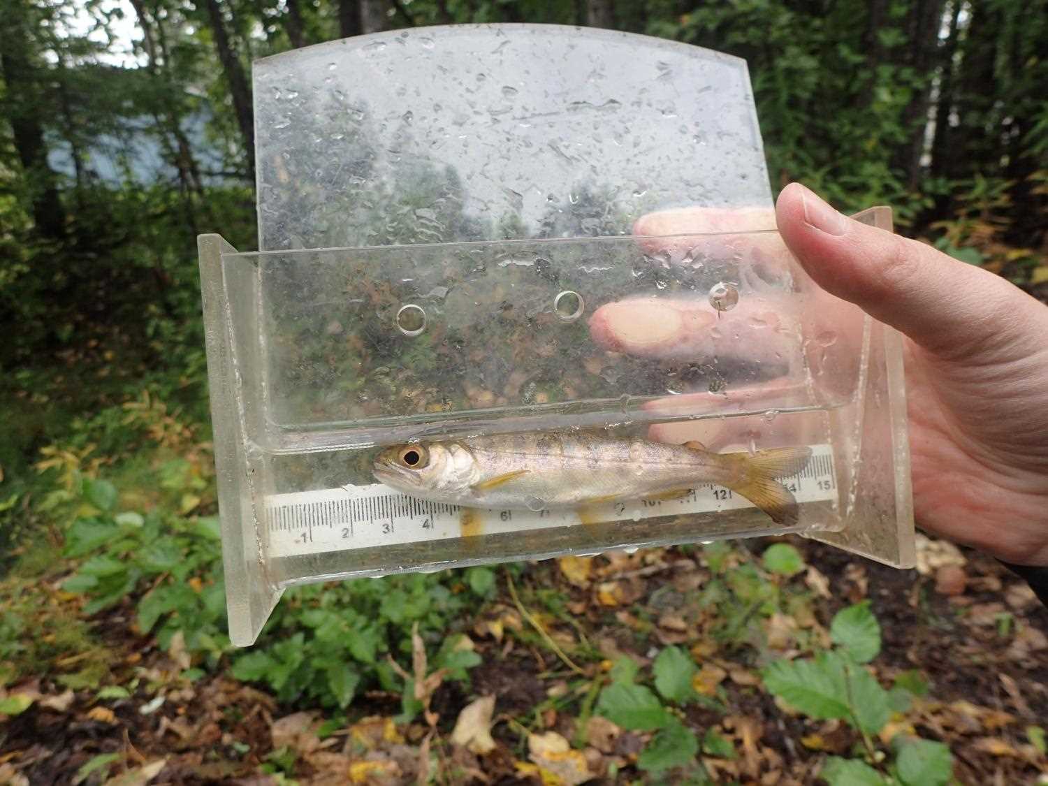
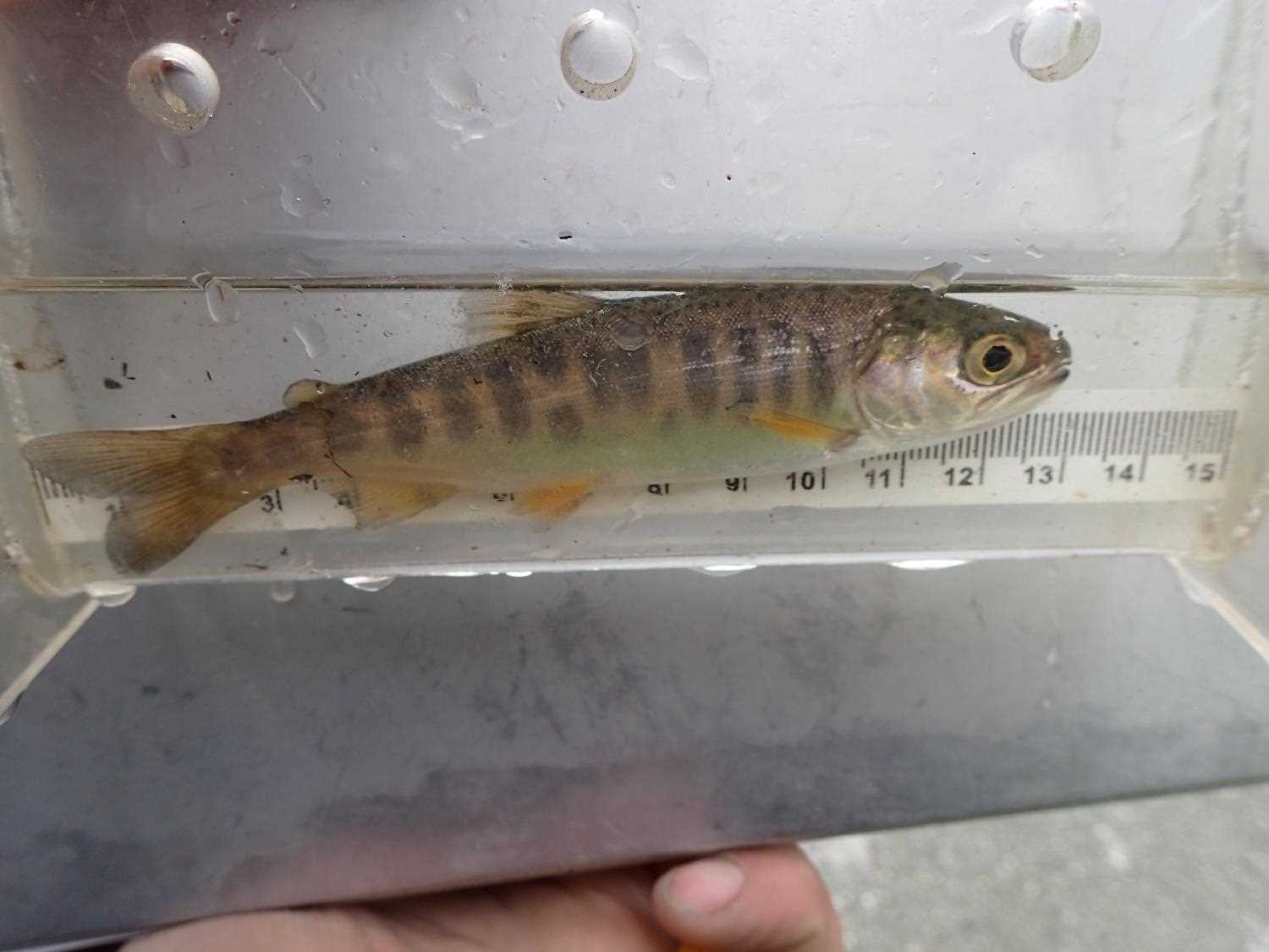
| Species: juvenile/adult Dolly Varden | Life History: Resident | ||
| Total Fish Observed: 1 | Fish Measured: 1 | Fork Lengths (mm) Min: 137 Max: 137 Mean: 137 | |
| Collected/Observed by Gear Type: Upstream Minnow Trap (1) | |||
Photos
Questions or comments about this report can be directed to dfg.dsf.webmaster@alaska.gov