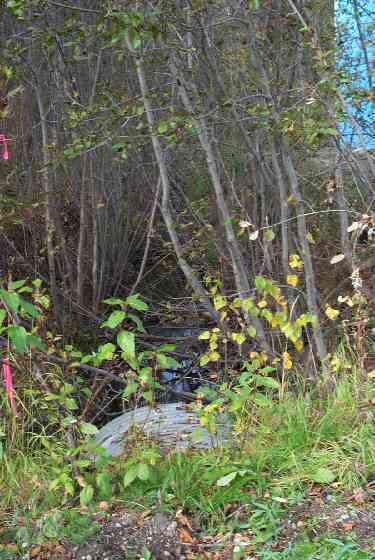
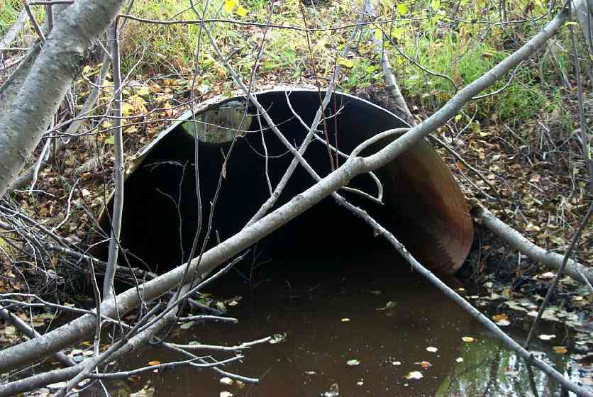
Fish Passage Site 20401286
Coordinates (dec. deg.): 61.52482°, -149.57159°
Legal Description: S017N002W35
Region: South Central
Road Name: Trapline Drive
Datum: NAD83
Quad Name / ITM: Anchorage C-7
AWC Stream #: 247-50-10300-2012
Stream Name: Cottonwood Slough
Elevation:
Site Comments: This culvert is under the road. It's at a right anlgle to #134 - 15' away from #134
arrow to the right of the survey date below to choose a different report for this site.
Survey MSCS1-CT135
Observers: Doug Hill, Joe Conner, Sharie Chrisco
Overall Fish Passage Rating:
Tidal: No
Backwatered: No
Step Pools:
Construction Year:
Comments: None
Culvert Measurements
| ID: 1 | Structure Type: Circular pipe (Corrugated Metal) | Fish Passage Rating: | |||||||||||||||||||||||||||||||||||||||||
|
|
|
|||||||||||||||||||||||||||||||||||||||||
Culvert Observations:
|
|||||||||||||||||||||||||||||||||||||||||||
Stream Measurements
|
|
| Stream Width Type | Distance From Crossing (ft) |
Stream Width (ft) |
|---|---|---|
| Downstream ordinary high water | 48.0 | 6.20 |
| Upstream ordinary high water | 6.40 |
Elevations
| Locator ID | Culvert Number |
River Distance (ft)1 |
Distance From Crossing (ft)2 |
Relative Elevation (ft) |
|---|---|---|---|---|
| Outlet Culvert Top | 1 | 93.27 | ||
| Inlet Culvert Top | 1 | 93.35 | ||
| D/S Thalweg | 0.00 | 48.0 | 89.53 | |
| Outlet Invert | 1 | 48.00 | 0.0 | 89.62 |
| Outlet Thalweg | 1 | 48.00 | 0.0 | 89.62 |
| Road Elev | 73.00 | 96.21 | ||
| Road Elev | 73.00 | 96.56 | ||
| Inlet Culvert Invert | 1 | 98.00 | 0.0 | 90.39 |
| Inlet Thalweg | 1 | 98.00 | 0.0 | 90.39 |
| U/S Thalweg | 104.40 | 6.4 | 89.93 |
Notes:
- River distance is measured continuously throughout the survey reach along the thalweg of the stream.
- Measured from each end of the crossing along the thalweg of the stream.
Fish Sampling Efforts
No fish sampling occurred during this survey.
Fish Observations
No fish observations occurred during this survey.
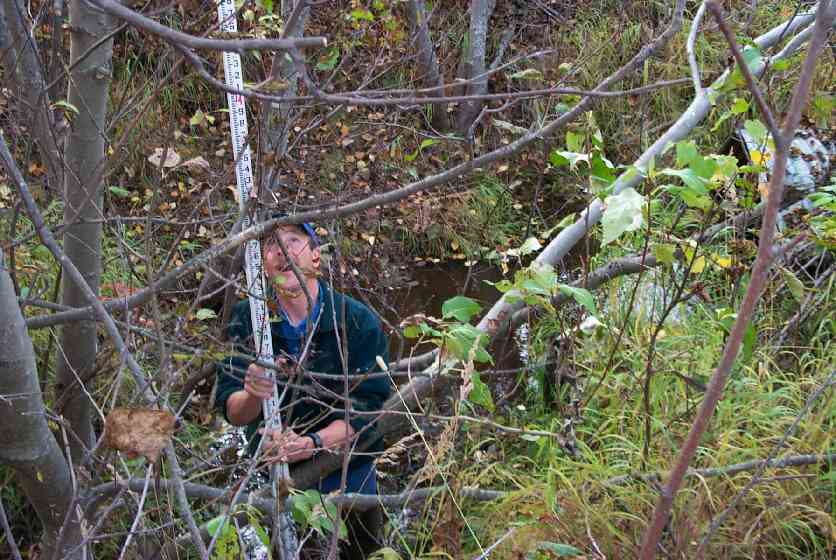
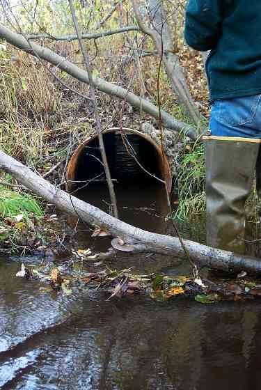
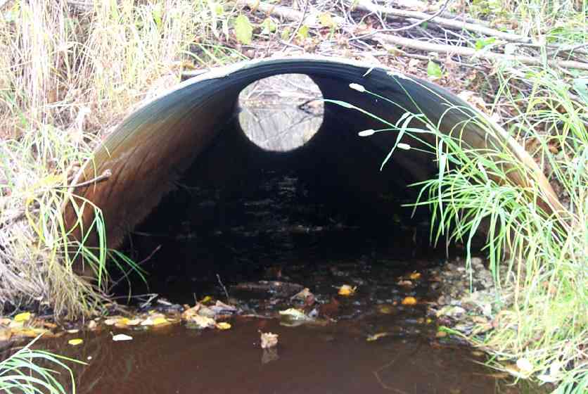
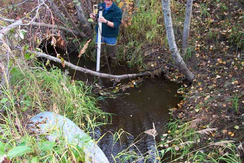
Photos
Questions or comments about this report can be directed to dfg.dsf.webmaster@alaska.gov