Fish Passage Site 20401277
Coordinates (dec. deg.): 61.59575°, -149.35993°
Legal Description: S017N001W01
Region: South Central
Road Name: Seward Meridian Road
Datum: NAD83
Quad Name / ITM: Anchorage C-7
AWC Stream #: 247-50-10300
Stream Name: Cottonwood Creek
Elevation:
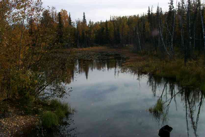
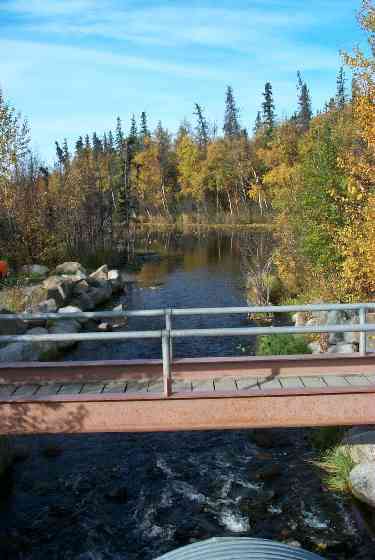
Site Comments: Pedestrian bridge at outlet; wide pond-like at culvert inlet; downstream 100' - wide wetland channel (Wasilla Lake).
arrow to the right of the survey date below to choose a different report for this site.
Survey MSCS1-CT126
Observers: Doug Hill, Joe Conner, Michael Wheel
Overall Fish Passage Rating:
Tidal: No
Backwatered: No
Step Pools:
Construction Year:
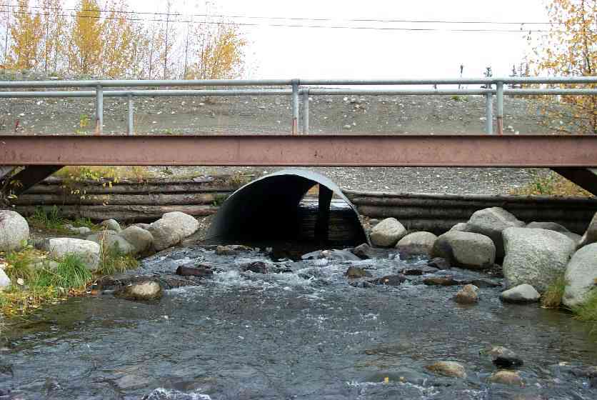
Comments: River Right - 50' of riprap downstream of culvert; River Left - 90' of riprap downstream of culvert; Pedestrian bridge at outlet; wide pond-like at culvert inlet; downstream 100' - wide wetland channel (Wasilla Lake).
Culvert Measurements
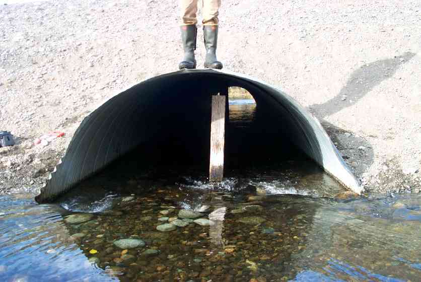
| ID: 1 | Structure Type: Open-bottom arch (Strutural Metal Plate) | Fish Passage Rating: | |||||||||||||||||||||||||||||||||||||||||
|
|
|
|||||||||||||||||||||||||||||||||||||||||
Culvert Observations:
|
|||||||||||||||||||||||||||||||||||||||||||
Stream Measurements
|
|
| Stream Width Type | Distance From Crossing (ft) |
Stream Width (ft) |
|---|---|---|
| Downstream ordinary high water | 50.0 | 25.80 |
Elevations
| Locator ID | Culvert Number |
River Distance (ft)1 |
Distance From Crossing (ft)2 |
Relative Elevation (ft) |
|---|---|---|---|---|
| D/S Thalweg | 78.38 | |||
| D/S Thalweg | 83.59 | |||
| Outlet Culvert Top | 1 | 89.79 | ||
| Inlet Culvert Top | 1 | 89.89 | ||
| Outlet Invert | 1 | 0.00 | 0.0 | 84.02 |
| Outlet Thalweg | 1 | 0.00 | 0.0 | 84.02 |
| Road Elev | 45.00 | 97.62 | ||
| Road Elev | 45.00 | 98.25 | ||
| Inlet Culvert Invert | 1 | 90.00 | 0.0 | 85.25 |
| Inlet Thalweg | 1 | 90.00 | 0.0 | 85.25 |
| U/S Thalweg | 105.60 | 15.6 | 84.40 |
Notes:
- River distance is measured continuously throughout the survey reach along the thalweg of the stream.
- Measured from each end of the crossing along the thalweg of the stream.
Fish Sampling Efforts
| Gear Type: Visual Observation, Ground (C) | ||
Fish Observations
| Species: adult coho salmon | Life History: Anadromous | ||
| Total Fish Observed: | Fish Measured: | Fork Lengths (mm) Min: Max: Mean: | |
| Collected/Observed by Gear Type: Upstream Visual Observation, Ground () | |||
| Comments: 8 adult cohos observed moving thru culvert (same info applied to 126D1 in database) | |||
Photos
Questions or comments about this report can be directed to dfg.dsf.webmaster@alaska.gov