Fish Passage Site 20401274
Coordinates (dec. deg.): 61.62593°, -149.31238°
Legal Description: S018N001E29
Region: South Central
Road Name: Driveway
Datum: NAD83
Quad Name / ITM: Anchorage C-7
AWC Stream #:
Stream Name: Wolf Lake outlet stream
Elevation:
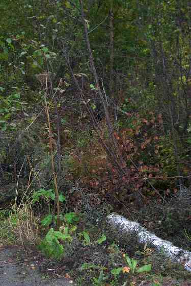
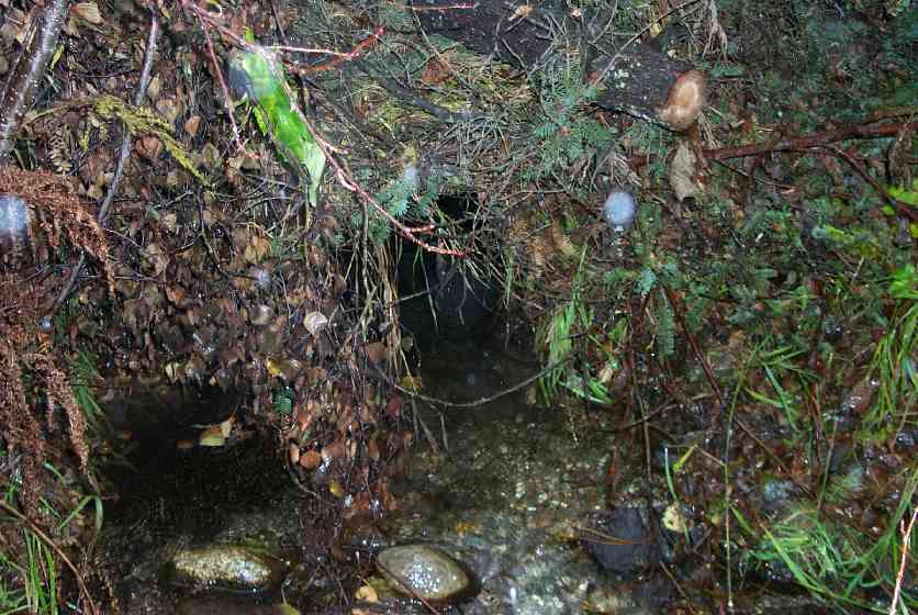
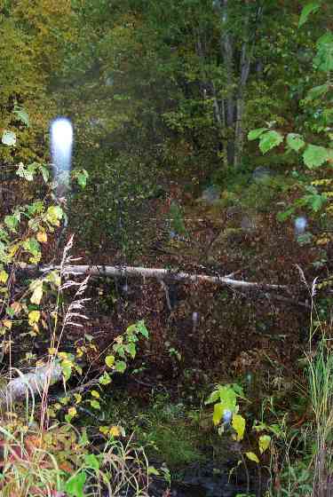
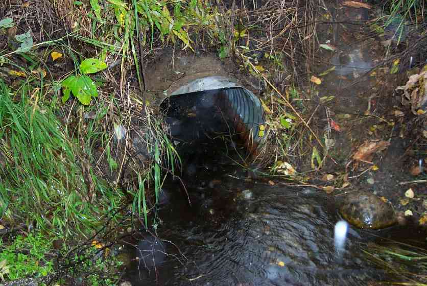
Site Comments: Culvert located on remote drive located N. of end of N. Caribou St.
arrow to the right of the survey date below to choose a different report for this site.
Survey MSCS1-CT117
Observers: Edward Weiss, Doug Hill, Joe Conner
Overall Fish Passage Rating:
Tidal: No
Backwatered: No
Step Pools:
Construction Year:
Site Observations:
- Culvert gradient red
- Constriction ratio red
Comments: Upstream and Downstream Substrate Type includes Fine Gravel (secondary)
Culvert Measurements
| ID: 1 | Structure Type: Circular pipe (Corrugated Metal) | Fish Passage Rating: | |||||||||||||||||||||||||||||||||||||||||
|
|
|
|||||||||||||||||||||||||||||||||||||||||
Culvert Observations:
|
|||||||||||||||||||||||||||||||||||||||||||
Stream Measurements
|
|
| Stream Width Type | Distance From Crossing (ft) |
Stream Width (ft) |
|---|---|---|
| Downstream ordinary high water | 44.0 | 7.40 |
| Downstream ordinary high water | 80.0 | 4.20 |
| Upstream ordinary high water | 50.0 | 6.30 |
| Upstream ordinary high water | 100.0 | 6.20 |
Elevations
| Locator ID | Culvert Number |
River Distance (ft)1 |
Distance From Crossing (ft)2 |
Relative Elevation (ft) |
|---|---|---|---|---|
| Outlet Culvert Top | 1 | 92.26 | ||
| Inlet Culvert Top | 1 | 93.03 | ||
| D/S Thalweg | 0.00 | 80.0 | 87.45 | |
| D/S Thalweg | 36.00 | 44.0 | 89.17 | |
| Outlet Invert | 1 | 80.00 | 0.0 | 90.27 |
| Outlet Thalweg | 1 | 80.00 | 0.0 | 90.70 |
| Road Elev | 92.00 | 95.00 | ||
| Road Elev | 92.00 | 95.22 | ||
| Inlet Culvert Invert | 1 | 104.00 | 0.0 | 91.15 |
| Inlet Thalweg | 1 | 104.00 | 0.0 | 91.15 |
| U/S Thalweg | 1 | 104.40 | 0.4 | 91.32 |
| U/S Thalweg | 154.00 | 50.0 | 92.10 | |
| U/S Thalweg | 204.00 | 100.0 | 93.92 |
Notes:
- River distance is measured continuously throughout the survey reach along the thalweg of the stream.
- Measured from each end of the crossing along the thalweg of the stream.
Fish Sampling Efforts
| Gear Type: Minnow Trap (A) | ||
| Gear Type: Minnow Trap (B) | ||
Fish Observations
| Species: juvenile/adult Dolly Varden | Life History: Unknown | ||
| Total Fish Observed: 4 | Fish Measured: 3 | Fork Lengths (mm) Min: 86 Max: 92 Mean: 89 | |
| Collected/Observed by Gear Type: Downstream Minnow Trap (2) Upstream Minnow Trap (2) | |||
| Comments: Visual Observation - 1 DV observed at lower trap site prior to set | |||
Photos
Questions or comments about this report can be directed to dfg.dsf.webmaster@alaska.gov