Fish Passage Site 20401270
Coordinates (dec. deg.): 61.63292°, -149.27370°
Legal Description: S018N001E21
Region: South Central
Road Name: Private- Camp Challenge Christ
Datum: NAD83
Quad Name / ITM: Anchorage C-7
AWC Stream #:
Stream Name: Neklason Lake Tributary
Elevation:
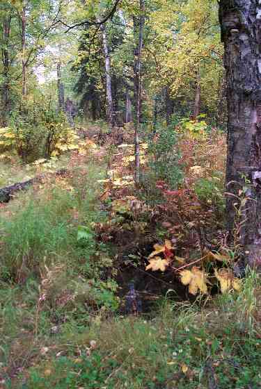
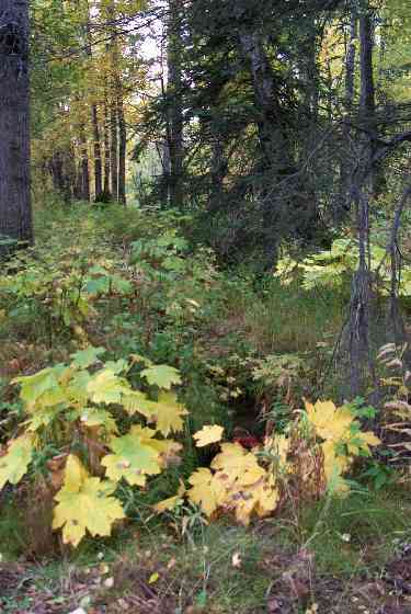
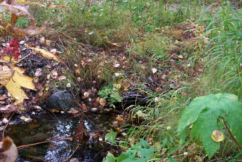
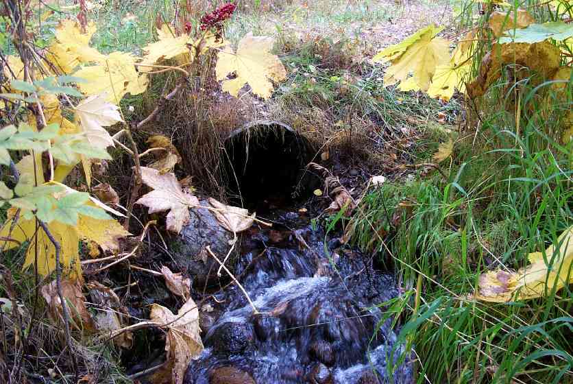
Site Comments: Creek just west Camp Challenge/culvert beneath camp trail nearst lake at top of steep grade. Culvert crossing is at top of steep grade, stream begins drop off hill/moraine approximately 30' downstream
arrow to the right of the survey date below to choose a different report for this site.
Survey MSCS1-CT113
Observers: Edward Weiss, Doug Hill, Joe Conner
Overall Fish Passage Rating:
Tidal: No
Backwatered: No
Step Pools:
Construction Year:
Site Observations:
- Culvert gradient red
- Constriction ratio red
- Hydraulic flows exceeded capacity
Comments: Culvert crossing is @ top of streep grade, stream begins drop off hill/moraine approximately 30' downstream. Upstream substrate type includes Fine Gravel.
Culvert Measurements
| ID: 1 | Structure Type: Circular pipe (Corrugated Metal) | Fish Passage Rating: | |||||||||||||||||||||||||||||||||||||||||
|
|
|
|||||||||||||||||||||||||||||||||||||||||
Culvert Observations:
|
|||||||||||||||||||||||||||||||||||||||||||
Stream Measurements
|
|
| Stream Width Type | Distance From Crossing (ft) |
Stream Width (ft) |
|---|---|---|
| Downstream ordinary high water | 50.0 | 2.80 |
| Downstream ordinary high water | 94.0 | 2.40 |
| Upstream ordinary high water | 48.0 | 4.00 |
| Upstream ordinary high water | 100.0 | 5.70 |
Elevations
| Locator ID | Culvert Number |
River Distance (ft)1 |
Distance From Crossing (ft)2 |
Relative Elevation (ft) |
|---|---|---|---|---|
| Outlet Culvert Top | 1 | 94.93 | ||
| Inlet Culvert Top | 1 | 94.96 | ||
| D/S Thalweg | 0.00 | 94.0 | 84.38 | |
| D/S Thalweg | 44.00 | 50.0 | 89.28 | |
| D/S Thalweg | 80.70 | 13.3 | 92.56 | |
| D/S Thalweg | 89.80 | 4.2 | 92.59 | |
| Outlet Invert | 1 | 94.00 | 0.0 | 93.23 |
| Outlet Thalweg | 1 | 94.00 | 0.0 | 93.23 |
| Road Elev | 102.50 | 95.56 | ||
| Road Elev | 102.50 | 95.81 | ||
| Inlet Culvert Invert | 1 | 111.00 | 0.0 | 93.83 |
| Inlet Thalweg | 1 | 111.00 | 0.0 | 93.83 |
| U/S Thalweg | 159.00 | 48.0 | 94.48 | |
| U/S Thalweg | 211.00 | 100.0 | 90.83 |
Notes:
- River distance is measured continuously throughout the survey reach along the thalweg of the stream.
- Measured from each end of the crossing along the thalweg of the stream.
Fish Sampling Efforts
| Gear Type: Minnow Trap (A) | Trap Duration(h): 0 | |
| Gear Type: Minnow Trap (B) | Trap Duration(h): 2 | |
Fish Observations
| Species: no fish collected or observed | Life History: Not Applicable | ||
| Total Fish Observed: 0 | Fish Measured: | Fork Lengths (mm) Min: Max: Mean: | |
| Collected/Observed by Gear Type: Downstream Minnow Trap (0) Upstream Minnow Trap (0) | |||
Photos
Questions or comments about this report can be directed to dfg.dsf.webmaster@alaska.gov