Fish Passage Site 20401269
Coordinates (dec. deg.): 61.63196°, -149.26443°
Legal Description: S018N001E22
Region: South Central
Road Name: Twin Lakes Drive
Datum: NAD83
Quad Name / ITM: Anchorage C-7
AWC Stream #:
Stream Name: Neklason Lake Tributary
Elevation:
Site Comments: East Twin Lakes Drive
arrow to the right of the survey date below to choose a different report for this site.
Survey MSCS1-CT112
Observers: Edward Weiss, Doug Hill, Joe Conner
Overall Fish Passage Rating:
Tidal: No
Backwatered: No
Step Pools:
Construction Year:
Site Observations:
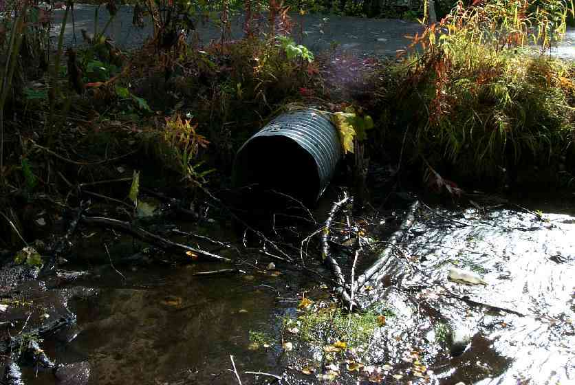
- Improper bedding
- Culvert gradient red
- Structural Problem
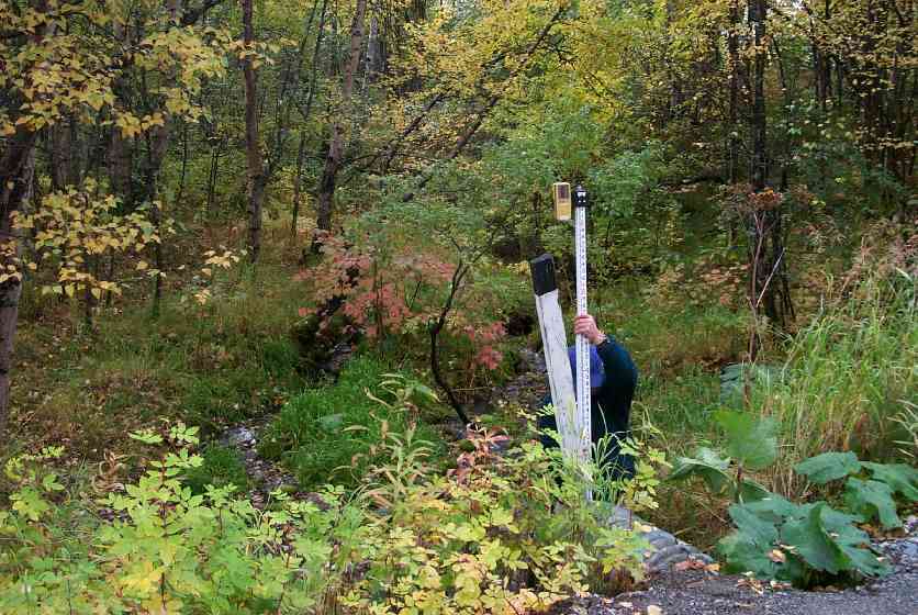
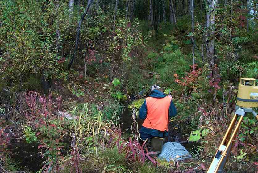
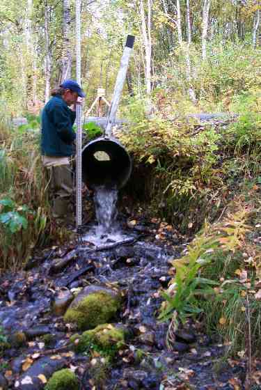
Comments: Bowed in corner; Outlet perched above stream; Appears that water over road @ times or run-off from road eroding outlet side of road.
Culvert Measurements
| ID: 1 | Structure Type: Circular pipe (Corrugated Metal) | Fish Passage Rating: | |||||||||||||||||||||||||||||||||||||||||
|
|
|
|||||||||||||||||||||||||||||||||||||||||
Culvert Observations:
|
|||||||||||||||||||||||||||||||||||||||||||
Stream Measurements
|
|
| Stream Width Type | Distance From Crossing (ft) |
Stream Width (ft) |
|---|---|---|
| Downstream ordinary high water | 56.0 | 8.10 |
| Downstream ordinary high water | 103.0 | 6.00 |
| Upstream ordinary high water | 50.0 | 2.50 |
| Upstream ordinary high water | 100.0 | 6.00 |
Elevations
| Locator ID | Culvert Number |
River Distance (ft)1 |
Distance From Crossing (ft)2 |
Relative Elevation (ft) |
|---|---|---|---|---|
| Outlet Culvert Top | 1 | 93.38 | ||
| Inlet Culvert Top | 1 | 95.20 | ||
| U/S Thalweg | 97.10 | |||
| U/S Thalweg | 99.49 | |||
| D/S Thalweg | 0.00 | 103.0 | 77.94 | |
| D/S Thalweg | 46.50 | 56.5 | 80.42 | |
| Outlet Thalweg | 1 | 103.00 | 0.0 | 90.21 |
| Outlet Invert | 1 | 103.00 | 0.0 | 91.07 |
| Road Elev | 119.00 | 95.23 | ||
| Road Elev | 119.00 | 95.66 | ||
| Inlet Thalweg | 1 | 135.00 | 0.0 | 93.12 |
| Inlet Culvert Invert | 1 | 135.00 | 0.0 | 93.16 |
| U/S Thalweg | 1 | 154.00 | 19.0 | 93.73 |
Notes:
- River distance is measured continuously throughout the survey reach along the thalweg of the stream.
- Measured from each end of the crossing along the thalweg of the stream.
Fish Sampling Efforts
| Gear Type: Minnow Trap (B) | Trap Duration(h): 1 | |
Fish Observations
| Species: juvenile/adult Dolly Varden | Life History: Unknown | ||
| Total Fish Observed: 6 | Fish Measured: 3 | Fork Lengths (mm) Min: 90 Max: 90 Mean: 90 | |
| Collected/Observed by Gear Type: Downstream Minnow Trap (6) | |||
Photos
Questions or comments about this report can be directed to dfg.dsf.webmaster@alaska.gov