Fish Passage Site 20401267
Coordinates (dec. deg.): 61.63185°, -149.24325°
Legal Description: S018N001E22
Region: South Central
Road Name: Settlement Road
Datum: WGS84
Quad Name / ITM: Anchorage C-6
AWC Stream #: 247-50-10300-2054
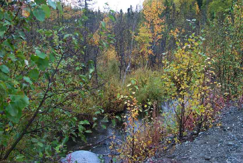
Stream Name: Cottonwood Creek
Elevation:
Site Comments: None
arrow to the right of the survey date below to choose a different report for this site.
Survey MSCS1-CT110
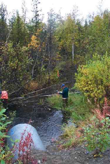
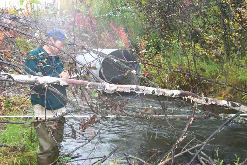
Observers: Edward Weiss, Doug Hill, Joe Conner
Overall Fish Passage Rating:
Tidal: No
Backwatered: No
Step Pools:
Construction Year:
Site Observations:
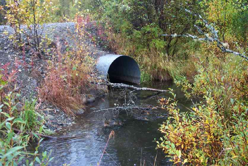
- Constriction ratio red
Comments: bullet holes in barrel @ inlet. Upstream thalweg (wetland-like, but mossy banks); Stream cross section (11.5' & 15.0' - sticks and woody debris/15.0' & 22.5 - emergent grass)
Culvert Measurements
| ID: 1 | Structure Type: Circular pipe (Corrugated Metal) | Fish Passage Rating: | |||||||||||||||||||||||||||||||||||||||||
|
|
|
|||||||||||||||||||||||||||||||||||||||||
Culvert Observations:
|
|||||||||||||||||||||||||||||||||||||||||||
Stream Measurements
|
|
| Stream Width Type | Distance From Crossing (ft) |
Stream Width (ft) |
|---|---|---|
| Downstream ordinary high water | 50.0 | 19.50 |
| Downstream ordinary high water | 100.0 | 13.00 |
| Upstream ordinary high water | 50.0 | 10.60 |
| Upstream ordinary high water | 100.0 | 12.00 |
Elevations
| Locator ID | Culvert Number |
River Distance (ft)1 |
Distance From Crossing (ft)2 |
Relative Elevation (ft) |
|---|---|---|---|---|
| U/S Thalweg | 86.43 | |||
| D/S Thalweg | 86.76 | |||
| D/S Thalweg | 86.85 | |||
| U/S Thalweg | 87.70 | |||
| Inlet Culvert Top | 1 | 91.81 | ||
| Outlet Culvert Top | 1 | 91.93 | ||
| D/S Tailcrest or 1st Thalweg (Changed from 11.69 to 13.55 error in data entry RES) | 0.00 | 18.0 | 88.31 | |
| OHW Left Bank | 4.00 | 14.0 | 85.83 | |
| D/S Thalweg | 9.00 | 9.0 | 85.53 | |
| Outlet Invert | 1 | 18.00 | 0.0 | 87.85 |
| Outlet Thalweg | 1 | 18.00 | 0.0 | 87.32 |
| Road Elev | 48.00 | 94.71 | ||
| Road Elev | 48.00 | 95.22 | ||
| Inlet Thalweg | 1 | 78.00 | 0.0 | 87.47 |
| Inlet Culvert Invert | 1 | 78.00 | 0.0 | 87.64 |
Notes:
- River distance is measured continuously throughout the survey reach along the thalweg of the stream.
- Measured from each end of the crossing along the thalweg of the stream.
Fish Sampling Efforts
No fish sampling occurred during this survey.
Fish Observations
No fish observations occurred during this survey.
Photos
Questions or comments about this report can be directed to dfg.dsf.webmaster@alaska.gov