Fish Passage Site 20401266
Coordinates (dec. deg.): 61.57262°, -149.03603°
Legal Description: S017N002E11
Region: South Central
Road Name: driveway off Bodenberg
Datum: NAD83
Quad Name / ITM: Anchorage C-6
AWC Stream #: 247-50-10200-2071-3025-4030
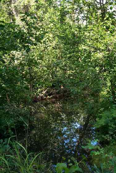
Stream Name: Bodenberg Creek
Elevation:
Site Comments: Private property
Survey MSCS1-BB008
Observers: Edward Weiss, Olof Jacobsson, Joe Conner
Overall Fish Passage Rating:
Tidal: No
Backwatered: No
Step Pools:
Construction Year:
Site Observations:
- Culvert gradient gray
Comments: None
Culvert Measurements
| ID: 1 | Structure Type: Circular pipe (Corrugated Metal) | Fish Passage Rating: | |||||||||||||||||||||||||||||||||||||||||
|
|
|
|||||||||||||||||||||||||||||||||||||||||
Culvert Observations:
|
|||||||||||||||||||||||||||||||||||||||||||
Stream Measurements
|
|
No stream width data available.
Elevations
| Locator ID | Culvert Number |
River Distance (ft)1 |
Distance From Crossing (ft)2 |
Relative Elevation (ft) |
|---|---|---|---|---|
| Outlet Culvert Top | 1 | 92.42 | ||
| Inlet Culvert Top | 1 | 92.59 | ||
| D/S Thalweg (D=0.9) | 0.00 | 50.0 | 87.86 | |
| OHW Left Bank (D=0.5) | 46.00 | 4.0 | 90.18 | |
| Outlet Invert | 1 | 50.00 | 0.0 | 90.06 |
| Outlet Thalweg | 1 | 50.00 | 0.0 | 90.06 |
| Road Elev | 60.00 | 94.23 | ||
| Road Elev | 60.00 | 94.26 | ||
| Inlet Culvert Invert | 1 | 70.00 | 0.0 | 90.59 |
| U/S Thalweg (Depth=0.9) | 1 | 70.05 | 0.05 | 90.28 |
| U/S Headwater (bankfull) | 95.00 | 25.0 | 90.31 | |
| U/S Thalweg (D=1.7) | 95.00 | 25.0 | 89.45 | |
| U/S Thalweg | 120.00 | 50.0 | 90.25 |
Notes:
- River distance is measured continuously throughout the survey reach along the thalweg of the stream.
- Measured from each end of the crossing along the thalweg of the stream.
Fish Sampling Efforts
| Gear Type: Minnow Trap (A) | Trap Duration(h): 1 | |
| Gear Type: Minnow Trap (B) | Trap Duration(h): 1 | |
| Gear Type: Dip Net (E) | Trap Duration(h): 1 | |
Fish Observations
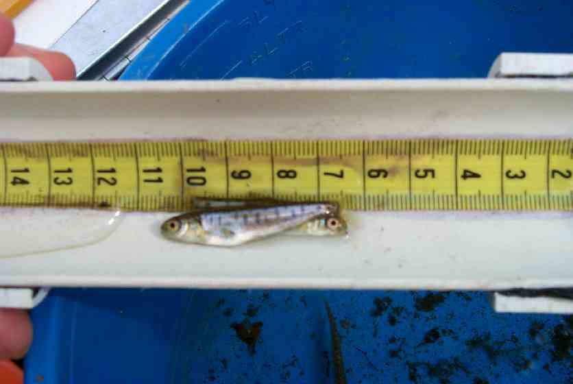
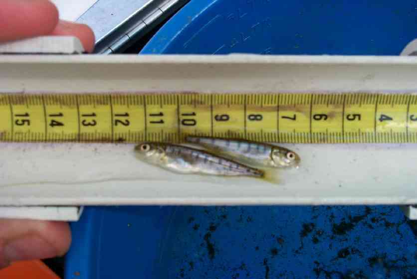
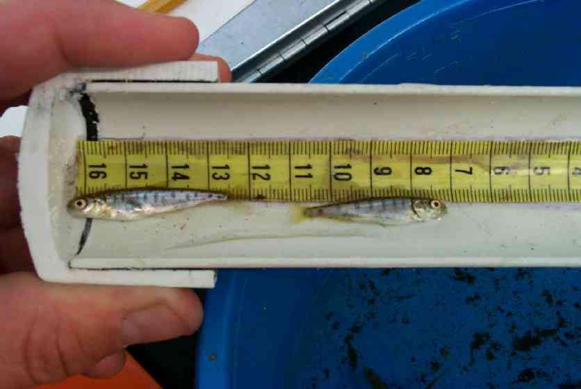
| Species: juvenile sockeye salmon | Life History: Anadromous | ||
| Total Fish Observed: 14 | Fish Measured: 7 | Fork Lengths (mm) Min: 32 Max: 40 Mean: 37 | |
| Collected/Observed by Gear Type: Upstream Dip Net (14) | |||
| Comments: Dipped from school of 100s - 100' upstream of culvert | |||
| Species: no fish collected or observed | Life History: Not Applicable | ||
| Total Fish Observed: 0 | Fish Measured: | Fork Lengths (mm) Min: Max: Mean: | |
| Collected/Observed by Gear Type: Downstream Minnow Trap (0) Upstream Minnow Trap (0) | |||
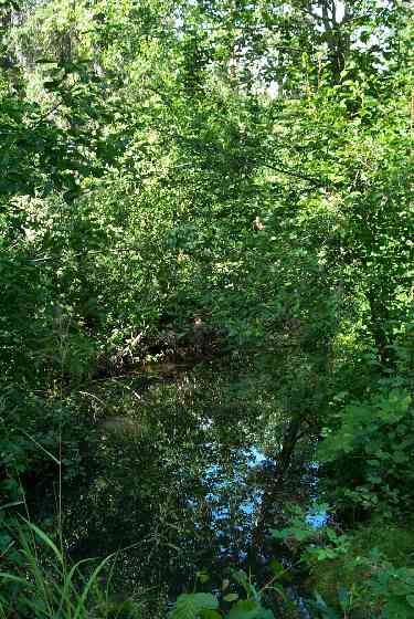
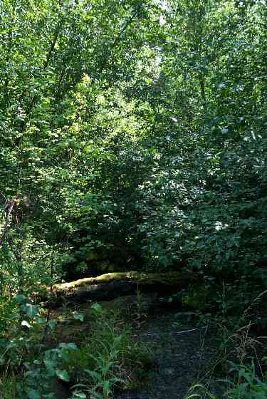
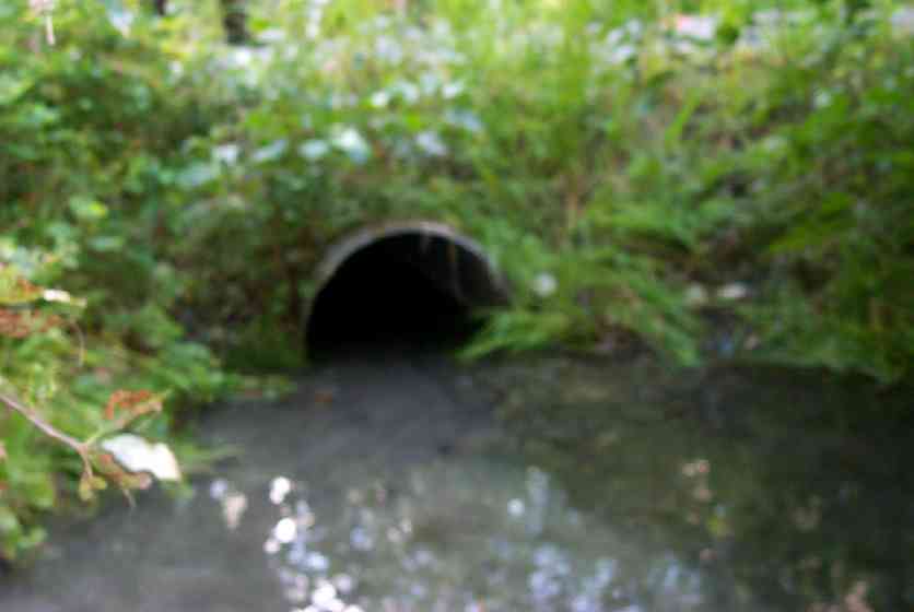
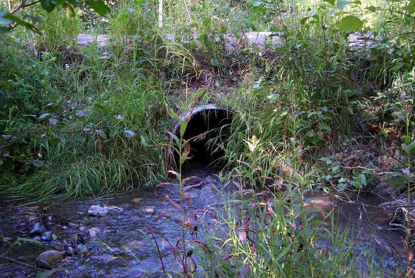
Photos
Questions or comments about this report can be directed to dfg.dsf.webmaster@alaska.gov