Fish Passage Site 20401264
Coordinates (dec. deg.): 61.57038°, -149.03866°
Legal Description: S017N002E14
Region: South Central
Road Name: private drive - Goodrich
Datum: NAD83
Quad Name / ITM: Anchorage C-6
AWC Stream #: 247-50-10200-2071-3025-4030
Stream Name: Bodenberg Creek
Elevation:
Site Comments: None
Multiple surveys have been conducted at this site — click on the drop down
arrow to the right of the survey date below to choose a different report for this site.
arrow to the right of the survey date below to choose a different report for this site.
Survey MSCS1-BB006
Observers: Edward Weiss, Olof Jacobsson, Joe Conner
Overall Fish Passage Rating:
Tidal: No
Backwatered: No
Step Pools:
Construction Year:
Site Observations:
- Constriction ratio red
Comments: None
Culvert Measurements
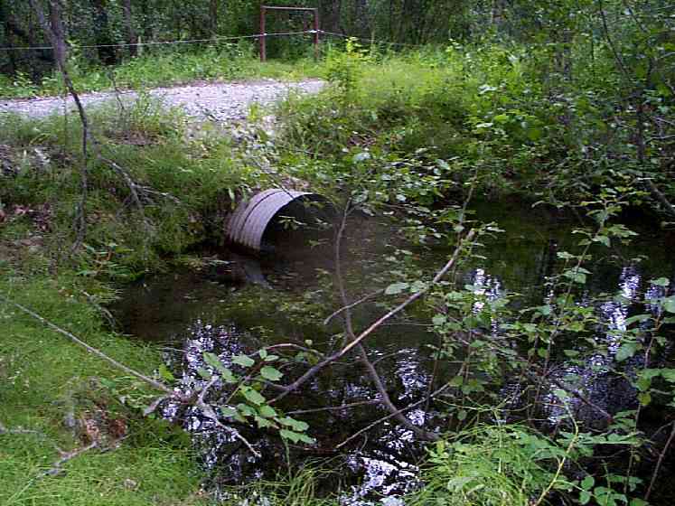
| ID: 1 | Structure Type: Circular pipe (Corrugated Metal) | Fish Passage Rating: | |||||||||||||||||||||||||||||||||||||||||
|
|
|
|||||||||||||||||||||||||||||||||||||||||
Culvert Observations:
|
|||||||||||||||||||||||||||||||||||||||||||
Stream Measurements
|
|
| Stream Width Type | Distance From Crossing (ft) |
Stream Width (ft) |
|---|---|---|
| Downstream ordinary high water | 45.0 | 18.00 |
| Upstream ordinary high water | 50.0 | 23.00 |
Elevations
| Locator ID | Culvert Number |
River Distance (ft)1 |
Distance From Crossing (ft)2 |
Relative Elevation (ft) |
|---|---|---|---|---|
| D/S Thalweg | 88.90 | |||
| U/S Thalweg | 90.20 | |||
| Outlet Culvert Top | 1 | 93.01 | ||
| Inlet Culvert Top | 1 | 93.04 | ||
| D/S Thalweg | 0.00 | 45.0 | 88.85 | |
| D/S Tailcrest or 1st Thalweg (0.8 depth) | 34.00 | 11.0 | 89.76 | |
| D/S Thalweg | 40.00 | 5.0 | 89.56 | |
| Outlet Thalweg | 1 | 45.00 | 0.0 | 89.56 |
| Outlet Invert | 1 | 45.00 | 0.0 | 90.08 |
| Road Elev | 57.50 | 94.35 | ||
| Road Elev | 57.50 | 94.51 | ||
| Inlet Culvert Invert | 1 | 70.00 | 0.0 | 90.16 |
| Inlet Thalweg | 1 | 70.00 | 0.0 | 90.00 |
| U/S Thalweg | 1 | 71.00 | 1.0 | 90.00 |
| U/S Thalweg | 185.00 | 115.0 | 89.80 |
Notes:
- River distance is measured continuously throughout the survey reach along the thalweg of the stream.
- Measured from each end of the crossing along the thalweg of the stream.
Fish Sampling Efforts
| Gear Type: Minnow Trap (A) | Trap Duration(h): 4 | |
| Comments: 25' upstream culvert. | ||
| Gear Type: Minnow Trap (B) | Trap Duration(h): 4 | |
Fish Observations
| Species: juvenile sockeye salmon | Life History: Anadromous | ||
| Total Fish Observed: 2 | Fish Measured: 1 | Fork Lengths (mm) Min: 50 Max: 50 Mean: 50 | |
| Collected/Observed by Gear Type: Upstream Minnow Trap (2) | |||
| Species: no fish collected or observed | Life History: Not Applicable | ||
| Total Fish Observed: 0 | Fish Measured: | Fork Lengths (mm) Min: Max: Mean: | |
| Collected/Observed by Gear Type: Downstream Minnow Trap (0) | |||
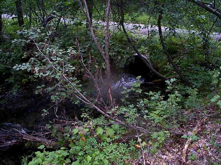
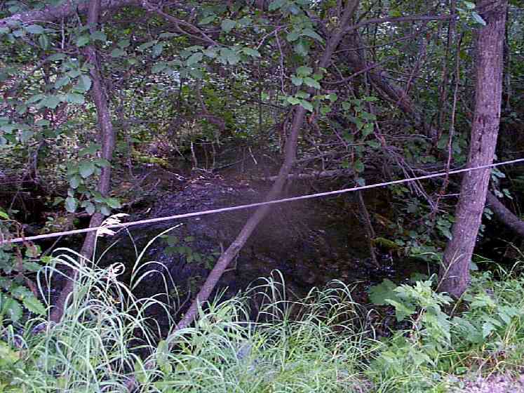
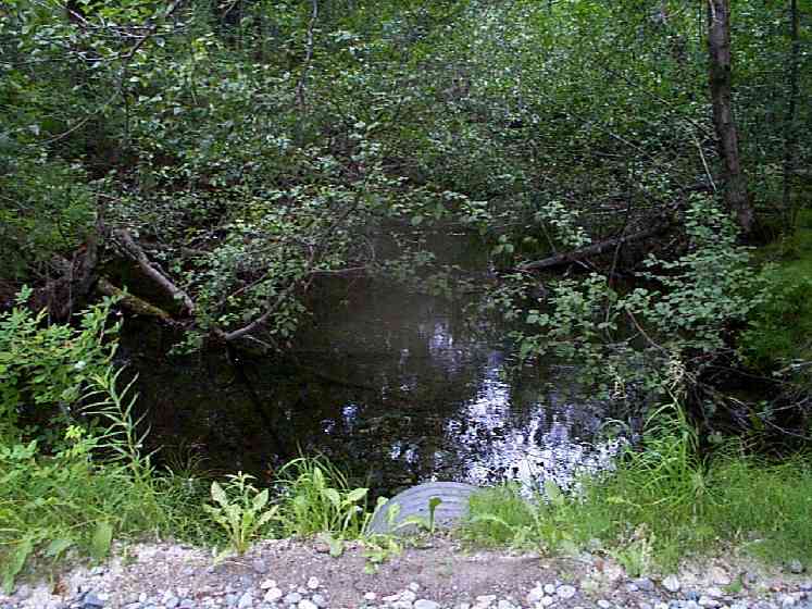
Photos
Questions or comments about this report can be directed to dfg.dsf.webmaster@alaska.gov