Fish Passage Site 20401262
Coordinates (dec. deg.): 61.56402°, -149.04028°
Legal Description: S017N002E14
Region: South Central
Road Name: private drive
Datum: WGS84
Quad Name / ITM: Anchorage C-6
AWC Stream #: 247-50-10200-2071
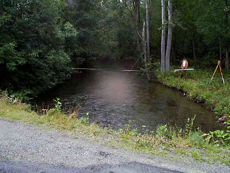
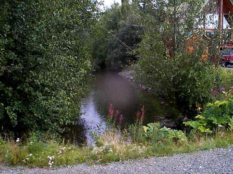
Stream Name: Bodenberg Creek
Elevation:
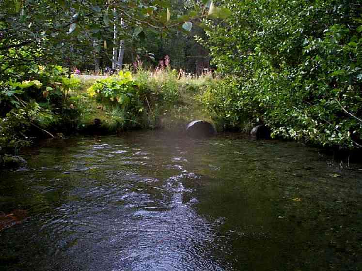
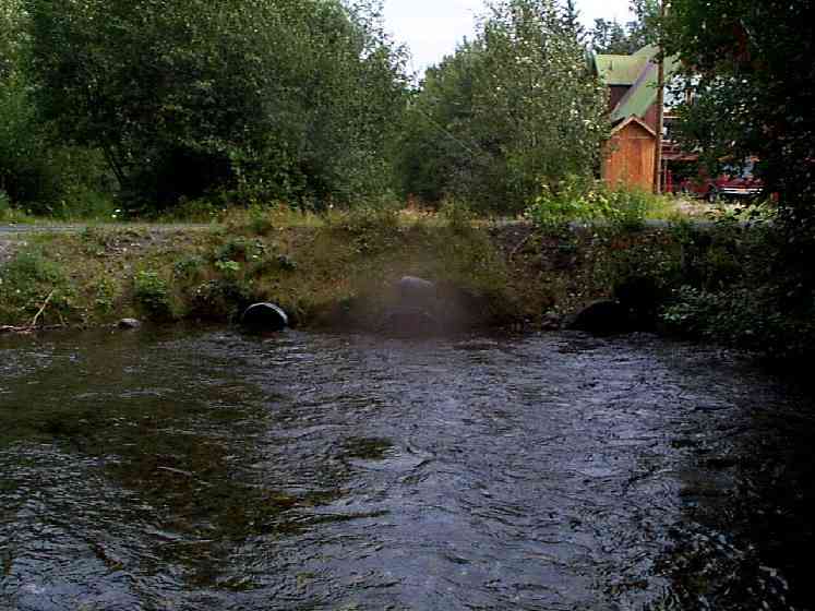
Site Comments: Landowners did not seem to mind our presence. Be mindful of high flow through narrow pipes, it was difficult to navigate around them safely at times.
arrow to the right of the survey date below to choose a different report for this site.
Survey MSCS1-BB004
Observers: Edward Weiss, Olof Jacobsson, Joe Conner
Overall Fish Passage Rating:
Tidal: No
Backwatered: No
Step Pools:
Construction Year:
Site Observations:
- Constriction ratio gray
Comments: None
Culvert Measurements
| ID: 1 | Structure Type: Circular pipe (Corrugated Metal) | Fish Passage Rating: | |||||||||||||||||||||||||||||||||||||||||
|
|
|
|||||||||||||||||||||||||||||||||||||||||
| ID: 2 | Structure Type: Circular pipe (Corrugated Metal) | Fish Passage Rating: | |||||||||||||||||||||||||||||||||||||||||
|
|
|
|||||||||||||||||||||||||||||||||||||||||
| ID: 3 | Structure Type: Circular pipe (Corrugated Metal) | Fish Passage Rating: | |||||||||||||||||||||||||||||||||||||||||
|
|
|
|||||||||||||||||||||||||||||||||||||||||
Stream Measurements
|
|
No stream width data available.
Elevations
| Locator ID | Culvert Number |
River Distance (ft)1 |
Distance From Crossing (ft)2 |
Relative Elevation (ft) |
|---|---|---|---|---|
| U/S Thalweg | 88.97 | |||
| U/S Thalweg | 89.37 | |||
| Outlet Culvert Top | 3 | 91.52 | ||
| Inlet Culvert Top | 1 | 91.57 | ||
| Inlet Culvert Top | 2 | 91.71 | ||
| Outlet Culvert Top | 1 | 91.77 | ||
| Inlet Culvert Top | 3 | 91.85 | ||
| Outlet Culvert Top | 2 | 91.97 | ||
| D/S Thalweg | 0.00 | 145.0 | 90.65 | |
| D/S Thalweg | 50.00 | 95.0 | 88.10 | |
| D/S Thalweg | 117.00 | 28.0 | 88.80 | |
| OHW Left Bank | 136.00 | 9.0 | 88.82 | |
| Outlet Invert | 3 | 145.00 | 0.0 | 88.78 |
| Outlet Thalweg | 3 | 145.00 | 0.0 | 88.78 |
| Outlet Invert | 2 | 145.00 | 0.0 | 89.34 |
| Outlet Invert | 1 | 145.00 | 0.0 | 89.70 |
| Road Elev | 161.00 | 94.70 | ||
| Road Elev | 161.00 | 94.78 | ||
| Inlet Culvert Invert | 1 | 177.00 | 0.0 | 89.42 |
| Inlet Culvert Invert | 2 | 177.00 | 0.0 | 89.44 |
| Inlet Culvert Invert | 3 | 177.00 | 0.0 | 89.30 |
Notes:
- River distance is measured continuously throughout the survey reach along the thalweg of the stream.
- Measured from each end of the crossing along the thalweg of the stream.
Fish Sampling Efforts
| Gear Type: Minnow Trap (A) | Trap Duration(h): 2 | |
| Gear Type: Minnow Trap (B) | Trap Duration(h): 2 | |
Fish Observations
| Species: no fish collected or observed | Life History: Not Applicable | ||
| Total Fish Observed: 0 | Fish Measured: | Fork Lengths (mm) Min: Max: Mean: | |
| Collected/Observed by Gear Type: Downstream Minnow Trap (0) Upstream Minnow Trap (0) | |||
Photos
Questions or comments about this report can be directed to dfg.dsf.webmaster@alaska.gov