Fish Passage Site 20401259
Coordinates (dec. deg.): 61.57624°, -149.04235°
Legal Description: S017N002E11
Region: South Central
Road Name: Driveway off Old Glenn Highway
Datum: WGS84
Quad Name / ITM: Anchorage C-6
AWC Stream #: 247-50-10200-2071-3025
Stream Name: Bodenberg Creek
Elevation:
Site Comments: None
arrow to the right of the survey date below to choose a different report for this site.
Survey MSCS1-BB001
Observers: Edward Weiss, Olof Jacobsson, Joe Conner
Overall Fish Passage Rating:
Tidal: No
Backwatered: No
Step Pools:
Construction Year:
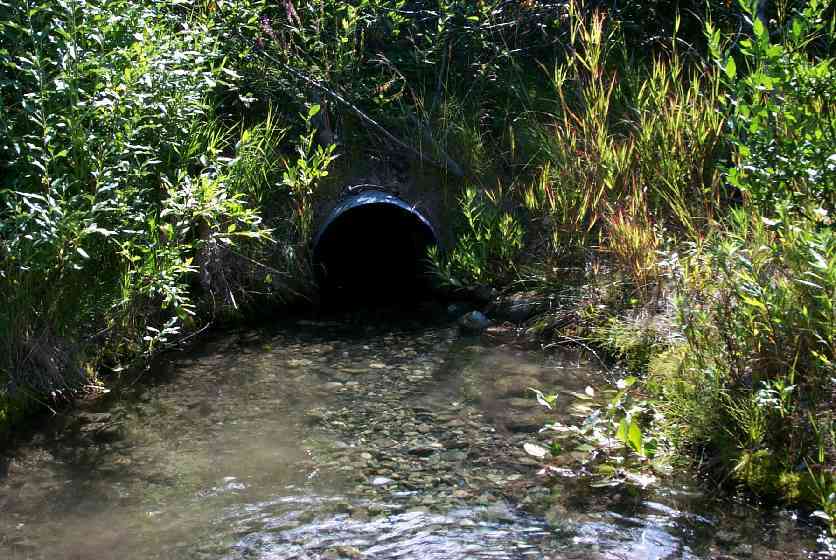
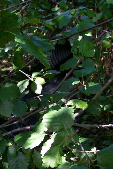
Comments: Landowner - sockeyes/coho spawn just below culvert and move above it. Perched - installed per ADF&G according to landowner comments. Round Multiplate. Bottom plate extends 0.7' on lower Bankfull @ 4.8 & 9' OHW 5 & 8.6 Wett Perimeter 5.4 & 8.4
Culvert Measurements
| ID: 1 | Structure Type: Circular pipe (Corrugated Metal) | Fish Passage Rating: | |||||||||||||||||||||||||||||||||||||||||
|
|
|
|||||||||||||||||||||||||||||||||||||||||
Culvert Observations:
|
|||||||||||||||||||||||||||||||||||||||||||
Stream Measurements
|
|
| Stream Width Type | Distance From Crossing (ft) |
Stream Width (ft) |
|---|---|---|
| Downstream ordinary high water | 103.0 | 27.00 |
| Upstream ordinary high water | 100.0 | 50.00 |
Elevations
| Locator ID | Culvert Number |
River Distance (ft)1 |
Distance From Crossing (ft)2 |
Relative Elevation (ft) |
|---|---|---|---|---|
| D/S Tailcrest or 1st Thalweg | 86.81 | |||
| Outlet Culvert Top | 1 | 89.00 | ||
| Inlet Culvert Top | 1 | 89.04 | ||
| U/S Thalweg | 1 | 86.52 | ||
| D/S Thalweg | 0.00 | 103.0 | 84.89 | |
| D/S Thalweg | 50.00 | 53.0 | 84.84 | |
| D/S Thalweg | 102.00 | 1.0 | 86.56 | |
| Outlet Thalweg | 1 | 103.00 | 0.0 | 86.66 |
| Outlet Invert | 1 | 103.00 | 0.0 | 87.00 |
| Road Elev | 123.00 | 94.66 | ||
| Road Elev | 123.00 | 94.70 | ||
| Inlet Culvert Invert | 1 | 143.00 | 0.0 | 87.02 |
| Inlet Thalweg | 1 | 144.50 | 1.5 | 87.03 |
| U/S Thalweg | 193.00 | 50.0 | 85.55 | |
| U/S Thalweg | 243.00 | 100.0 | 84.46 |
Notes:
- River distance is measured continuously throughout the survey reach along the thalweg of the stream.
- Measured from each end of the crossing along the thalweg of the stream.
Fish Sampling Efforts
| Gear Type: Minnow Trap (A) | Trap Duration(h): 3 | |
Fish Observations
| Species: no fish collected or observed | Life History: Not Applicable | ||
| Total Fish Observed: 1 | Fish Measured: 1 | Fork Lengths (mm) Min: 33 Max: 33 Mean: 33 | |
| Collected/Observed by Gear Type: Upstream Minnow Trap (1) | |||
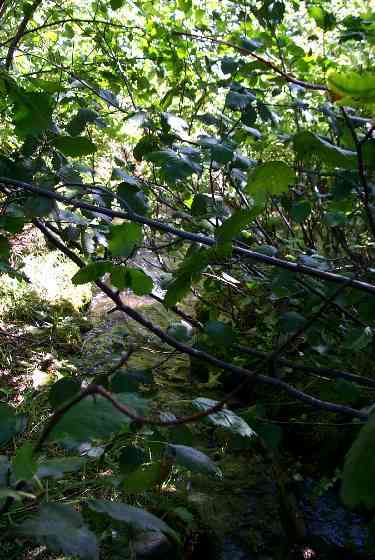
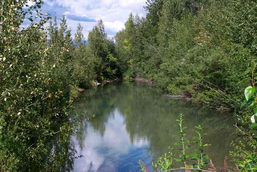
Photos
Questions or comments about this report can be directed to dfg.dsf.webmaster@alaska.gov