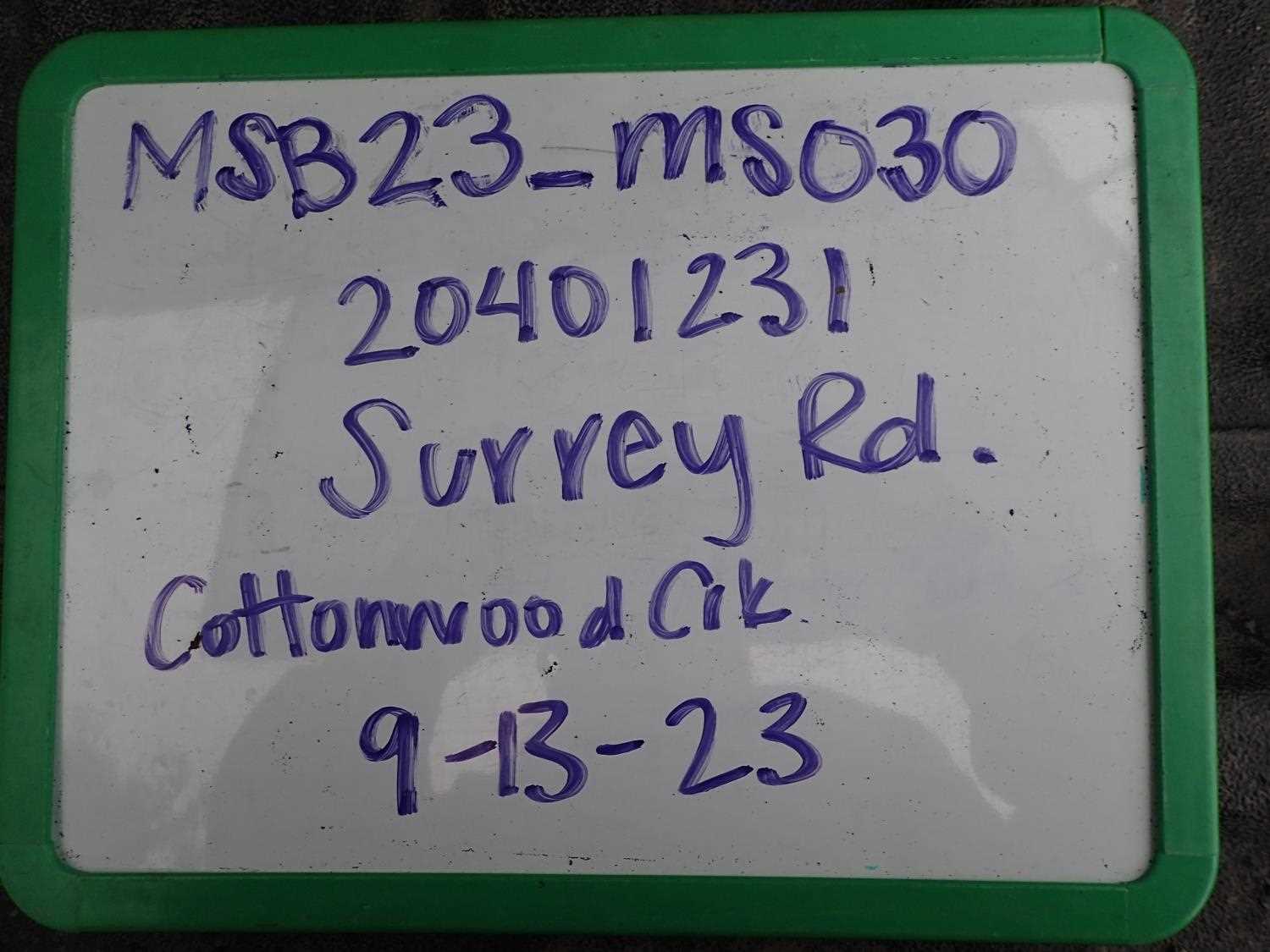
Fish Passage Site 20401231
Coordinates (dec. deg.): 61.52496°, -149.52979°
Legal Description: S017N001W31
Region: South Central
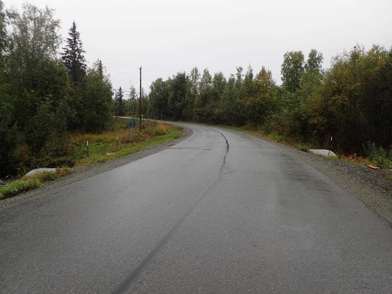
Road Name: Surrey Road
Datum: WGS84
Quad Name / ITM: Anchorage C-7
AWC Stream #:
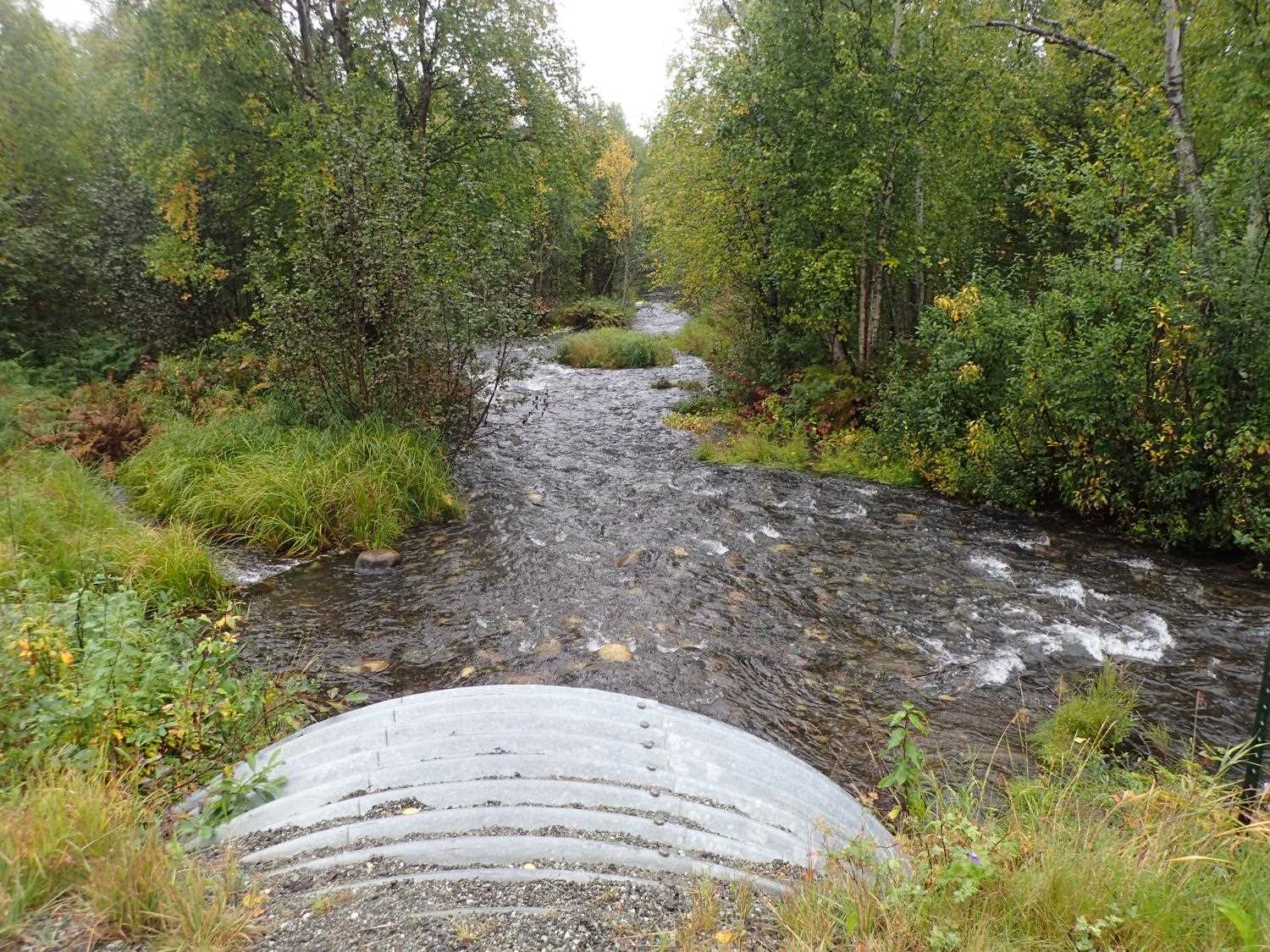
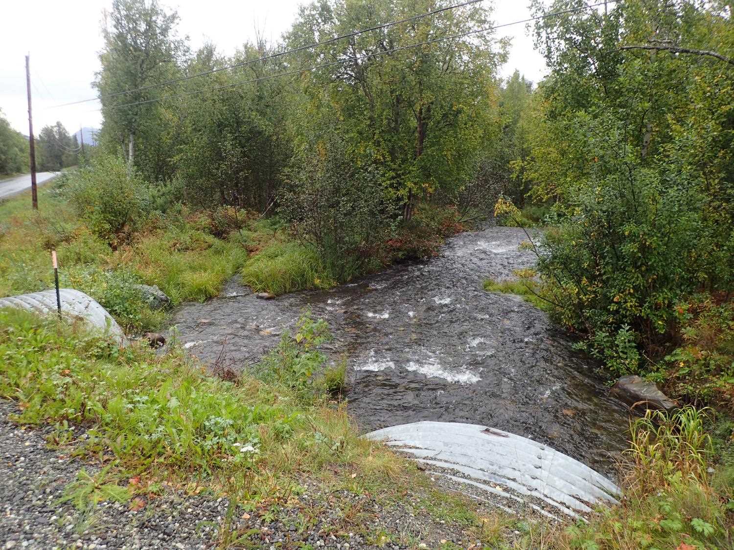
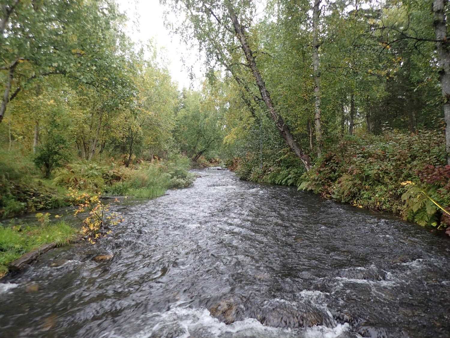
Stream Name: Cottonwood Creek Trib
Elevation:
Site Comments: None
arrow to the right of the survey date below to choose a different report for this site.
Survey MSB23-MS030
Project Supervisor: Michael Mazzacavallo, Alaska Department of Fish and Game
— Anchorage, AK
Observers: Michael Mazzacavallo, Beth Evers, Kat Leavitt
Overall Fish Passage Rating:
Tidal: No
Backwatered: No
Step Pools: No
Construction Year: 2007
Site Observations:
- None of this type
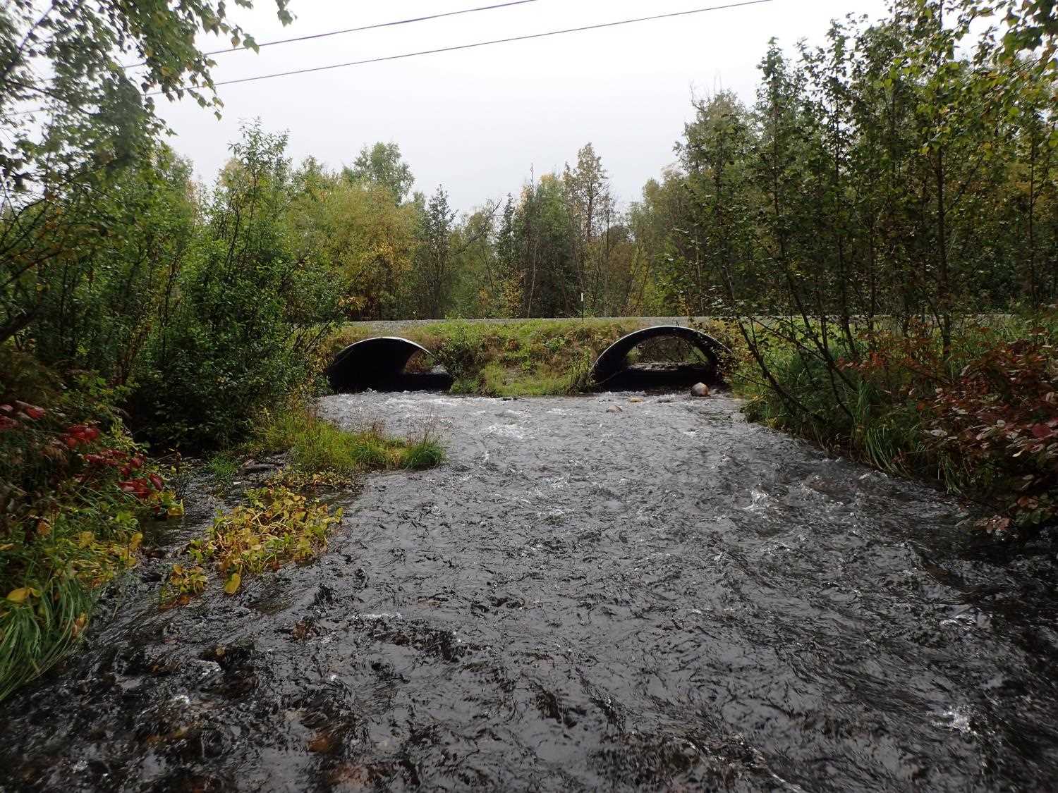
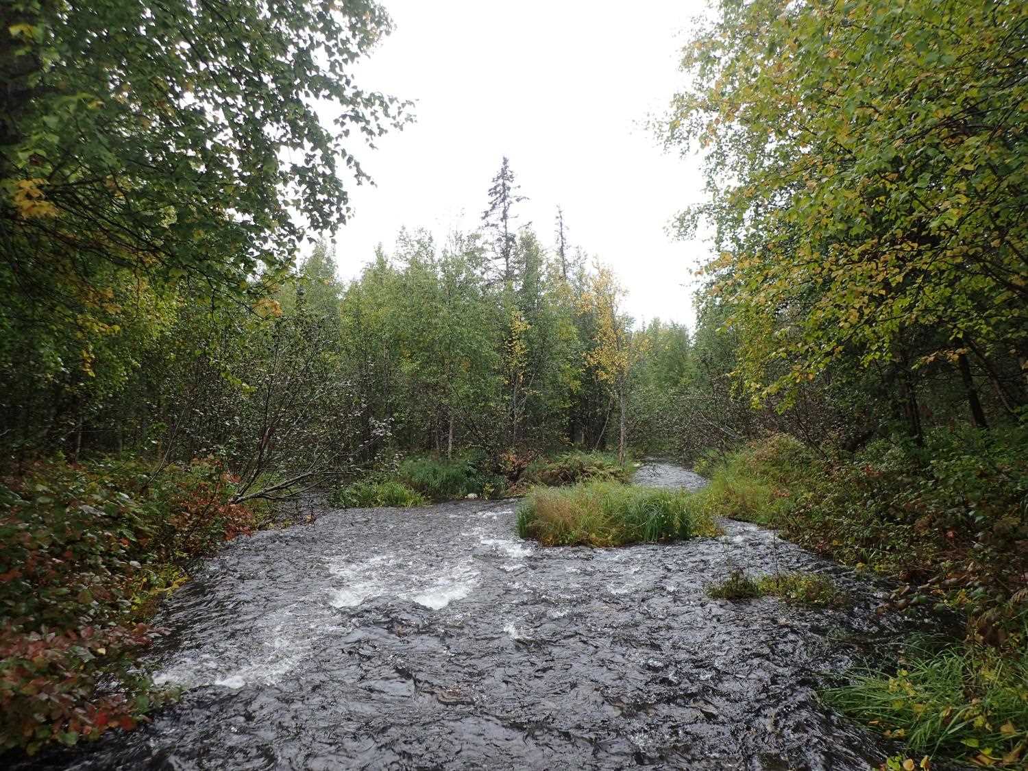
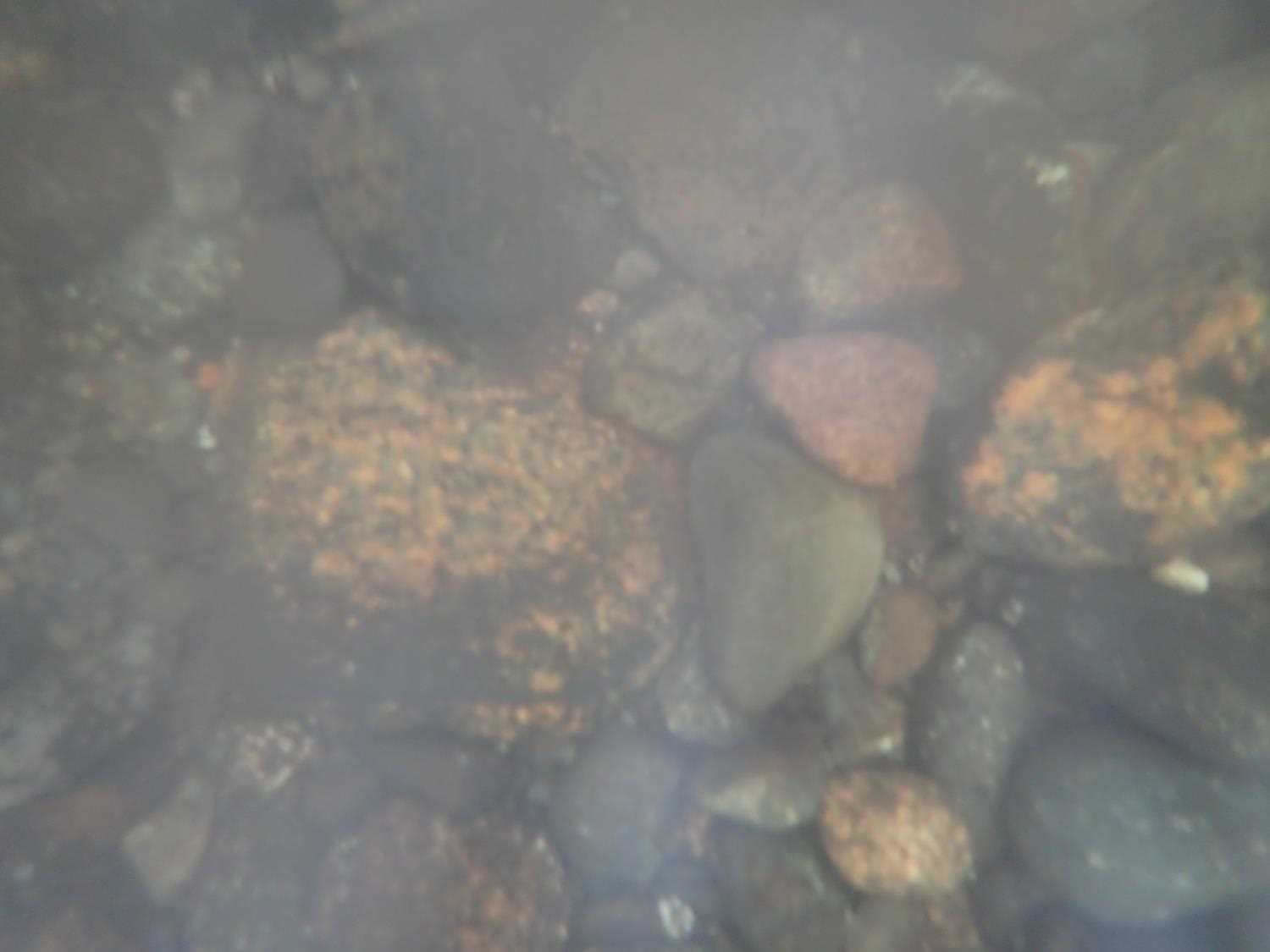
Comments: Large Sockeye adult spotted upstream. Inlet #1 and 2 have separate streams that converge higher upstream. Outlet only has one combined stream.
Culvert Measurements
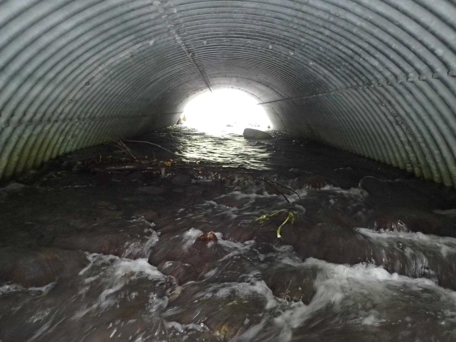
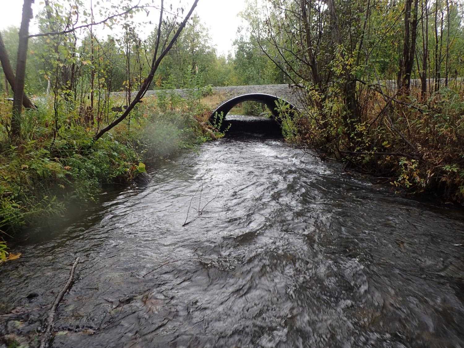
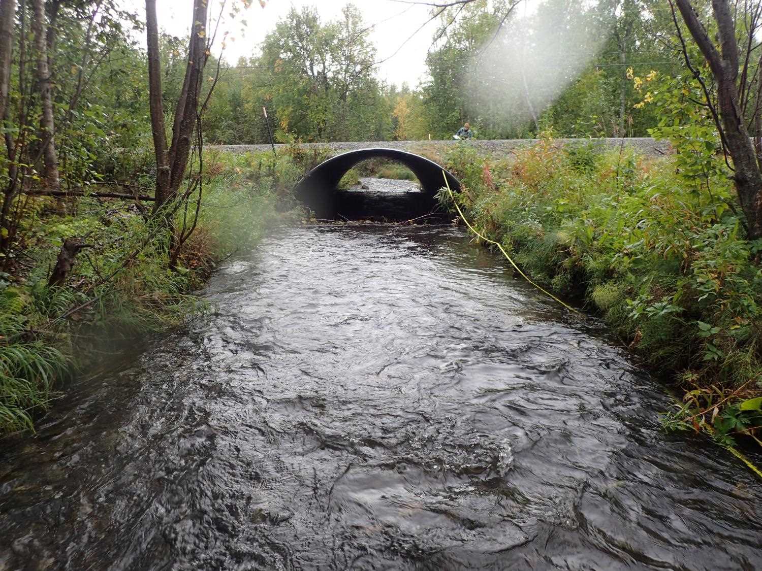
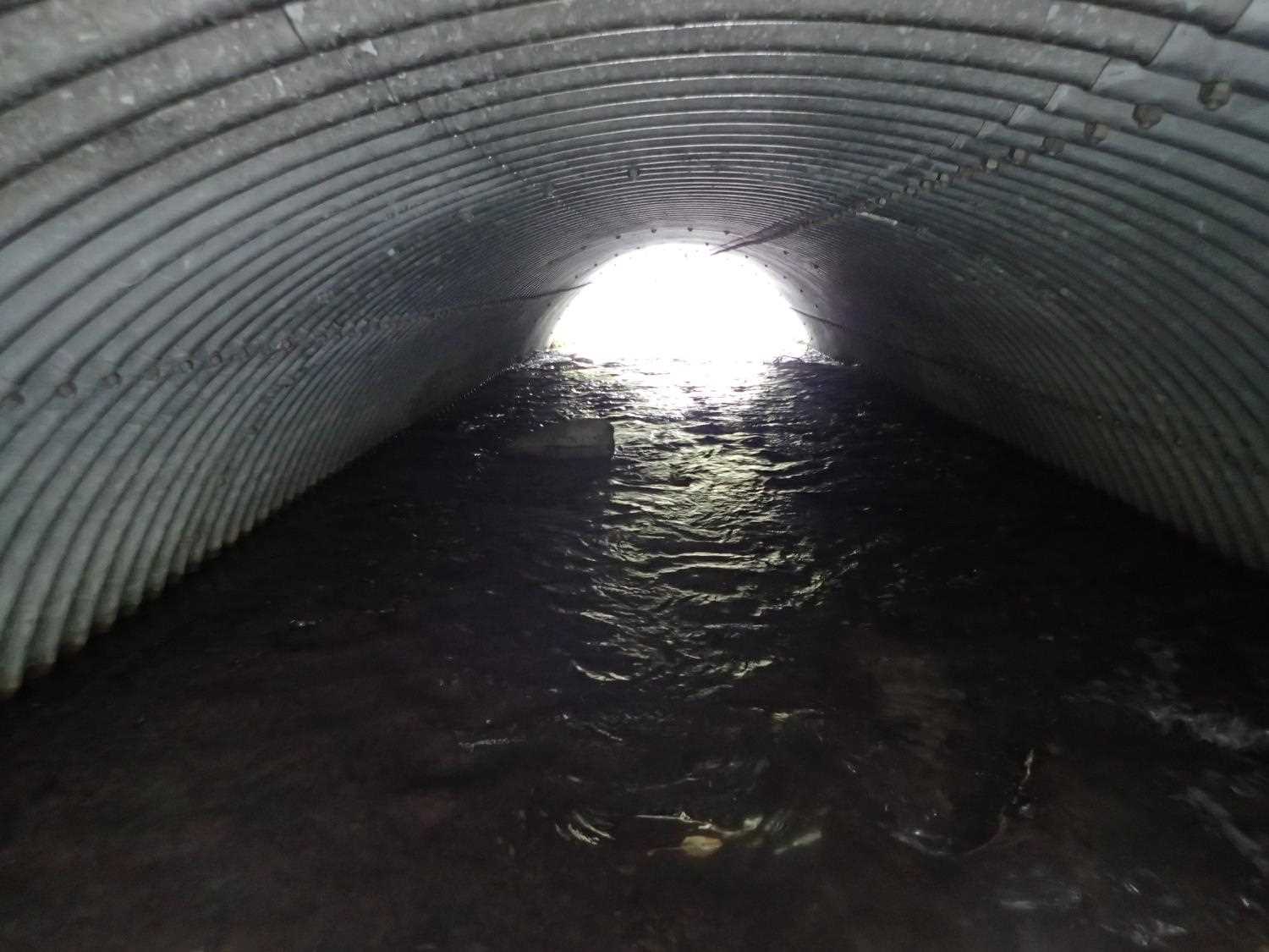
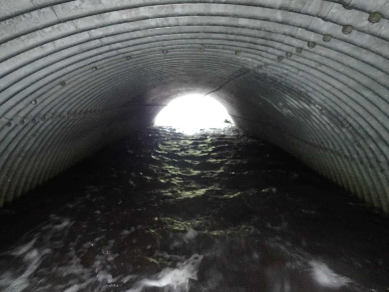
| ID: 1 | Structure Type: Open-bottom arch (Structural steel plate) | Fish Passage Rating: | ||||||||||||||||||||||||||||||||||||||||||
|
|
|
||||||||||||||||||||||||||||||||||||||||||
Comments: No constriction ratio calculations due to 2 open bottom pipe arches. |
||||||||||||||||||||||||||||||||||||||||||||
Culvert Observations:
|
||||||||||||||||||||||||||||||||||||||||||||
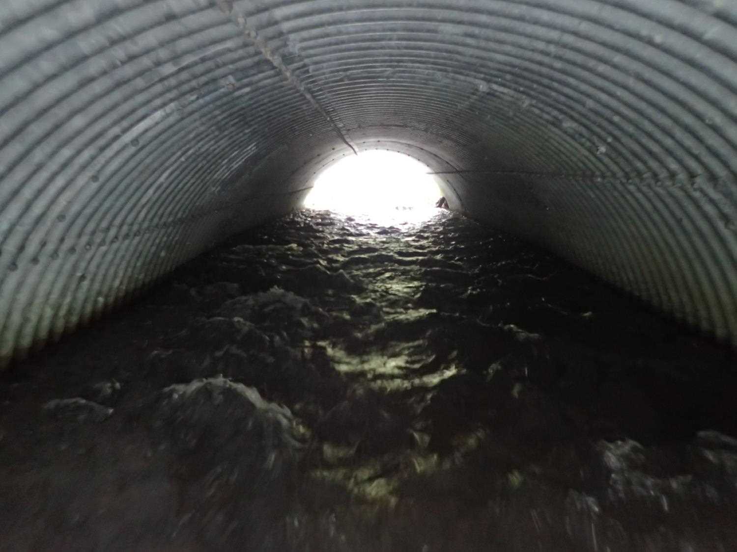
| ID: 2 | Structure Type: Open-bottom arch (Structural steel plate) | Fish Passage Rating: | ||||||||||||||||||||||||||||||||||||||||||
|
|
|
||||||||||||||||||||||||||||||||||||||||||
Culvert Observations:
|
||||||||||||||||||||||||||||||||||||||||||||
Stream Measurements
|
|
| Stream Width Type | Distance From Crossing (ft) |
Stream Width (ft) |
|---|---|---|
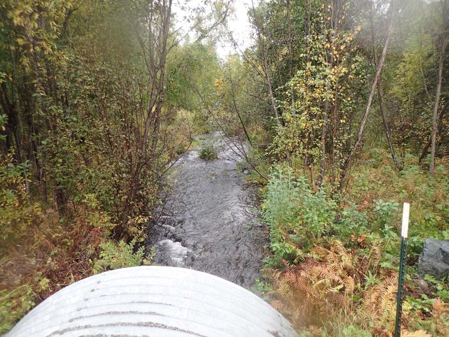
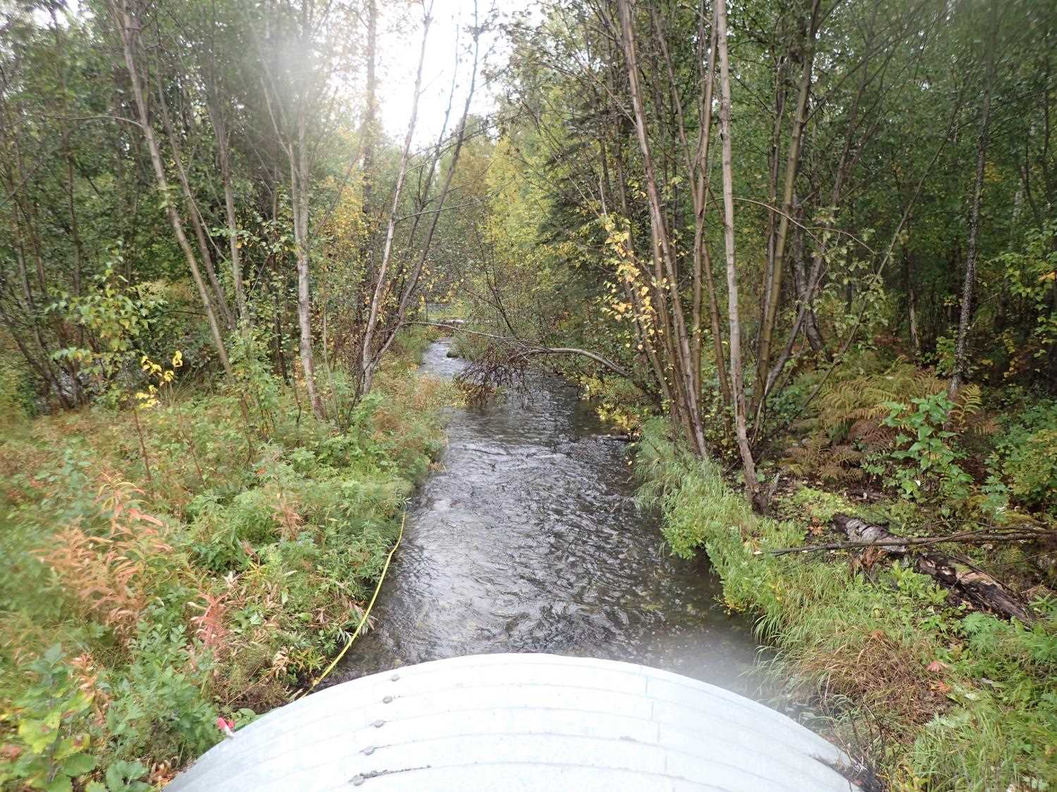
| Downstream ordinary high water | 62.0 | 37.00 |
| Downstream ordinary high water | 120.0 | 49.20 |
| Downstream ordinary high water | 200.0 | 59.00 |
Elevations
| Locator ID | Culvert Number |
River Distance (ft)1 |
Distance From Crossing (ft)2 |
Relative Elevation (ft) |
|---|---|---|---|---|
| Road Elev | 102.01 | |||
| D/S Thalweg | 0.00 | 91.00 | ||
| D/S Water Surface Elev | 0.00 | 91.97 | ||
| D/S Thalweg | 79.00 | 93.30 | ||
| D/S Water Surface Elev | 79.00 | 94.16 | ||
| Outlet Invert | 2 | 119.00 | 94.33 | |
| Outlet Invert | 1 | 119.00 | 94.66 | |
| D/S Water Surface Elev | 1 | 119.00 | 94.90 | |
| D/S Water Surface Elev | 2 | 119.00 | 95.08 | |
| Outlet Culvert Top | 2 | 119.00 | 99.93 | |
| Outlet Culvert Top | 1 | 119.00 | 100.08 | |
| Inlet Culvert Top | 2 | 169.42 | 100.98 | |
| Inlet Culvert Top | 1 | 169.42 | 100.99 | |
| Inlet Culvert Invert | 2 | 169.42 | 95.54 | |
| Inlet Culvert Invert | 1 | 169.42 | 95.92 | |
| U/S Water Surface Elev | 1 | 169.42 | 96.09 | |
| U/S Water Surface Elev | 2 | 169.42 | 96.52 | |
| U/S Water Surface Elev (Pool WS) | 1 | 180.42 | 96.76 | |
| U/S Thalweg (Pool Depth) | 1 | 180.42 | 95.77 | |
| U/S Water Surface Elev | 1 | 208.42 | 96.98 | |
| U/S Thalweg | 1 | 208.42 | 96.26 | |
| U/S Thalweg | 2 | 241.42 | 96.65 | |
| U/S Water Surface Elev | 2 | 241.42 | 97.06 | |
| U/S Thalweg | 1 | 258.42 | 96.78 | |
| U/S Water Surface Elev | 1 | 258.42 | 97.58 | |
| U/S Thalweg | 2 | 263.42 | 97.64 | |
| U/S Water Surface Elev | 2 | 263.42 | 98.32 | |
| U/S Water Surface Elev | 1 | 274.42 | 98.25 | |
| U/S Thalweg | 1 | 274.42 | 97.23 | |
| U/S Thalweg | 314.42 | 99.08 | ||
| U/S Water Surface Elev | 314.42 | 99.35 | ||
| U/S Thalweg | 376.42 | 99.42 | ||
| U/S Water Surface Elev | 376.42 | 100.22 |
Notes:
- River distance is measured continuously throughout the survey reach along the thalweg of the stream.
- Measured from each end of the crossing along the thalweg of the stream.
Fish Sampling Efforts
No fish sampling occurred during this survey.
Fish Observations
No fish observations occurred during this survey.
Photos
Questions or comments about this report can be directed to dfg.dsf.webmaster@alaska.gov