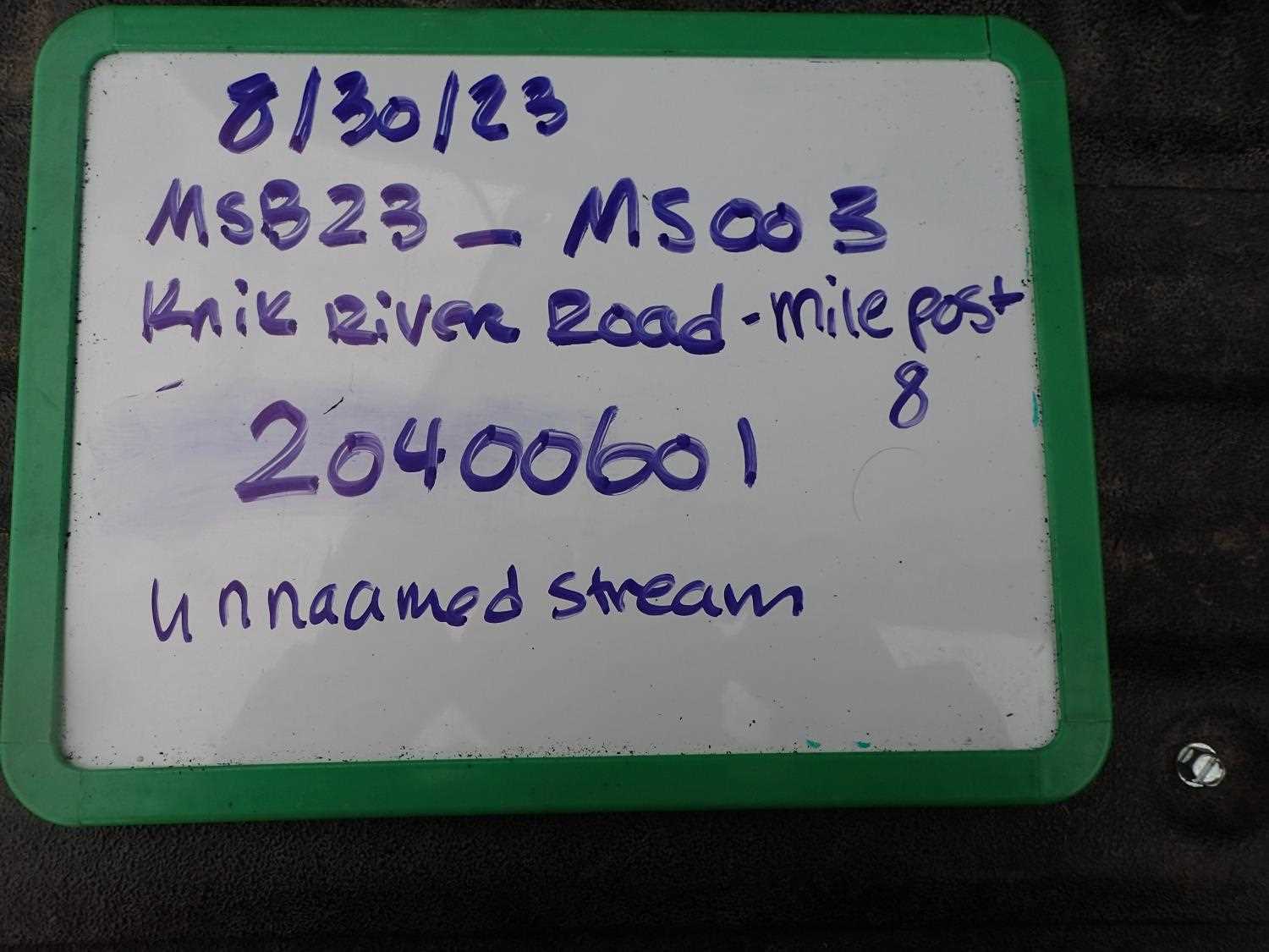
Fish Passage Site 20400601
Coordinates (dec. deg.): 61.45677°, -148.84026°
Legal Description: S016N003E24
Region: South Central
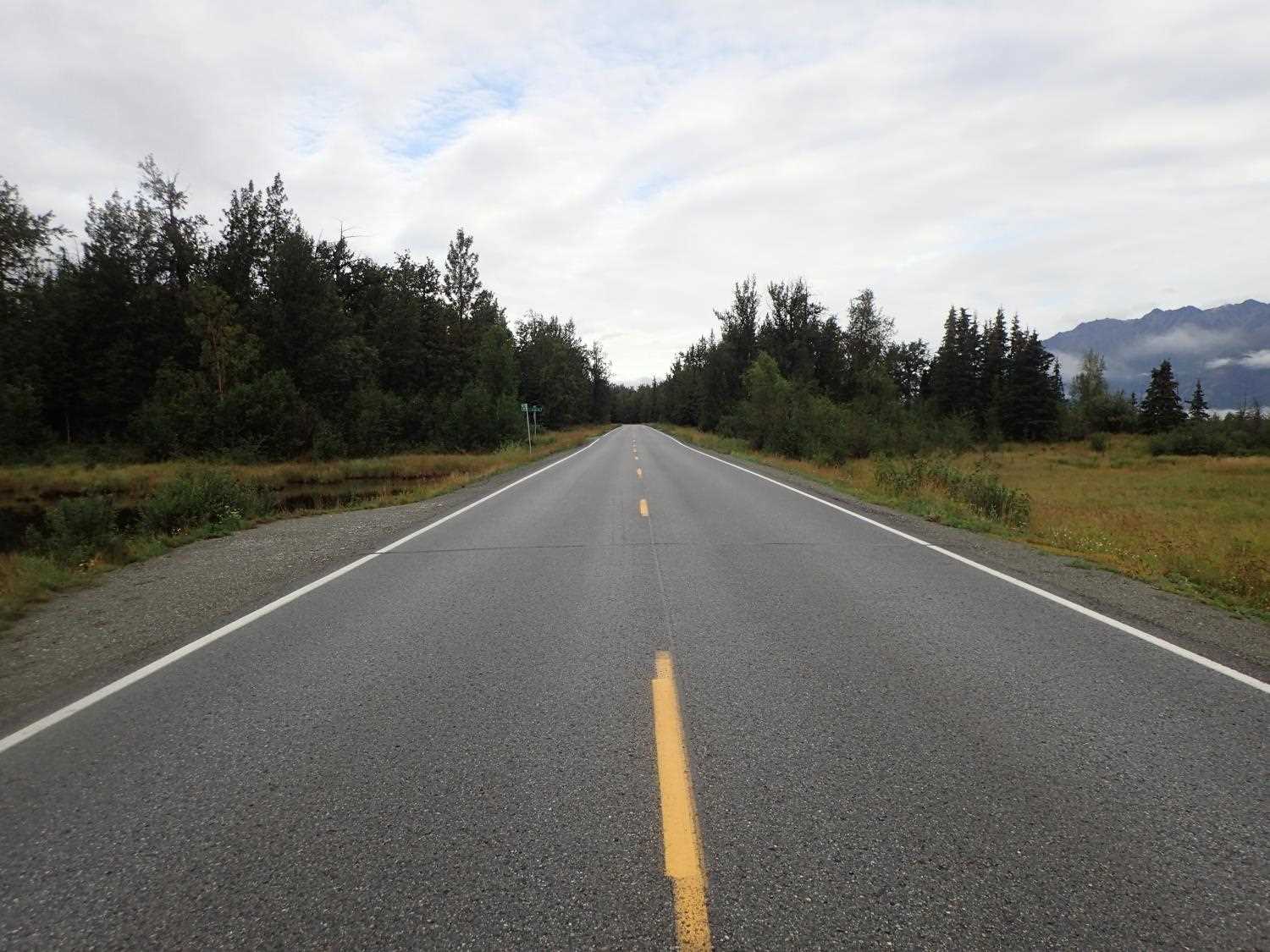
Road Name: Knik River Road
Datum: NAD83
Quad Name / ITM: Anchorage B-5
AWC Stream #:
Stream Name: Friday Creek Tributary
Elevation:
Site Comments: None
arrow to the right of the survey date below to choose a different report for this site.
Survey MSB23-MS003
Project Supervisor: Michael Mazzacavallo, Alaska Department of Fish and Game
— Anchorage, AK
Observers: Michael Mazzacavallo, Beth Evers, Kat Leavitt
Overall Fish Passage Rating:
Tidal: No
Backwatered: No
Step Pools: No
Construction Year:
Site Observations:
- Outfall height red
- Constriction ratio red
- Beaver Activity
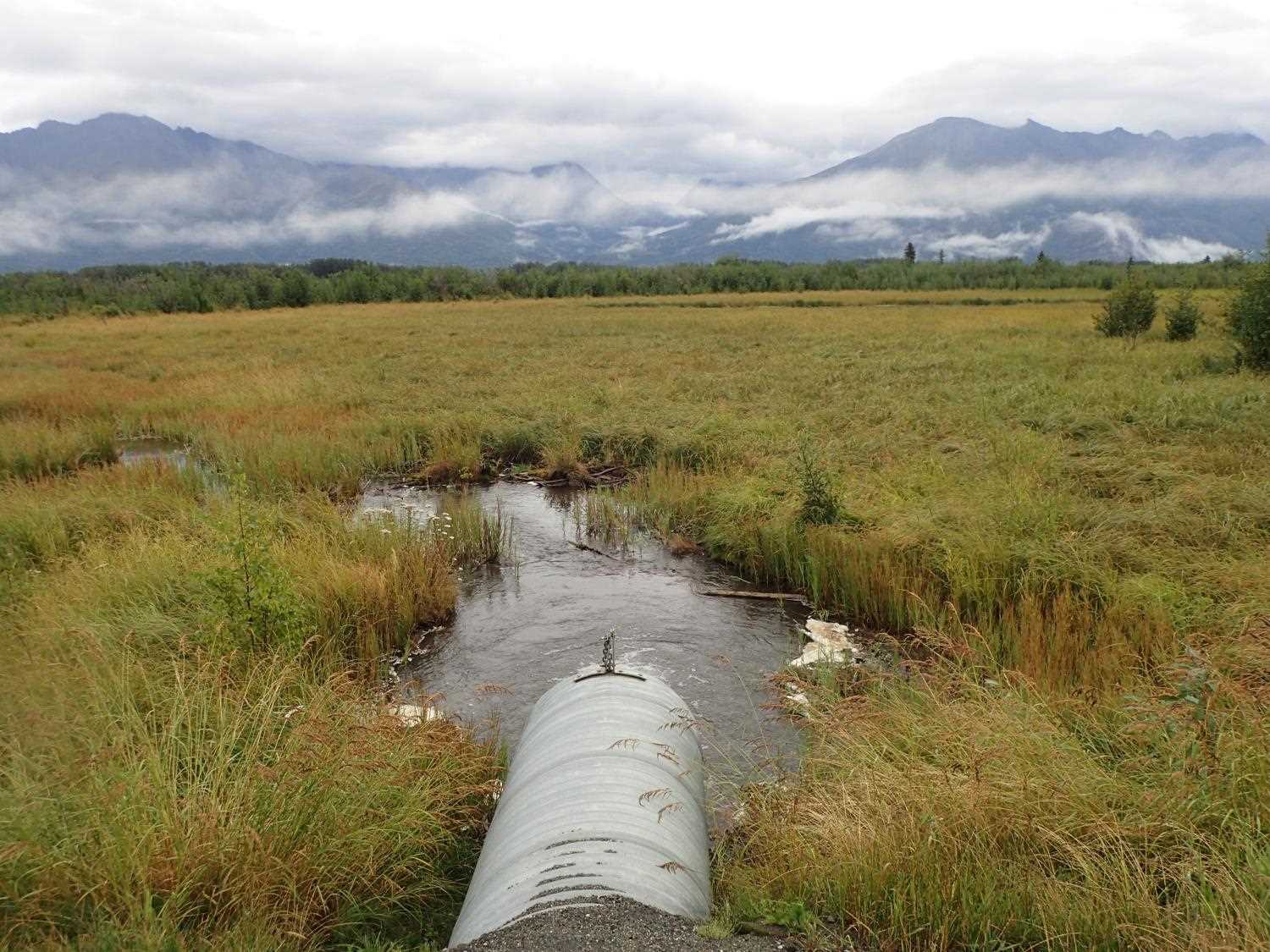
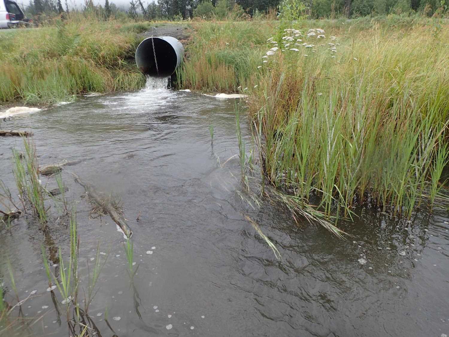
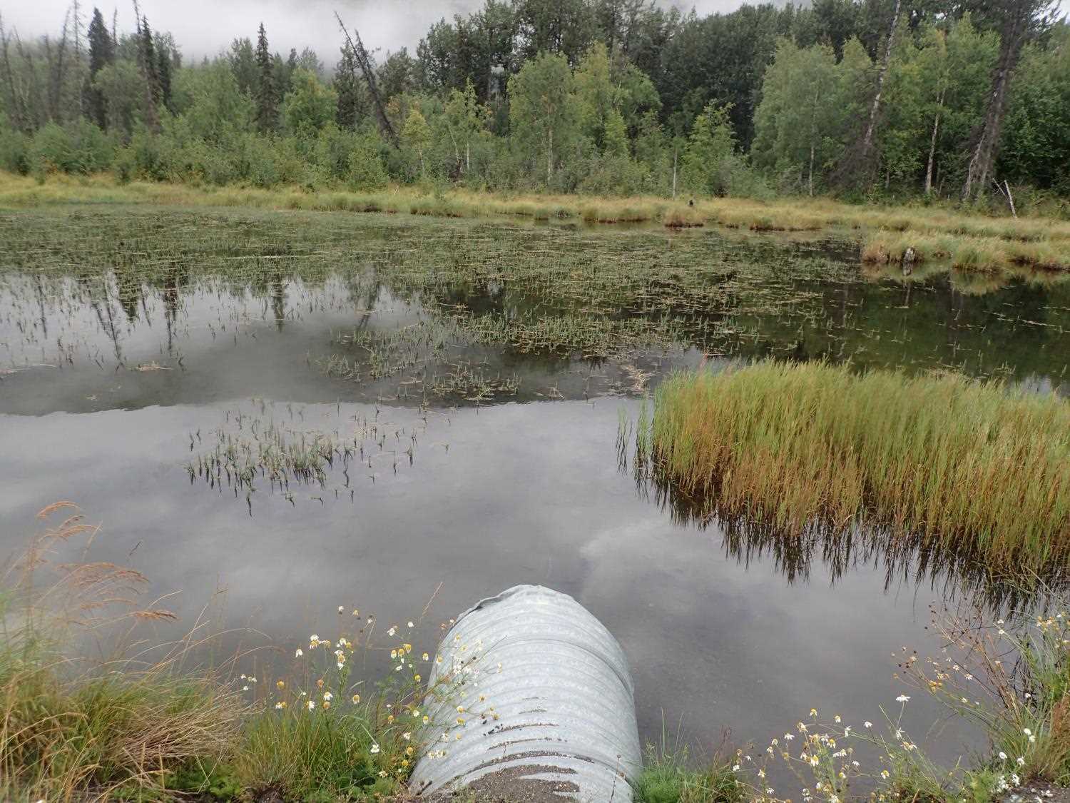
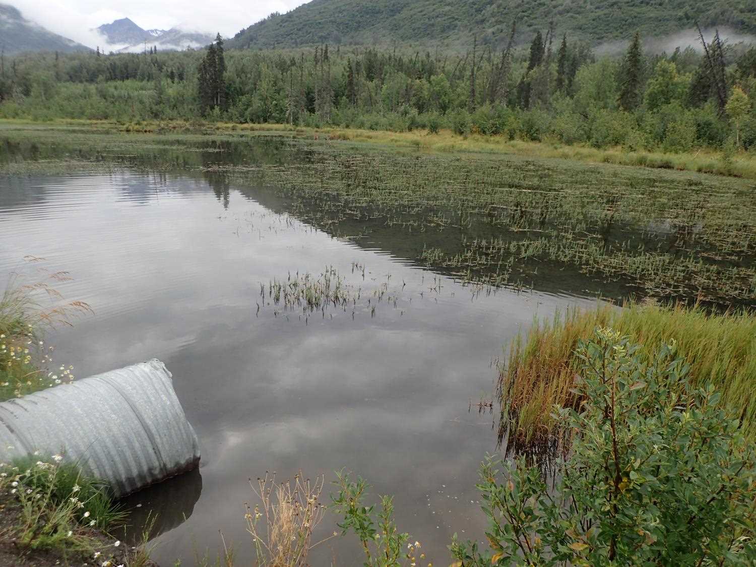
Comments: Inlet is connection from pond outflows to another pond; Local individual reports seeing fish in the past on the inlet side pond; evidence of historic beaver dams
Culvert Measurements
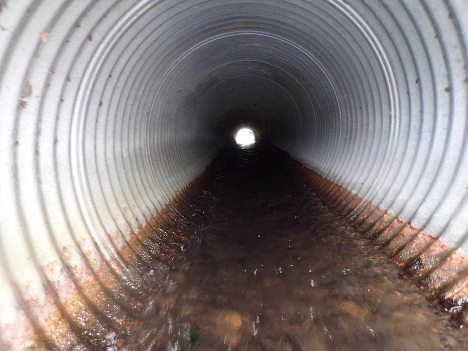
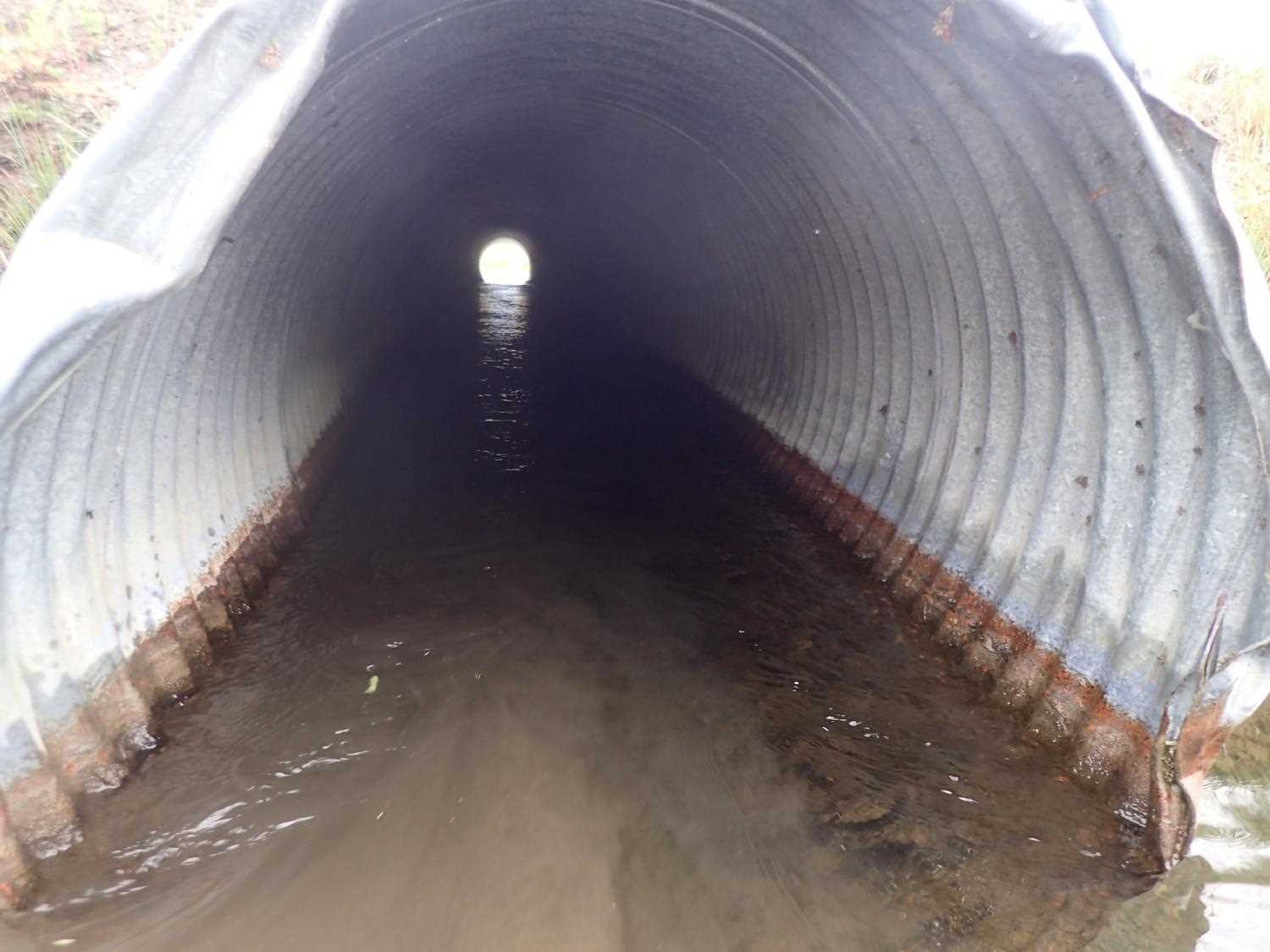
| ID: 1 | Structure Type: Circular pipe (Corrugated steel) | Fish Passage Rating: | ||||||||||||||||||||||||||||||||||||||||||
|
|
|
||||||||||||||||||||||||||||||||||||||||||
Comments: slight compound gradient at pipe inlet |
||||||||||||||||||||||||||||||||||||||||||||
Culvert Observations:
|
||||||||||||||||||||||||||||||||||||||||||||
Stream Measurements
|
|
| Stream Width Type | Distance From Crossing (ft) |
Stream Width (ft) |
|---|---|---|
| Downstream ordinary high water | 60.0 | 7.00 |
| Downstream ordinary high water | 118.0 | 4.80 |
| Downstream ordinary high water | 130.0 | 7.80 |
Elevations
| Locator ID | Culvert Number |
River Distance (ft)1 |
Distance From Crossing (ft)2 |
Relative Elevation (ft) |
|---|---|---|---|---|
| U/S Water Surface Elev (Pond WS) | 97.48 | |||
| Road Elev | 100.28 | |||
| D/S Thalweg | 0.00 | 93.00 | ||
| D/S Water Surface Elev | 0.00 | 94.08 | ||
| D/S Water Surface Elev | 78.00 | 94.12 | ||
| D/S Thalweg | 78.00 | 92.91 | ||
| D/S Water Surface Elev | 98.00 | 93.24 | ||
| D/S Thalweg | 98.00 | 94.15 | ||
| D/S Tailcrest or 1st Thalweg | 112.00 | 94.02 | ||
| Max Pool Depth | 126.00 | 91.55 | ||
| D/S Water Surface Elev | 129.00 | 94.35 | ||
| Outlet Invert | 131.00 | 94.93 | ||
| D/S Water Surface Elev | 131.00 | 95.36 | ||
| Outlet Culvert Top | 131.00 | 97.98 | ||
| Inlet Culvert Top | 189.83 | 98.64 | ||
| Inlet Culvert Invert | 190.43 | 95.58 | ||
| U/S Water Surface Elev | 190.43 | 96.38 |
Notes:
- River distance is measured continuously throughout the survey reach along the thalweg of the stream.
- Measured from each end of the crossing along the thalweg of the stream.
Fish Sampling Efforts
No fish sampling occurred during this survey.
Fish Observations
No fish observations occurred during this survey.
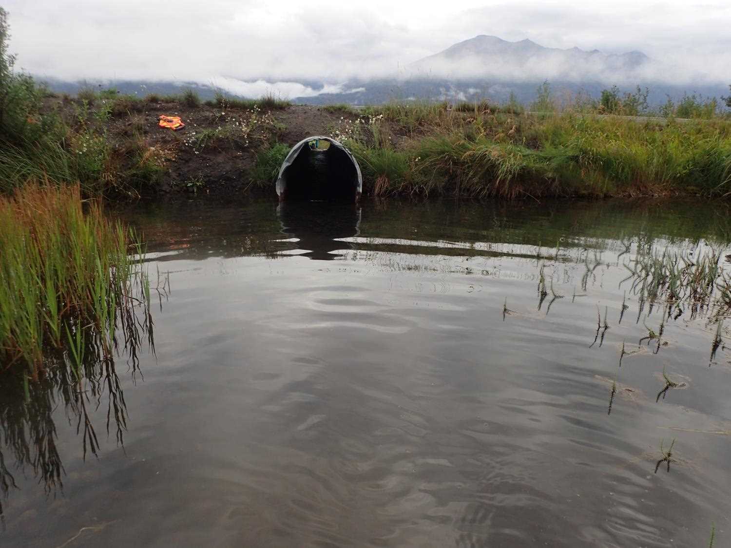
Photos

Questions or comments about this report can be directed to dfg.dsf.webmaster@alaska.gov