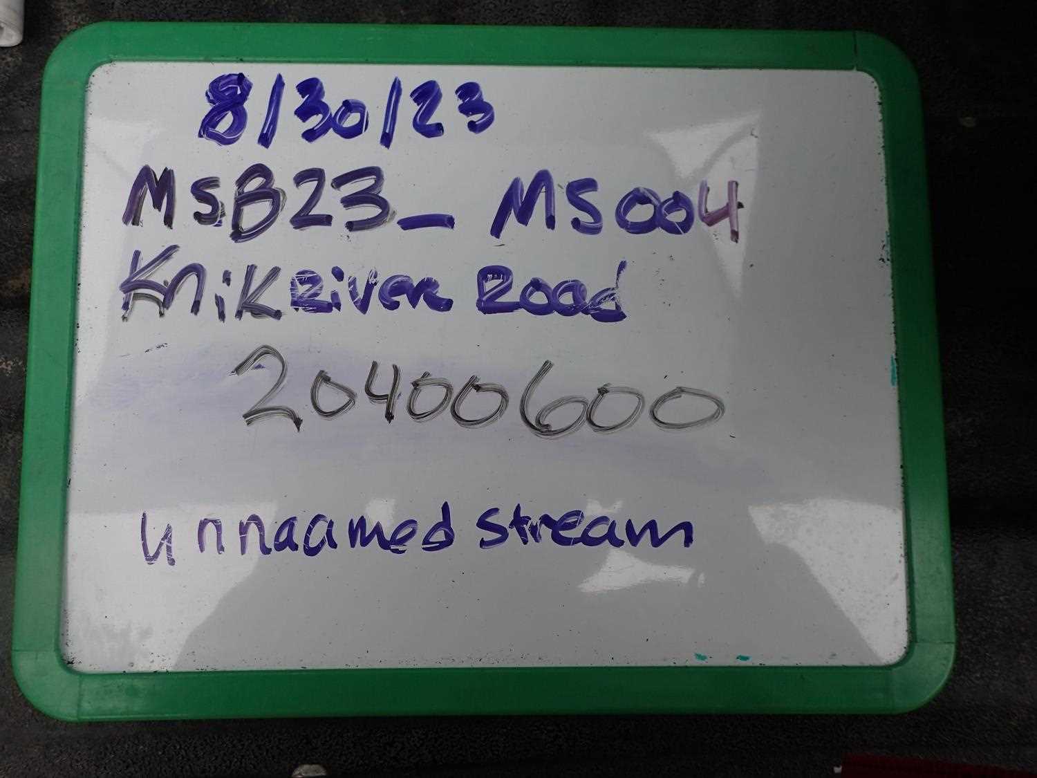
Fish Passage Site 20400600
Coordinates (dec. deg.): 61.46291°, -148.86023°
Legal Description: S016N003E23
Region: South Central
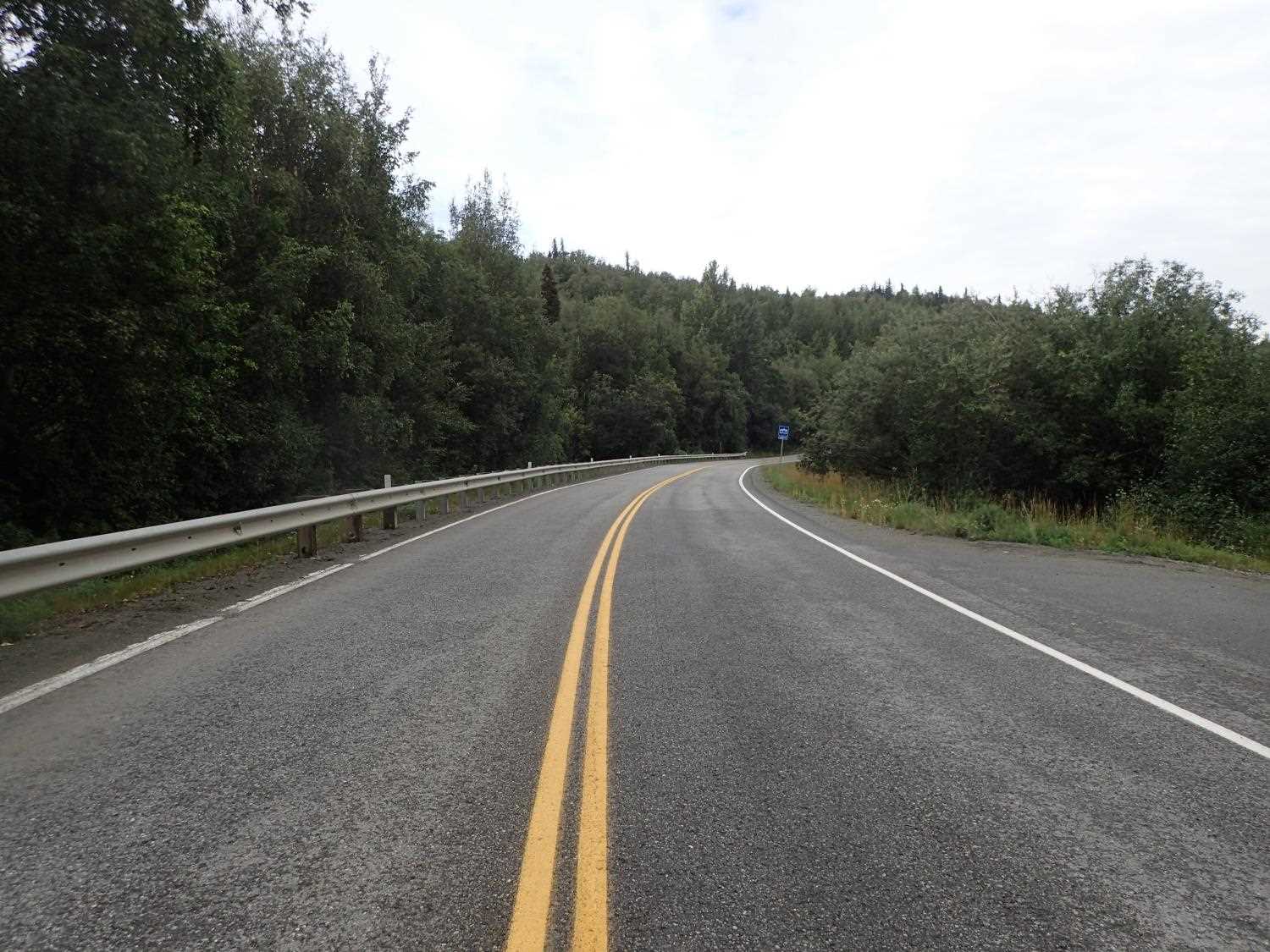
Road Name: Knik River Road
Datum: NAD83
Quad Name / ITM: Anchorage B-5
AWC Stream #: 247-50-10200-2120-3016
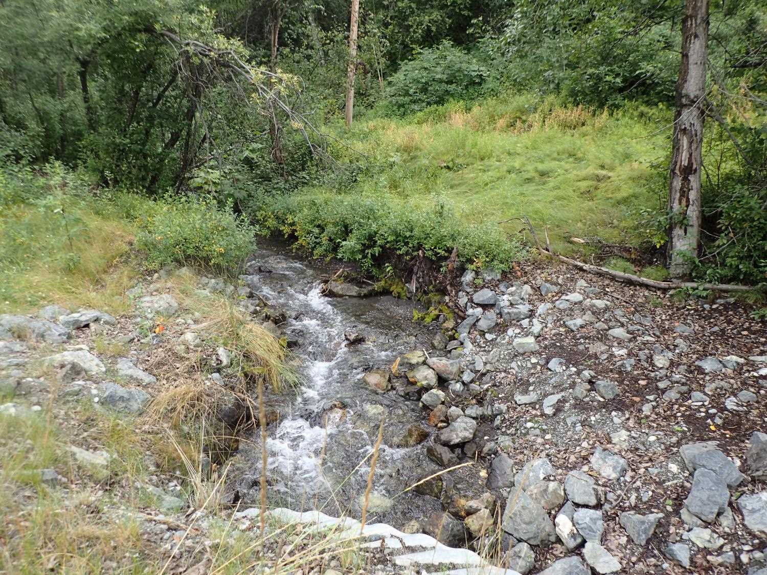
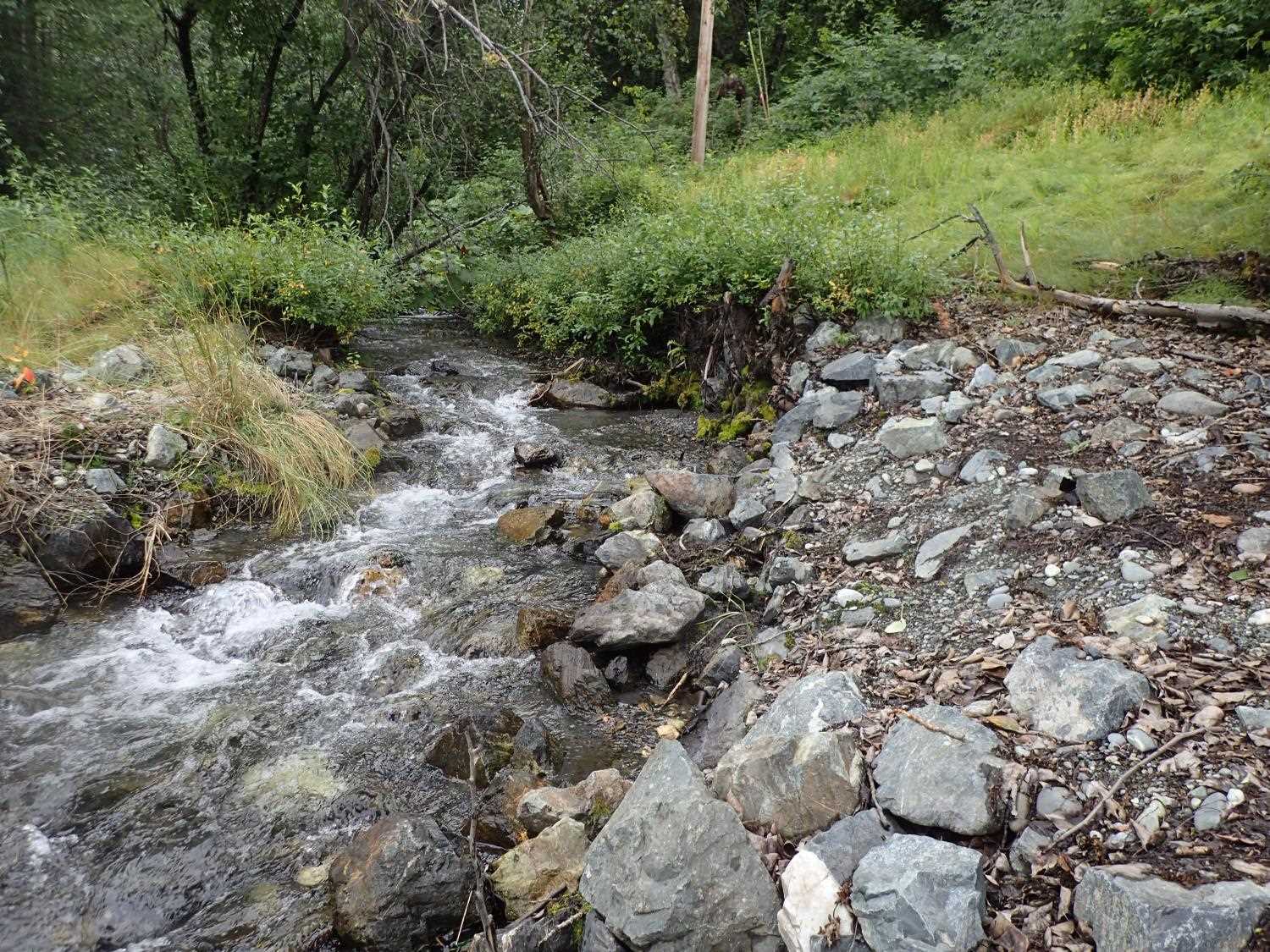
Stream Name: Doc's Creek
Elevation:
Site Comments: None
arrow to the right of the survey date below to choose a different report for this site.
Survey MSB23-MS004
Project Supervisor: Michael Mazzacavallo, Alaska Department of Fish and Game
— Anchorage, AK
Observers: Michael Mazzacavallo, Kat Leavitt, Beth Evers, Michael Mazzacavallo
Overall Fish Passage Rating:
Tidal: No
Backwatered: No
Step Pools: No
Construction Year: 2019
Site Observations:
- Woody Debris
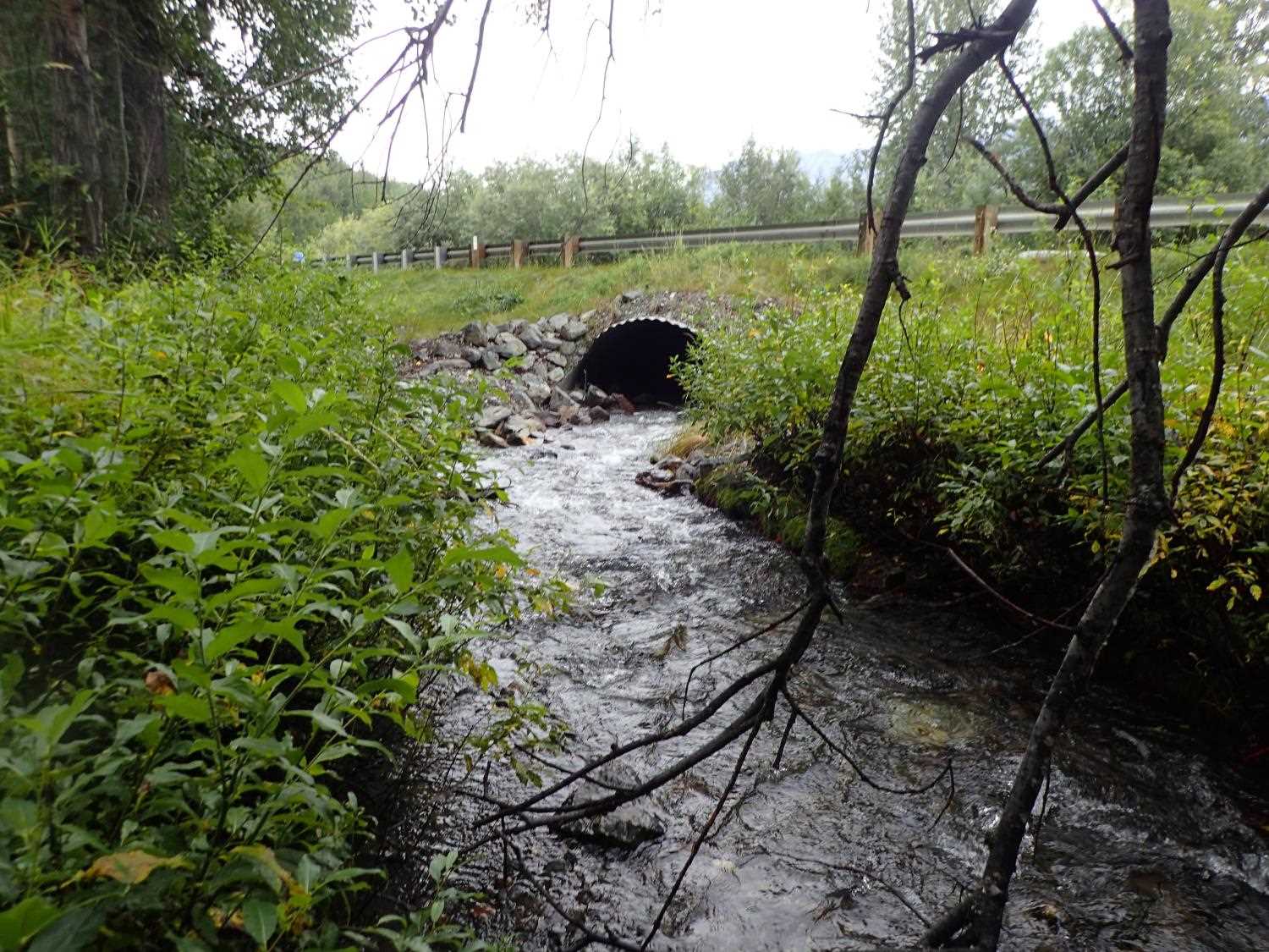
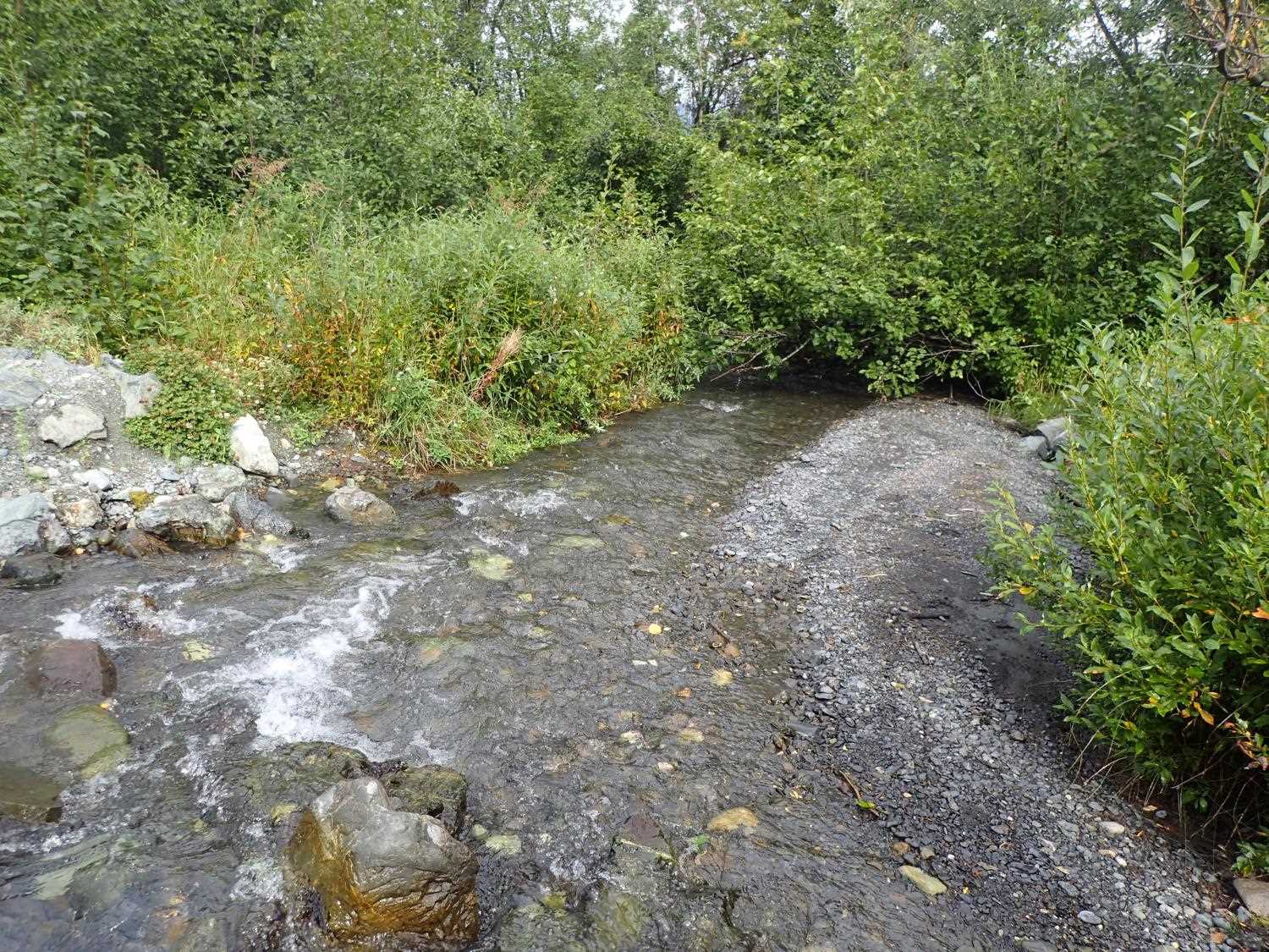
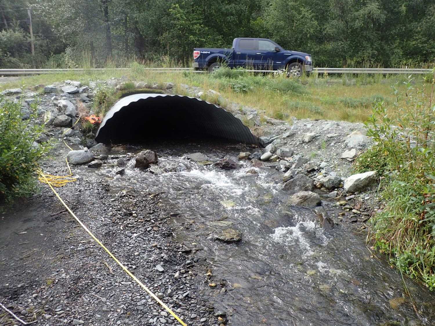
Comments: Constructed in 2019, bioengineering in good condition. Appears sedimetation could be occuring at the outlet, constructed banks burried under sediment.
Culvert Measurements
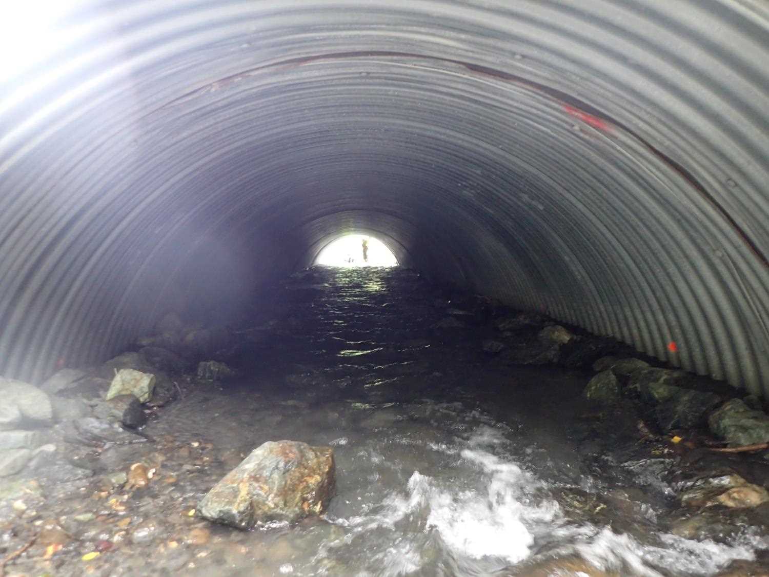
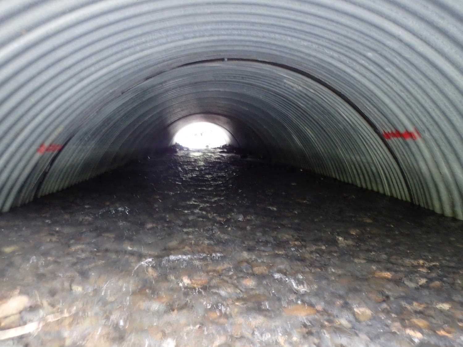
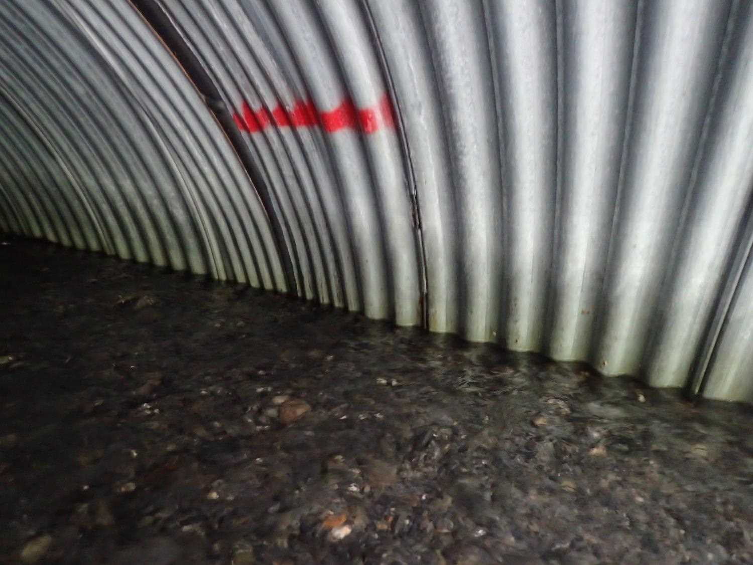
| ID: 1 | Structure Type: Pipe-arch (Corrugated steel) | Fish Passage Rating: | |||||||||||||||||||||||||||||||||||||||||
|
|
|
|||||||||||||||||||||||||||||||||||||||||
Comments: Substrate depth: multiple measurements taken, 0.2, 1.52, 2.31, and 1.25. Embedded depth unknown, review design specs. Mitered culvert measured -2.6ft from end of outlet and -5.4ft from end of inlet. Total length of pipe for gradient was 75.25ft. |
|||||||||||||||||||||||||||||||||||||||||||
Culvert Observations:
|
|||||||||||||||||||||||||||||||||||||||||||
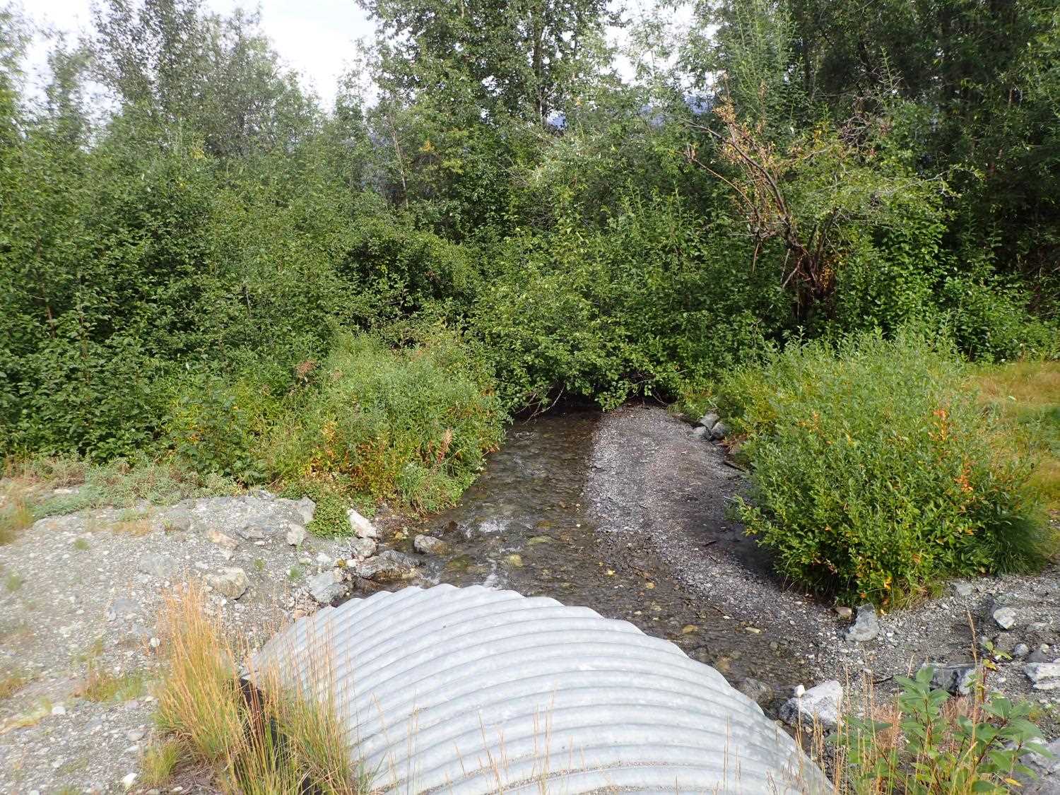
Stream Measurements
|
|
| Stream Width Type | Distance From Crossing (ft) |
Stream Width (ft) |
|---|---|---|
| Upstream ordinary high water | 42.0 | 9.30 |
| Upstream ordinary high water | 117.0 | 5.30 |
| Upstream ordinary high water | 140.0 | 9.40 |
Elevations
| Locator ID | Culvert Number |
River Distance (ft)1 |
Distance From Crossing (ft)2 |
Relative Elevation (ft) |
|---|---|---|---|---|
| Road Elev | 100.72 | |||
| D/S Thalweg | 0.00 | 91.66 | ||
| D/S Water Surface Elev | 0.00 | 92.06 | ||
| D/S Thalweg | 37.00 | 92.46 | ||
| D/S Water Surface Elev | 37.00 | 92.88 | ||
| D/S Water Surface Elev | 83.00 | 93.40 | ||
| D/S Thalweg | 83.00 | 92.75 | ||
| D/S Thalweg | 94.00 | 93.63 | ||
| D/S Water Surface Elev | 94.00 | 94.17 | ||
| D/S Water Surface Elev (Outlet WS) | 100.00 | 94.18 | ||
| Outlet Culvert Top | 100.00 | 98.01 | ||
| Outlet Invert | 100.00 | 93.71 | ||
| Inlet Culvert Top | 177.25 | 100.12 | ||
| Inlet Culvert Invert | 177.25 | 94.65 | ||
| U/S Water Surface Elev (Inlet WS) | 177.25 | 95.41 | ||
| U/S Thalweg | 208.25 | 97.10 | ||
| U/S Water Surface Elev | 208.25 | 97.50 |
Notes:
- River distance is measured continuously throughout the survey reach along the thalweg of the stream.
- Measured from each end of the crossing along the thalweg of the stream.
Fish Sampling Efforts
No fish sampling occurred during this survey.
Fish Observations
No fish observations occurred during this survey.
Photos
Questions or comments about this report can be directed to dfg.dsf.webmaster@alaska.gov