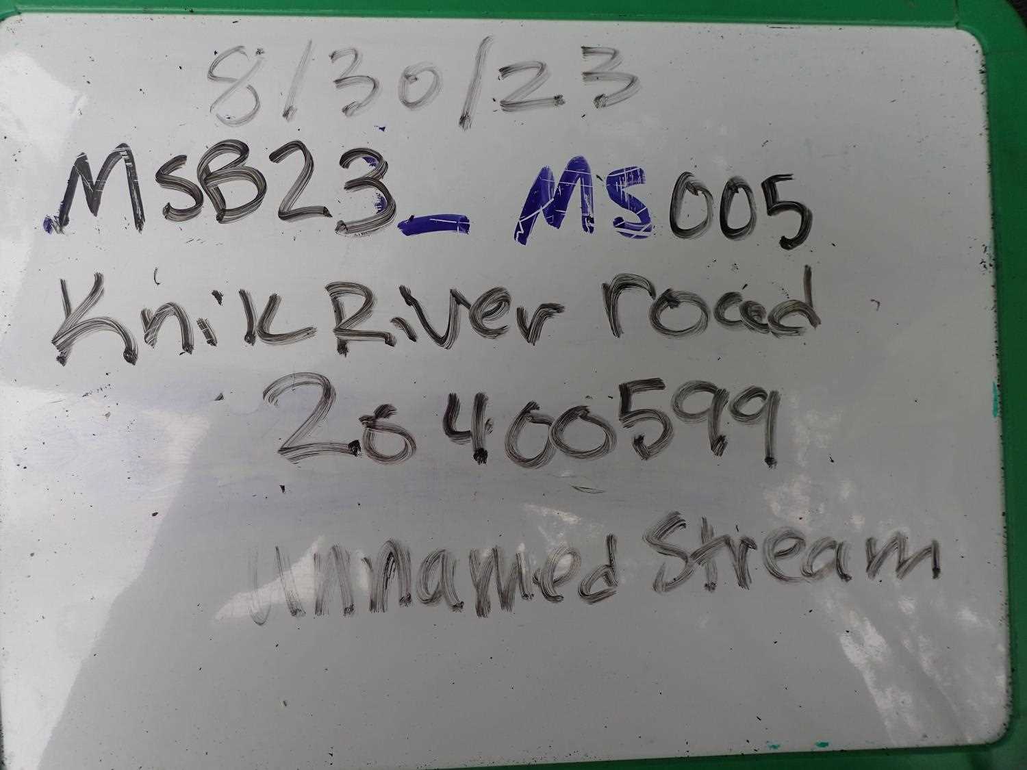
Fish Passage Site 20400599
Coordinates (dec. deg.): 61.46902°, -148.86882°
Legal Description: S016N003E23
Region: South Central
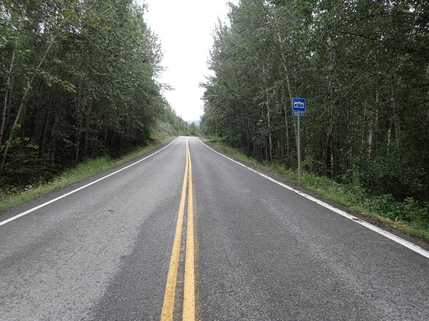
Road Name: Knik River Road
Datum: NAD83
Quad Name / ITM: Anchorage B-5
AWC Stream #: 247-50-10200-2120-3006
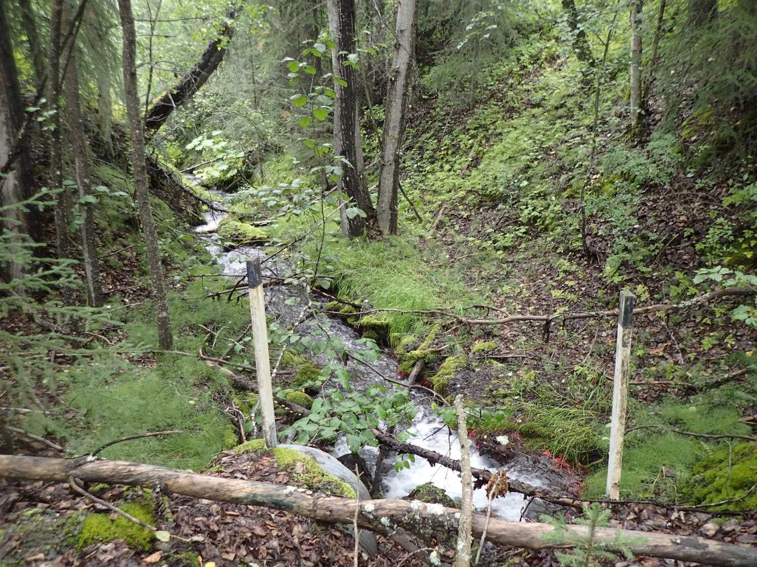
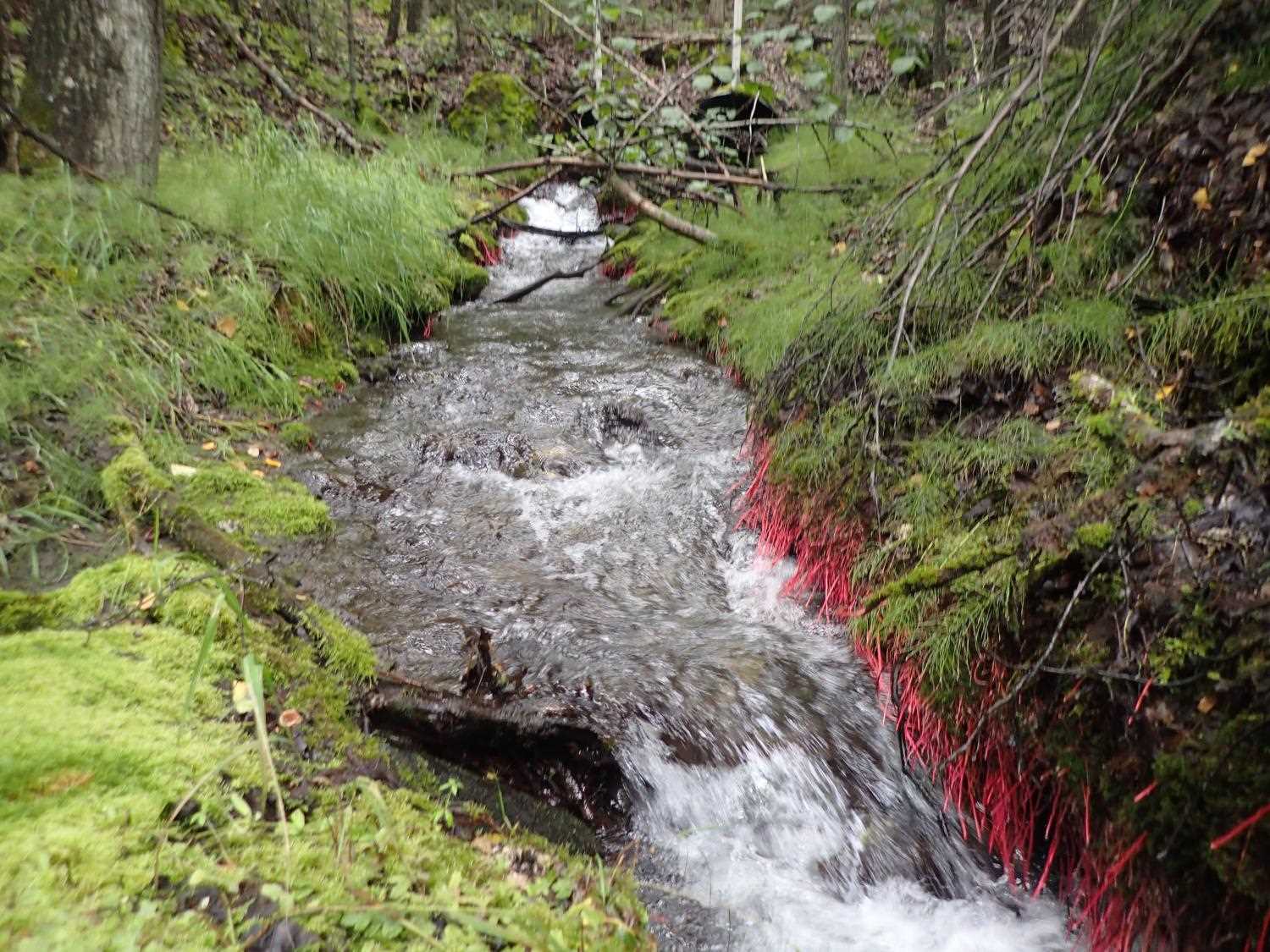
Stream Name: Unnamed
Elevation:
Site Comments: None
arrow to the right of the survey date below to choose a different report for this site.
Survey MSB23-MS005
Project Supervisor: Michael Mazzacavallo, Alaska Department of Fish and Game
— Anchorage, AK
Observers: Michael Mazzacavallo, Kat Leavitt, Beth Evers
Overall Fish Passage Rating:
Tidal: No
Backwatered: No
Step Pools: No
Construction Year:
Site Observations:
- Inlet perch
- Constriction ratio gray
- Culvert gradient gray
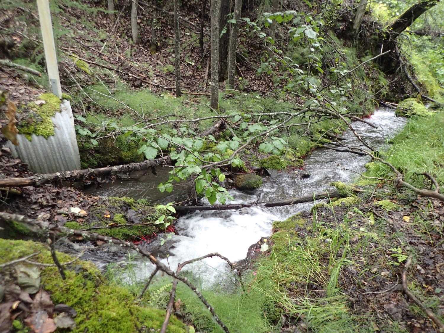
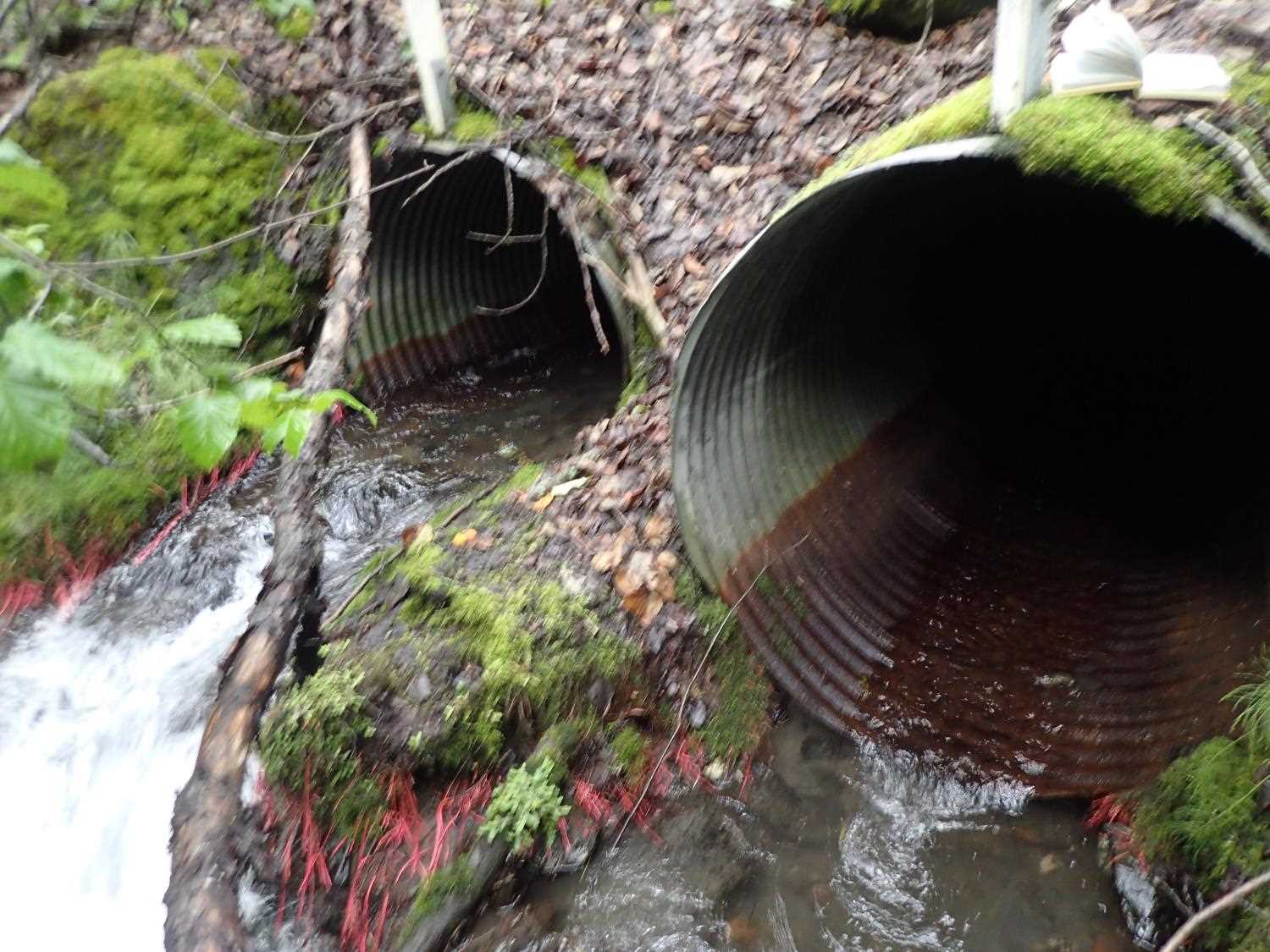
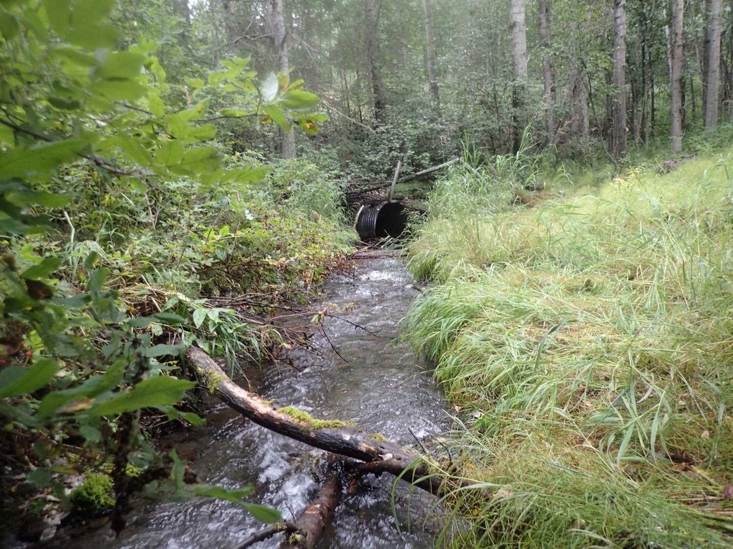
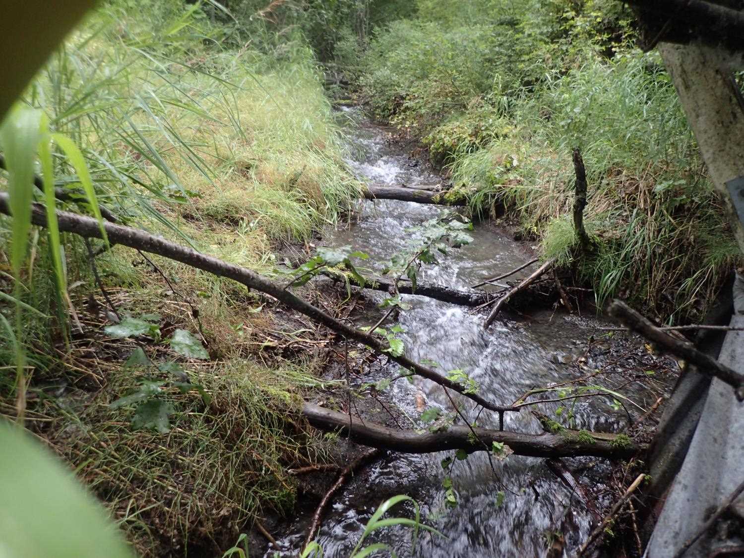
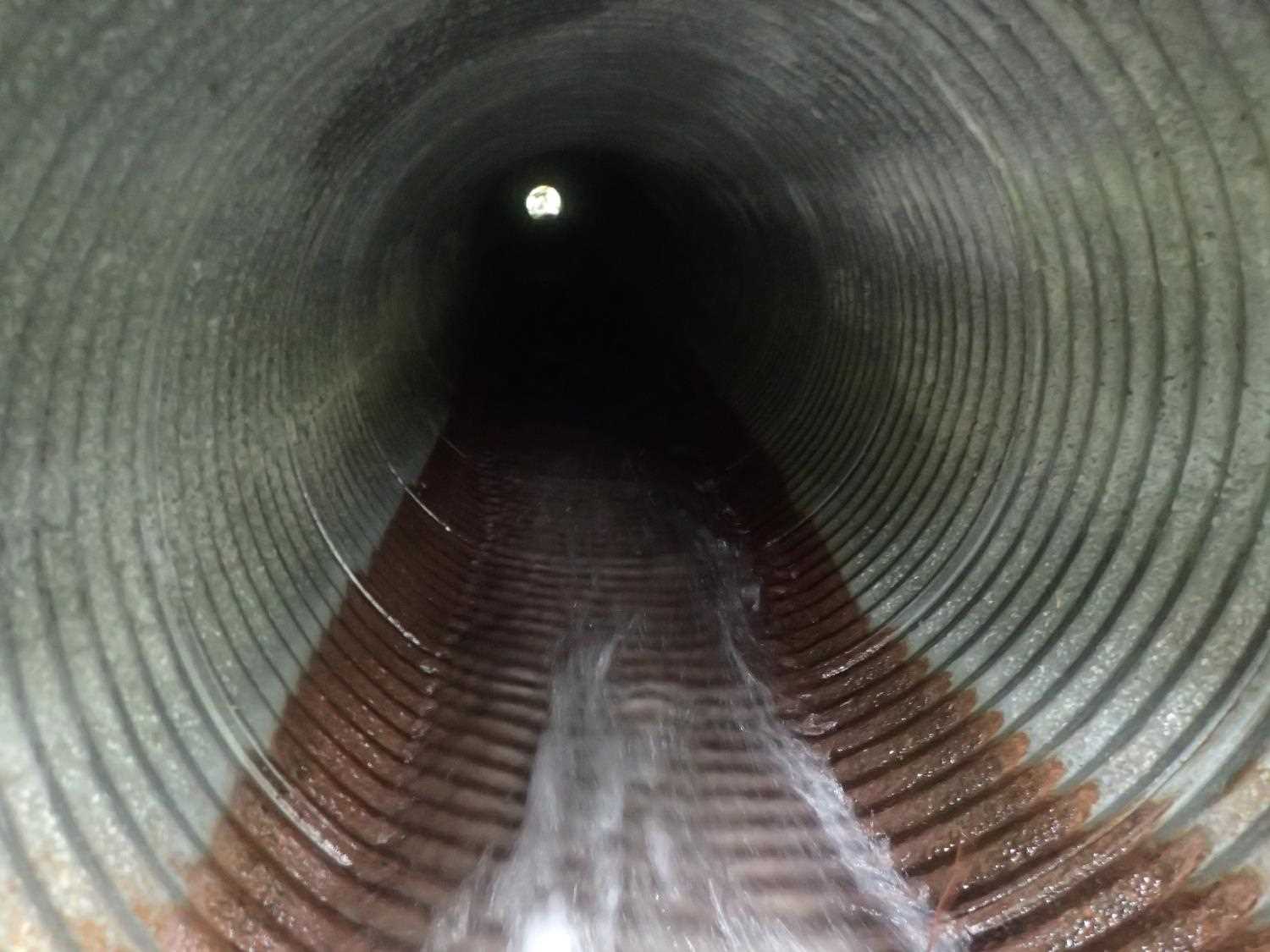
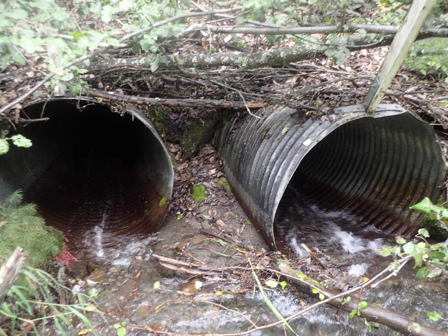
Comments: Inlet perched at both culverts #1 and #2. Culvert #2 outlet outfall appears to be cascade over boulder.
Culvert Measurements
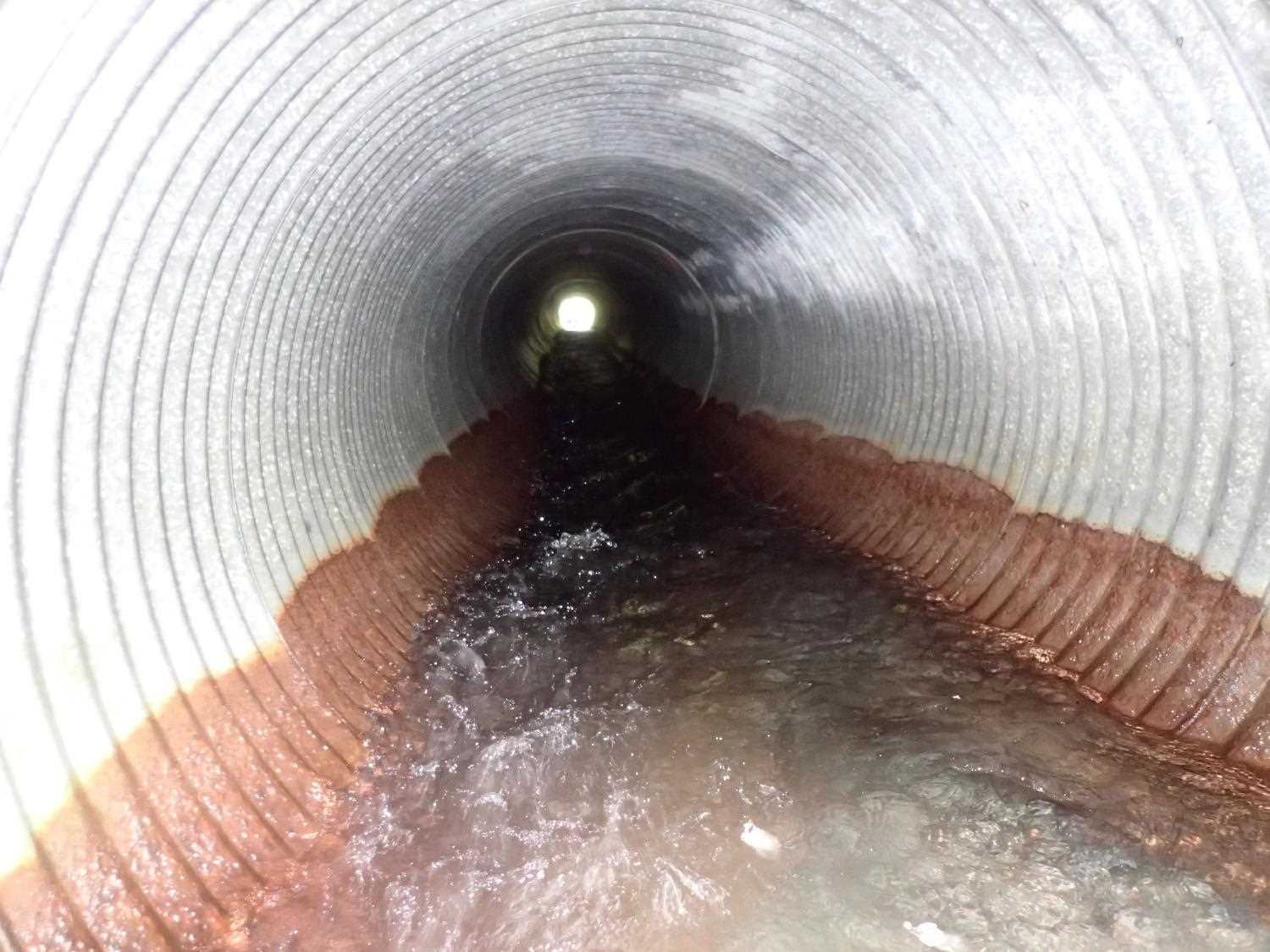
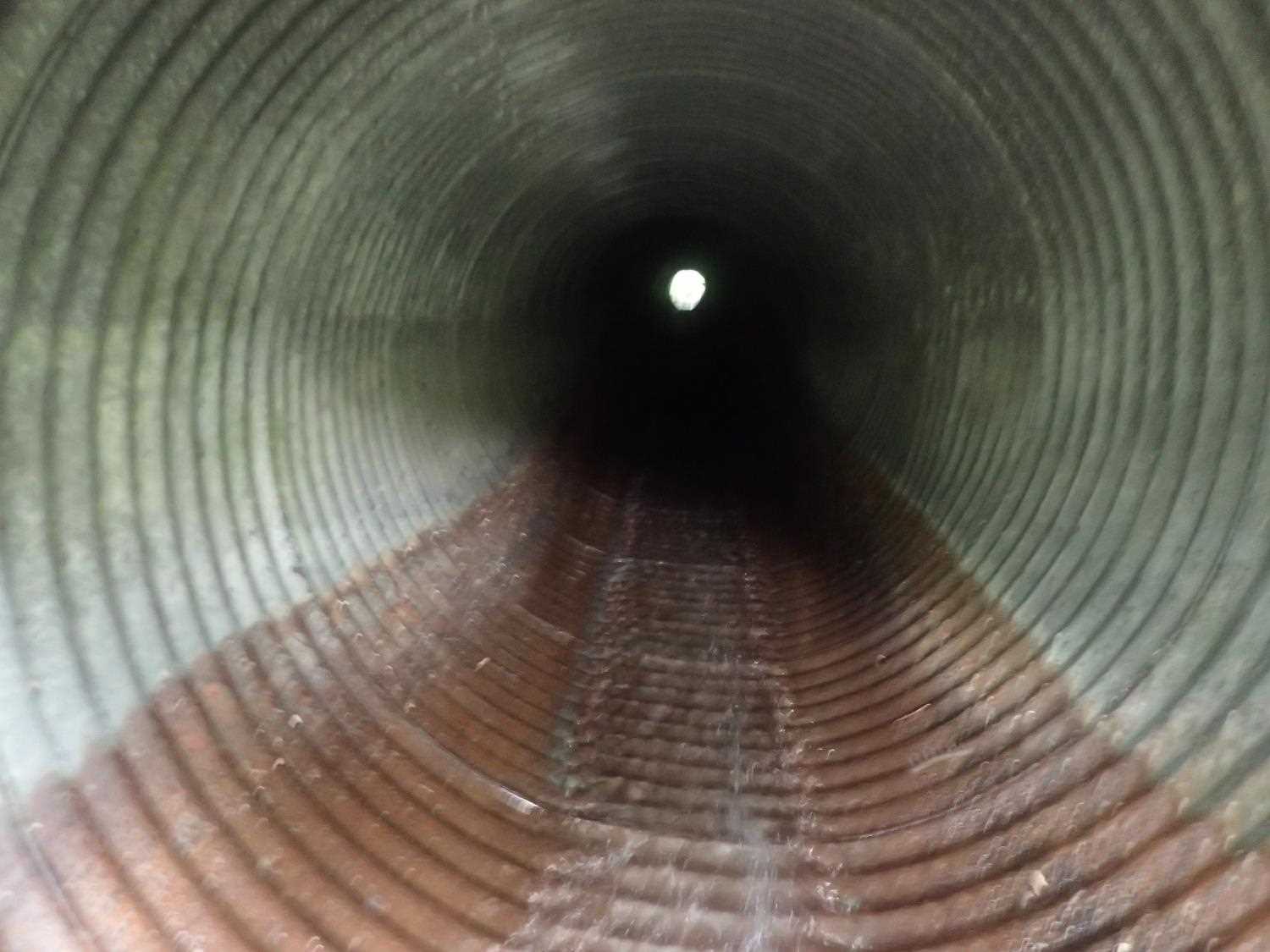
| ID: 1 | Structure Type: Circular pipe (Corrugated steel) | Fish Passage Rating: | ||||||||||||||||||||||||||||||||||||||||||
|
|
|
||||||||||||||||||||||||||||||||||||||||||
Comments: Inlet perched |
||||||||||||||||||||||||||||||||||||||||||||
Culvert Observations:
|
||||||||||||||||||||||||||||||||||||||||||||
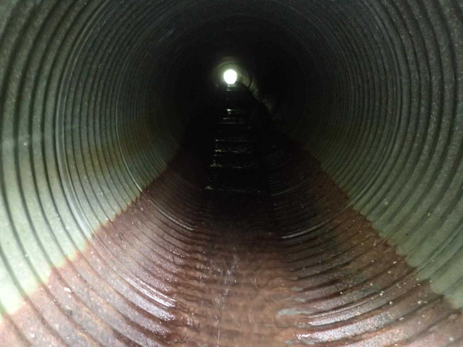
| ID: 2 | Structure Type: Circular pipe (Corrugated steel) | Fish Passage Rating: | |||||||||||||||||||||||||||||||||||||||||
|
|
|
|||||||||||||||||||||||||||||||||||||||||
Comments: Inlet perched |
|||||||||||||||||||||||||||||||||||||||||||
Culvert Observations:
|
|||||||||||||||||||||||||||||||||||||||||||
Stream Measurements
|
|
| Stream Width Type | Distance From Crossing (ft) |
Stream Width (ft) |
|---|---|---|
| Upstream ordinary high water | 29.0 | 5.90 |
| Upstream ordinary high water | 54.0 | 6.50 |
| Upstream ordinary high water | 96.0 | 10.80 |
| Upstream ordinary high water | 133.0 | 7.60 |
Elevations
| Locator ID | Culvert Number |
River Distance (ft)1 |
Distance From Crossing (ft)2 |
Relative Elevation (ft) |
|---|---|---|---|---|
| D/S Thalweg | 2.00 | 67.48 | ||
| D/S Water Surface Elev | 2.00 | 68.21 | ||
| D/S Thalweg | 8.00 | 68.90 | ||
| D/S Water Surface Elev | 8.00 | 69.07 | ||
| D/S Thalweg | 44.30 | 71.35 | ||
| D/S Water Surface Elev | 44.30 | 71.78 | ||
| D/S Thalweg | 61.50 | 72.03 | ||
| D/S Water Surface Elev | 61.50 | 73.22 | ||
| D/S Water Surface Elev | 65.50 | 73.79 | ||
| D/S Thalweg | 65.50 | 73.20 | ||
| D/S Thalweg | 77.90 | 73.71 | ||
| D/S Water Surface Elev | 77.90 | 74.39 | ||
| D/S Water Surface Elev | 85.00 | 74.40 | ||
| D/S Thalweg | 85.00 | 73.91 | ||
| D/S Water Surface Elev | 1 | 90.70 | 75.05 | |
| D/S Thalweg | 1 | 90.70 | 74.68 | |
| D/S Water Surface Elev | 2 | 93.00 | 74.81 | |
| D/S Thalweg | 2 | 93.00 | 74.04 | |
| Max Pool Depth | 1 | 94.00 | 74.59 | |
| Outlet Pool Water Elev | 1 | 94.00 | 75.31 | |
| D/S Water Surface Elev | 1 | 100.00 | 75.40 | |
| Outlet Invert | 2 | 100.00 | 75.95 | |
| D/S Water Surface Elev | 2 | 100.00 | 77.12 | |
| Outlet Culvert Top | 2 | 100.00 | 79.37 | |
| Outlet Culvert Top | 1 | 100.00 | 79.46 | |
| Outlet Invert | 1 | 100.00 | 74.29 | |
| Inlet Culvert Invert | 2 | 222.00 | 82.15 | |
| Inlet Culvert Invert | 1 | 222.00 | 82.44 | |
| U/S Water Surface Elev | 1 | 222.00 | 82.58 | |
| U/S Water Surface Elev | 2 | 222.00 | 82.81 | |
| Inlet Culvert Top | 2 | 222.00 | 86.15 | |
| Inlet Culvert Top | 1 | 222.00 | 86.45 | |
| U/S Thalweg | 2 | 225.00 | 82.76 | |
| U/S Thalweg | 1 | 225.00 | 82.94 | |
| U/S Water Surface Elev | 1 | 225.00 | 83.06 | |
| U/S Water Surface Elev | 2 | 225.00 | 83.11 | |
| U/S Water Surface Elev | 230.50 | 83.30 | ||
| U/S Thalweg | 230.50 | 82.90 | ||
| U/S Thalweg | 237.00 | 83.40 | ||
| U/S Water Surface Elev | 237.00 | 83.69 | ||
| U/S Thalweg | 256.00 | 84.11 | ||
| U/S Water Surface Elev | 256.00 | 84.48 | ||
| U/S Water Surface Elev | 266.00 | 84.81 | ||
| U/S Thalweg | 266.00 | 84.42 | ||
| U/S Thalweg | 278.60 | 85.38 | ||
| U/S Water Surface Elev | 278.60 | 85.75 | ||
| U/S Thalweg | 299.00 | 85.97 | ||
| U/S Water Surface Elev | 299.00 | 86.34 |
Notes:
- River distance is measured continuously throughout the survey reach along the thalweg of the stream.
- Measured from each end of the crossing along the thalweg of the stream.
Fish Sampling Efforts
No fish sampling occurred during this survey.
Fish Observations
No fish observations occurred during this survey.
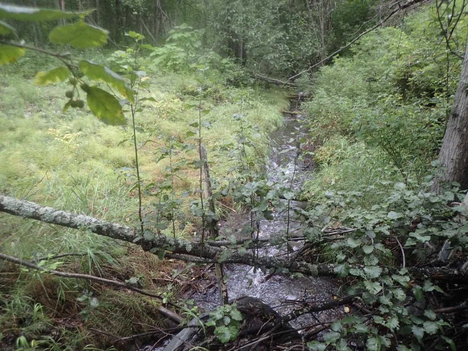
Photos
Questions or comments about this report can be directed to dfg.dsf.webmaster@alaska.gov