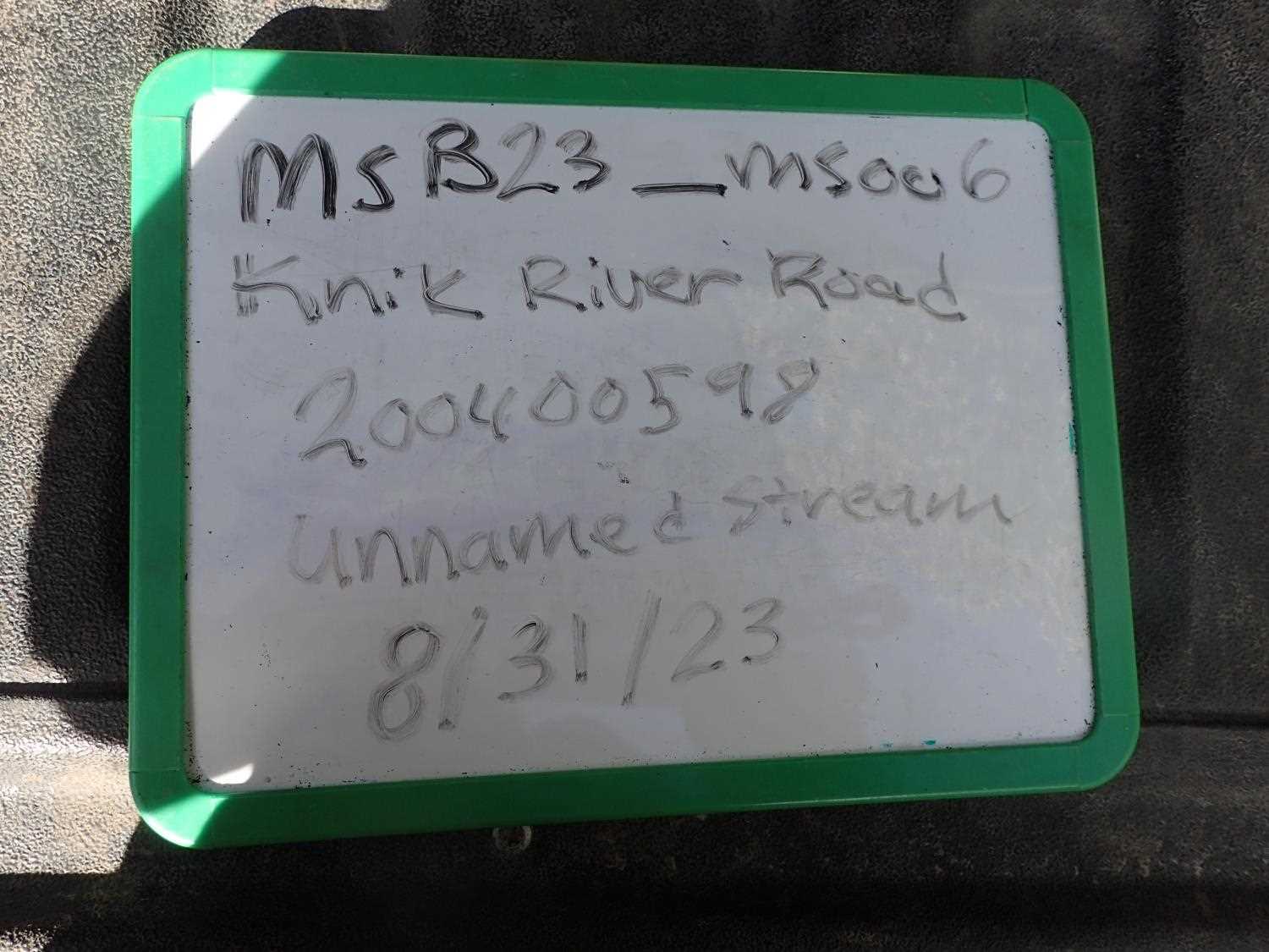
Fish Passage Site 20400598
Coordinates (dec. deg.): 61.47972°, -148.88916°
Legal Description: S016N003E15
Region: South Central
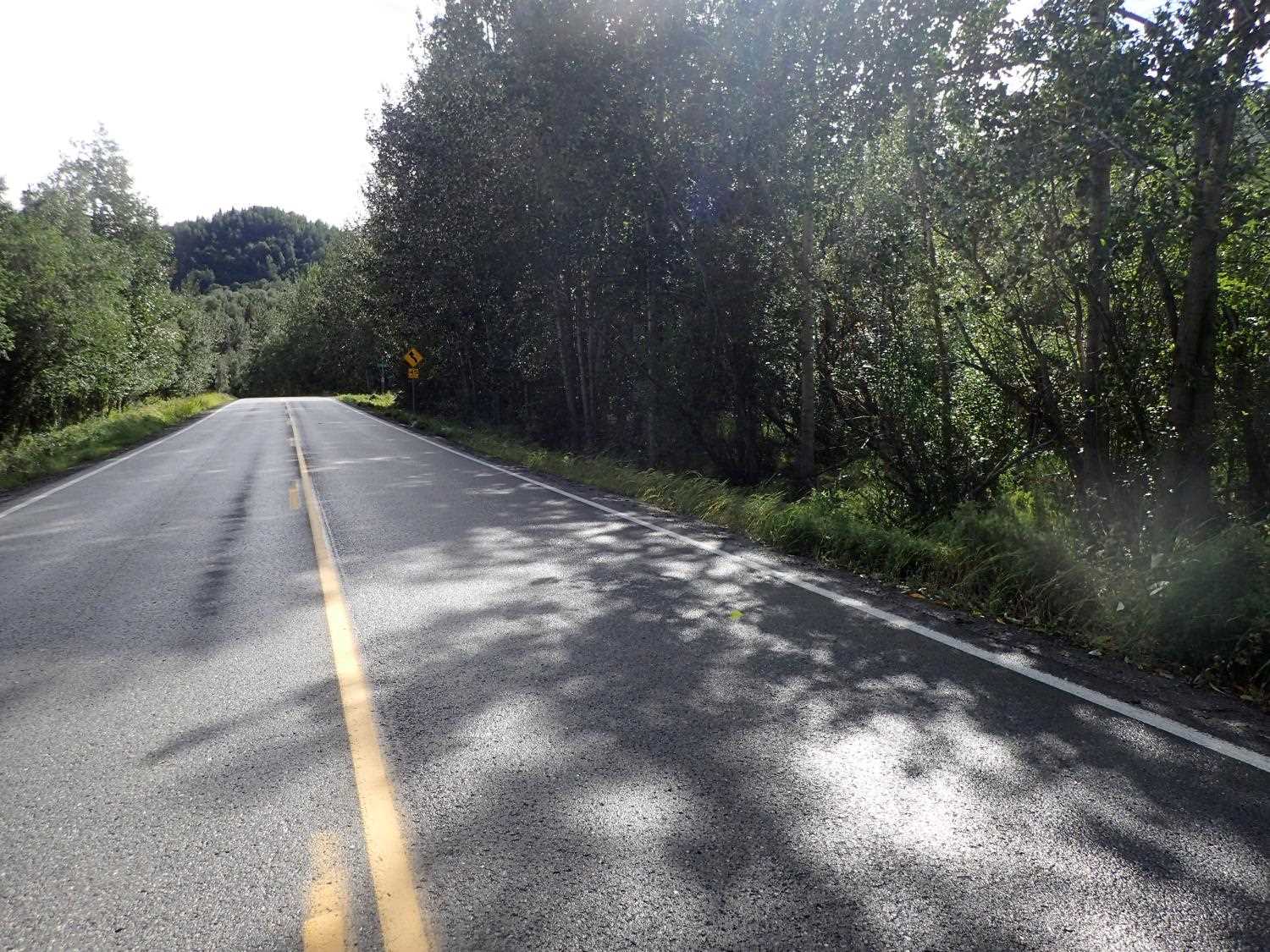
Road Name: Knik River Road
Datum: NAD83
Quad Name / ITM: Anchorage B-6
AWC Stream #:
Stream Name:
Elevation:
Site Comments: None
arrow to the right of the survey date below to choose a different report for this site.
Survey MSB23-MS006
Project Supervisor: Michael Mazzacavallo, Alaska Department of Fish and Game
— Anchorage, AK
Observers: Michael Mazzacavallo, Beth Evers, Kat Leavitt
Overall Fish Passage Rating:
Tidal:
Backwatered:
Step Pools:
Construction Year:
Site Observations:
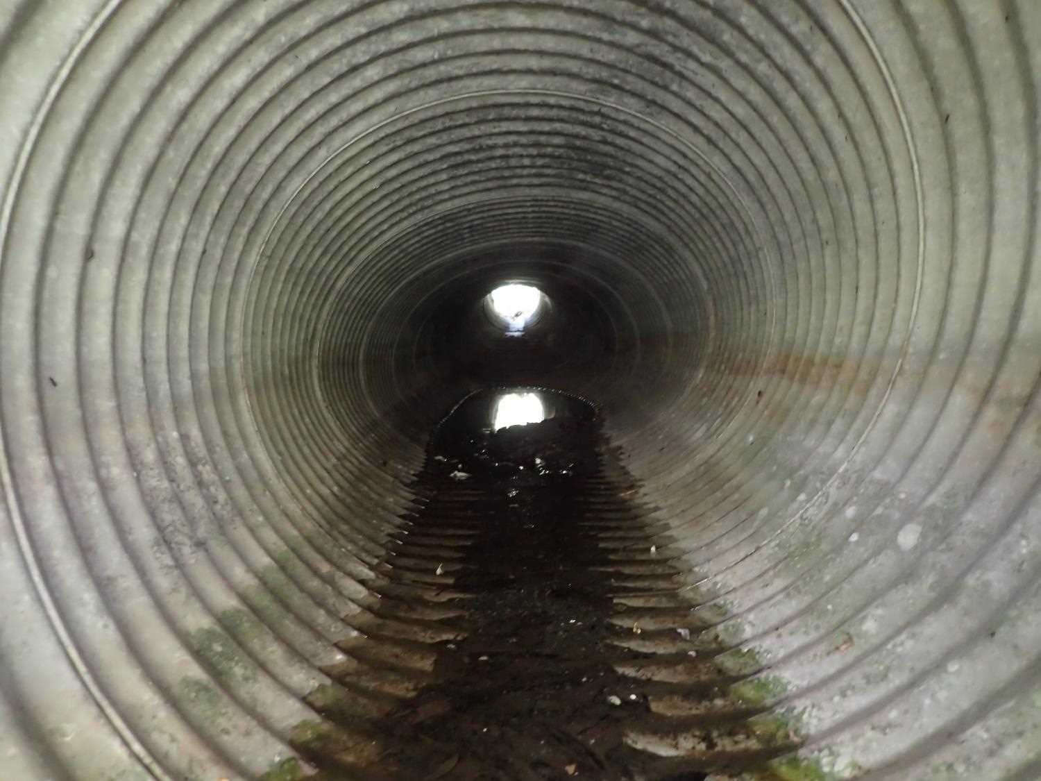
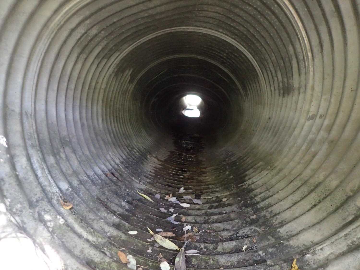
- Culvert gradient red
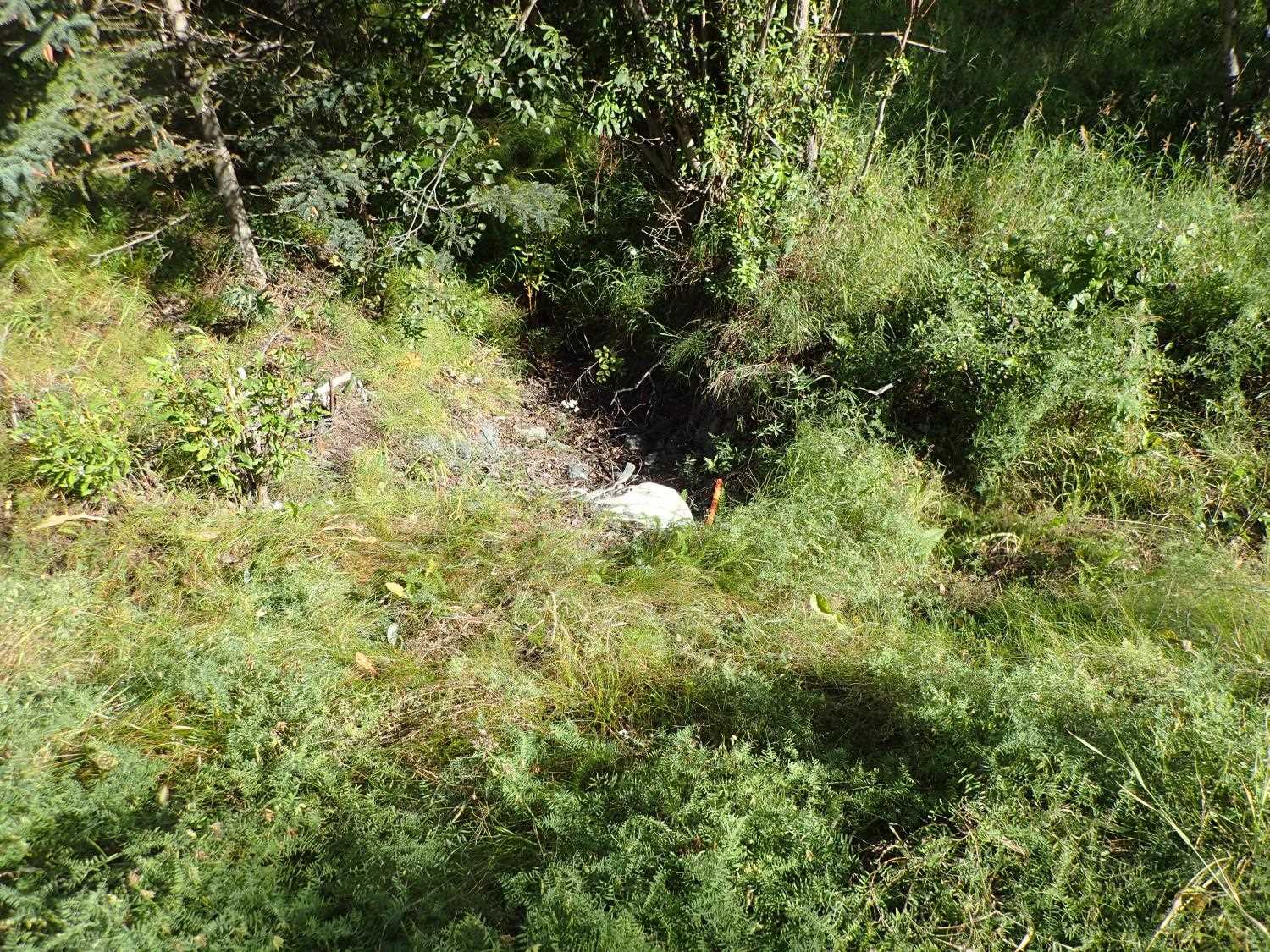
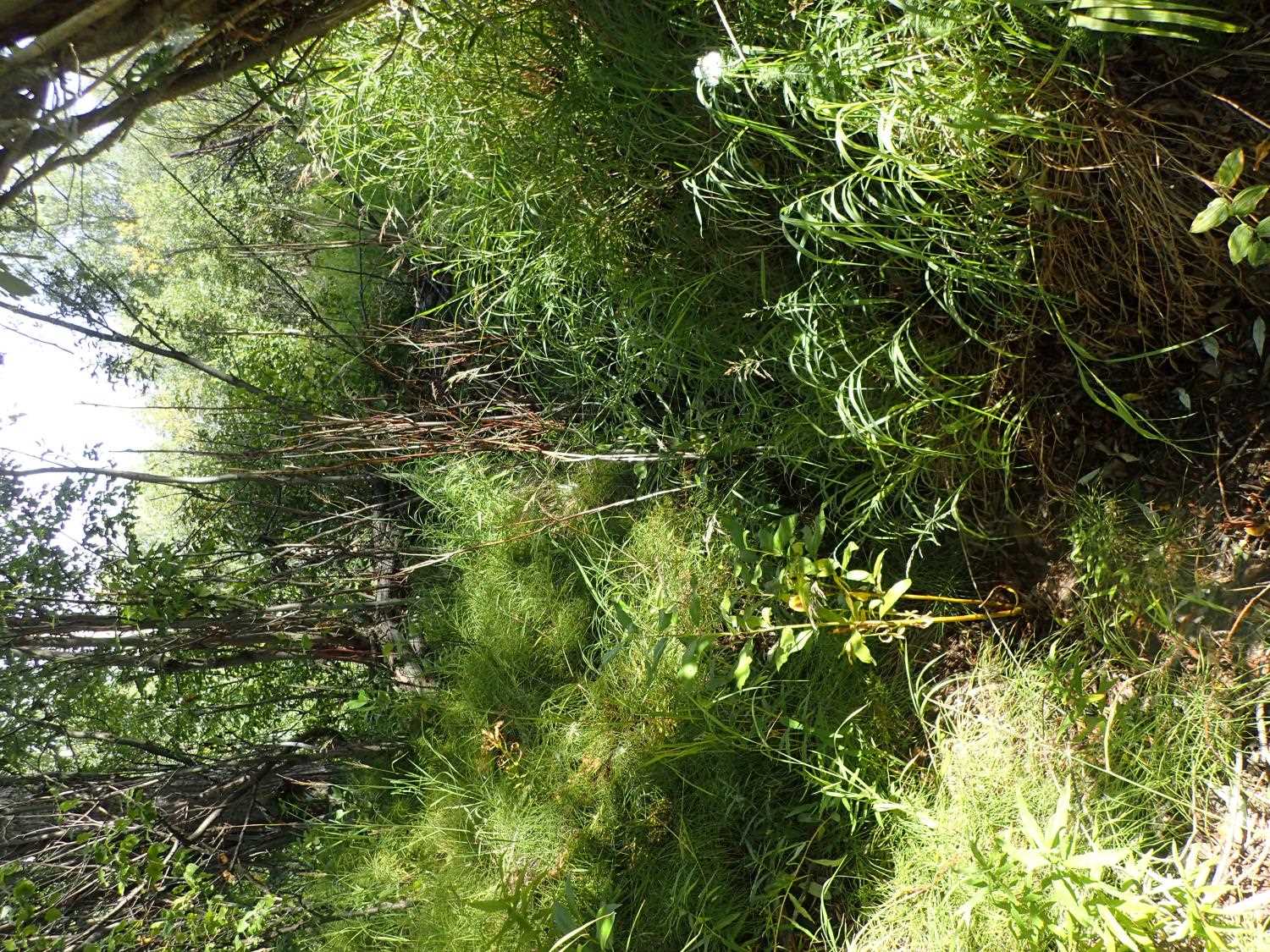
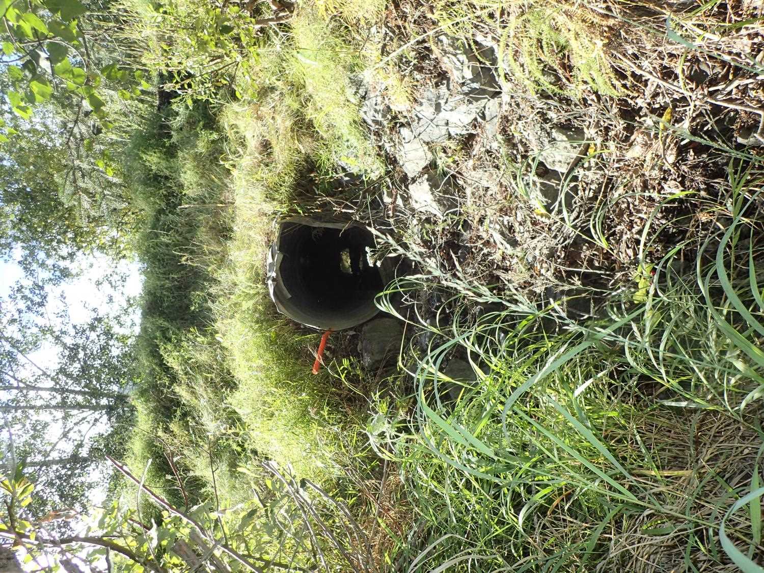
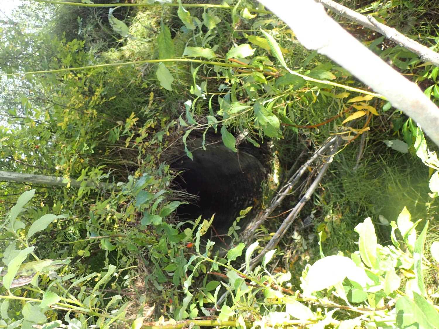
Comments: No water present; noted from 2016 survey - 20408399 water diverted to upstream site
Culvert Measurements
| ID: 1 | Structure Type:N/A | Fish Passage Rating: | |||||||||||||||||||||||||||||||||||||||||
|
|
|
|||||||||||||||||||||||||||||||||||||||||
Culvert Observations:
|
|||||||||||||||||||||||||||||||||||||||||||
Stream Measurements
|
|
No stream width data available.
Elevations
No elevation data available.
Fish Sampling Efforts
No fish sampling occurred during this survey.
Fish Observations
No fish observations occurred during this survey.
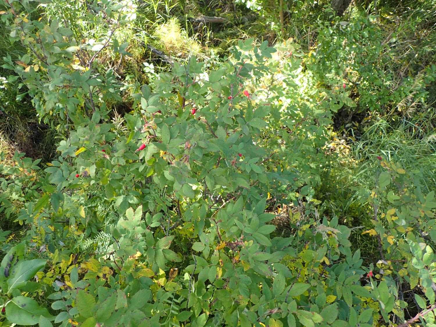
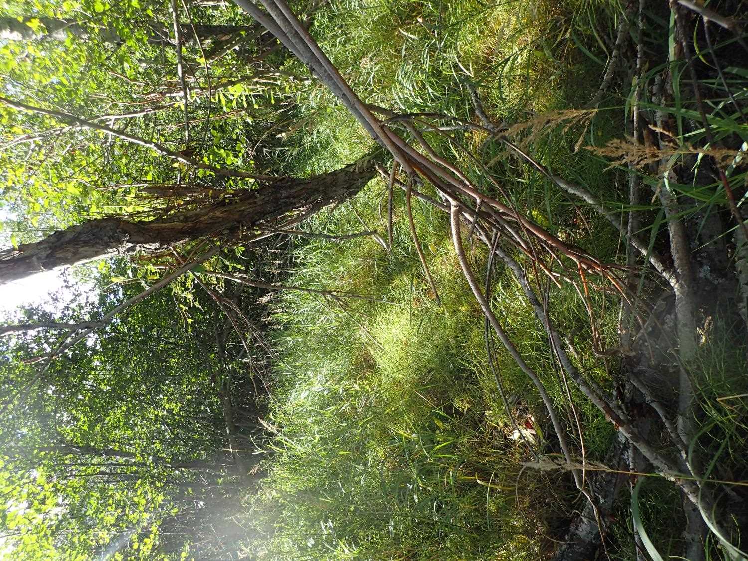
Photos
Questions or comments about this report can be directed to dfg.dsf.webmaster@alaska.gov