Location
- Latitude: 60.4498
- Longitude: -151.104681
- USGS Map: KENAI B-3
- Elevation (m): 61
- MTRS: S004N011W12
- Management Area: Kenai (Upper Kenai Peninsula)
Access
- Latitude: 60.4498
- Longitude: -151.104681
- Directions: Mile 98.2 Sterling Hwy. South side of highway access at Arc Lake Picnic Area with tables and sandy beach. Distance of 30 feet from parking area to lake.
- Improvements:
- parking
- picnic area
- trash receptacle
- handicap accessible
- Notes: * Gravel parking area. * Respect other recreational users. * Don't drill ice fishing holes in skating rink. * Skating rink lights in winter time. * Seasonal (winter) portable toilet.
- Status: City
Lake Characteristics
- Surface Area (ha): 6.5
- Bathymetric Map: Arc-2.gif
- Arc_Lake.pdf
- Lake Category: Landlocked
- Maximum Depth (m): 4.6
- Most Recent Survey Date: 4/16/2024
- Most Recent Survey Notes: Lake size and area data date unknown. Lake category entered 4/16/2024.
Photos
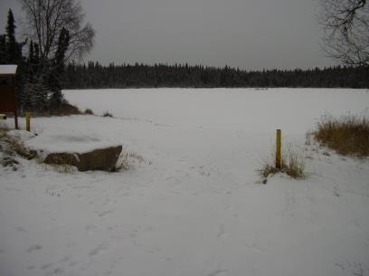
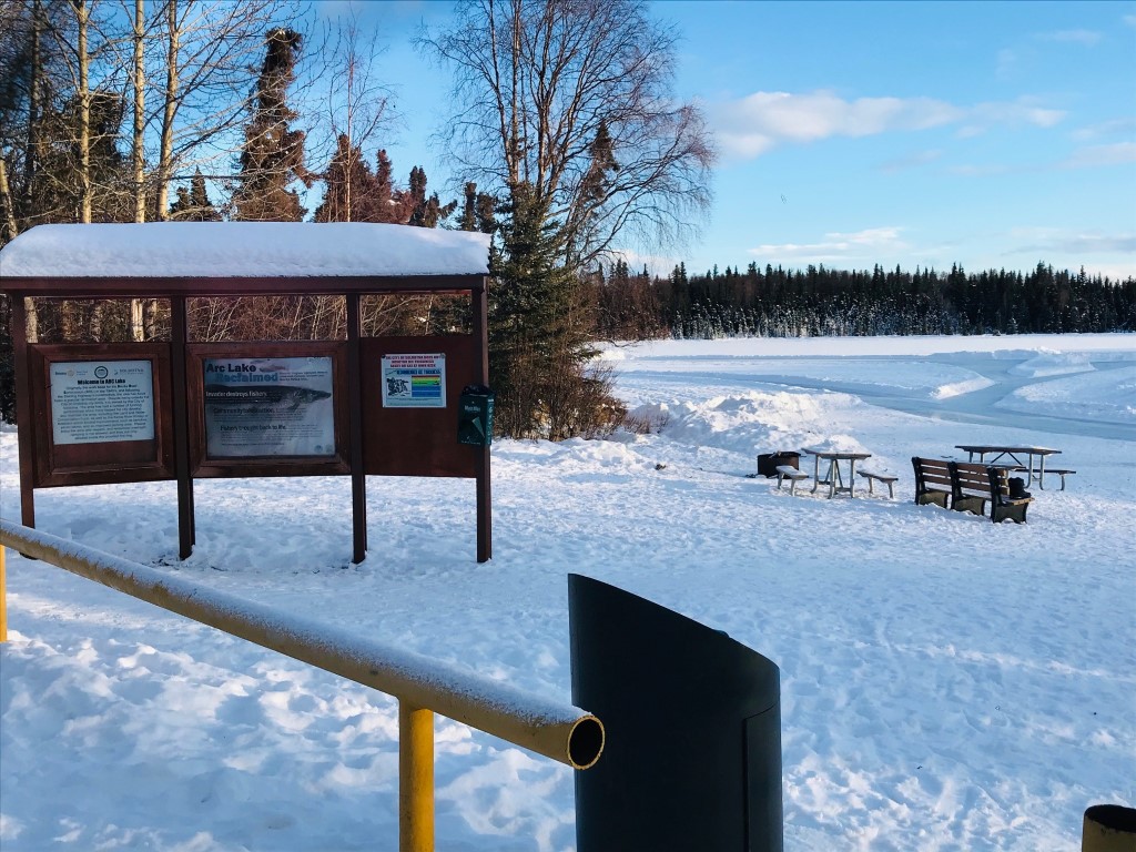
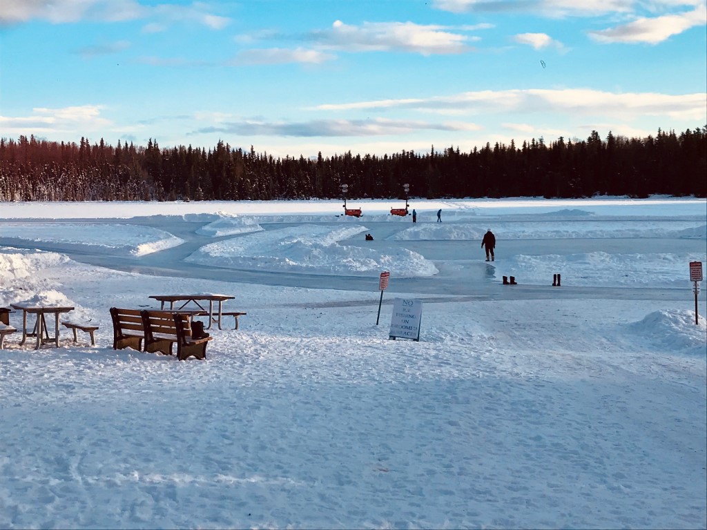
Download Linked Documents
- Arc Lake Site Evaluation.pdf
- 2000-2007_Lake_Assessment_ Report.pdf
- Arc_Historic_Fish_Sampling_Summary.pdf
- Arc_Historic_Net_Record.pdf
- Arc_Historic_Lake_Survey_Summary.pdf
- Arc_Historic_Restoration.pdf
- Arc_Historic_Water_Analysis.pdf
- Arc_Historic_Stocking_Record.pdf
- Arc_Historic_Bathymetric_Map.pdf
- Arc_Brochure_2022.pdf