Location
- Latitude: 60.545302
- Longitude: -149.573234
- USGS Map: SEWARD C-7
- Elevation (m): 275
- MTRS: S005N002W02
- Management Area: Kenai (Upper Kenai Peninsula)
Access
- Latitude: 60.545302
- Longitude: -149.573234
- Directions: Mile 38.6 Seward Hwy. (0.5mi north of Seward Hwy./Sterling Hwy. junction), within Chugach National Forest. Paved turnout west of highway. Steep bank to lake. NOTE: Please respect property. Keep lake and access sites free of litter.
- Notes: *Steep bank to lake.
- Status: U.S. Forest Service
Lake Characteristics
- Surface Area (ha): 6.6
- Bathymetric Map: Jerome.gif
- Lake Category: Open Outlet
- Maximum Depth (m): 4.6
- Most Recent Survey Date: 7/17/1960
- Most Recent Survey Notes: Lake was rehabilitated in 1968.
Photos
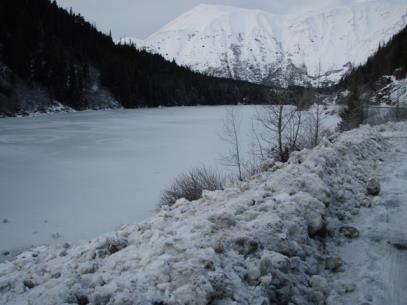
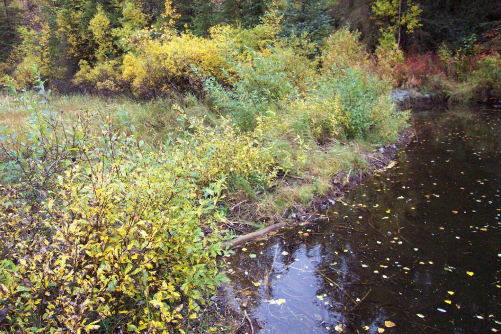
Download Linked Documents
- 2000-2007_Lake_Assessment_ Report.pdf
- Jerome_Historic_Fish_Sampling_Summary.pdf
- Jerome_Historic_Net_Record.pdf
- Jerome_Historic_Stocking_Record.pdf
- Jerome_Historic_Lake_Survey_Summary.pdf
- Jerome_Historic_Lake_Restoration.pdf
- Jerome_Historic_Water_Analysis.pdf
- Jermone_Historic_Temp_Profile.pdf
- Jermone_Historic_Bathymetric_Map.pdf
- Jerome Lake Site Evaluation.pdf
- Jerome_Brochure_2022.pdf