Fish Passage Site 10302267
Coordinates (dec. deg.): 58.45442°, -135.87398°
Legal Description: C039S058E32
Region: Southeast
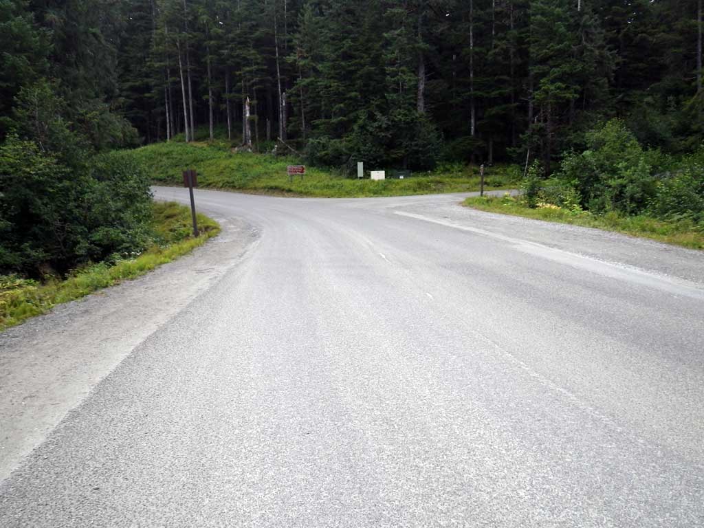
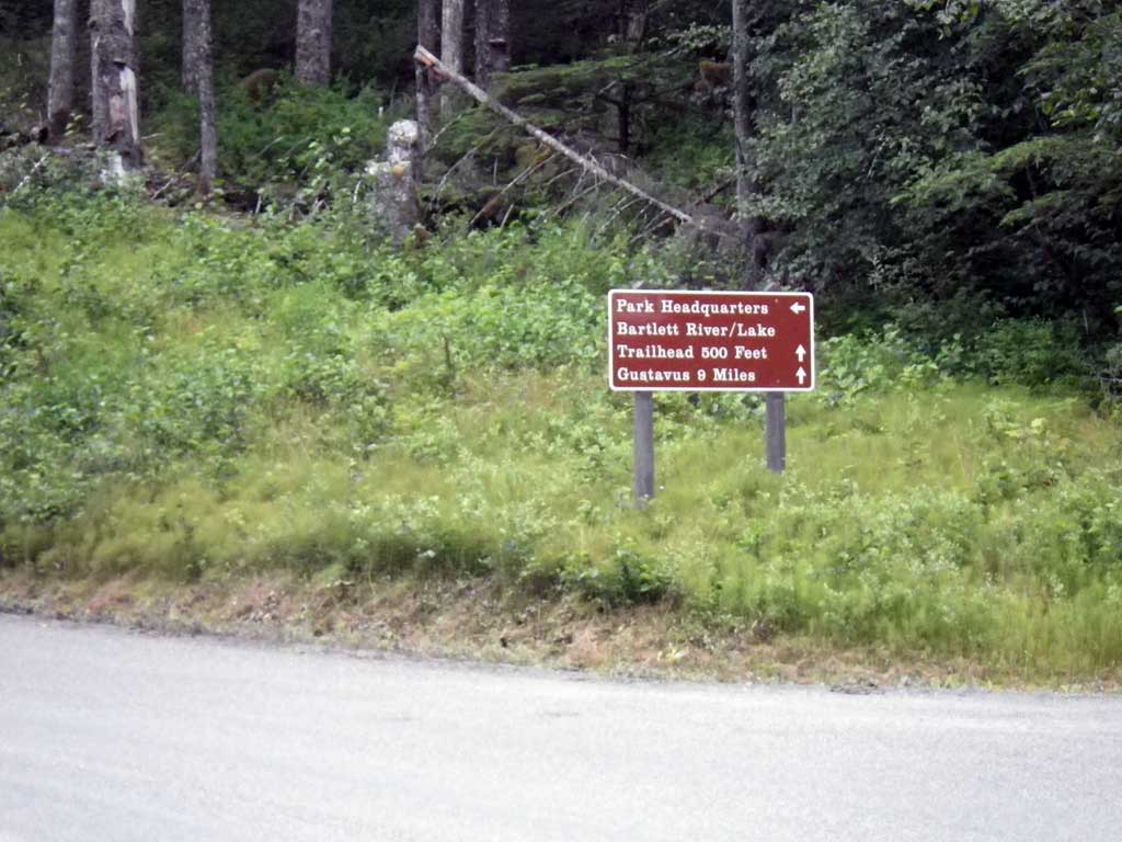
Road Name: Glacier National Park Drive
Datum: NAD83
Quad Name / ITM: Juneau B-6
AWC Stream #:
Stream Name: Bartlett Cove tributary
Elevation:
Site Comments: None
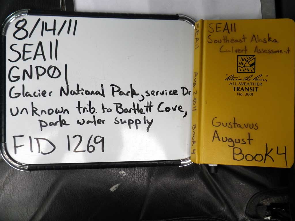
Survey SEA11-GNP01
Project Supervisor: Gillian O'Doherty, Alaska Department of Fish and Game
— Anchorage, AK
Observers: Jason Olds, Charmagne Gutierrez
Overall Fish Passage Rating:
Tidal: No
Backwatered: No
Step Pools: No
Construction Year:
Site Observations:
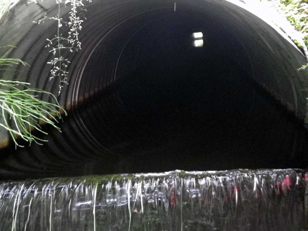
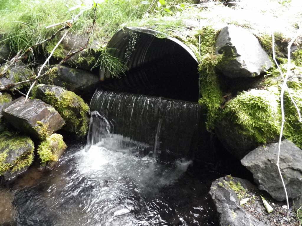
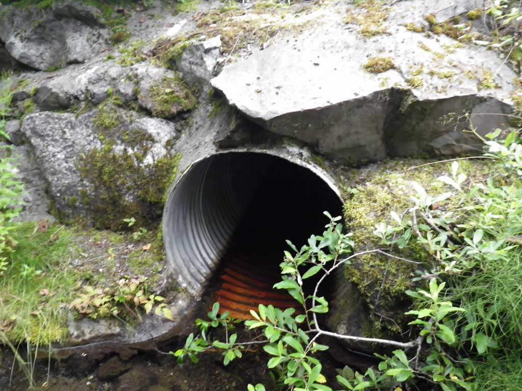
- Outfall height red
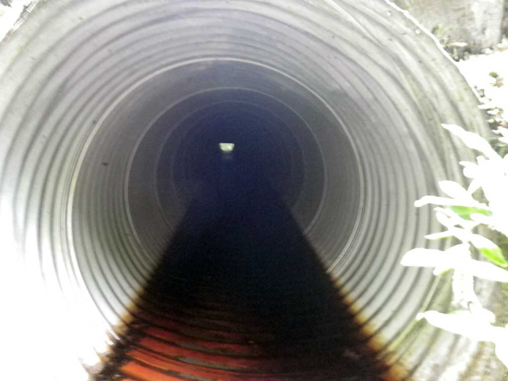
- Culvert is poorly aligned
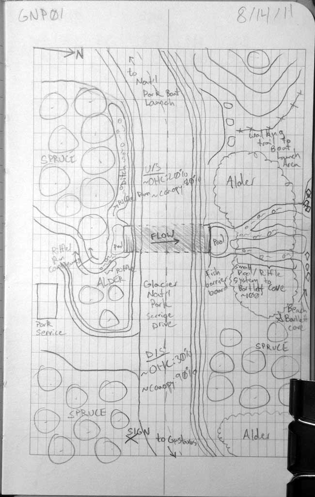
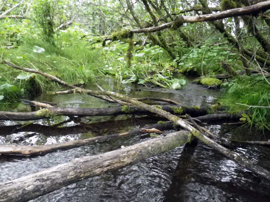
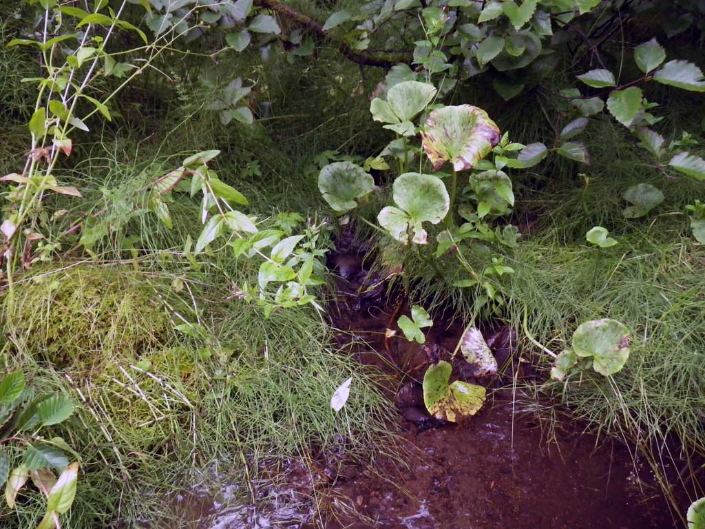
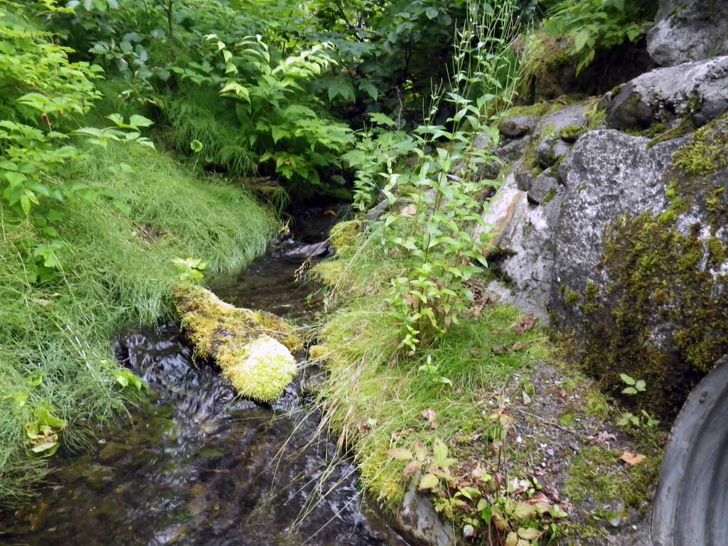
Comments: No stream calculated. Intentional fish barrier constructed at invert out as upstream is source of park water supply approximately 50 feet of invert in. Channel braids upstream and downstream of culvert to ditch adjacent road upstream and delta to confluence of Bartlett Cove downstream. In AWC below fish barrier structure so no traps were set or fish observed. Local biologist reports trapping above culvert numerous times without catching anything. Nearly right angle aproach.
Culvert Measurements
| ID: 1 | Structure Type: Circular pipe (Corrugated steel) | Fish Passage Rating: | |||||||||||||||||||||||||||||||||||||||||
|
|
|
|||||||||||||||||||||||||||||||||||||||||
Comments: Dam at outlet. |
|||||||||||||||||||||||||||||||||||||||||||
Culvert Observations:
|
|||||||||||||||||||||||||||||||||||||||||||
Stream Measurements
|
|
No stream width data available.
Elevations
| Locator ID | Culvert Number |
River Distance (ft)1 |
Distance From Crossing (ft)2 |
Relative Elevation (ft) |
|---|---|---|---|---|
| Road Elev | 100.11 | |||
| D/S Grade Ctrl (Thalweg) | 0.00 | 89.10 | ||
| D/S Water Surface Elev | 0.00 | 89.37 | ||
| D/S Water Surface Elev | 12.00 | 89.42 | ||
| D/S Tailcrest or 1st Thalweg | 12.00 | 89.16 | ||
| Max Pool Depth | 21.00 | 87.32 | ||
| Outlet Pool Water Elev | 21.00 | 89.44 | ||
| Outlet Invert (Top of wooden barrier wall at invert out) | 24.00 | 90.71 | ||
| D/S Water Surface Elev (Water flowing over barrier wall) | 24.00 | 90.73 | ||
| Outlet Culvert Top | 24.00 | 92.16 | ||
| Inlet Culvert Invert | 122.50 | 90.78 | ||
| U/S Water Surface Elev | 122.50 | 91.18 | ||
| U/S Headwater | 125.00 | 91.18 | ||
| U/S Grade Ctrl (Thalweg) (Max pool depth at inlet) | 125.00 | 90.15 |
Notes:
- River distance is measured continuously throughout the survey reach along the thalweg of the stream.
- Measured from each end of the crossing along the thalweg of the stream.
Fish Sampling Efforts
| Gear Type: None (A) | ||
| Comments: No traps set no fish observed. | ||
Fish Observations
No fish observations occurred during this survey.
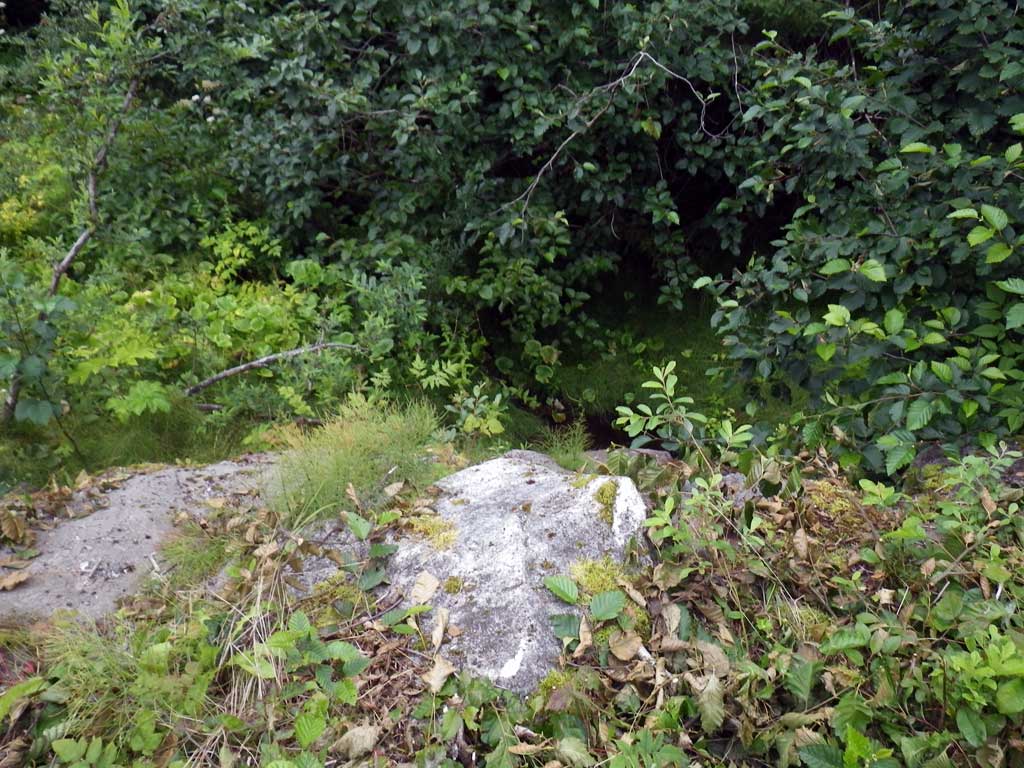
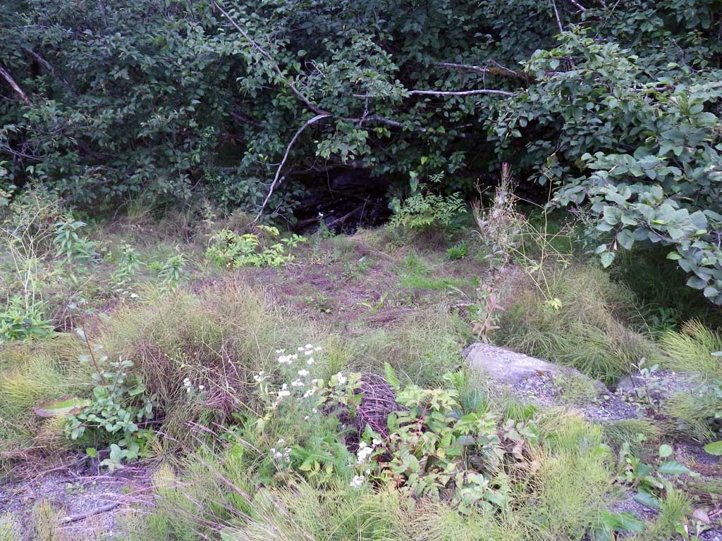
Photos
Questions or comments about this report can be directed to dfg.dsf.webmaster@alaska.gov