Fish Passage Site 10302266
Coordinates (dec. deg.): 58.45026°, -135.79306°
Legal Description: C039S058E35
Region: Southeast
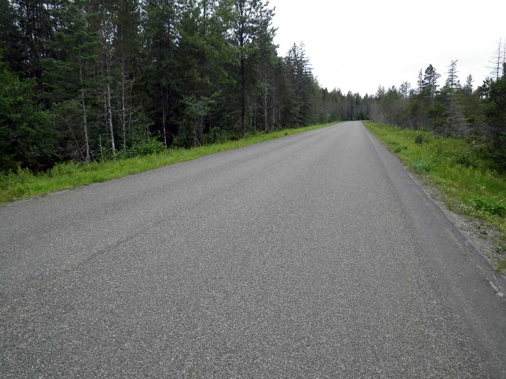
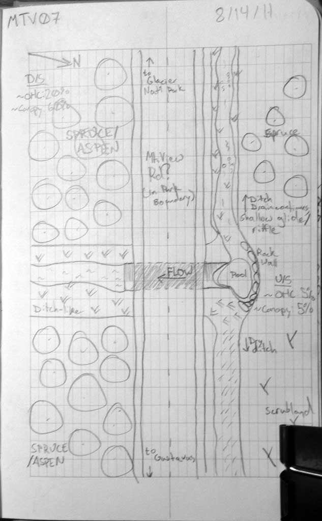
Road Name: Mountain View Road
Datum: NAD83
Quad Name / ITM: Juneau B-6
AWC Stream #:
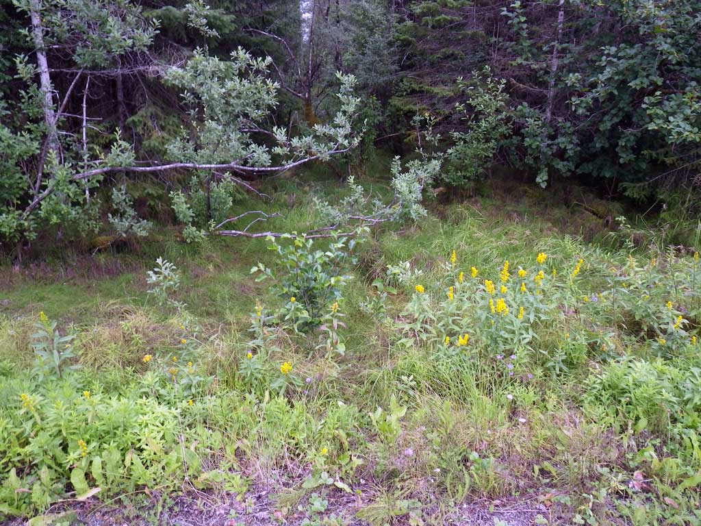
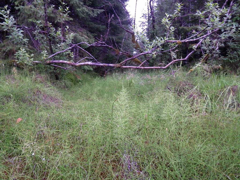
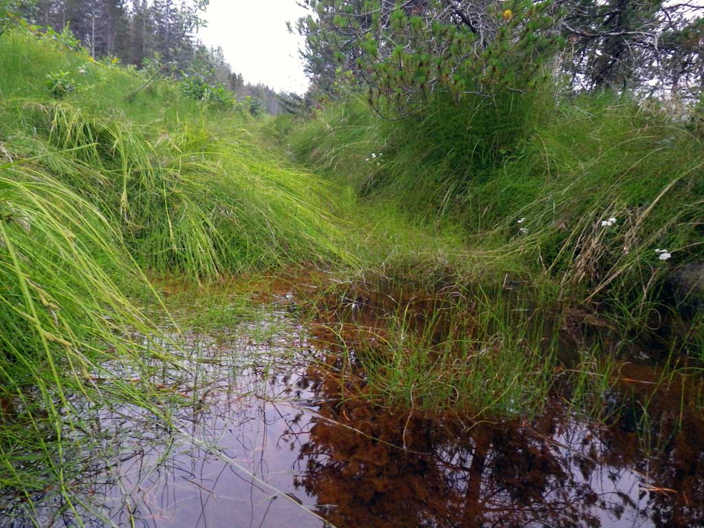
Stream Name: Good River drainage
Elevation:
Site Comments: Site is in the national park.
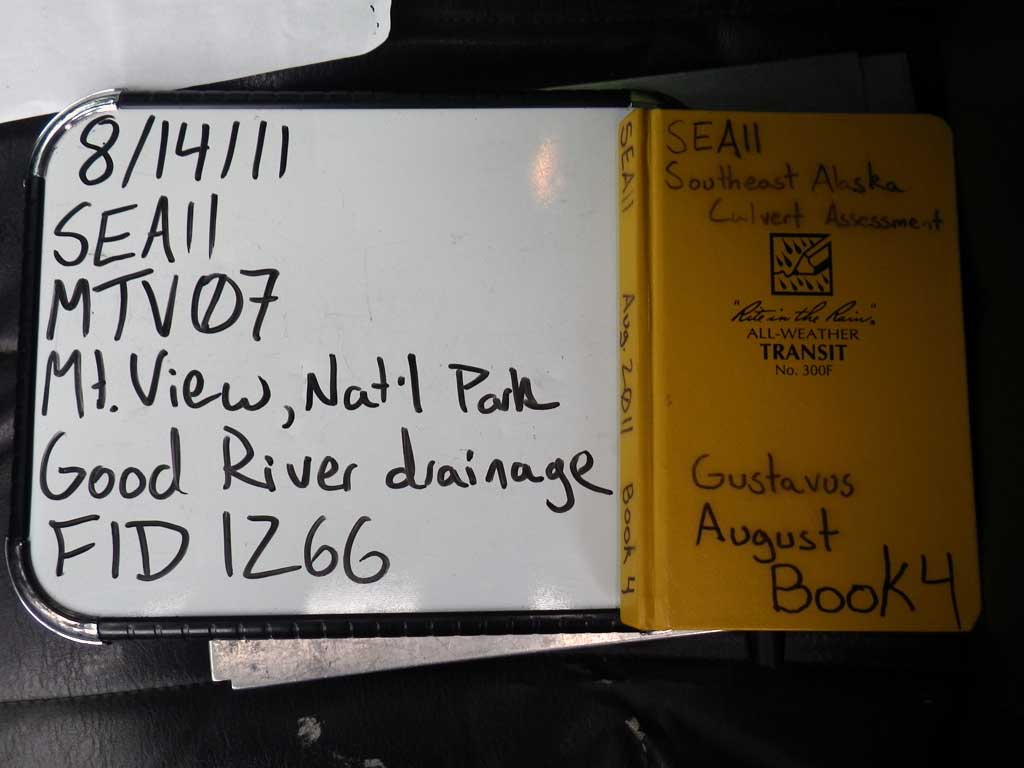
Survey SEA11-MTV07
Project Supervisor: Gillian O'Doherty, Alaska Department of Fish and Game
— Anchorage, AK
Observers: Jason Olds, Charmagne Gutierrez
Overall Fish Passage Rating:
Tidal: No
Backwatered: No
Step Pools: No
Construction Year:
Site Observations:
- None of this type
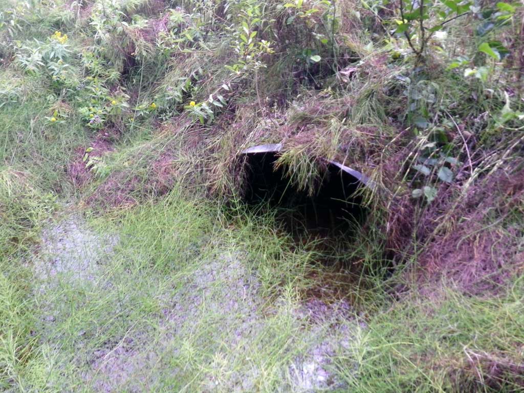
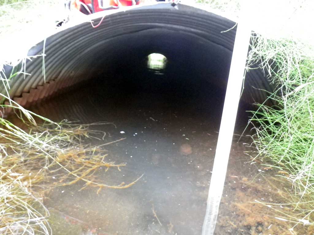
Comments: Juvenile fish observed upstream of inlet, nearly right angle aproach
Culvert Measurements
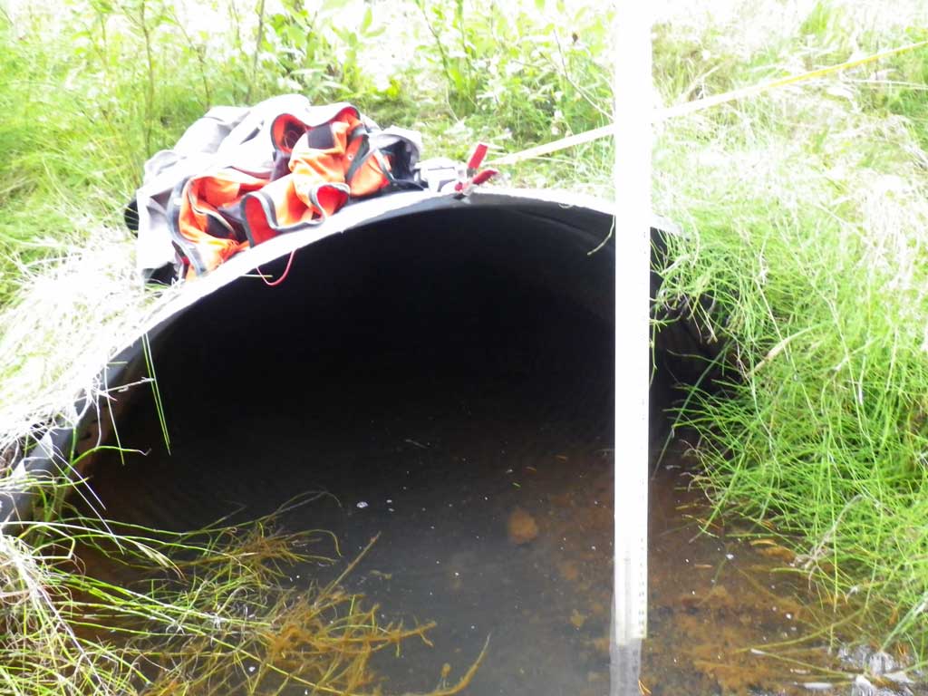
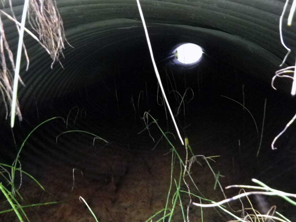
| ID: 1 | Structure Type: Circular pipe (Corrugated steel) | Fish Passage Rating: | ||||||||||||||||||||||||||||||||||||||||||
|
|
|
||||||||||||||||||||||||||||||||||||||||||
Culvert Observations:
|
||||||||||||||||||||||||||||||||||||||||||||
Stream Measurements
|
|
| Stream Width Type | Distance From Crossing (ft) |
Stream Width (ft) |
|---|---|---|
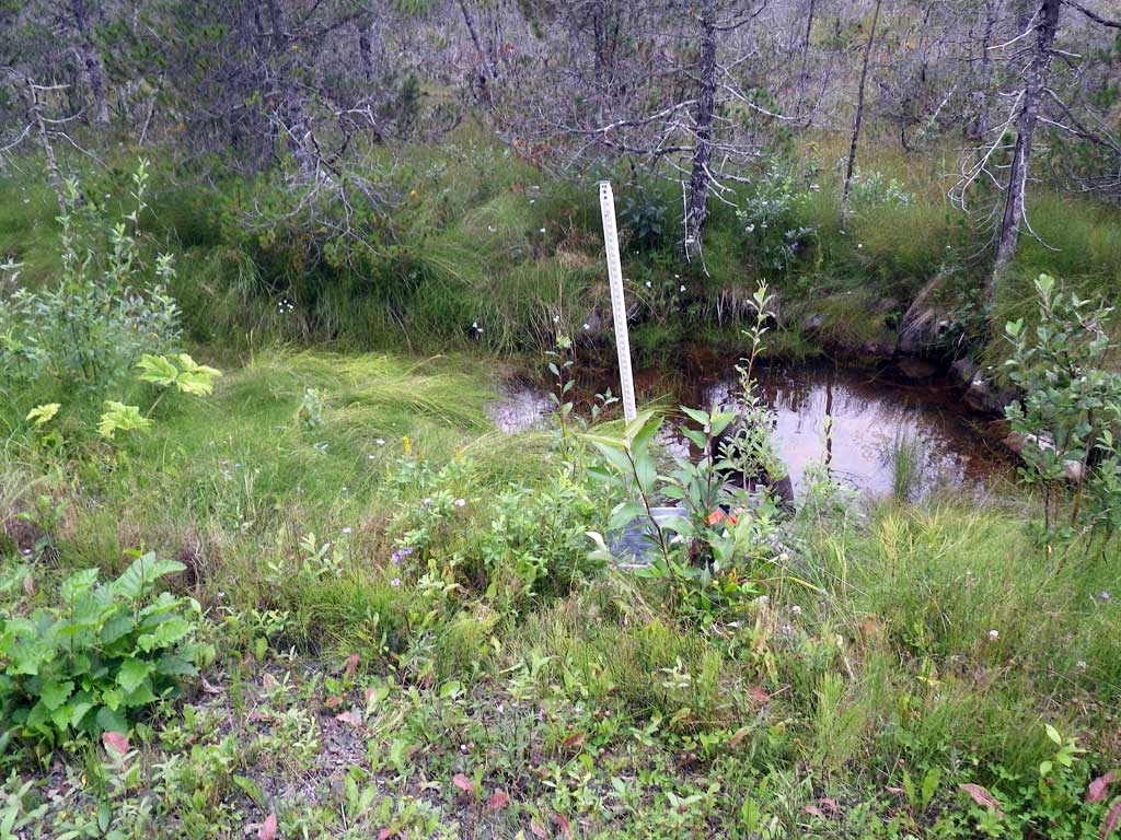
| Upstream ordinary high water | 30.0 | 5.20 |
| Upstream ordinary high water | 60.0 | 2.50 |
| Upstream ordinary high water | 90.0 | 1.90 |
Elevations
| Locator ID | Culvert Number |
River Distance (ft)1 |
Distance From Crossing (ft)2 |
Relative Elevation (ft) |
|---|---|---|---|---|
| Road Elev | 100.33 | |||
| Misc. (No discernable grade points d/s glide-like, no tailcrest found) | 0.00 | 94.85 | ||
| D/S Water Surface Elev | 0.00 | 95.38 | ||
| D/S Water Surface Elev | 10.00 | 95.38 | ||
| Outlet Thalweg | 10.00 | 94.64 | ||
| Outlet Culvert Top | 10.00 | 96.83 | ||
| Inlet Culvert Top (top of miter) | 60.50 | 97.40 | ||
| Inlet Thalweg (end of miter) | 65.00 | 94.03 | ||
| U/S Headwater (end of miter) | 65.00 | 95.41 | ||
| U/S Water Surface Elev | 75.00 | 95.40 | ||
| U/S Grade Ctrl (Thalweg) | 75.00 | 95.09 | ||
| U/S Water Surface Elev | 165.00 | 96.81 |
Notes:
- River distance is measured continuously throughout the survey reach along the thalweg of the stream.
- Measured from each end of the crossing along the thalweg of the stream.
Fish Sampling Efforts
| Gear Type: Visual Observation, Ground (A) | Trap Duration(h): 0.25 | |
| Channel Type: Main Channel (>50% of water flow) | ||
| Comments: Juvenile fish observed visually upstream from culvert. | ||
Fish Observations
| Species: juvenile salmonid-unspecified | Life History: Unknown | ||
| Total Fish Observed: 1 | Fish Measured: 1 | Fork Lengths (mm) Min: 80 Max: 80 Mean: 80 | |
| Collected/Observed by Gear Type: Upstream Visual Observation, Ground (1) | |||
Photos
Questions or comments about this report can be directed to dfg.dsf.webmaster@alaska.gov