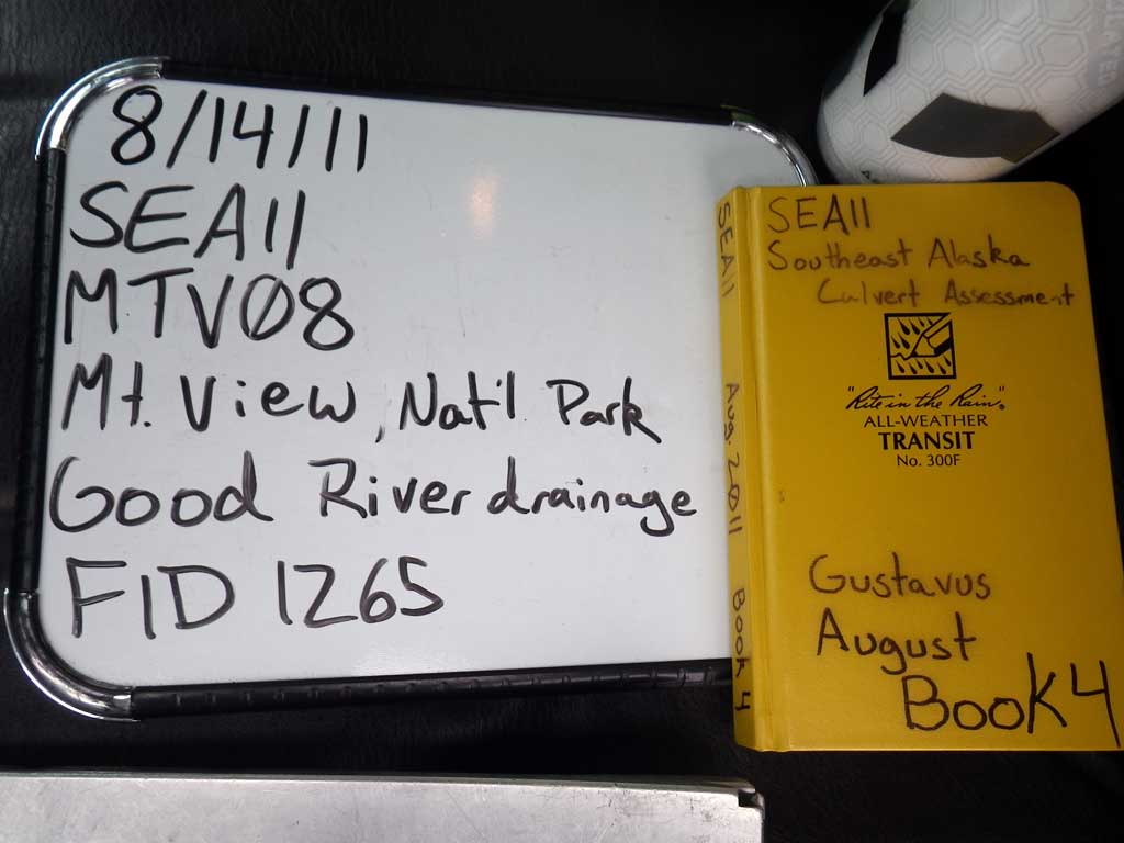
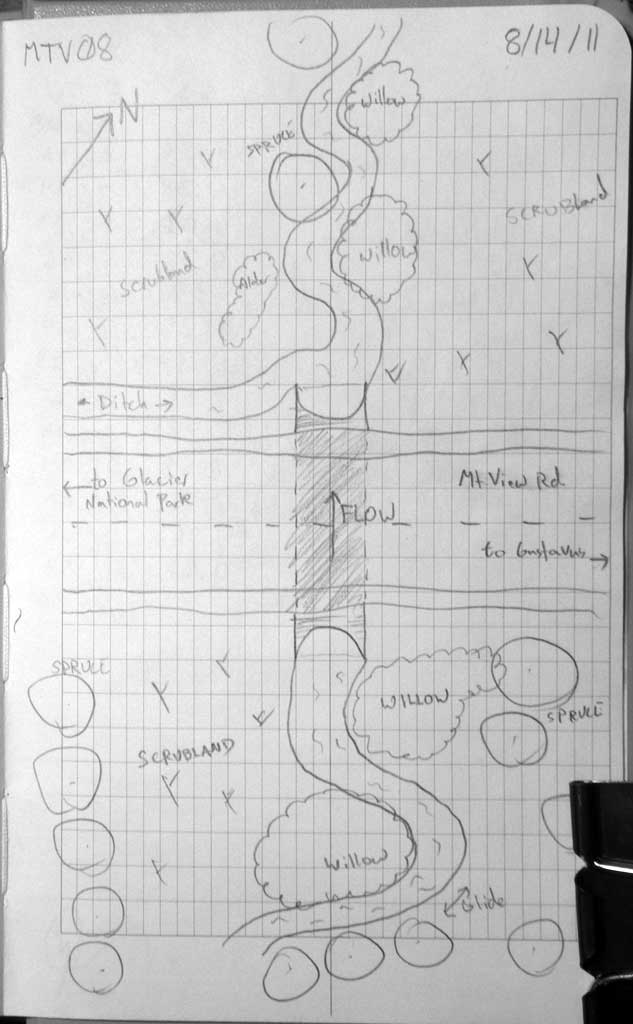
Fish Passage Site 10302265
Coordinates (dec. deg.): 58.45069°, -135.78810°
Legal Description: C039S058E35
Region: Southeast
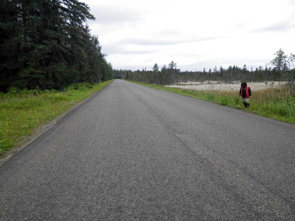
Road Name: Mountain View Road
Datum: NAD83
Quad Name / ITM: Juneau B-6
AWC Stream #:
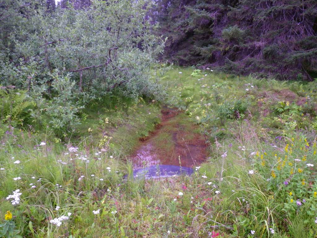
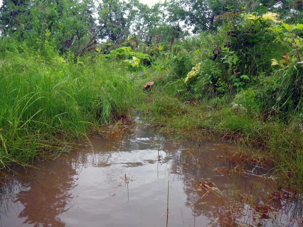
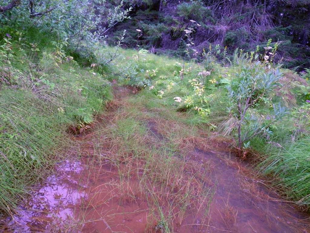
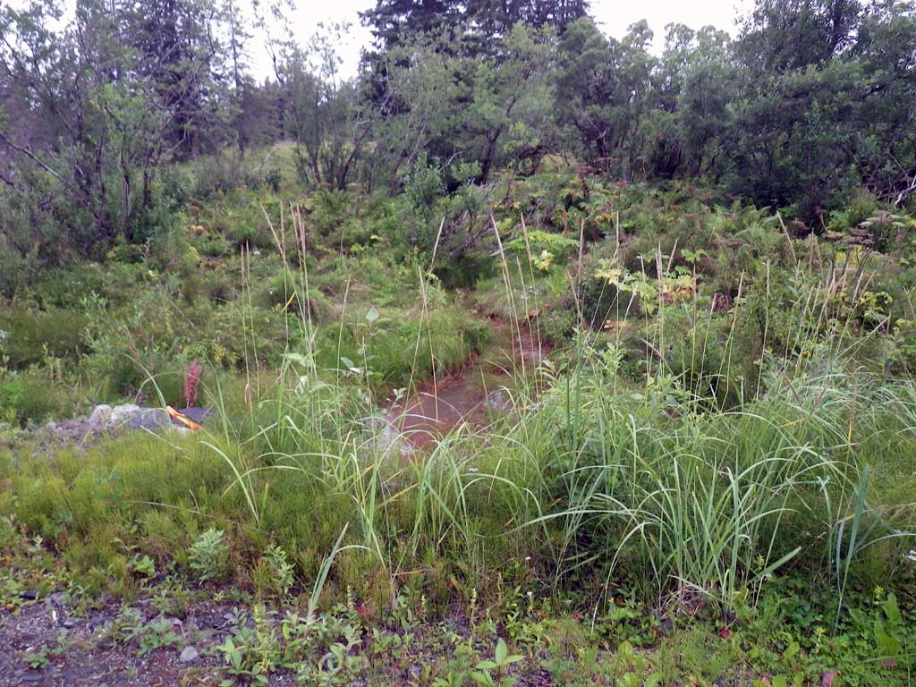
Stream Name: Good River drainage
Elevation:
Site Comments: Site is in National Park.
Survey SEA11-MTV08
Project Supervisor: Gillian O'Doherty, Alaska Department of Fish and Game
— Anchorage, AK
Observers: Jason Olds, Charmagne Gutierrez
Overall Fish Passage Rating:
Tidal: No
Backwatered: Yes
Step Pools: No
Construction Year:
Site Observations:
- None of this type
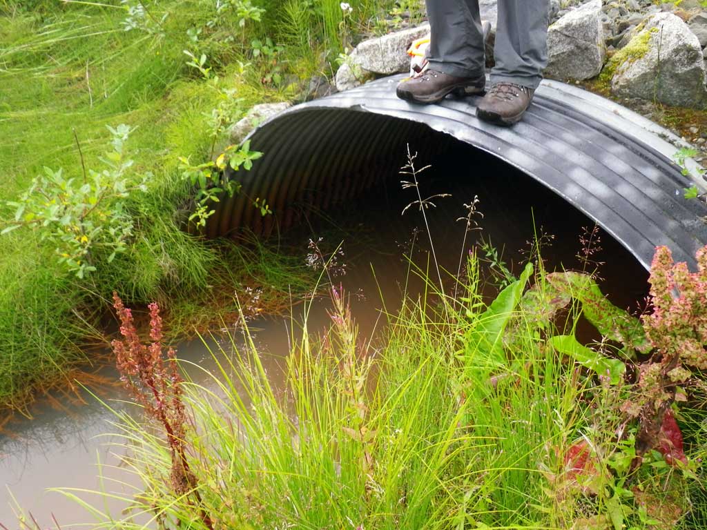
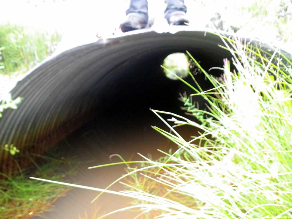
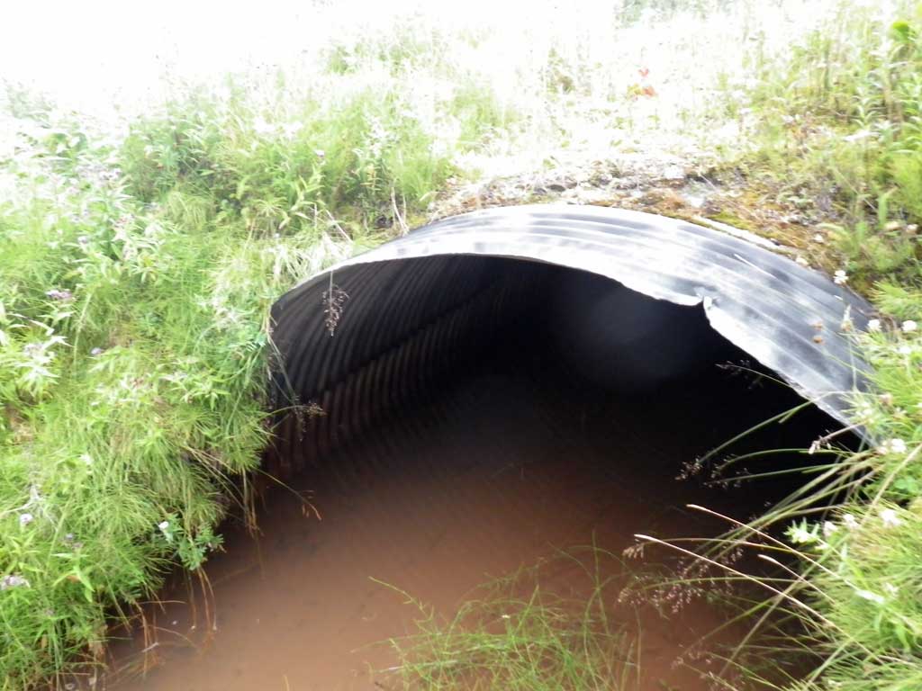
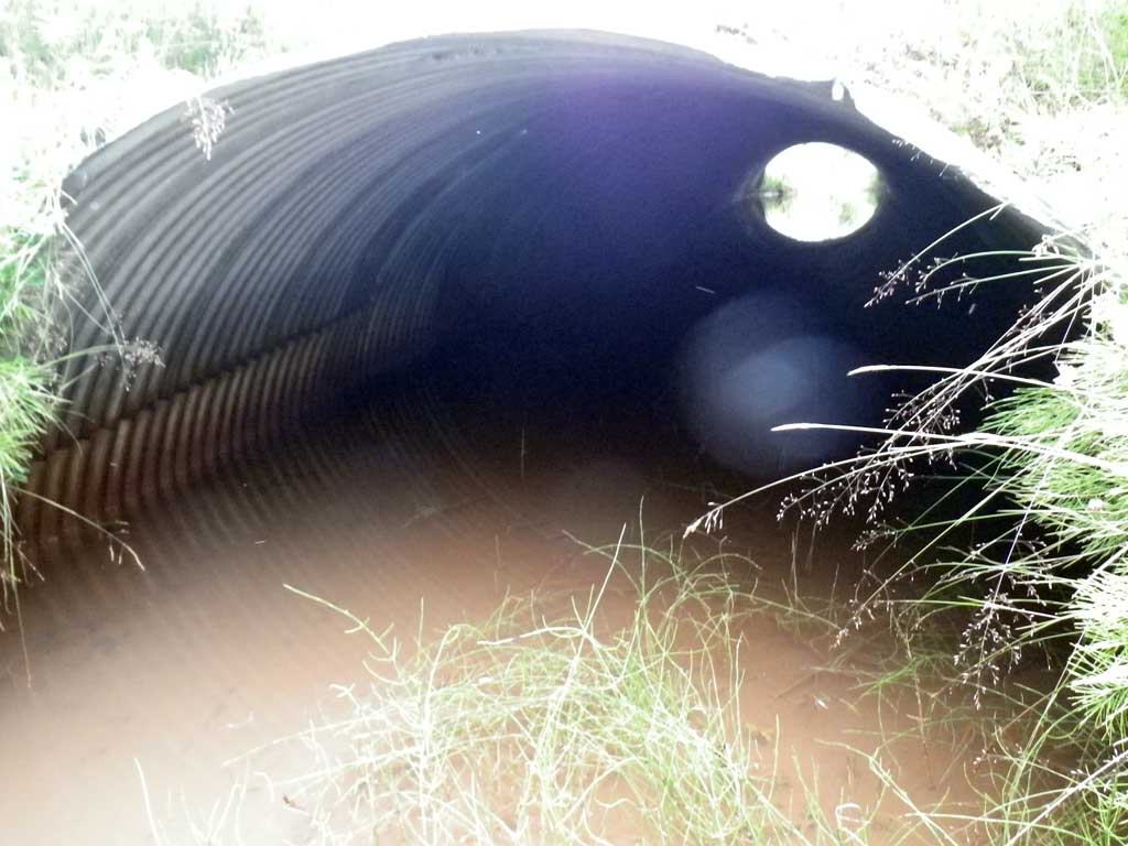
Comments: Miters bury into bank, estimated at 7 feet in length
Culvert Measurements
| ID: 1 | Structure Type: Circular pipe (Corrugated steel) | Fish Passage Rating: | ||||||||||||||||||||||||||||||||||||||||||
|
|
|
||||||||||||||||||||||||||||||||||||||||||
Culvert Observations:
|
||||||||||||||||||||||||||||||||||||||||||||
Stream Measurements
|
|
| Stream Width Type | Distance From Crossing (ft) |
Stream Width (ft) |
|---|---|---|
| Upstream ordinary high water | 50.0 | 6.40 |
| Upstream ordinary high water | 80.0 | 6.10 |
| Upstream ordinary high water | 110.0 | 6.90 |
Elevations
| Locator ID | Culvert Number |
River Distance (ft)1 |
Distance From Crossing (ft)2 |
Relative Elevation (ft) |
|---|---|---|---|---|
| Road Elev | 102.21 | |||
| Misc. (D/S survey pt. no discernable grade points) | 0.00 | 95.46 | ||
| D/S Water Surface Elev | 0.00 | 96.64 | ||
| D/S Water Surface Elev | 19.00 | 96.66 | ||
| D/S Tailcrest or 1st Thalweg | 19.00 | 95.93 | ||
| Outlet Thalweg (end of miter) | 23.00 | 96.10 | ||
| D/S Water Surface Elev (end of miter) | 23.00 | 96.67 | ||
| Outlet Culvert Top (top of miter) | 30.00 | 100.25 | ||
| Inlet Culvert Top (top of miter) | 93.40 | 100.04 | ||
| Inlet Thalweg (end of miter) | 100.40 | 95.34 | ||
| U/S Headwater (end of miter) | 100.40 | 96.67 | ||
| U/S Water Surface Elev | 110.40 | 96.66 | ||
| U/S Water Surface Elev | 260.00 | 96.97 |
Notes:
- River distance is measured continuously throughout the survey reach along the thalweg of the stream.
- Measured from each end of the crossing along the thalweg of the stream.
Fish Sampling Efforts
| Gear Type: None (A) | ||
| Comments: No traps set no fish observed. | ||
Fish Observations
No fish observations occurred during this survey.
Photos
Questions or comments about this report can be directed to dfg.dsf.webmaster@alaska.gov