Fish Passage Site 10302263
Coordinates (dec. deg.): 58.45129°, -135.78216°
Legal Description: C039S058E35
Region: Southeast
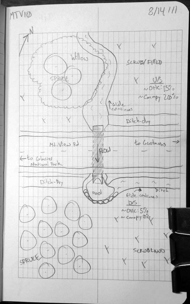
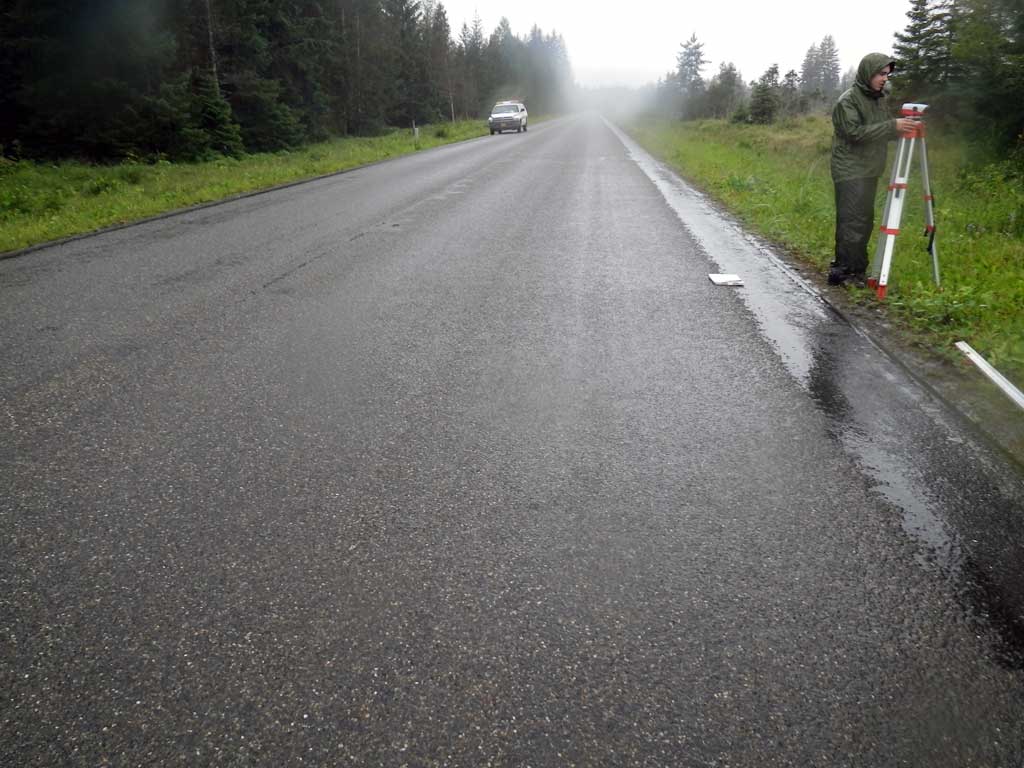
Road Name: Mountain View Road
Datum: NAD83
Quad Name / ITM: Juneau B-6
AWC Stream #:
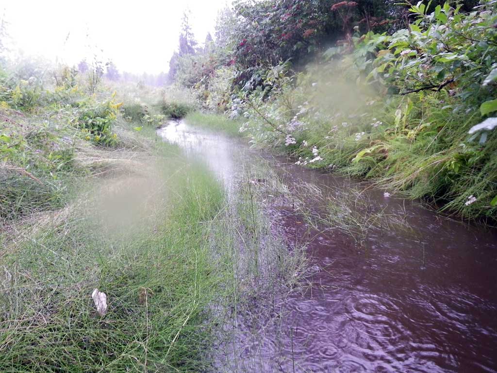
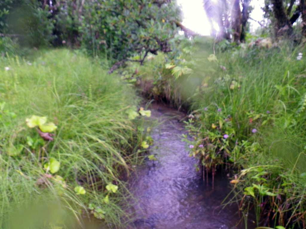
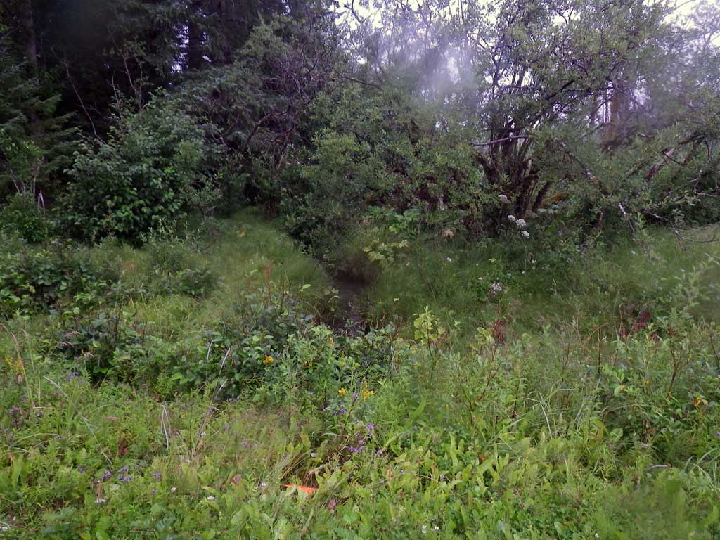
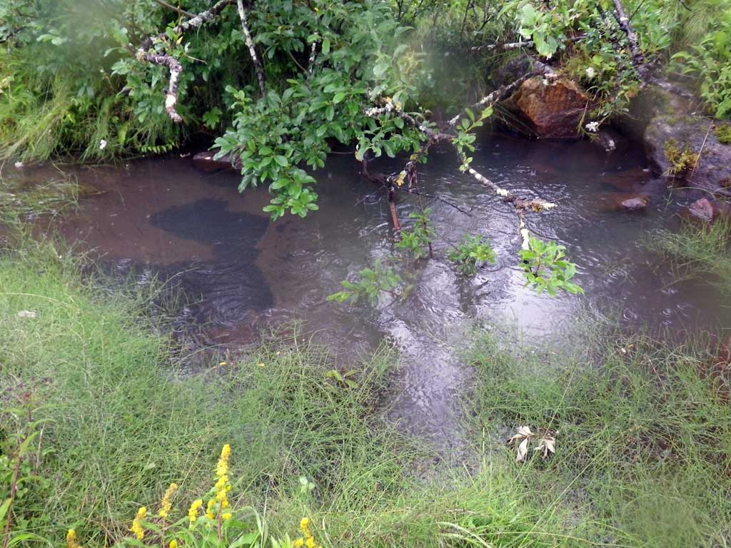
Stream Name: Good River drainage
Elevation:
Site Comments: Approximately 200 feet downstream from MTV09
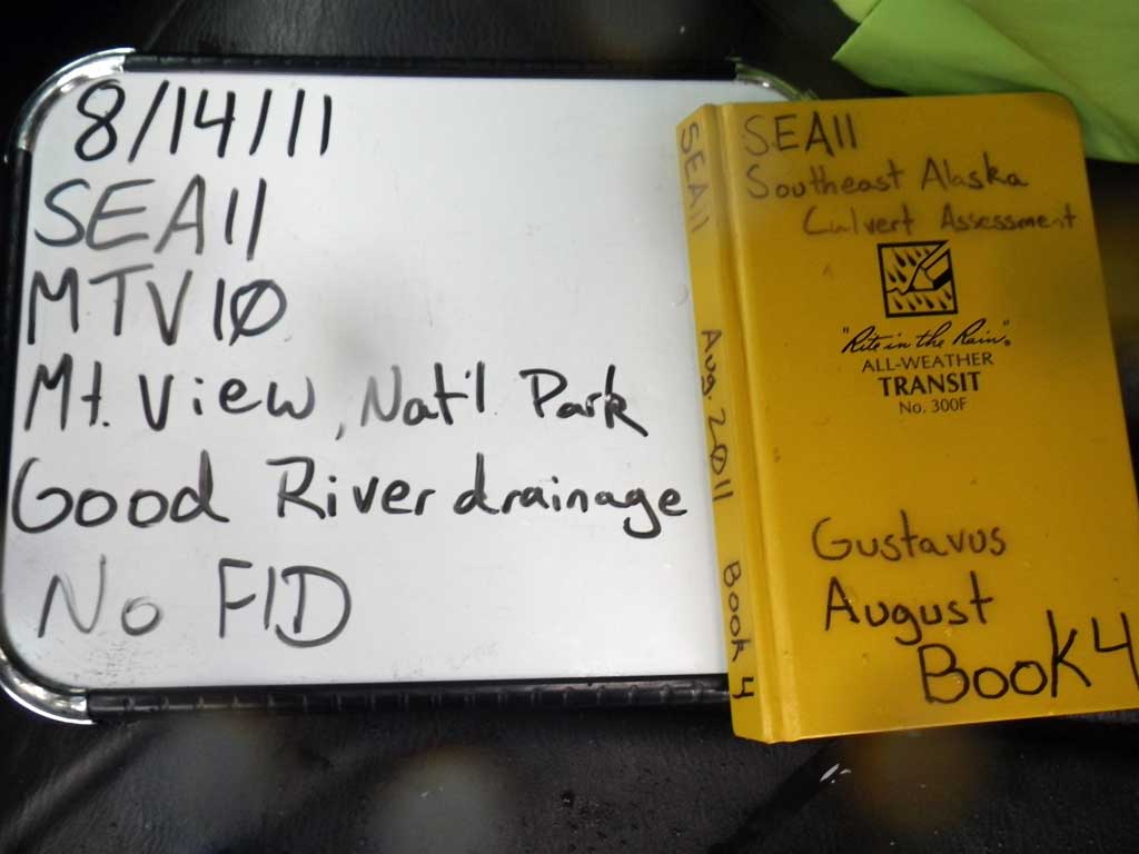
Survey SEA11-MTV10
Project Supervisor: Gillian O'Doherty, Alaska Department of Fish and Game
— Anchorage, AK
Observers: Jason Olds, Charmagne Gutierrez
Overall Fish Passage Rating:
Tidal: No
Backwatered: No
Step Pools: No
Construction Year:
Site Observations:
- Constriction ratio red
Comments: Extremely thick foilage upstream, no stream grade measured.
Culvert Measurements
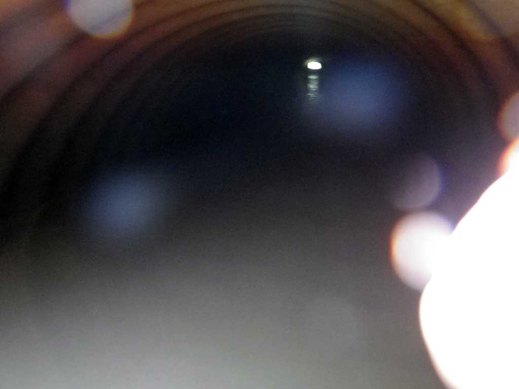
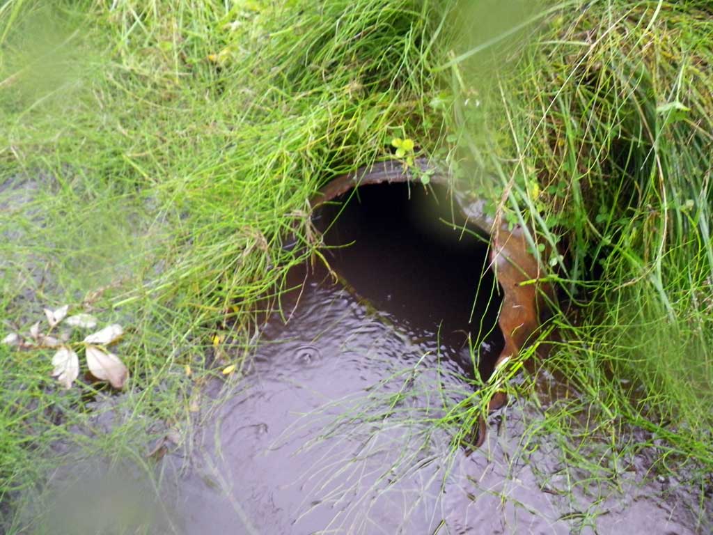
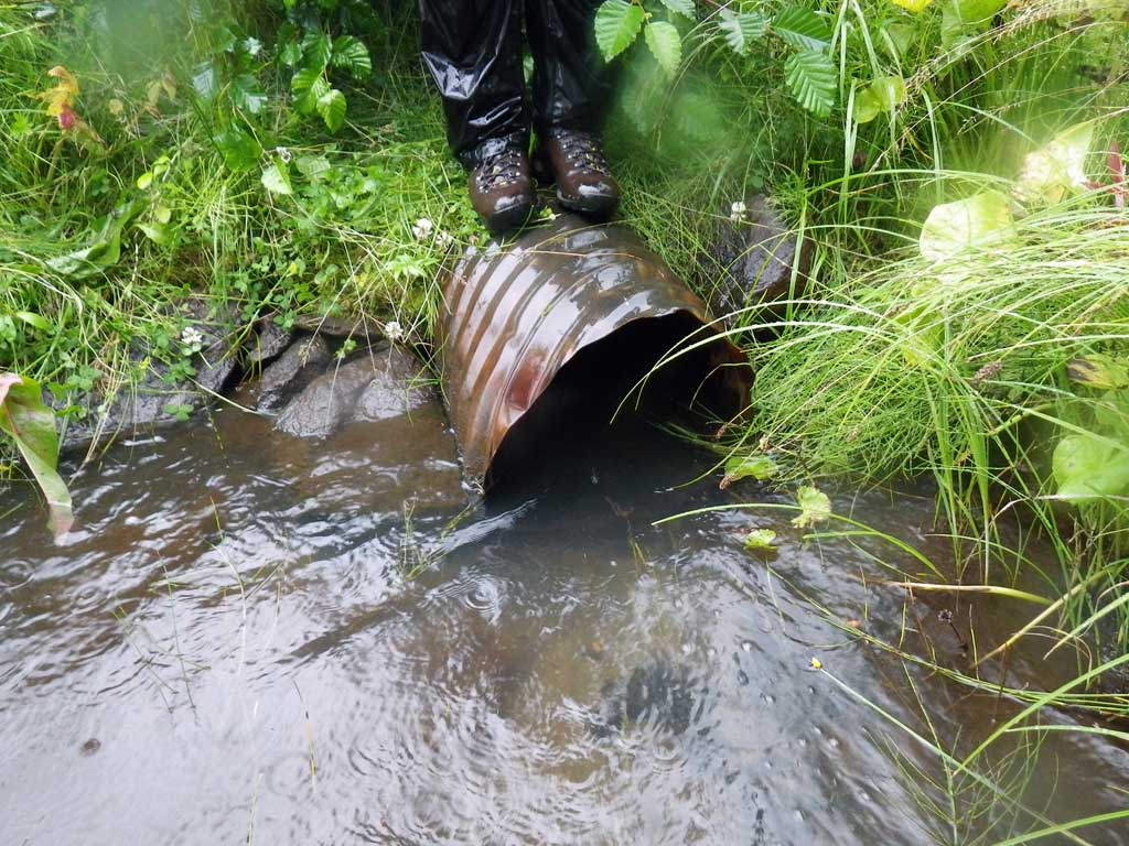
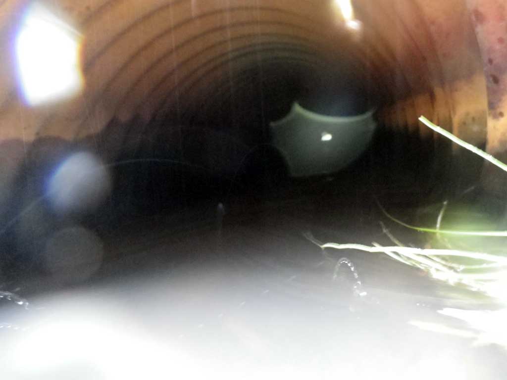
| ID: 1 | Structure Type: Circular pipe (Corrugated steel) | Fish Passage Rating: | |||||||||||||||||||||||||||||||||||||||||
|
|
|
|||||||||||||||||||||||||||||||||||||||||
Culvert Observations:
|
|||||||||||||||||||||||||||||||||||||||||||
Stream Measurements
|
|
| Stream Width Type | Distance From Crossing (ft) |
Stream Width (ft) |
|---|---|---|
| Upstream ordinary high water | 30.0 | 4.20 |
| Upstream ordinary high water | 60.0 | 5.00 |
| Upstream ordinary high water | 90.0 | 3.50 |
Elevations
| Locator ID | Culvert Number |
River Distance (ft)1 |
Distance From Crossing (ft)2 |
Relative Elevation (ft) |
|---|---|---|---|---|
| Road Elev | 103.46 | |||
| D/S Tailcrest or 1st Thalweg | 0.00 | 98.24 | ||
| D/S Water Surface Elev | 0.00 | 98.79 | ||
| Outlet Pool Water Elev | 4.00 | 98.81 | ||
| Max Pool Depth | 4.00 | 96.73 | ||
| Outlet Invert (end of miter) | 9.00 | 97.99 | ||
| D/S Water Surface Elev (end of miter) | 9.00 | 98.79 | ||
| Outlet Culvert Top (top of miter) | 10.50 | 99.48 | ||
| Inlet Culvert Top | 75.90 | 100.00 | ||
| U/S Water Surface Elev | 75.90 | 99.08 | ||
| Inlet Culvert Invert | 75.90 | 98.47 | ||
| U/S Headwater | 76.00 | 99.09 |
Notes:
- River distance is measured continuously throughout the survey reach along the thalweg of the stream.
- Measured from each end of the crossing along the thalweg of the stream.
Fish Sampling Efforts
| Gear Type: None (A) | ||
| Comments: No traps set no fish observed. | ||
Fish Observations
No fish observations occurred during this survey.
Photos
Questions or comments about this report can be directed to dfg.dsf.webmaster@alaska.gov