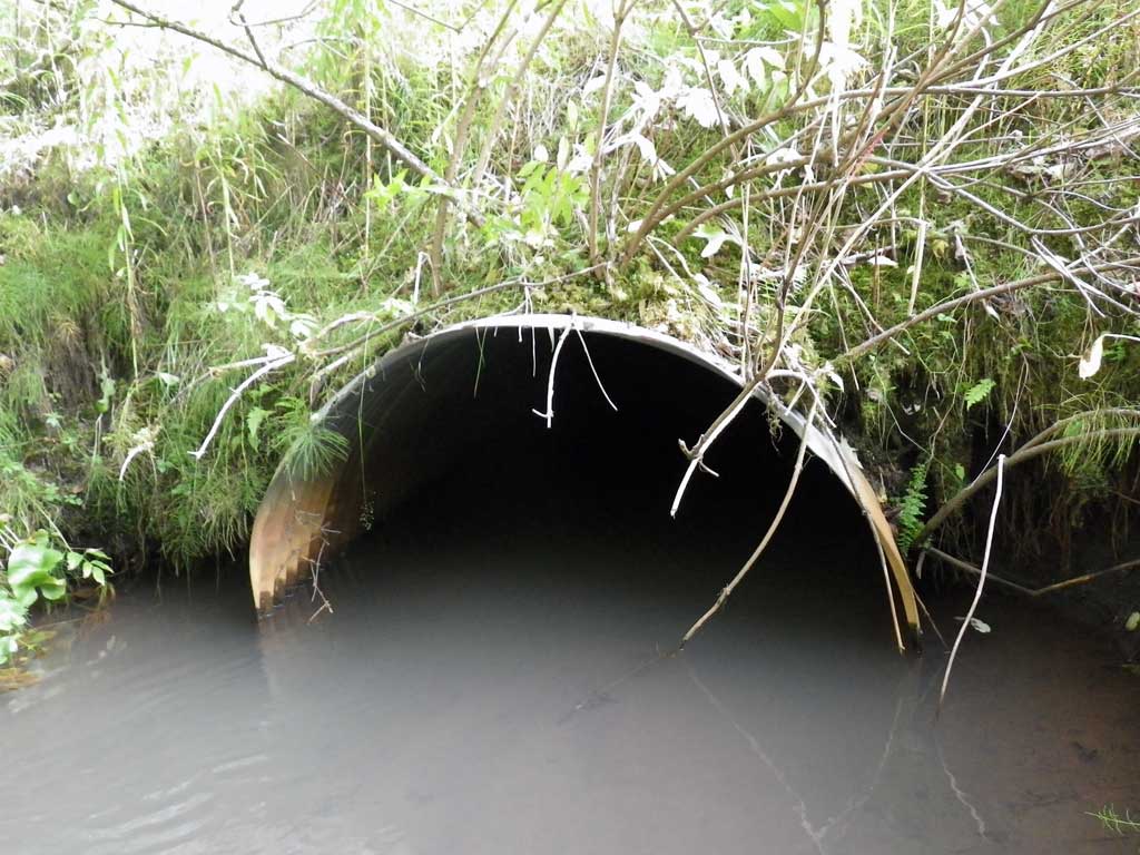
Fish Passage Site 10302259
Coordinates (dec. deg.): 58.43982°, -135.76354°
Legal Description: C040S058E01
Region: Southeast
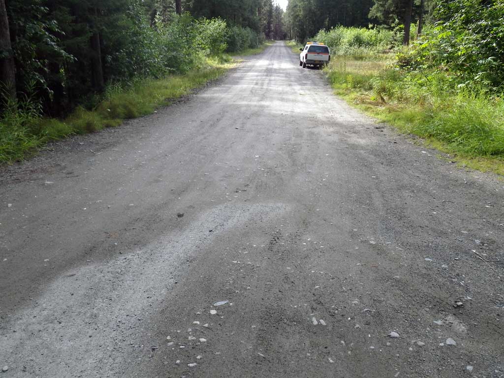
Road Name: Owen Drive
Datum: NAD83
Quad Name / ITM: Juneau B-6
AWC Stream #:
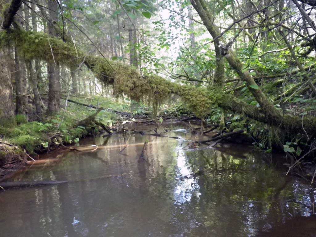
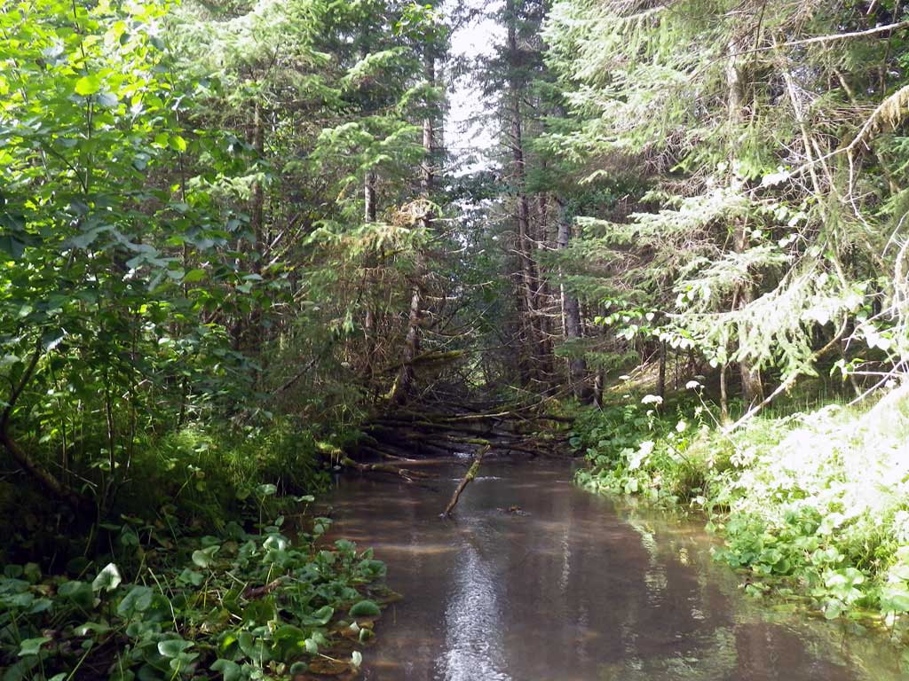
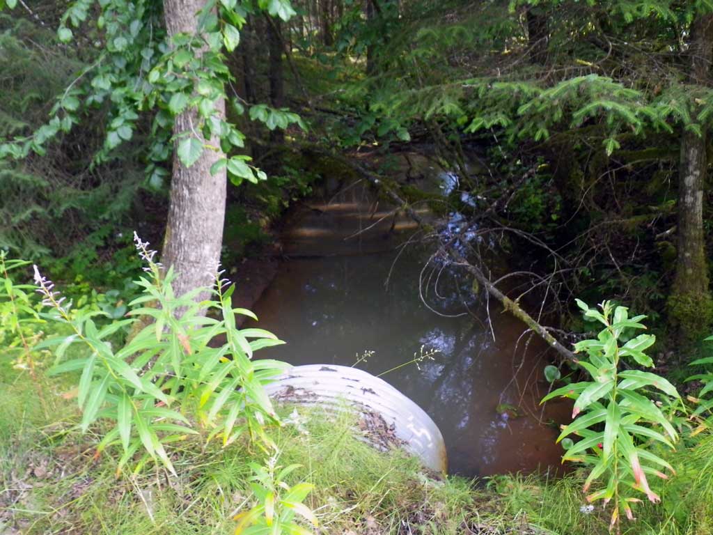
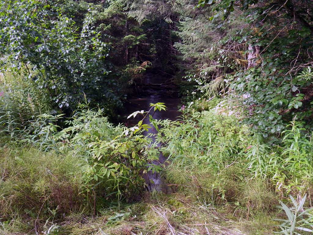
Stream Name: Good River
Elevation:
Site Comments: Approximately 400 feet upstream of VNS01, equadistant to MTV06.
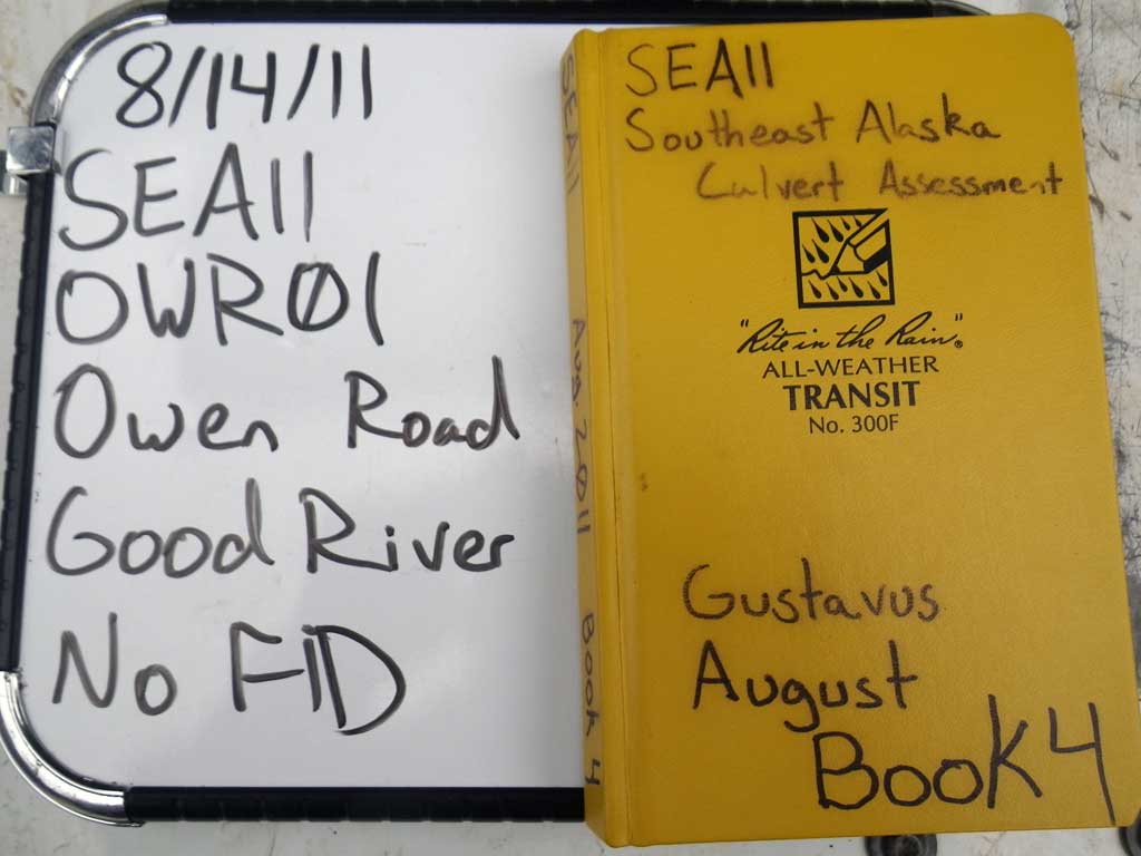
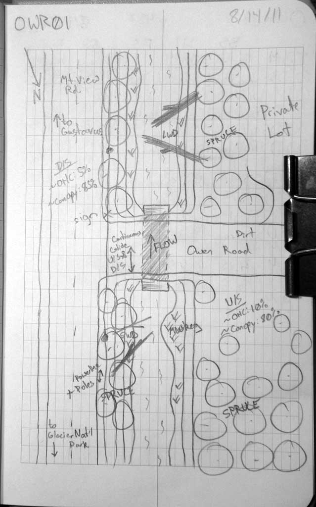
Survey SEA11-OWR01
Project Supervisor: Gillian O'Doherty, Alaska Department of Fish and Game
— Anchorage, AK
Observers: Jason Olds, Charmagne Gutierrez
Overall Fish Passage Rating:
Tidal: No
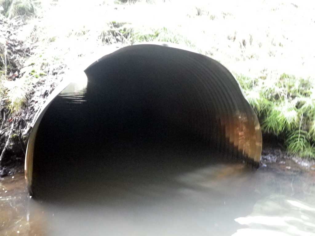
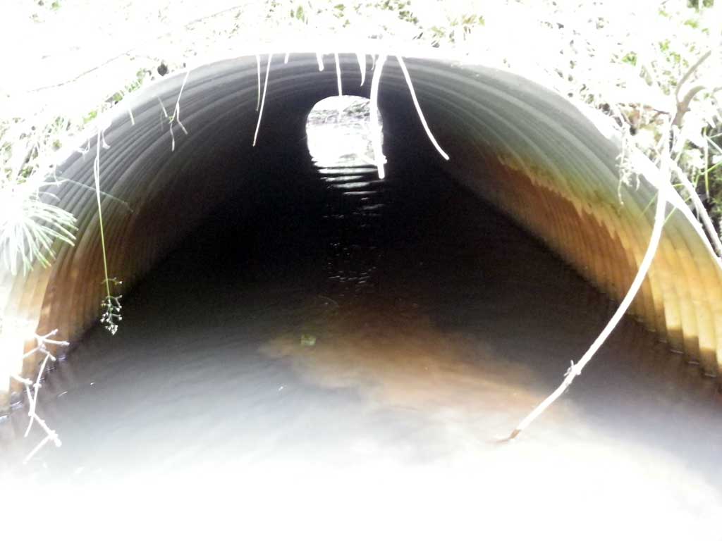
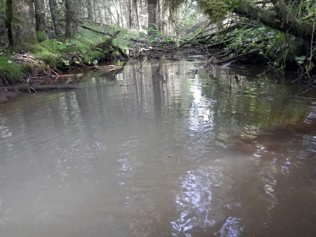
Backwatered: Yes
Step Pools: No
Construction Year:
Site Observations:
- Constriction ratio red
Comments: No fish were observed and no traps were set as stream is already in the AWC.
Culvert Measurements
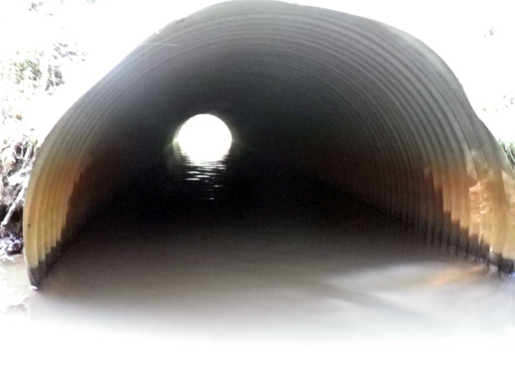
| ID: 1 | Structure Type: Circular pipe (Corrugated steel) | Fish Passage Rating: | ||||||||||||||||||||||||||||||||||||||||||
|
|
|
||||||||||||||||||||||||||||||||||||||||||
Culvert Observations:
|
||||||||||||||||||||||||||||||||||||||||||||
Stream Measurements
|
|
| Stream Width Type | Distance From Crossing (ft) |
Stream Width (ft) |
|---|---|---|
| Upstream ordinary high water | 30.0 | 13.20 |
| Upstream ordinary high water | 60.0 | 13.40 |
| Upstream ordinary high water | 90.0 | 14.50 |
Elevations
| Locator ID | Culvert Number |
River Distance (ft)1 |
Distance From Crossing (ft)2 |
Relative Elevation (ft) |
|---|---|---|---|---|
| Road Elev | 96.96 | |||
| Misc. (Continuous glide, no discernable tailcrest) | 0.00 | 88.87 | ||
| D/S Water Surface Elev | 0.00 | 89.53 | ||
| D/S Water Surface Elev | 30.00 | 89.54 | ||
| Outlet Thalweg | 30.00 | 88.15 | ||
| Outlet Culvert Top | 30.00 | 92.92 | ||
| Inlet Thalweg | 75.20 | 88.58 | ||
| U/S Headwater (1st resting) | 75.20 | 89.52 | ||
| Inlet Culvert Top | 75.20 | 92.34 | ||
| U/S Water Surface Elev | 85.20 | 89.51 | ||
| U/S Water Surface Elev | 372.20 | 89.97 |
Notes:
- River distance is measured continuously throughout the survey reach along the thalweg of the stream.
- Measured from each end of the crossing along the thalweg of the stream.
Fish Sampling Efforts
| Gear Type: None (A) | ||
| Comments: No traps set no fish observed. | ||
Fish Observations
No fish observations occurred during this survey.
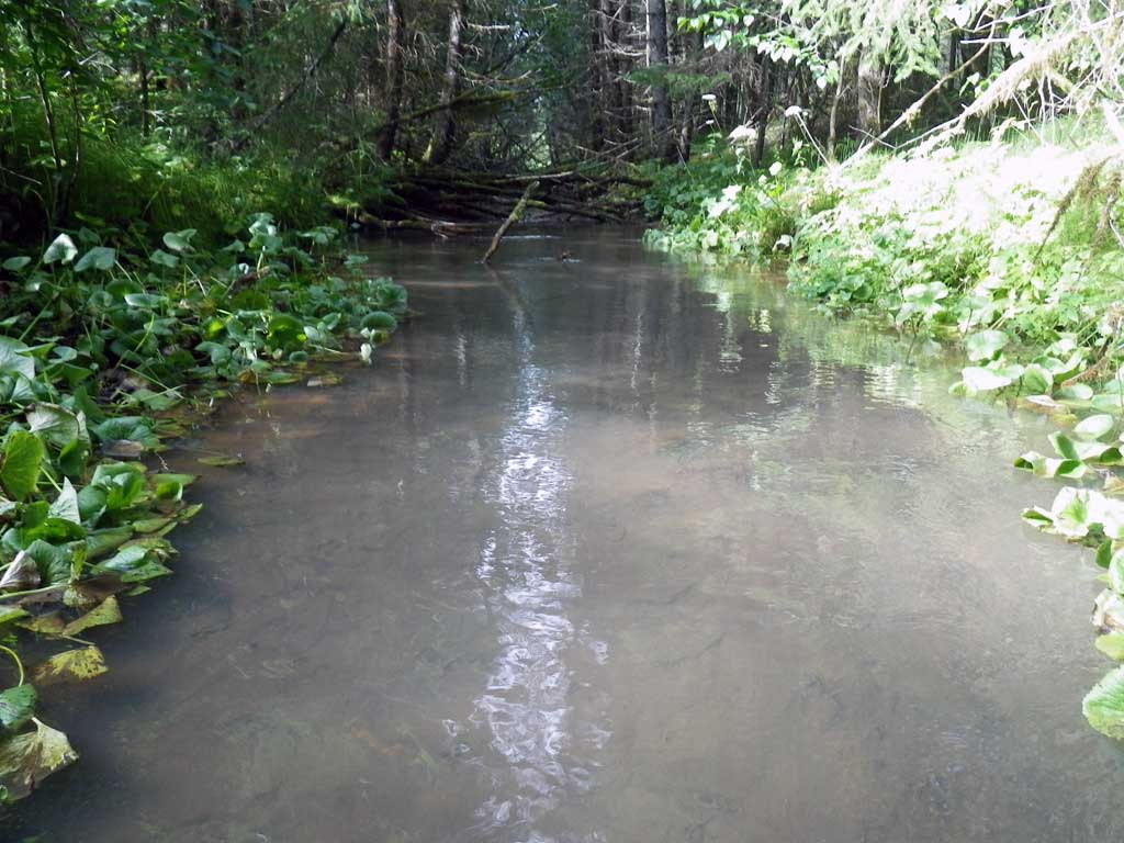
Photos
Questions or comments about this report can be directed to dfg.dsf.webmaster@alaska.gov