Fish Passage Site 10302258
Coordinates (dec. deg.): 58.43788°, -135.76289°
Legal Description: C040S058E01
Region: Southeast
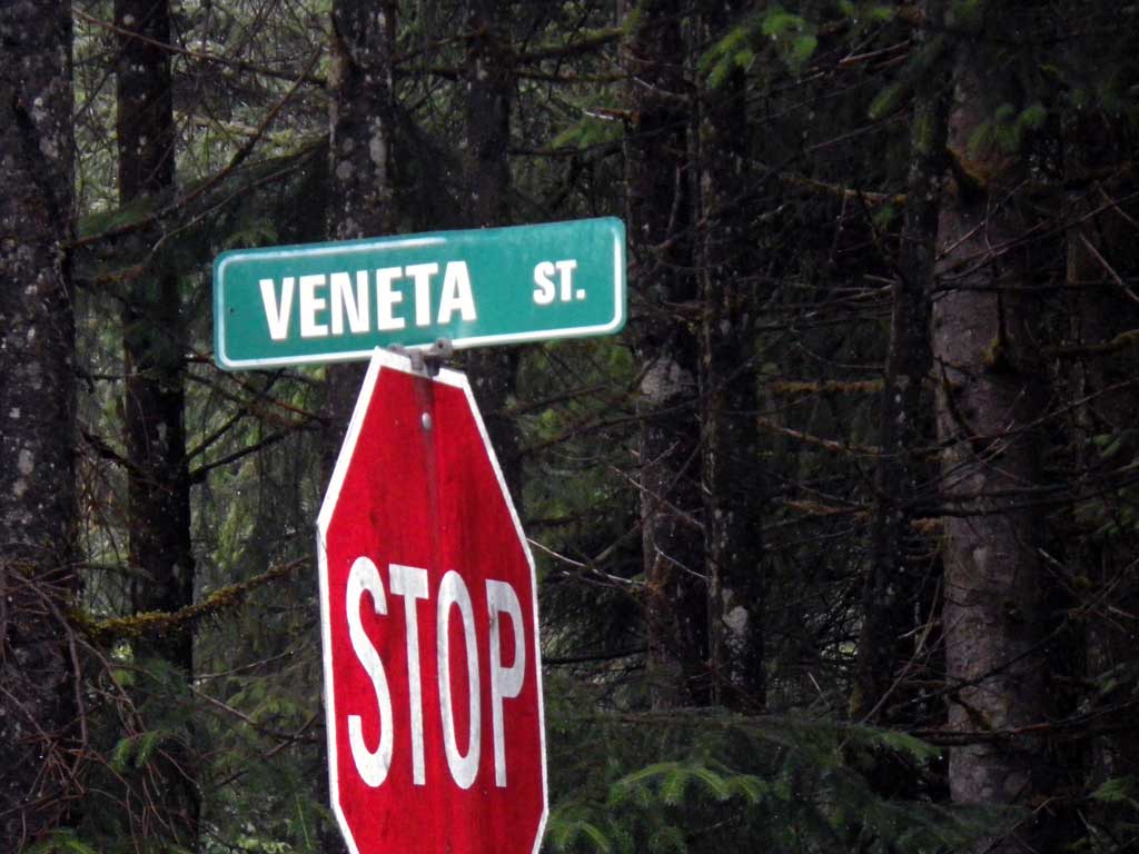
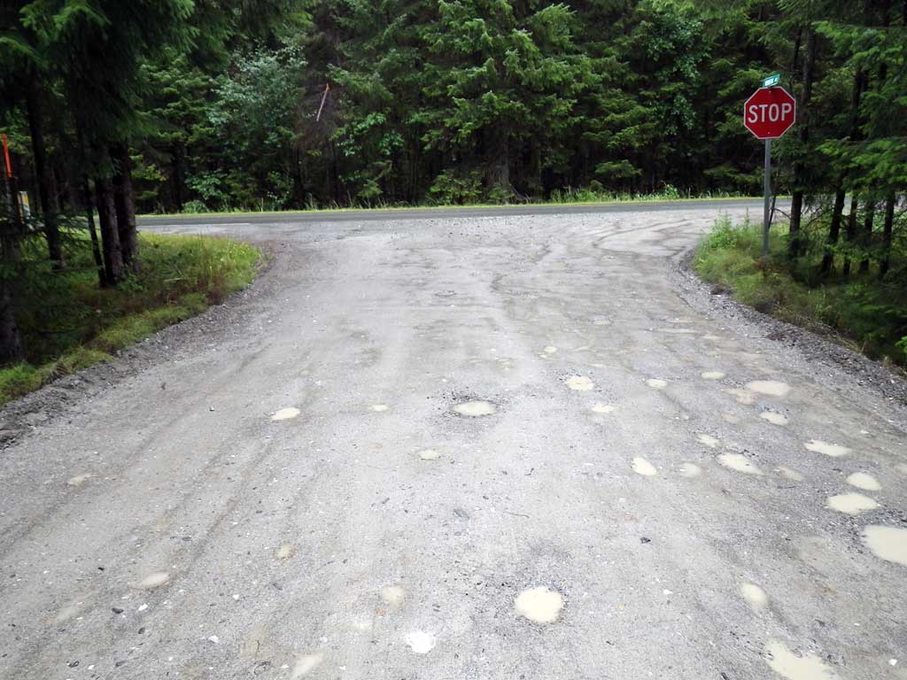
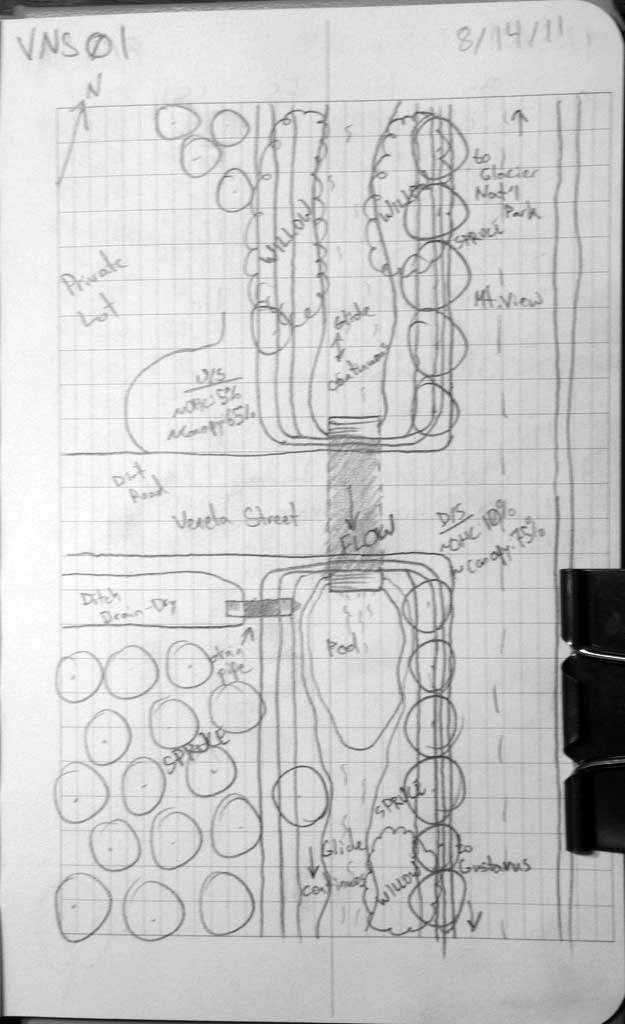
Road Name: Veneta Street
Datum: NAD83
Quad Name / ITM: Juneau B-6
AWC Stream #:
Stream Name: Good River
Elevation:
Site Comments: None
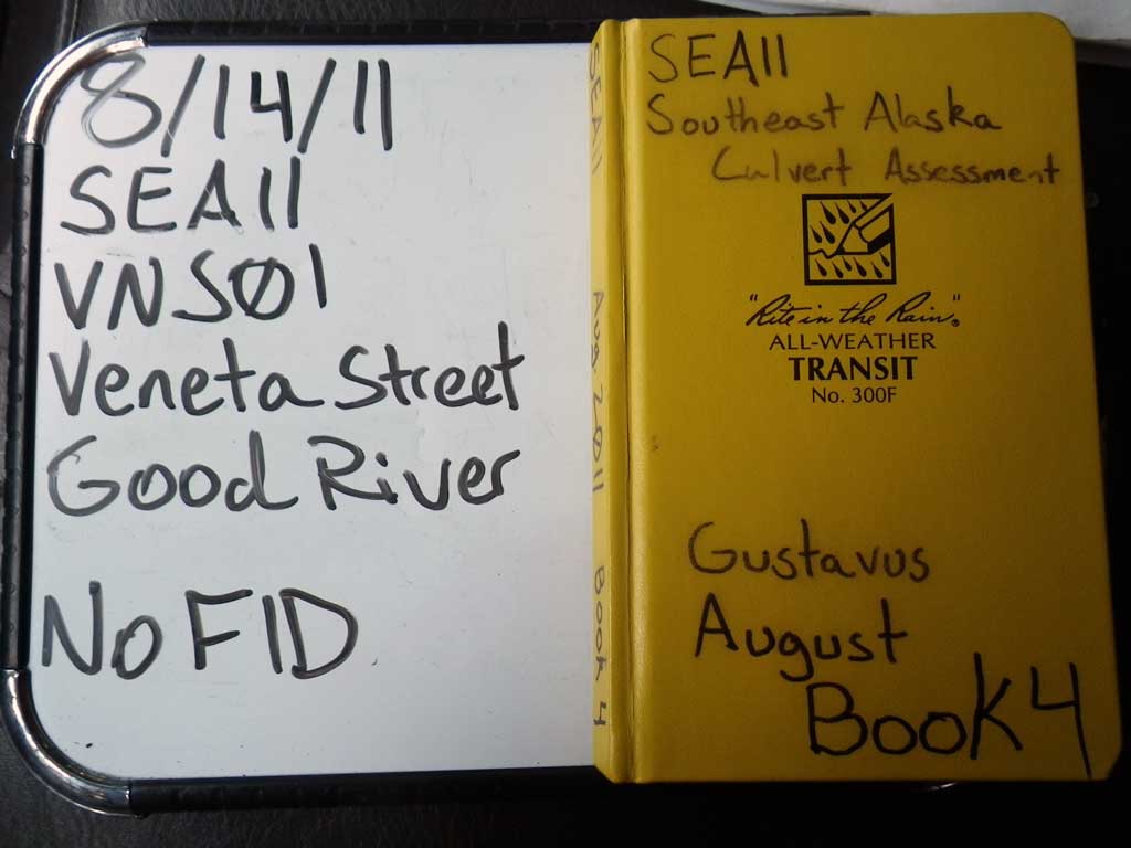
Survey SEA11-VNS01
Project Supervisor: Gillian O'Doherty, Alaska Department of Fish and Game
— Anchorage, AK
Observers: Jason Olds, Charmagne Gutierrez
Overall Fish Passage Rating:
Tidal: No
Backwatered: Yes
Step Pools: No
Construction Year:
Site Observations:
- Culvert gradient gray
- Constriction ratio red
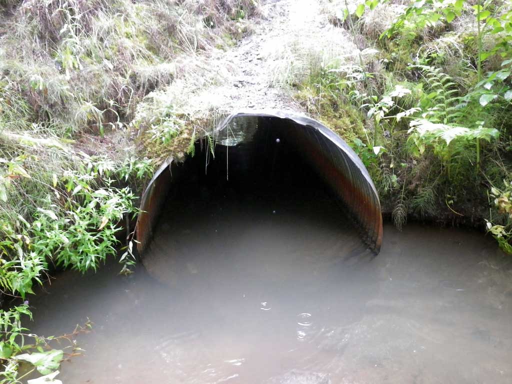
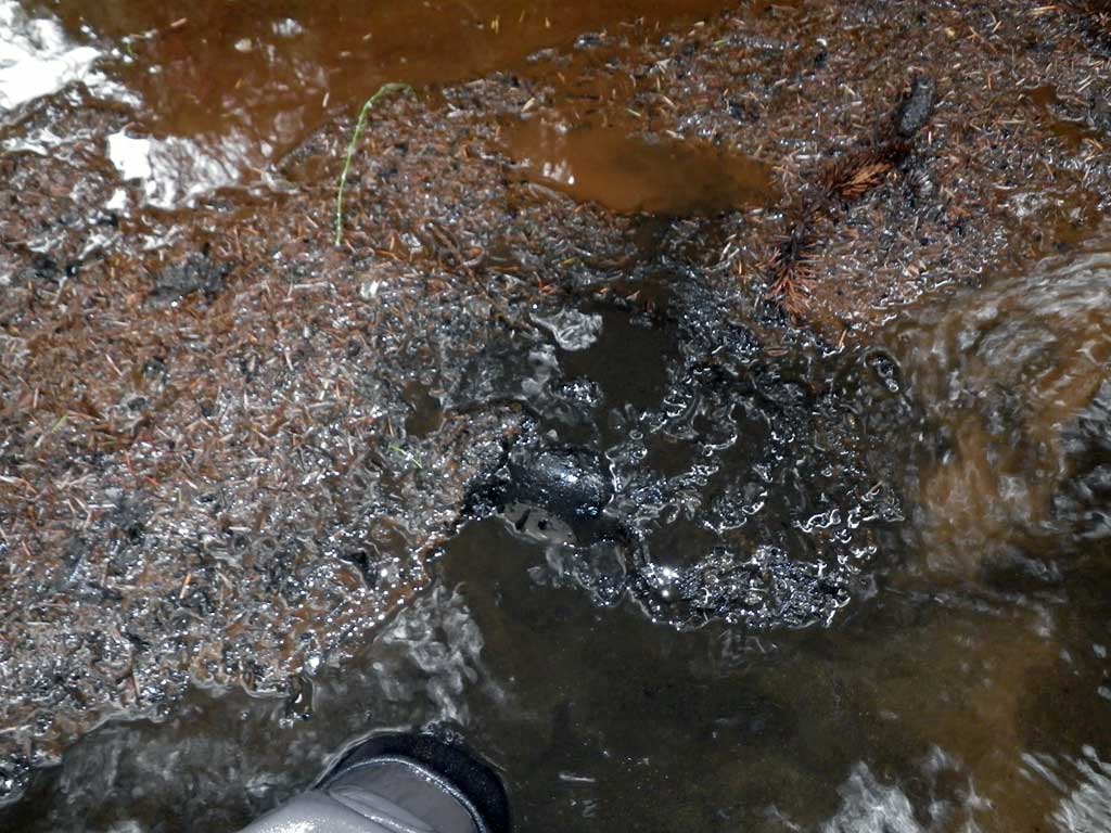
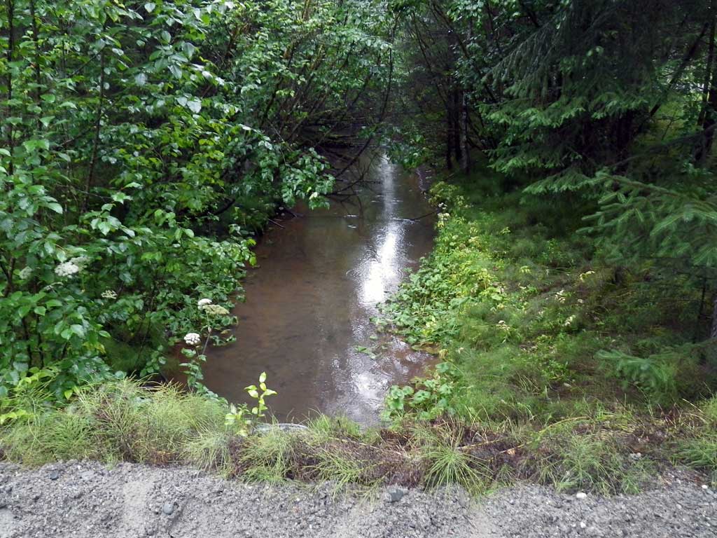
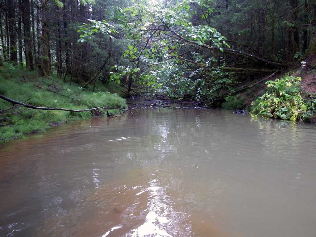
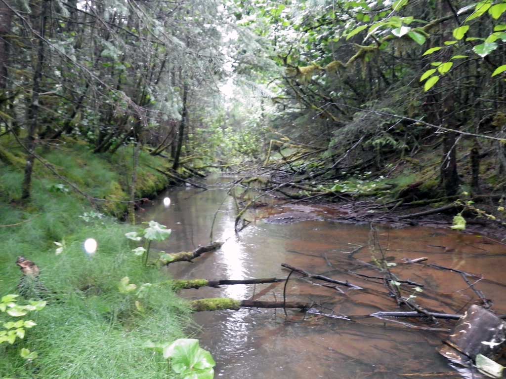
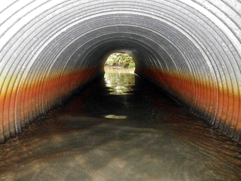
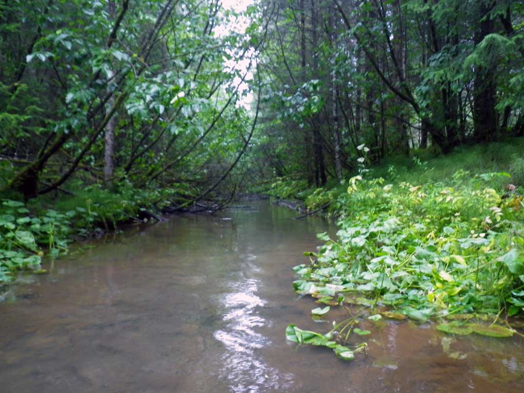
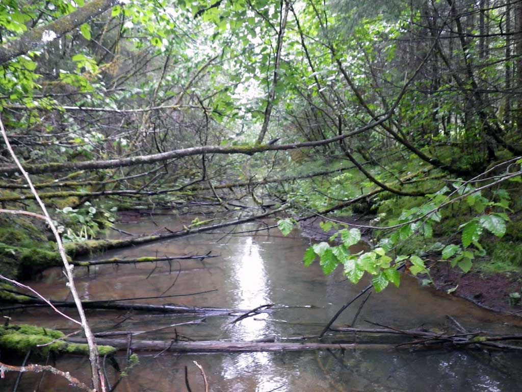
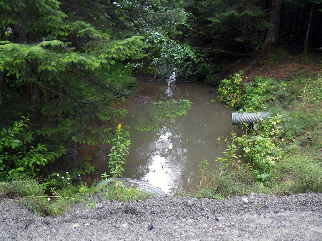
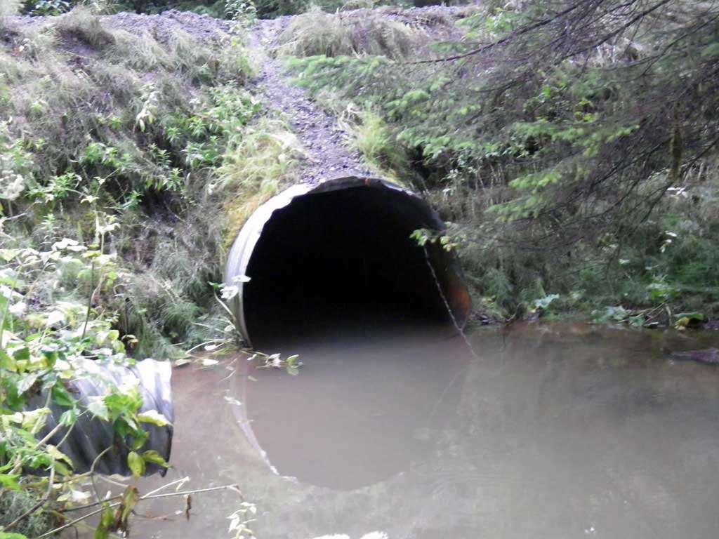
Comments: Headwall of unusual steel plate construction has long since ceased to function. Large outlet pool. No stream grade calculated as sightabillity is limited with dense foilage. Apparent even glide continuous upstream and downstream of culvert with near flatwater conditions.
Culvert Measurements
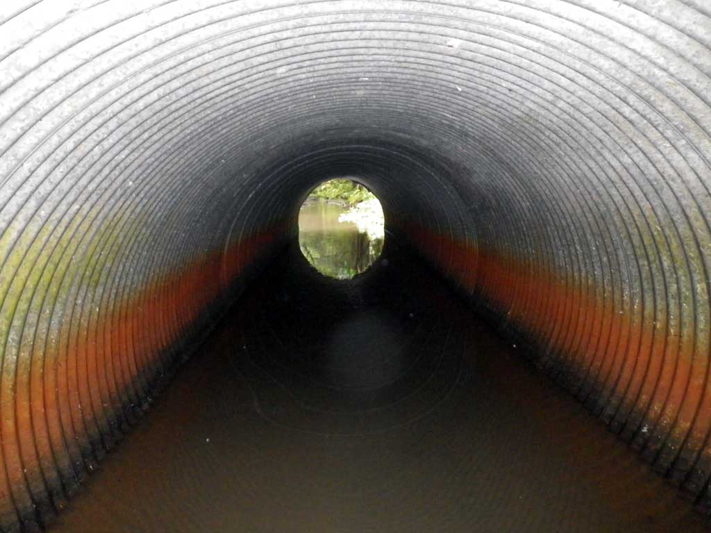
| ID: 1 | Structure Type: Circular pipe (Corrugated steel) | Fish Passage Rating: | |||||||||||||||||||||||||||||||||||||||||
|
|
|
|||||||||||||||||||||||||||||||||||||||||
Culvert Observations:
|
|||||||||||||||||||||||||||||||||||||||||||
Stream Measurements
|
|
| Stream Width Type | Distance From Crossing (ft) |
Stream Width (ft) |
|---|---|---|
| Upstream ordinary high water | 50.0 | 16.30 |
| Upstream ordinary high water | 100.0 | 13.20 |
| Upstream ordinary high water | 150.0 | 11.50 |
Elevations
| Locator ID | Culvert Number |
River Distance (ft)1 |
Distance From Crossing (ft)2 |
Relative Elevation (ft) |
|---|---|---|---|---|
| Road Elev | 104.60 | |||
| D/S Tailcrest or 1st Thalweg | 0.00 | 96.04 | ||
| D/S Water Surface Elev | 0.00 | 96.68 | ||
| Outlet Pool Water Elev | 27.00 | 96.68 | ||
| Max Pool Depth | 27.00 | 93.63 | ||
| D/S Water Surface Elev | 43.00 | 96.66 | ||
| Outlet Invert | 43.00 | 95.13 | ||
| Outlet Culvert Top | 43.00 | 100.51 | ||
| Inlet Culvert Top | 79.40 | 100.00 | ||
| U/S Headwater (1st resting) | 79.40 | 96.67 | ||
| Inlet Culvert Invert | 79.40 | 94.51 |
Notes:
- River distance is measured continuously throughout the survey reach along the thalweg of the stream.
- Measured from each end of the crossing along the thalweg of the stream.
Fish Sampling Efforts
| Gear Type: None (A) | ||
| Comments: No traps set no fish observed. | ||
Fish Observations
No fish observations occurred during this survey.
Photos
Questions or comments about this report can be directed to dfg.dsf.webmaster@alaska.gov