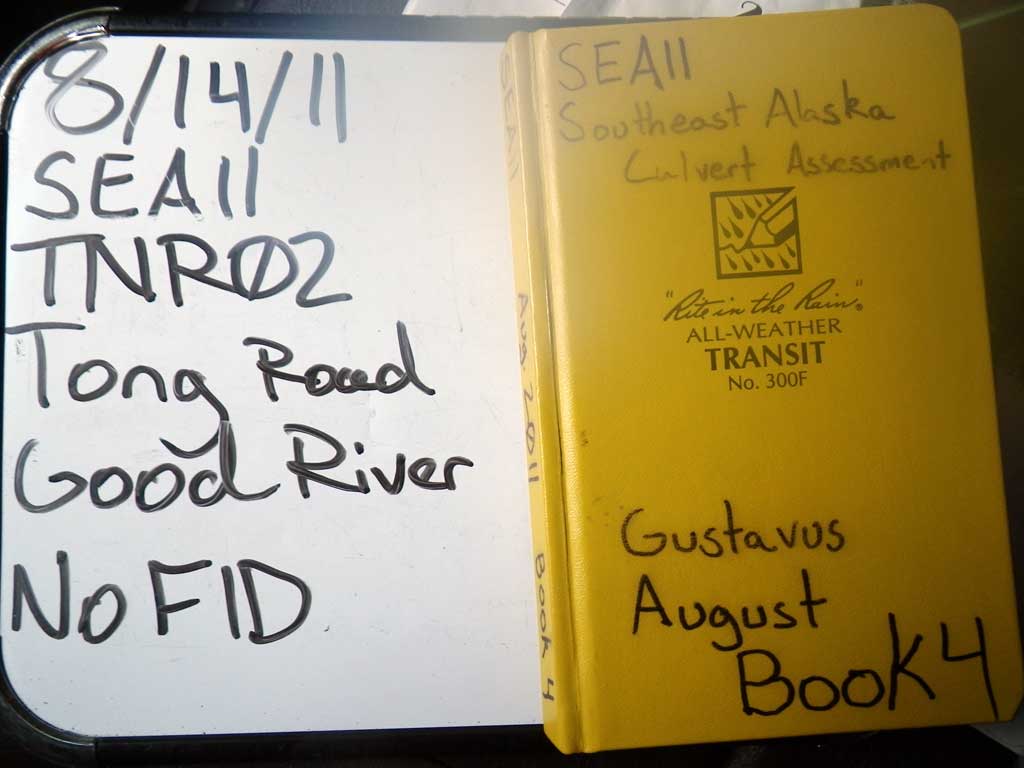
Fish Passage Site 10302256
Coordinates (dec. deg.): 58.42723°, -135.75864°
Legal Description: C040S058E01
Region: Southeast
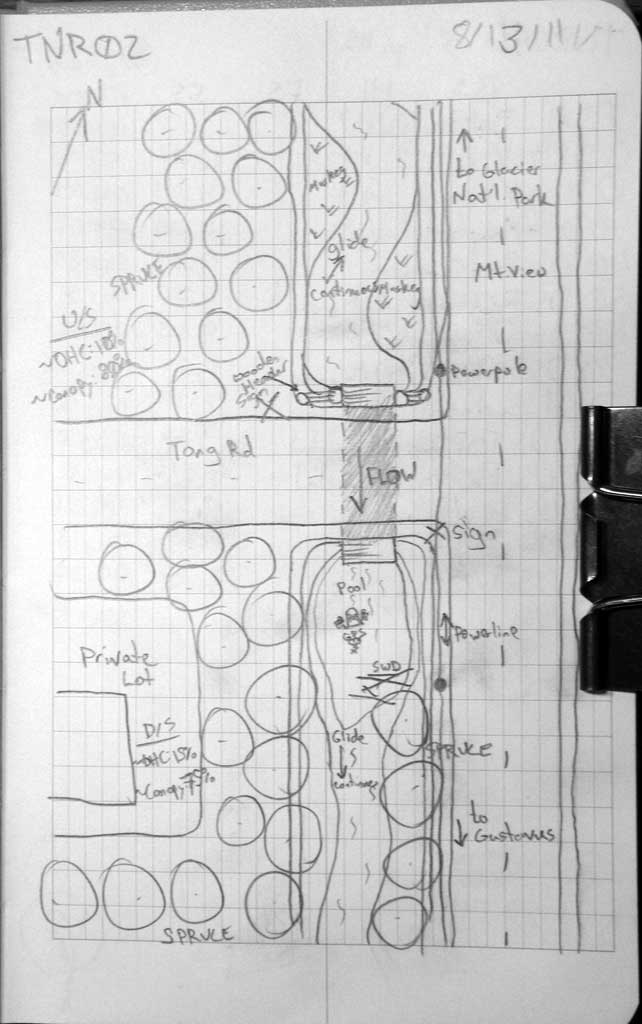
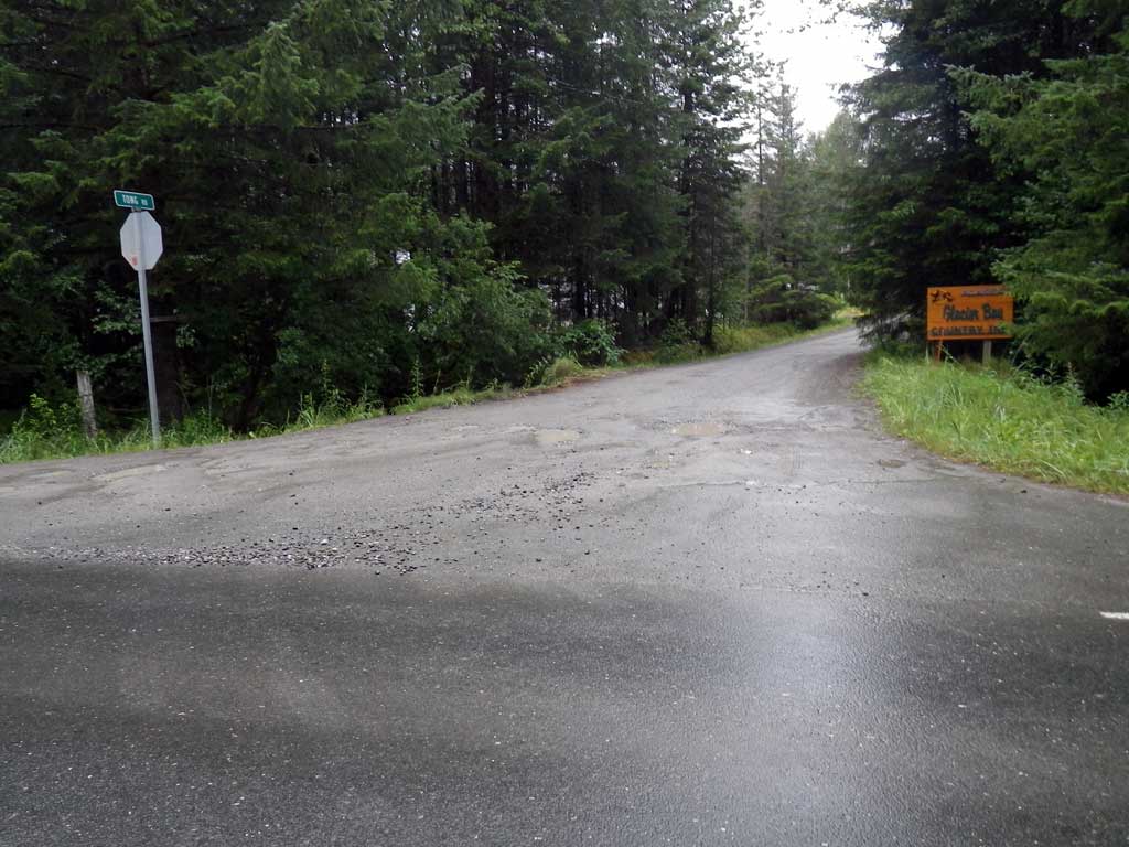
Road Name: Tong Road
Datum: NAD83
Quad Name / ITM: Juneau B-6
AWC Stream #:
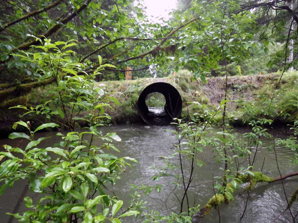
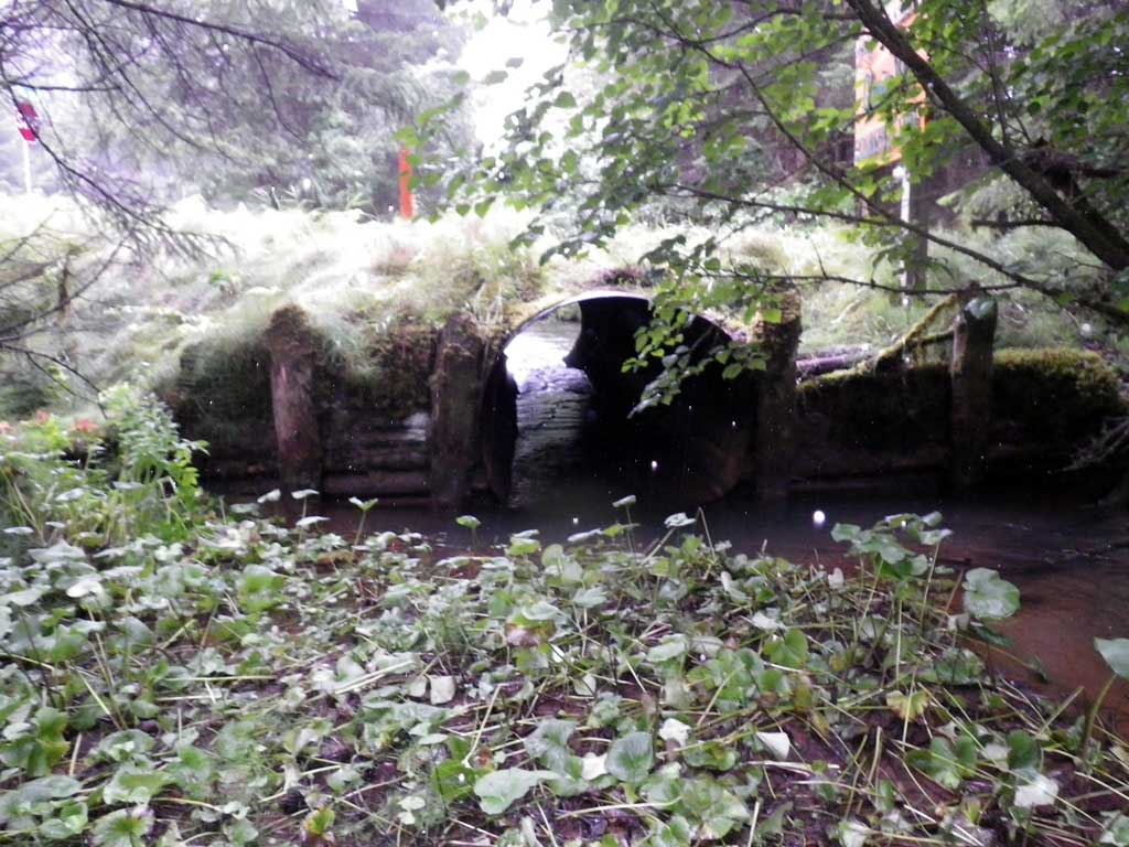
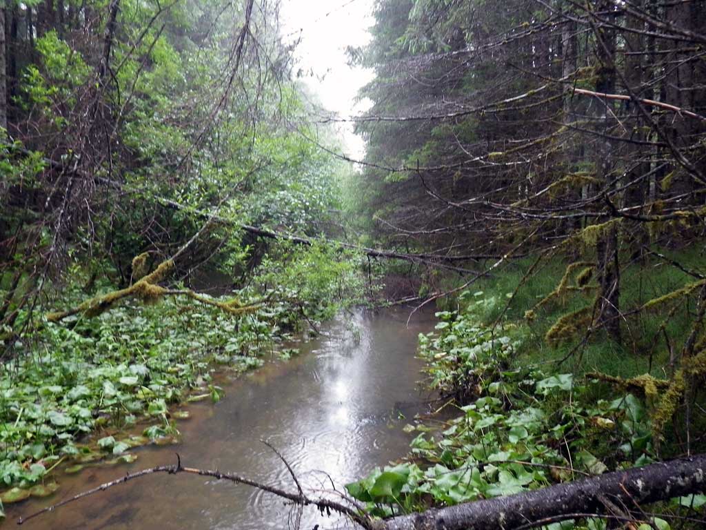
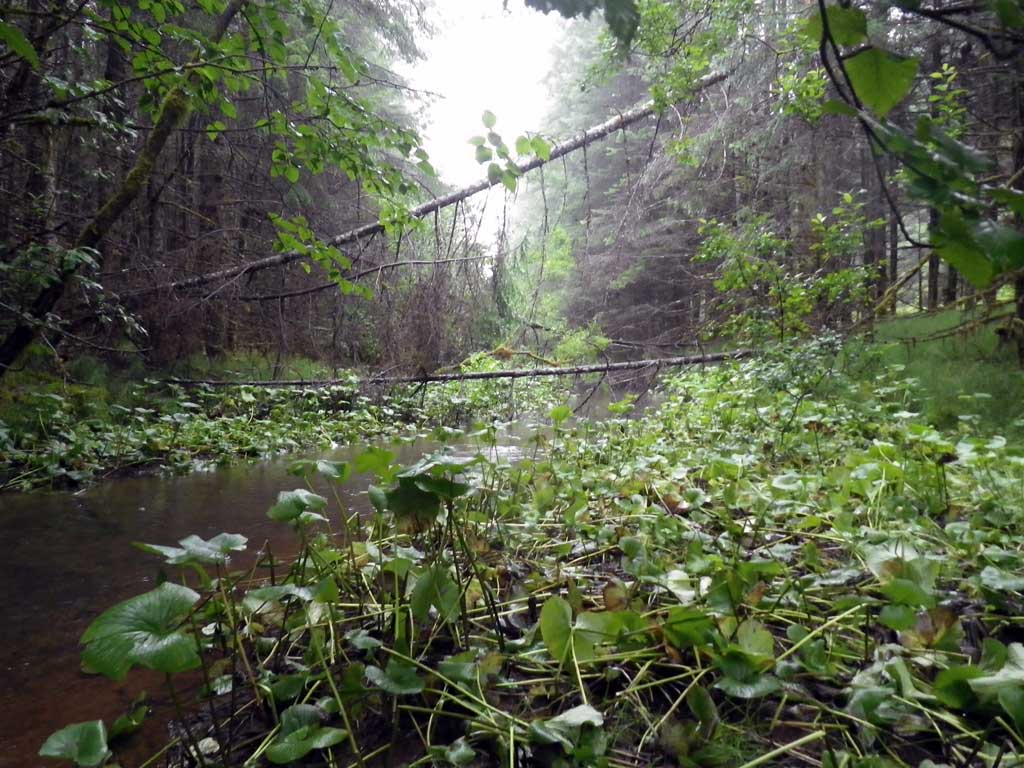
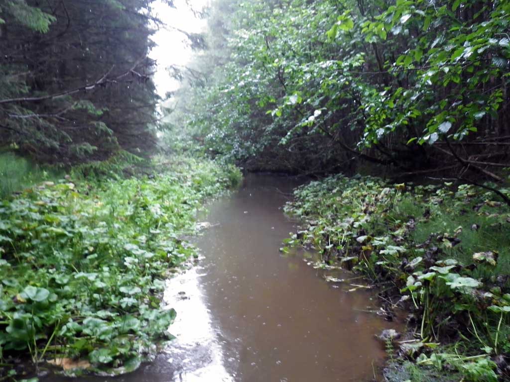
Stream Name: Good River
Elevation:
Site Comments: None
arrow to the right of the survey date below to choose a different report for this site.
Survey SEA11-TNR02
Project Supervisor: Gillian O'Doherty, Alaska Department of Fish and Game
— Anchorage, AK
Observers: Jason Olds, Charmagne Gutierrez
Overall Fish Passage Rating:
Tidal: No
Backwatered: No
Step Pools: No
Construction Year:
Site Observations:
- Constriction ratio gray
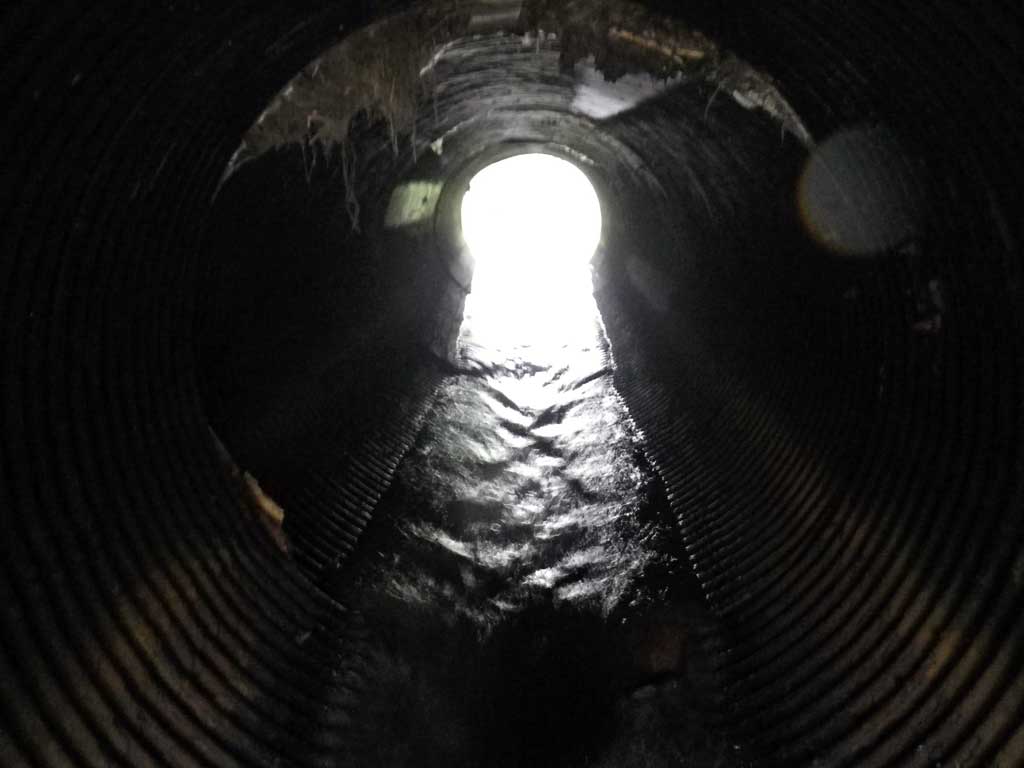
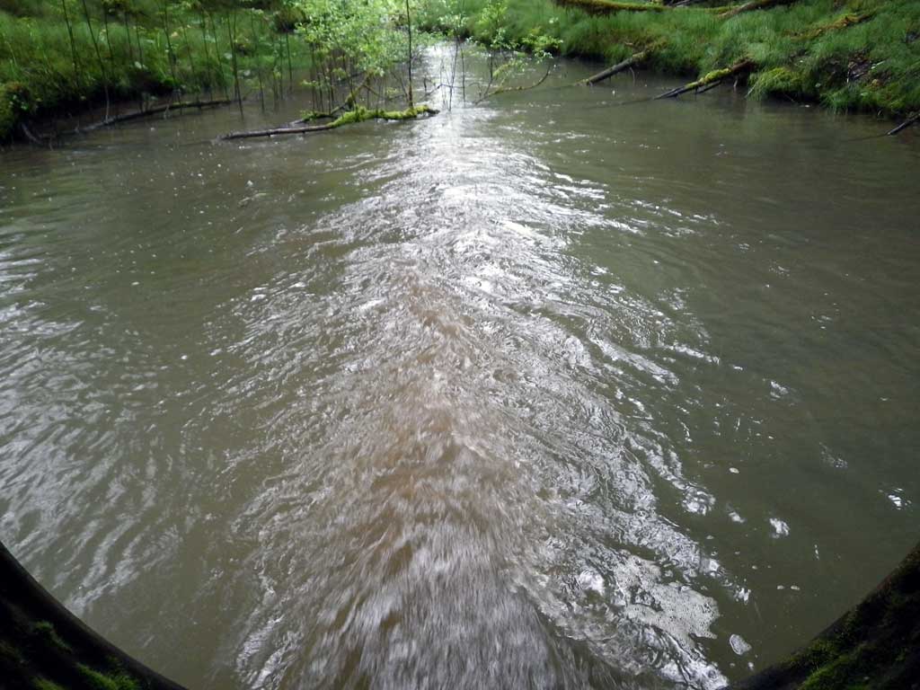
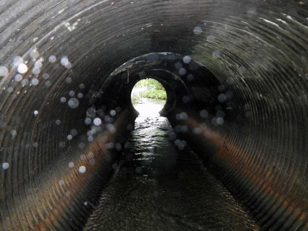
Comments: Likely freefall to pool at lower water levels. No stream grade calculated due to insufficient and limited sighting through foilage.
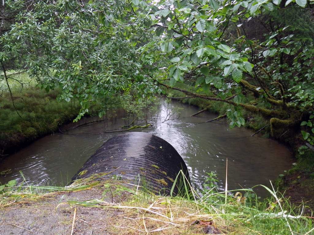
Culvert Measurements
| ID: 1 | Structure Type: Circular pipe (Structural steel plate) | Fish Passage Rating: | |||||||||||||||||||||||||||||||||||||||||
|
|
|
|||||||||||||||||||||||||||||||||||||||||
Culvert Observations:
|
|||||||||||||||||||||||||||||||||||||||||||
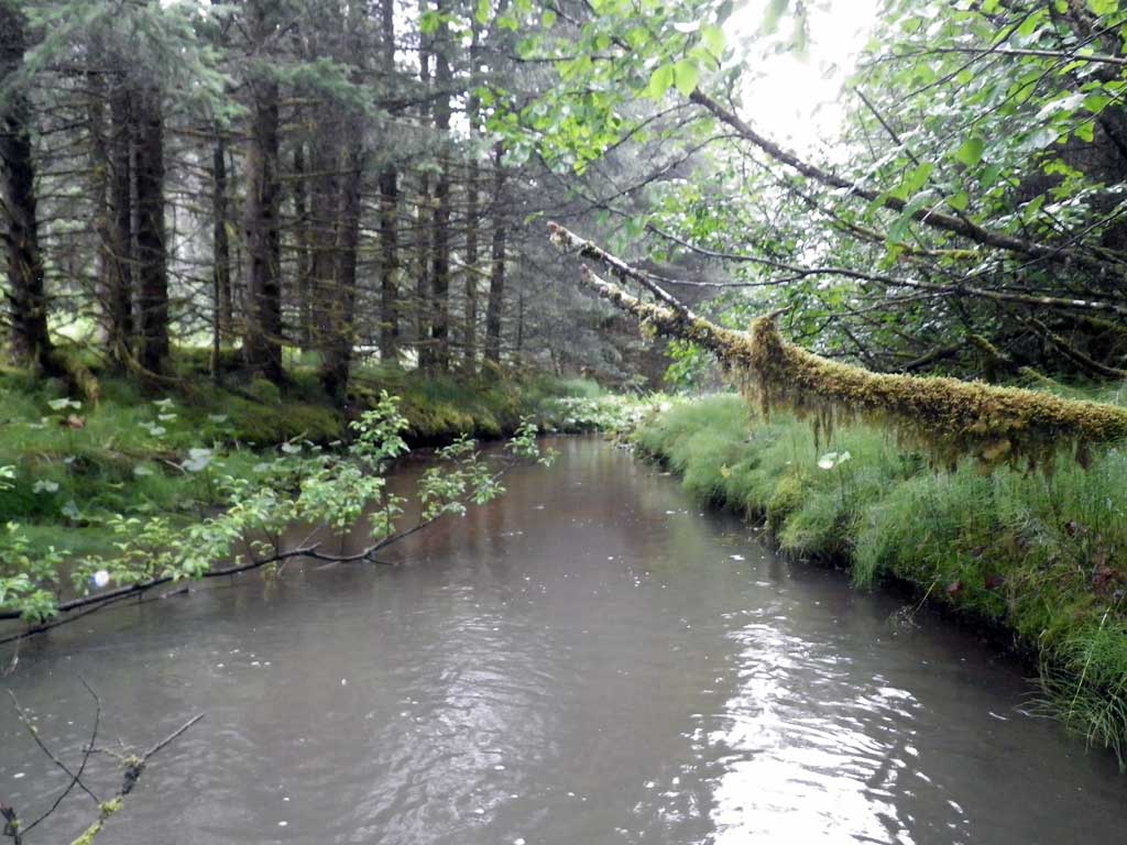
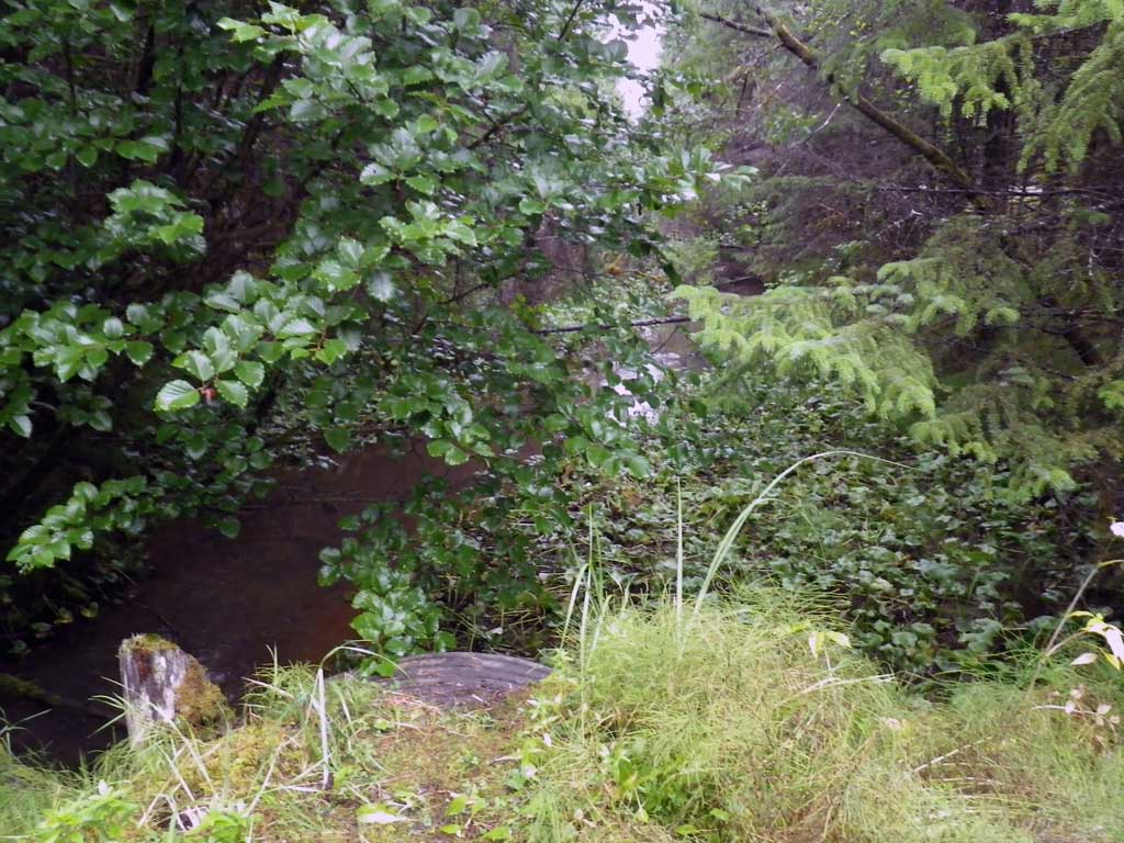
Stream Measurements
|
|
| Stream Width Type | Distance From Crossing (ft) |
Stream Width (ft) |
|---|---|---|
| Upstream ordinary high water | 50.0 | 8.90 |
| Upstream ordinary high water | 100.0 | 10.00 |
| Upstream ordinary high water | 150.0 | 9.50 |
Elevations
| Locator ID | Culvert Number |
River Distance (ft)1 |
Distance From Crossing (ft)2 |
Relative Elevation (ft) |
|---|---|---|---|---|
| Road Elev | 101.35 | |||
| D/S Tailcrest or 1st Thalweg | 0.00 | 92.95 | ||
| D/S Water Surface Elev | 0.00 | 94.64 | ||
| Outlet Pool Water Elev | 40.00 | 94.59 | ||
| Max Pool Depth | 40.00 | 89.61 | ||
| Outlet Invert | 50.00 | 94.31 | ||
| D/S Water Surface Elev | 50.00 | 94.62 | ||
| Outlet Culvert Top | 50.00 | 100.38 | ||
| Inlet Culvert Top | 95.10 | 100.01 | ||
| U/S Headwater (Invert In) | 95.10 | 95.31 | ||
| Inlet Culvert Invert | 95.10 | 94.16 | ||
| U/S Grade Ctrl (Thalweg) | 112.00 | 94.98 | ||
| U/S Water Surface Elev | 112.00 | 95.32 |
Notes:
- River distance is measured continuously throughout the survey reach along the thalweg of the stream.
- Measured from each end of the crossing along the thalweg of the stream.
Fish Sampling Efforts
| Gear Type: None (A) | ||
| Comments: No traps set no fish observed. | ||
Fish Observations
No fish observations occurred during this survey.
Photos
Questions or comments about this report can be directed to dfg.dsf.webmaster@alaska.gov