Fish Passage Site 10302255
Coordinates (dec. deg.): 58.42498°, -135.75792°
Legal Description: C040S058E12
Region: Southeast
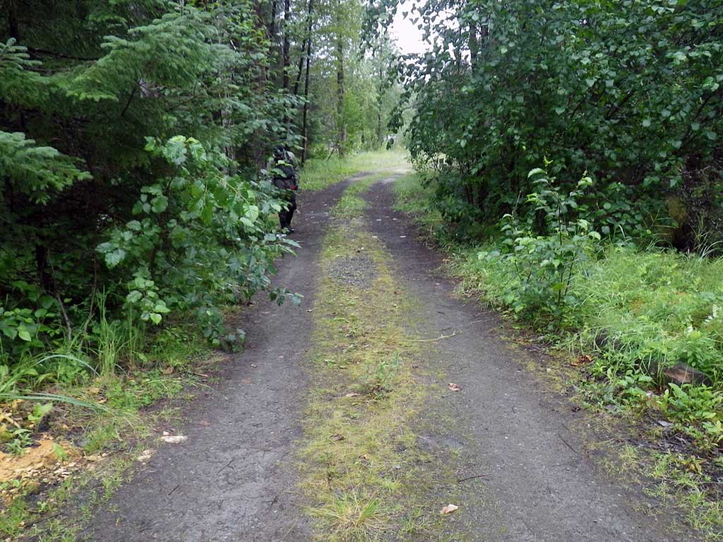
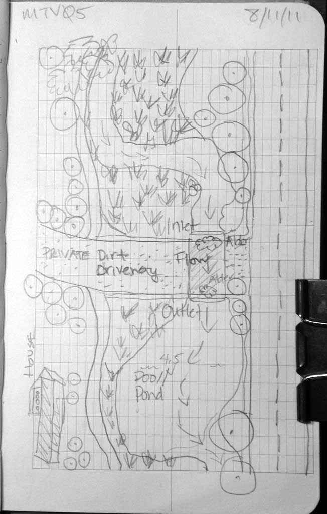
Road Name: Mountain View Road
Datum: NAD83
Quad Name / ITM: Juneau B-6
AWC Stream #:
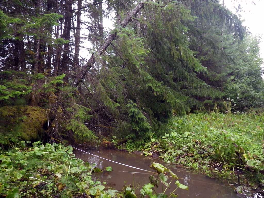
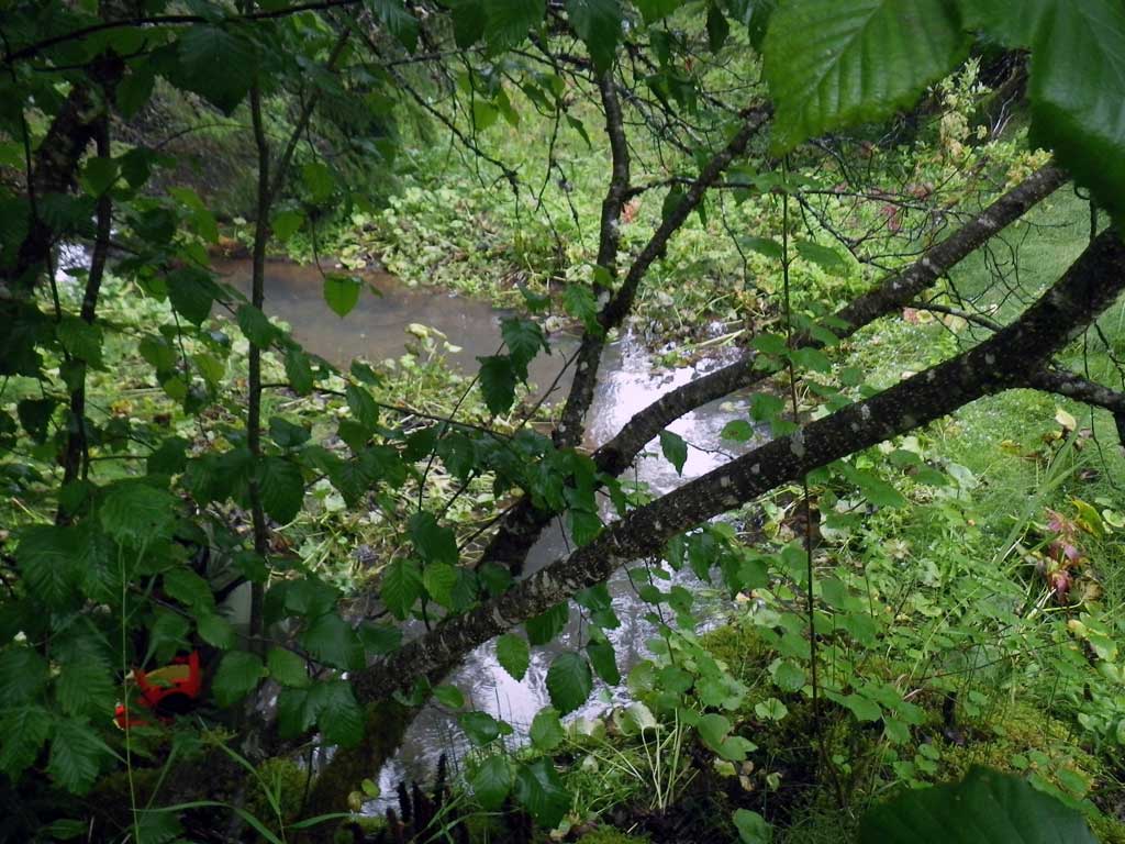
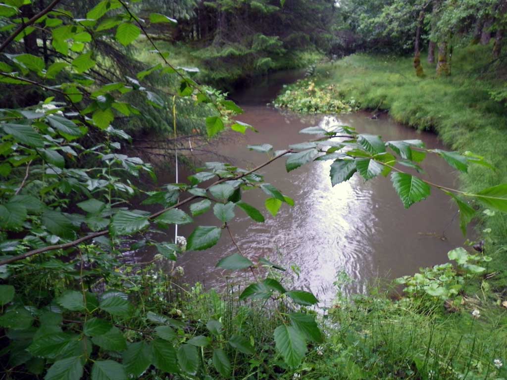
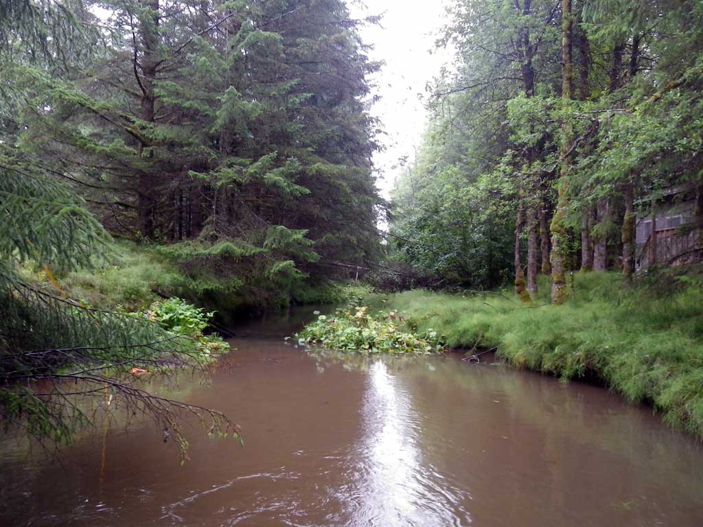
Stream Name: Good River
Elevation:
Site Comments: Private drive adjacent Mt. View road.
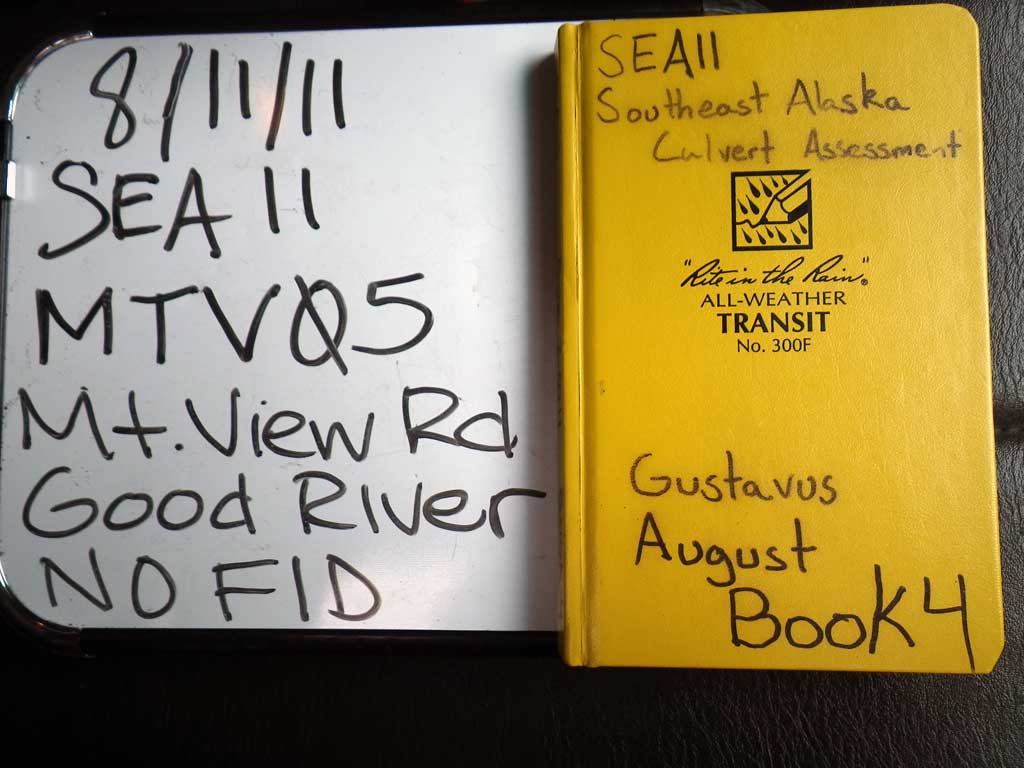
Survey SEA11-MTV05
Project Supervisor: Gillian O'Doherty, Alaska Department of Fish and Game
— Anchorage, AK
Observers: Jason Olds, Charmagne Gutierrez
Overall Fish Passage Rating:
Tidal: No
Backwatered: No
Step Pools: No
Construction Year:
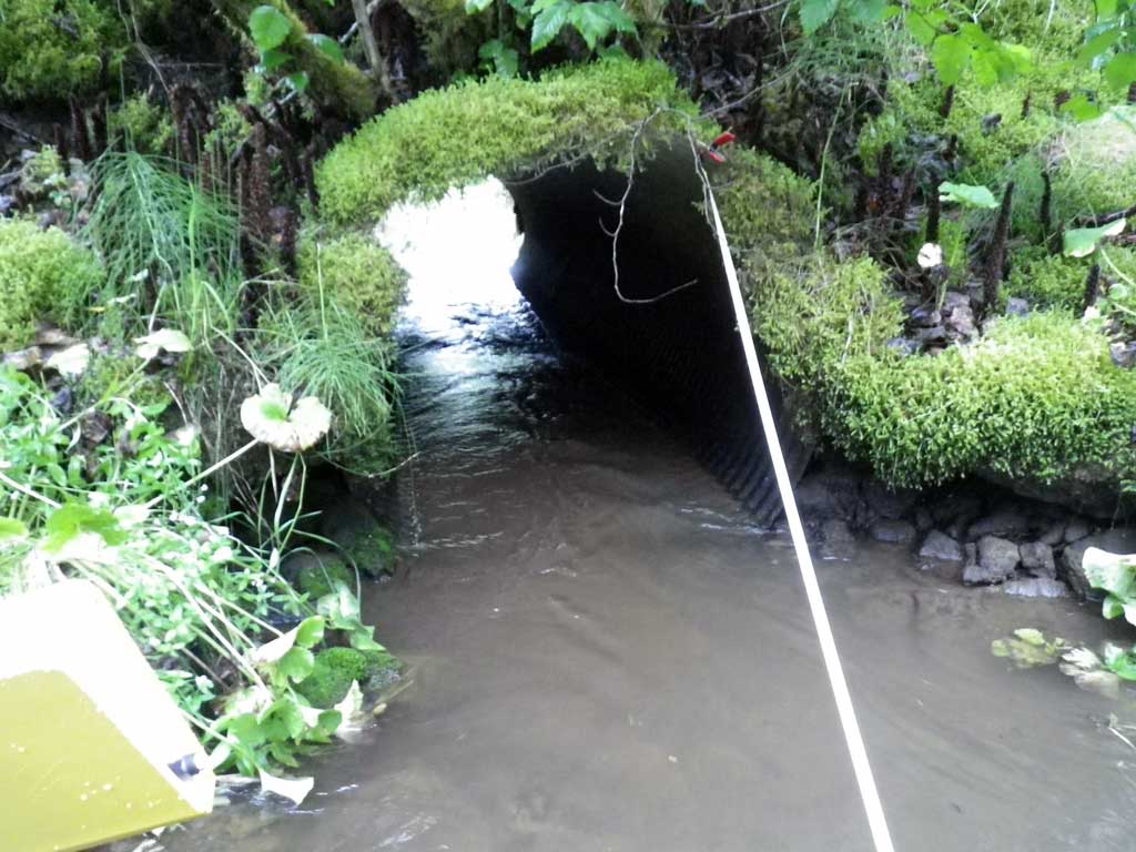
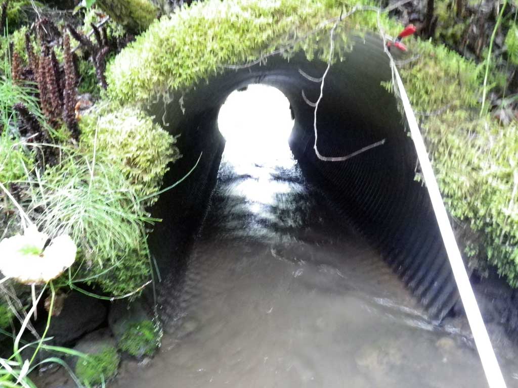
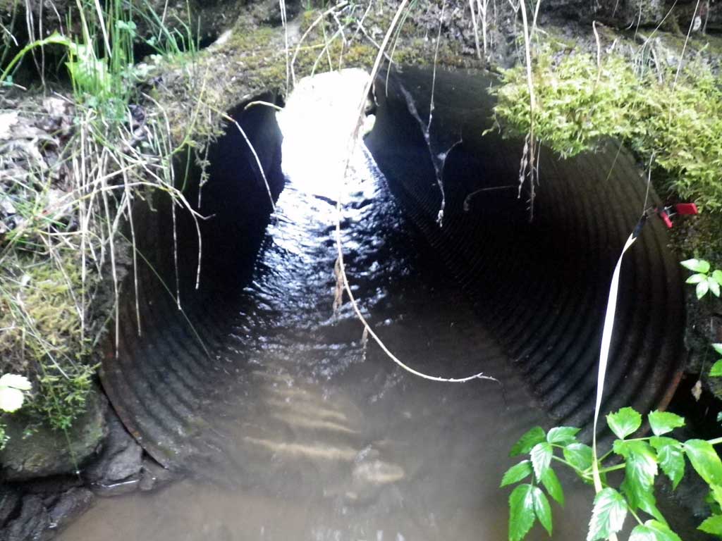
Site Observations:
- Constriction ratio red
- Culvert is too short
- Hydraulic flows exceeded capacity
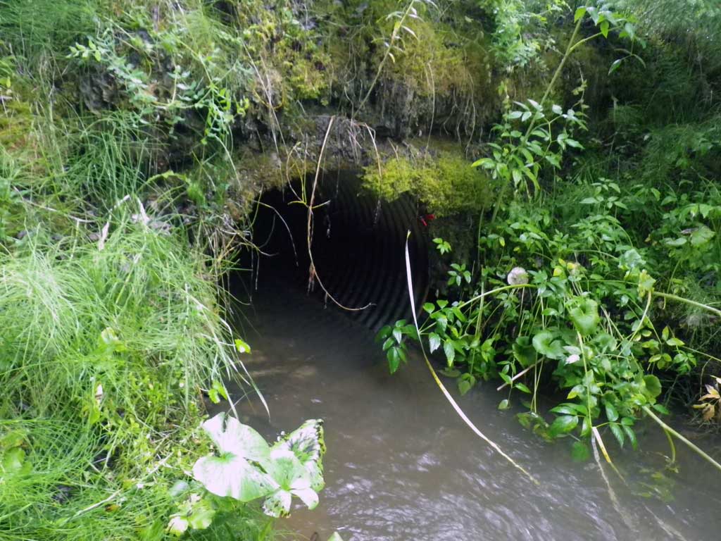
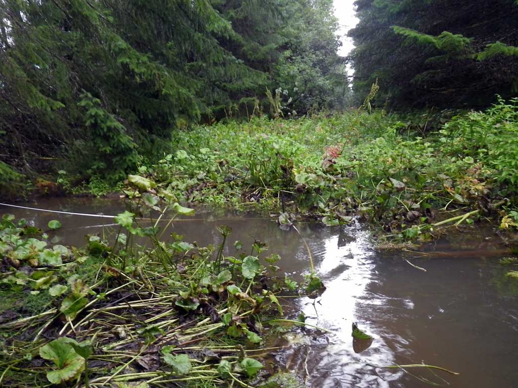
Comments: No fish observed or traps set as stream is already in the AWC. Deep pool at outlet.
Culvert Measurements
| ID: 1 | Structure Type: Circular pipe (Corrugated steel) | Fish Passage Rating: | |||||||||||||||||||||||||||||||||||||||||
|
|
|
|||||||||||||||||||||||||||||||||||||||||
Culvert Observations:
|
|||||||||||||||||||||||||||||||||||||||||||
Stream Measurements
|
|
| Stream Width Type | Distance From Crossing (ft) |
Stream Width (ft) |
|---|---|---|
| Upstream ordinary high water | 100.0 | 10.40 |
| Upstream ordinary high water | 225.0 | 10.90 |
| Upstream ordinary high water | 280.0 | 8.90 |
Elevations
| Locator ID | Culvert Number |
River Distance (ft)1 |
Distance From Crossing (ft)2 |
Relative Elevation (ft) |
|---|---|---|---|---|
| Road Elev | 97.24 | |||
| D/S Tailcrest or 1st Thalweg | 0.00 | 90.92 | ||
| D/S Water Surface Elev | 0.00 | 91.60 | ||
| Outlet Pool Water Elev | 30.00 | 91.64 | ||
| Max Pool Depth | 30.00 | 87.54 | ||
| D/S Water Surface Elev | 47.00 | 91.62 | ||
| Outlet Invert | 47.00 | 91.12 | ||
| Inlet Culvert Invert | 67.70 | 91.13 | ||
| U/S Water Surface Elev | 67.70 | 91.83 | ||
| U/S Headwater | 70.00 | 91.93 | ||
| U/S Water Surface Elev | 96.00 | 91.90 | ||
| U/S Water Surface Elev | 365.00 | 92.08 |
Notes:
- River distance is measured continuously throughout the survey reach along the thalweg of the stream.
- Measured from each end of the crossing along the thalweg of the stream.
Fish Sampling Efforts
| Gear Type: None (A) | ||
| Comments: No traps set no fish observed. | ||
Fish Observations
No fish observations occurred during this survey.
Photos
Questions or comments about this report can be directed to dfg.dsf.webmaster@alaska.gov