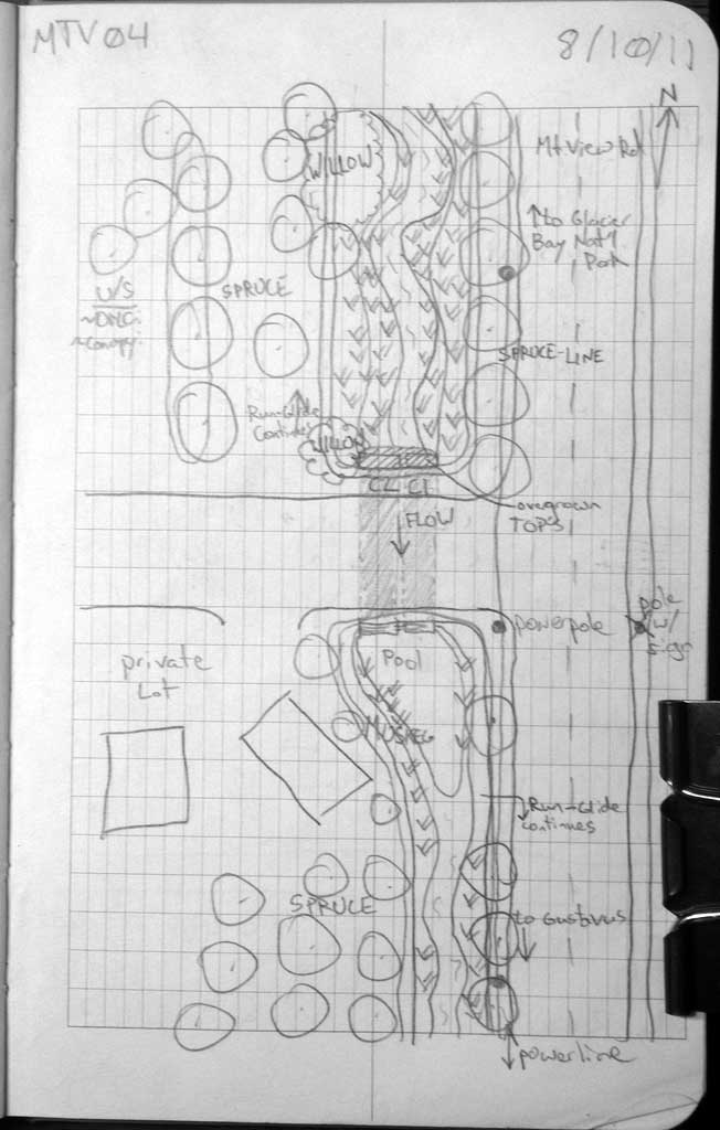
Fish Passage Site 10302253
Coordinates (dec. deg.): 58.41994°, -135.75589°
Legal Description: C040S058E12
Region: Southeast
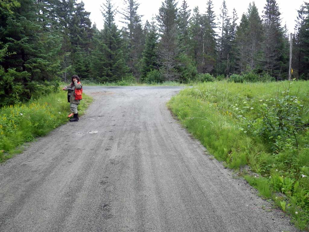
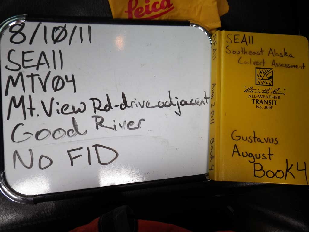
Road Name: Mountain View Road
Datum: NAD83
Quad Name / ITM: Juneau B-6
AWC Stream #:
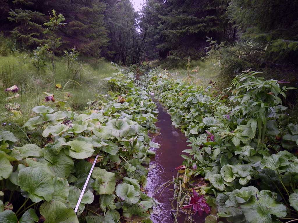
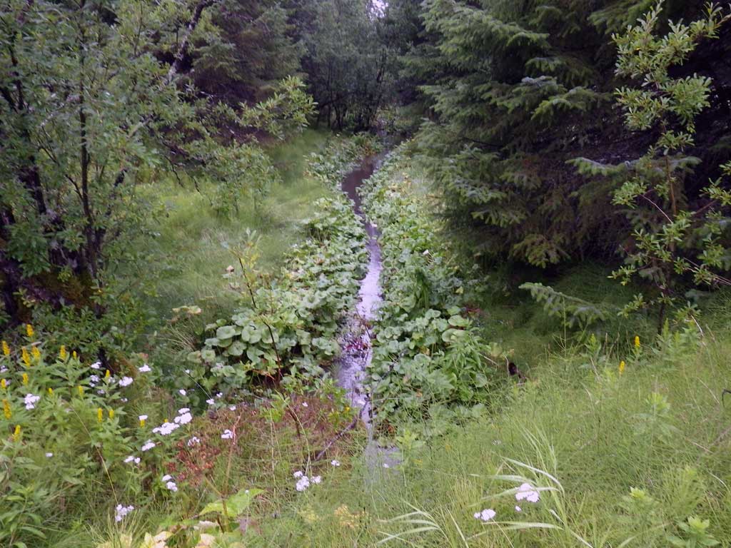
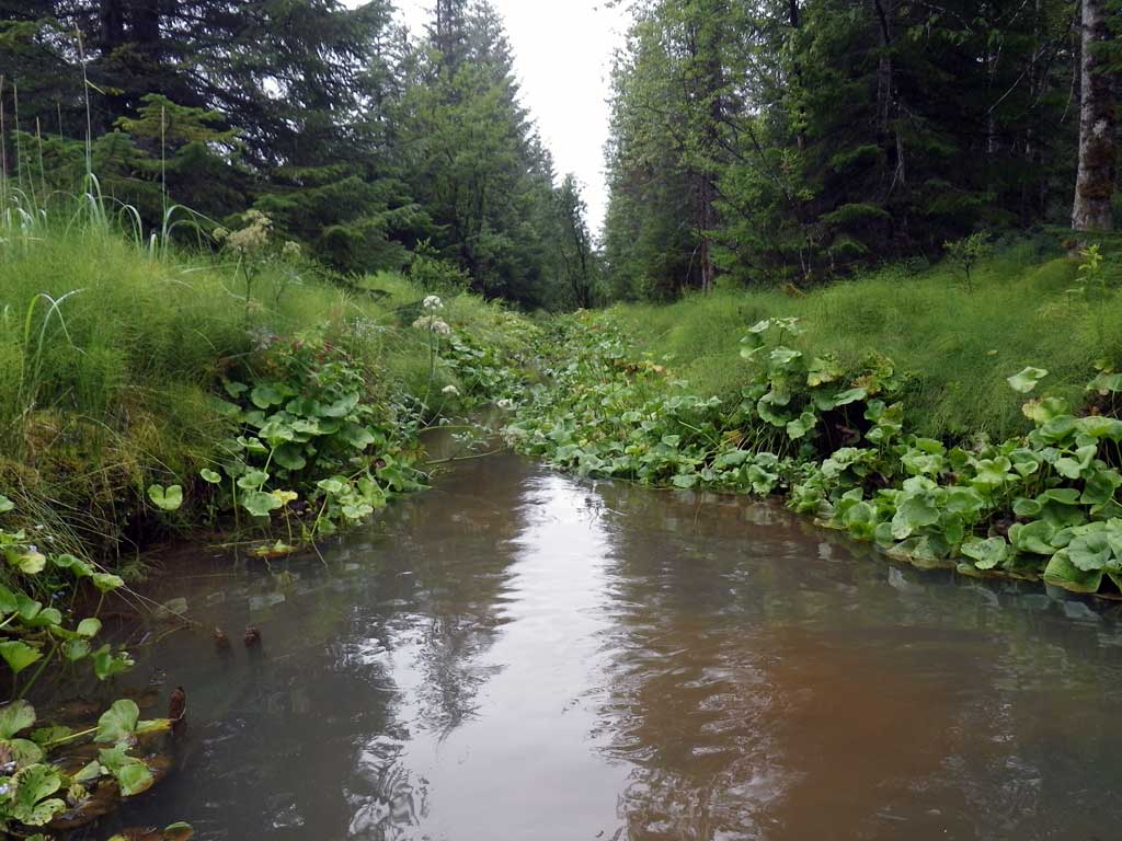
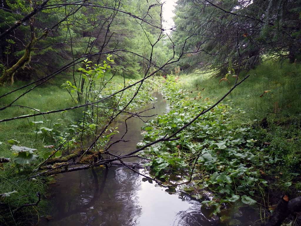
Stream Name: Good River
Elevation:
Site Comments: Driveway off of Mountain View Road.
Survey SEA11-MTV04
Project Supervisor: Gillian O'Doherty, Alaska Department of Fish and Game
— Anchorage, AK
Observers: Jason Olds, Charmagne Gutierrez
Overall Fish Passage Rating:
Tidal: No
Backwatered: Yes
Step Pools: No
Construction Year:
Site Observations:
- Constriction ratio gray
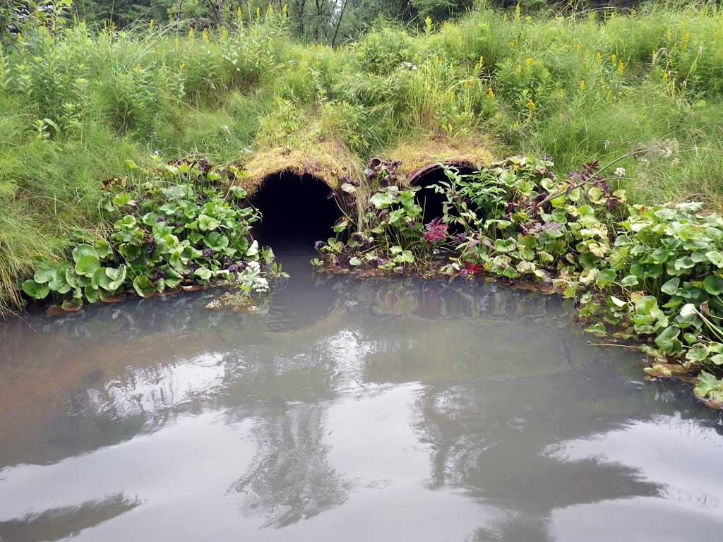
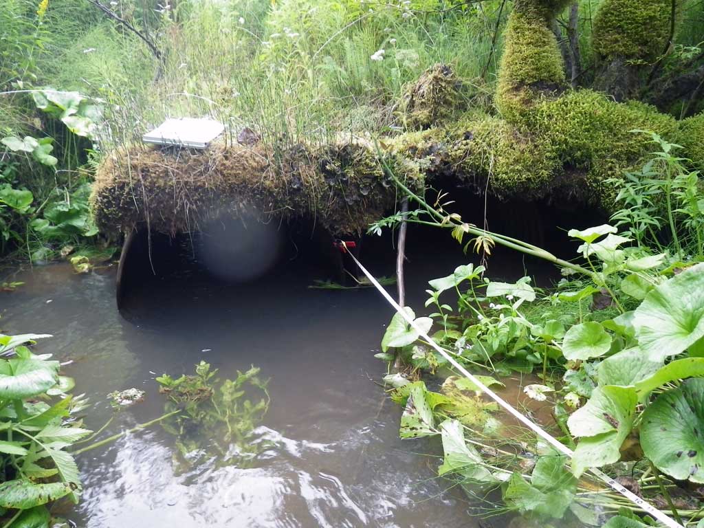
Comments: No traps set as stream is already in the AWC. Continuous glide upstream and downstream of culvert.
Culvert Measurements
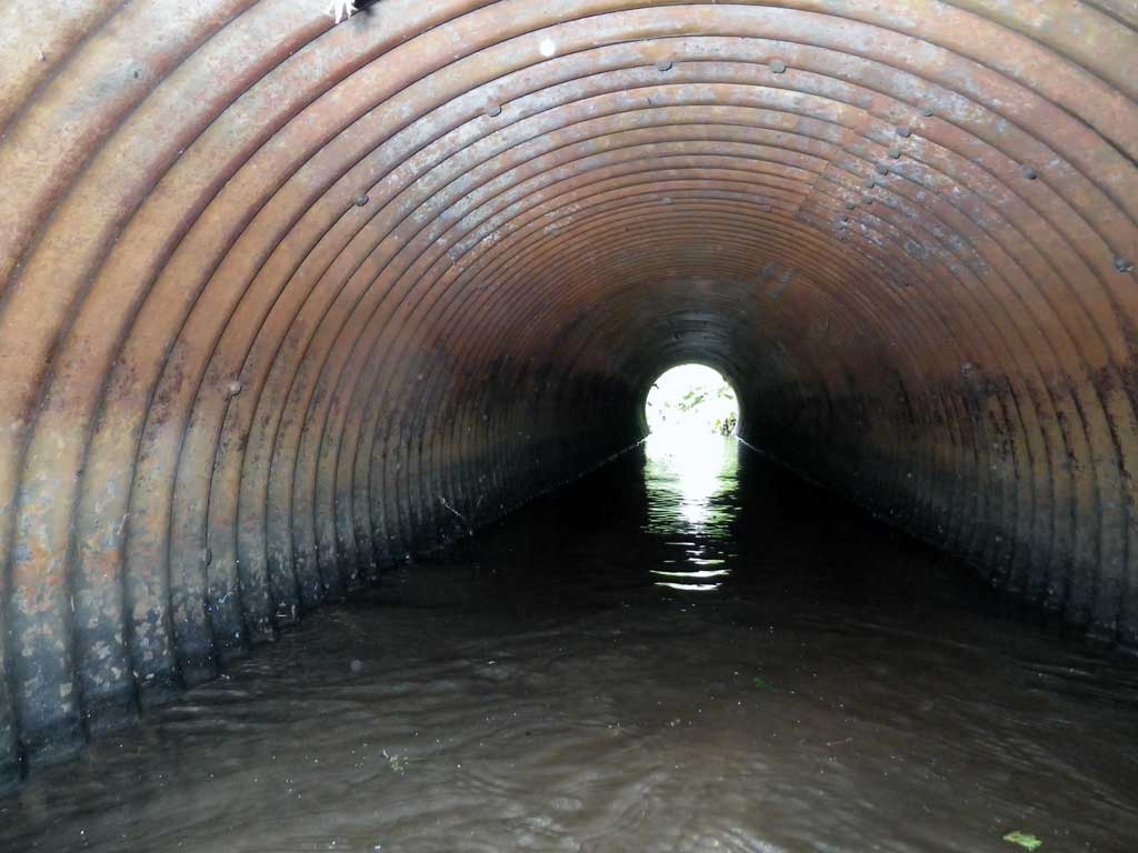
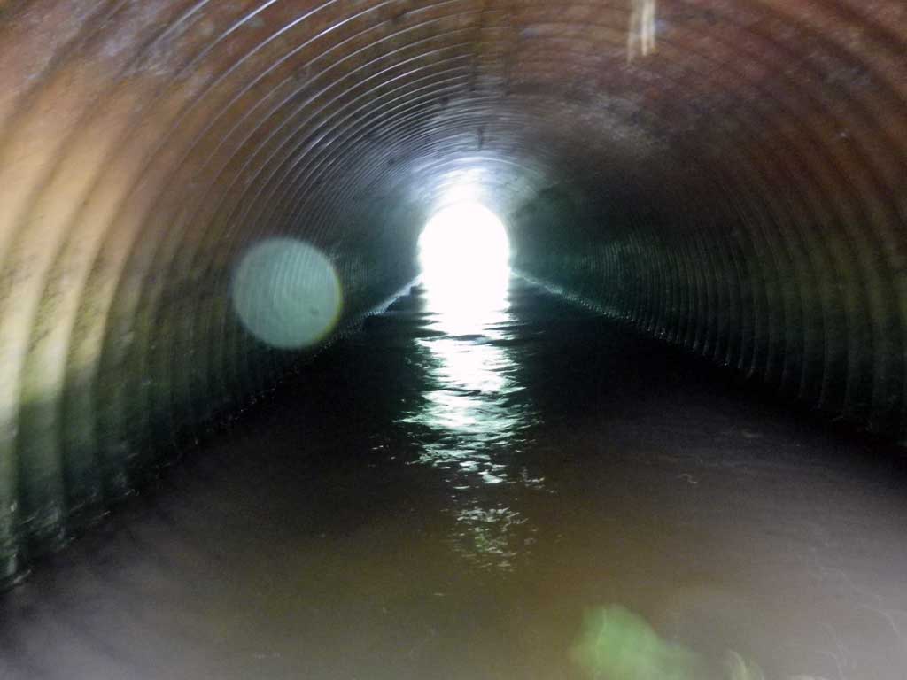
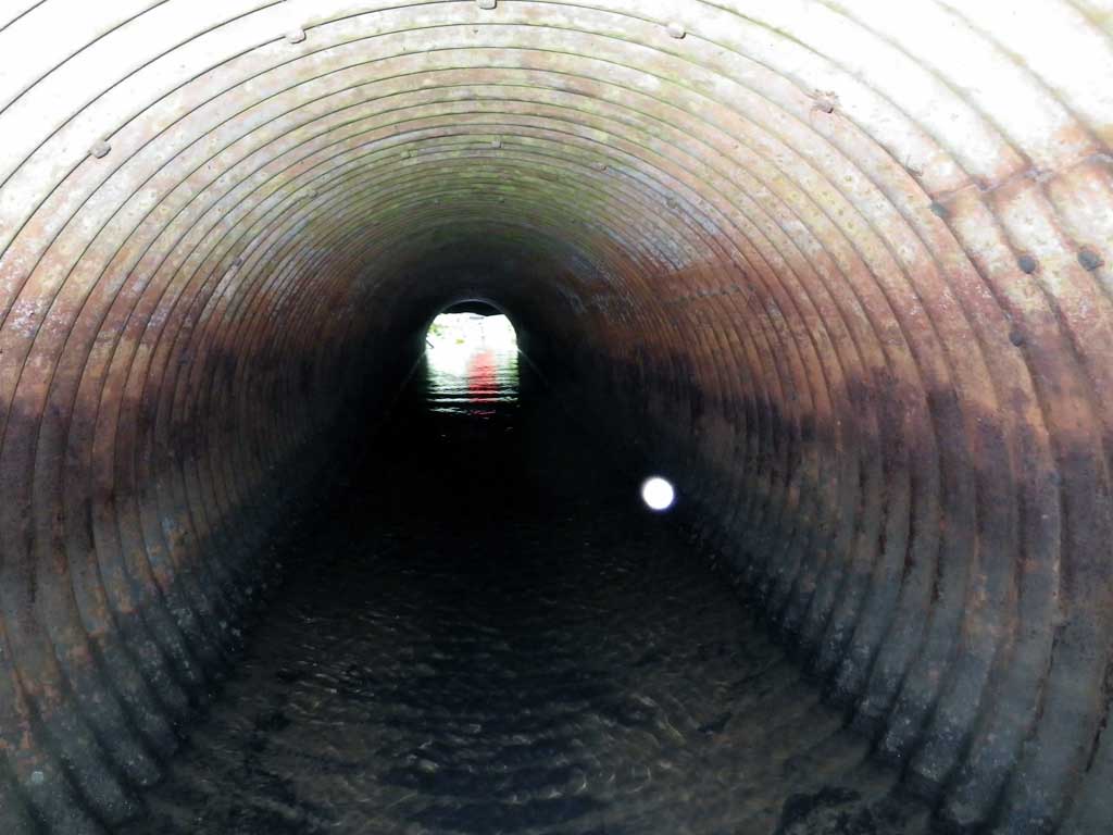
| ID: 1 | Structure Type: Circular pipe (Corrugated steel) | Fish Passage Rating: | |||||||||||||||||||||||||||||||||||||||||
|
|
|
|||||||||||||||||||||||||||||||||||||||||
Culvert Observations:
|
|||||||||||||||||||||||||||||||||||||||||||
| ID: 2 | Structure Type: Circular pipe (Corrugated steel) | Fish Passage Rating: | |||||||||||||||||||||||||||||||||||||||||
|
|
|
|||||||||||||||||||||||||||||||||||||||||
Culvert Observations:
|
|||||||||||||||||||||||||||||||||||||||||||
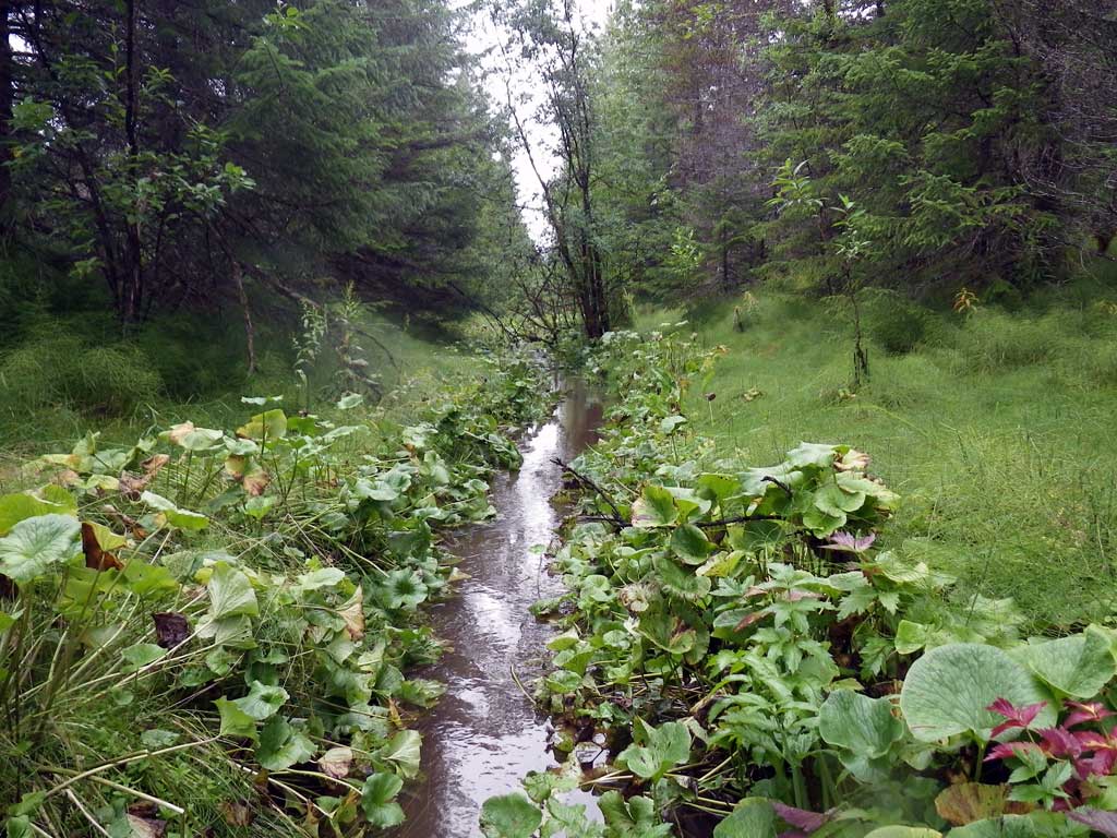
Stream Measurements
|
|
| Stream Width Type | Distance From Crossing (ft) |
Stream Width (ft) |
|---|---|---|
| Upstream ordinary high water | 27.0 | 4.80 |
| Upstream ordinary high water | 52.0 | 6.60 |
| Upstream ordinary high water | 77.0 | 6.20 |
Elevations
| Locator ID | Culvert Number |
River Distance (ft)1 |
Distance From Crossing (ft)2 |
Relative Elevation (ft) |
|---|---|---|---|---|
| Road Elev | 96.73 | |||
| D/S Tailcrest or 1st Thalweg | 0.00 | 90.95 | ||
| D/S Water Surface Elev | 0.00 | 91.89 | ||
| Outlet Pool Water Elev | 52.00 | 91.91 | ||
| Max Pool Depth | 52.00 | 89.09 | ||
| Misc. (c2, substrate below pipe) | 2 | 62.00 | 90.67 | |
| Misc. (c1, substrate below pipe) | 1 | 62.00 | 91.11 | |
| Outlet Invert (c2) | 2 | 62.00 | 91.21 | |
| Outlet Invert (c1) | 1 | 62.00 | 91.29 | |
| D/S Water Surface Elev (c1) | 1 | 62.00 | 91.91 | |
| D/S Water Surface Elev (c2) | 2 | 62.00 | 91.92 | |
| U/S Headwater (c1) | 1 | 93.00 | 91.92 | |
| Inlet Culvert Invert (c1) | 1 | 93.00 | 90.43 | |
| Misc. (c1, substrate perched above pipe) | 1 | 93.00 | 90.76 | |
| Misc. (c2, substrate below pipe) | 2 | 93.10 | 90.48 | |
| Inlet Culvert Invert (c2) | 2 | 93.10 | 90.67 | |
| U/S Headwater (c2) | 2 | 93.10 | 91.92 | |
| U/S Water Surface Elev (Stream gradient start) | 153.00 | 91.99 | ||
| U/S Grade Ctrl (Thalweg) | 153.00 | 91.12 | ||
| U/S Water Surface Elev (Stream gradient end) | 293.00 | 92.08 |
Notes:
- River distance is measured continuously throughout the survey reach along the thalweg of the stream.
- Measured from each end of the crossing along the thalweg of the stream.
Fish Sampling Efforts
| Gear Type: Visual Observation, Ground (A) | Trap Duration(h): 0.25 | |
| Channel Type: Main Channel (>50% of water flow) | ||
| Comments: Visual observation | ||
| Gear Type: Visual Observation, Ground (B) | Trap Duration(h): 0.25 | |
| Channel Type: Main Channel (>50% of water flow) | ||
| Comments: Visual observation | ||
Fish Observations
| Species: juvenile salmonid-unspecified | Life History: Unknown | ||
| Total Fish Observed: 2 | Fish Measured: 2 | Fork Lengths (mm) Min: 80 Max: 80 Mean: 80 | |
| Collected/Observed by Gear Type: Downstream Visual Observation, Ground (1) Upstream Visual Observation, Ground (1) | |||
Photos

Questions or comments about this report can be directed to dfg.dsf.webmaster@alaska.gov