Fish Passage Site 10302252
Coordinates (dec. deg.): 58.41608°, -135.75558°
Legal Description: C040S058E12
Region: Southeast
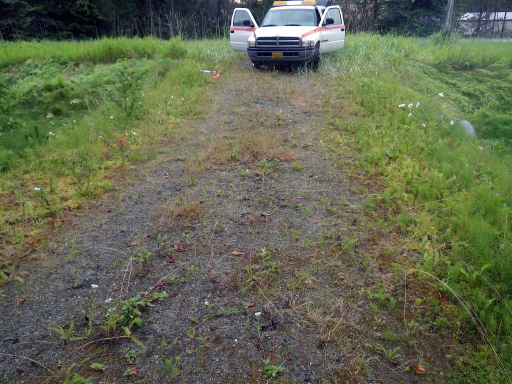
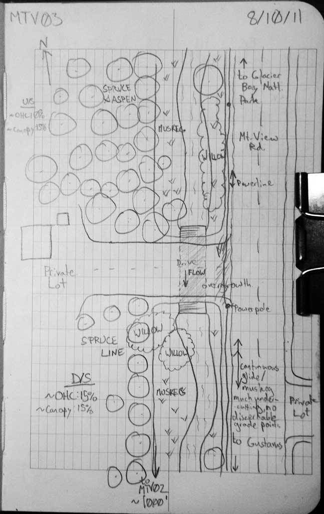
Road Name: Mountain View Road
Datum: NAD83
Quad Name / ITM: Juneau B-6
AWC Stream #:
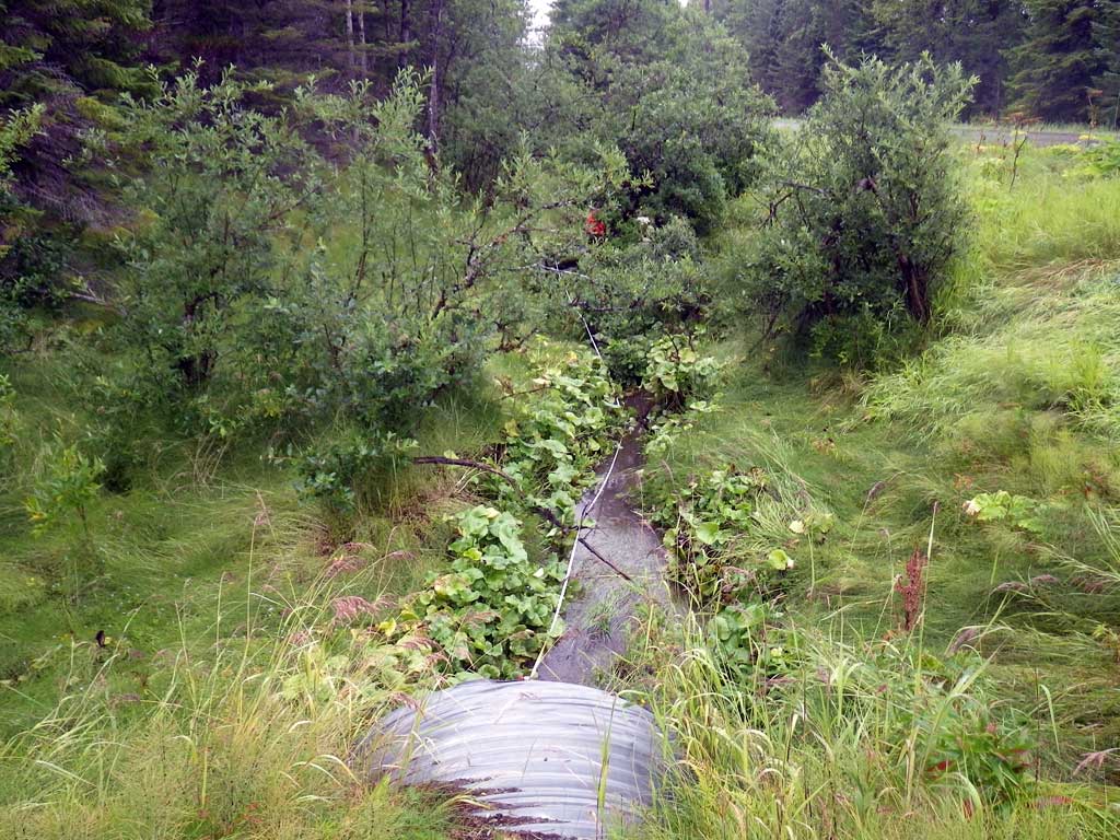
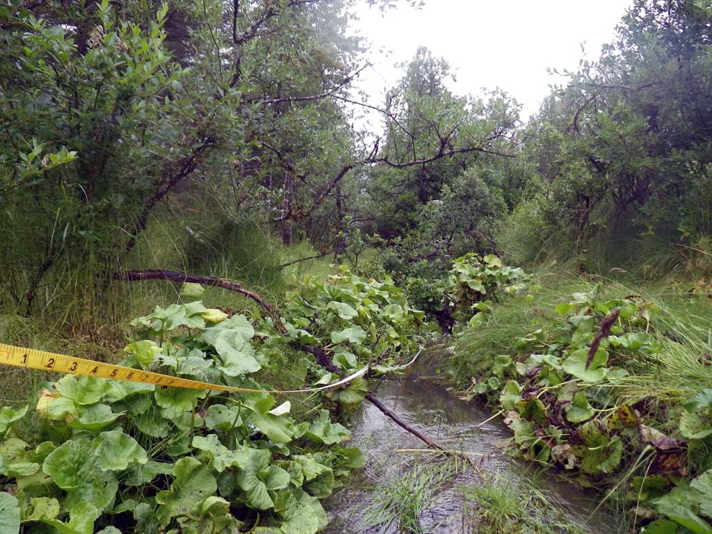
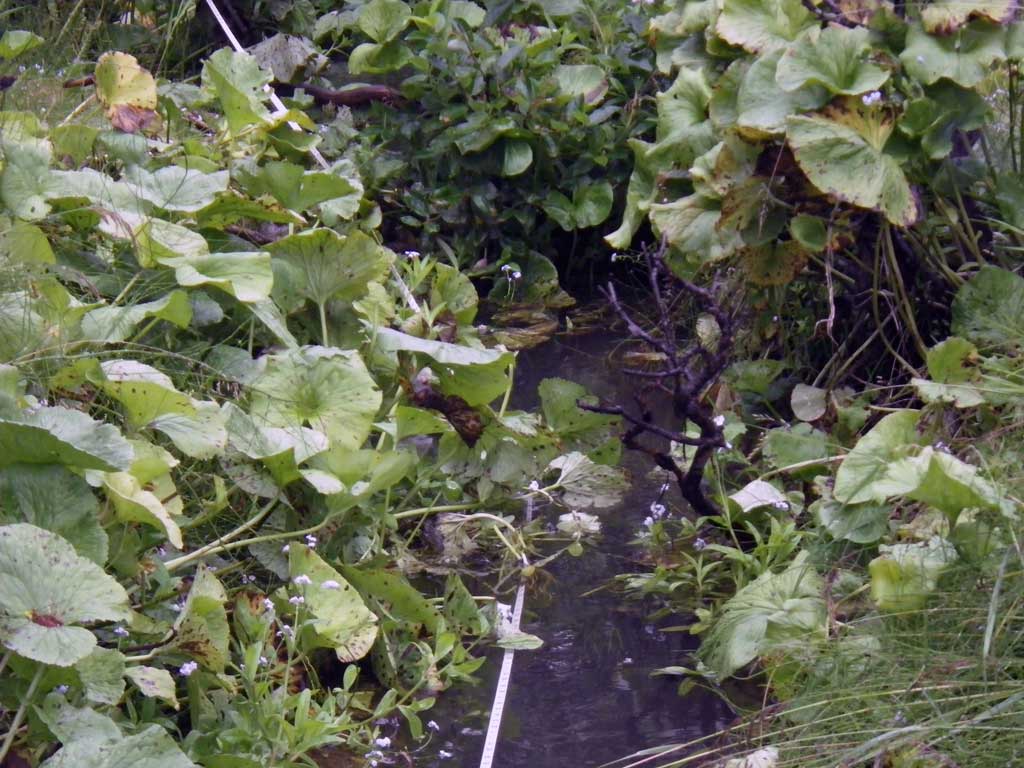
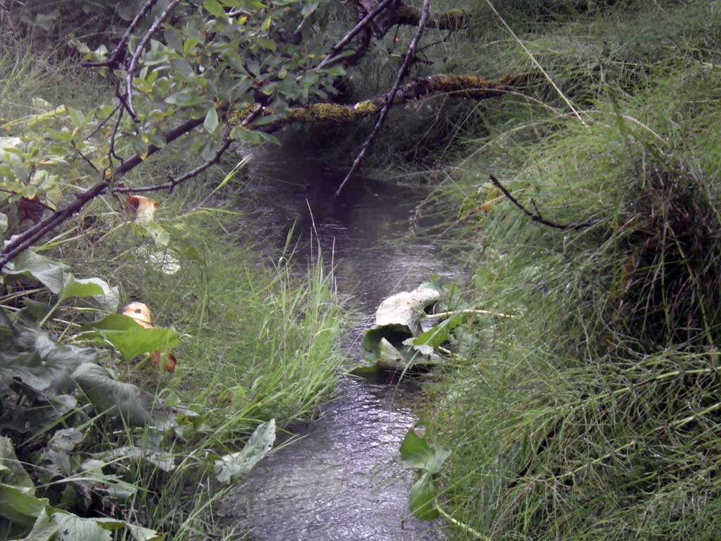
Stream Name: Good River
Elevation:
Site Comments: Driveway off of Mountain View Road
Survey SEA11-MTV03
Project Supervisor: Gillian O'Doherty, Alaska Department of Fish and Game
— Anchorage, AK
Observers: Jason Olds, Charmagne Gutierrez
Overall Fish Passage Rating:
Tidal: No
Backwatered: Yes
Step Pools: No
Construction Year:
Site Observations:
- None of this type
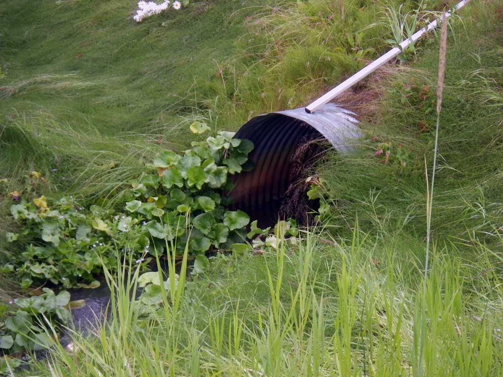
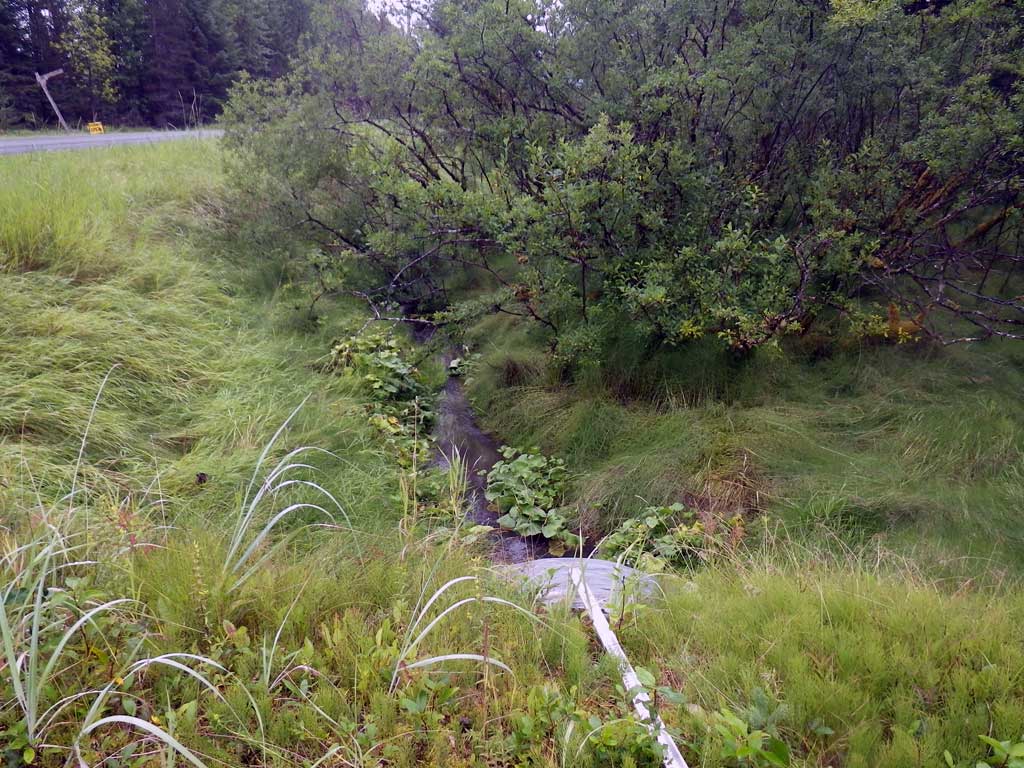
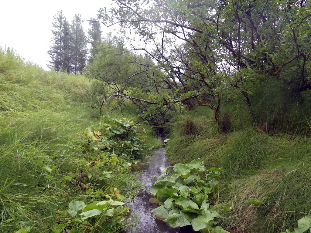
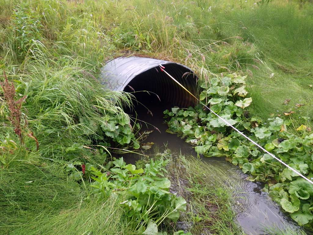
Comments: No traps set or fish observed as stream is already in the AWC. Continuous glide upstream and downstream. Tailcrest not found, may be further downstream, but flatwater conditions present.
Culvert Measurements
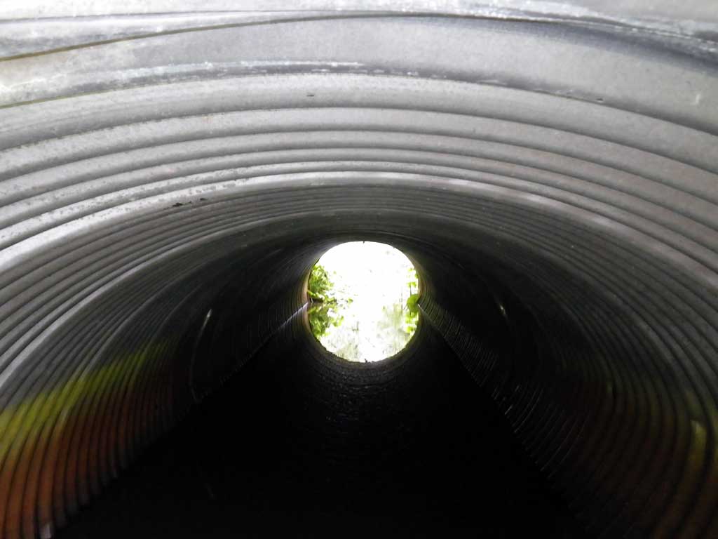
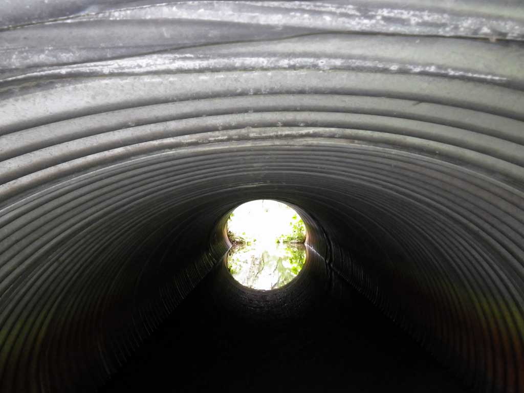
| ID: 1 | Structure Type: Pipe-arch (Corrugated steel) | Fish Passage Rating: | |||||||||||||||||||||||||||||||||||||||||
|
|
|
|||||||||||||||||||||||||||||||||||||||||
Culvert Observations:
|
|||||||||||||||||||||||||||||||||||||||||||
Stream Measurements
|
|
| Stream Width Type | Distance From Crossing (ft) |
Stream Width (ft) |
|---|---|---|
| Upstream ordinary high water | 20.0 | 4.80 |
| Upstream ordinary high water | 37.0 | 4.60 |
| Upstream ordinary high water | 65.0 | 4.50 |
Elevations
| Locator ID | Culvert Number |
River Distance (ft)1 |
Distance From Crossing (ft)2 |
Relative Elevation (ft) |
|---|---|---|---|---|
| Road Elev | 96.31 | |||
| Misc. (No discernable grade points) | 0.00 | 89.09 | ||
| D/S Water Surface Elev | 0.00 | 90.40 | ||
| Outlet Invert | 15.00 | 89.31 | ||
| D/S Water Surface Elev | 15.00 | 90.39 | ||
| Outlet Culvert Top | 15.00 | 93.69 | ||
| Inlet Culvert Top | 45.90 | 93.68 | ||
| Inlet Culvert Invert | 45.90 | 89.16 | ||
| U/S Water Surface Elev | 45.90 | 90.42 | ||
| U/S Headwater | 46.00 | 90.40 | ||
| U/S Water Surface Elev | 56.00 | 90.46 | ||
| U/S Water Surface Elev | 150.90 | 90.79 |
Notes:
- River distance is measured continuously throughout the survey reach along the thalweg of the stream.
- Measured from each end of the crossing along the thalweg of the stream.
Fish Sampling Efforts
| Gear Type: None (A) | ||
| Comments: No traps set no fish observed. | ||
Fish Observations
No fish observations occurred during this survey.
Photos
Questions or comments about this report can be directed to dfg.dsf.webmaster@alaska.gov