Fish Passage Site 10302251
Coordinates (dec. deg.): 58.41390°, -135.75546°
Legal Description: C040S058E12
Region: Southeast
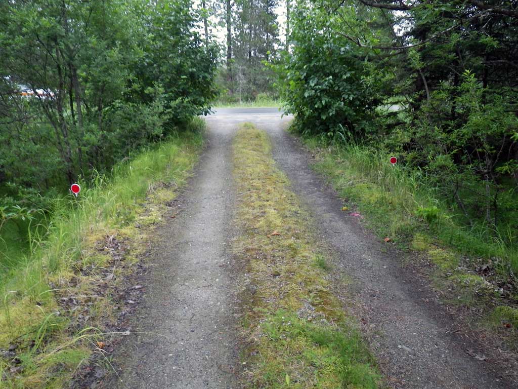
Road Name: Mountain View Road
Datum: NAD83
Quad Name / ITM: Juneau B-6
AWC Stream #:
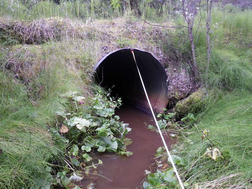
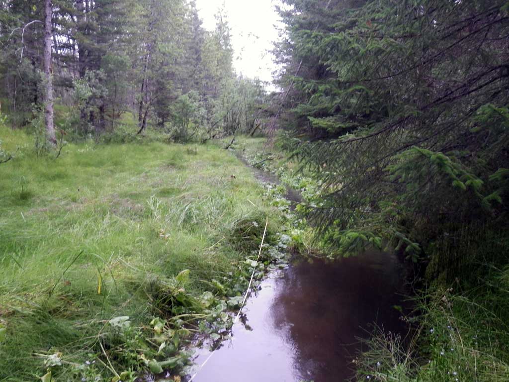
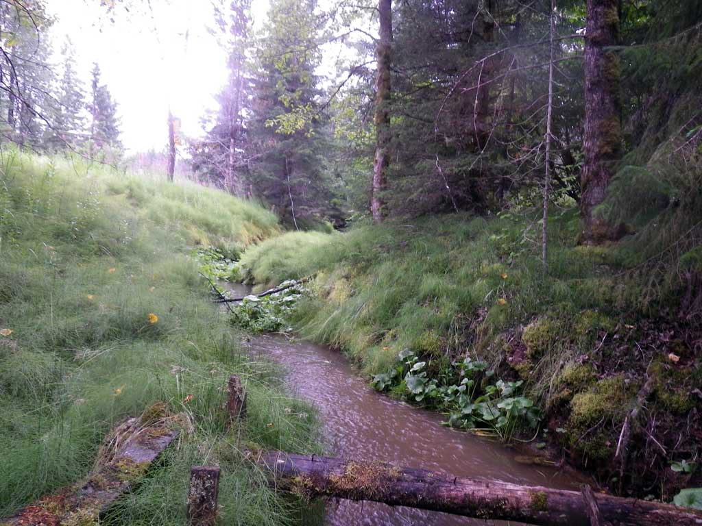
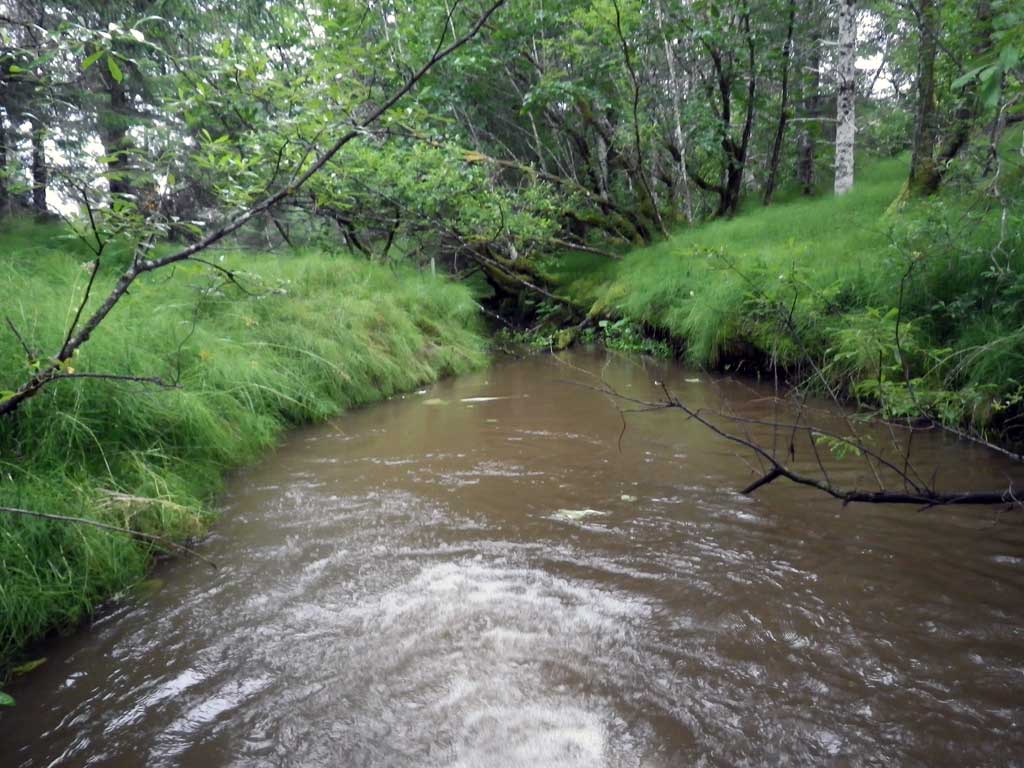
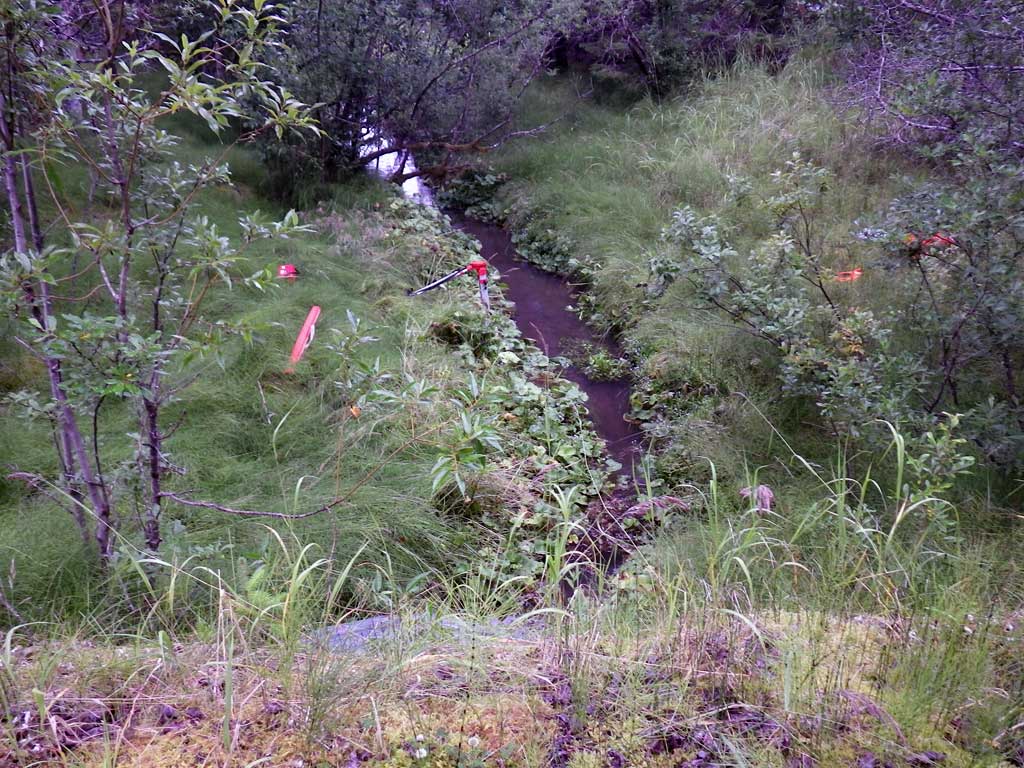
Stream Name: Good River
Elevation:
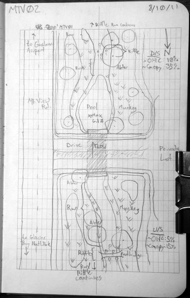
Site Comments: Driveway off of Mountain View Road. Approximately 200 feet upstream from MTV01.
arrow to the right of the survey date below to choose a different report for this site.
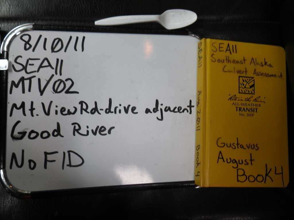
Survey SEA11-MTV02
Project Supervisor: Gillian O'Doherty, Alaska Department of Fish and Game
— Anchorage, AK
Observers: Jason Olds, Charmagne Gutierrez
Overall Fish Passage Rating:
Tidal: No
Backwatered: No
Step Pools: No
Construction Year:
Site Observations:
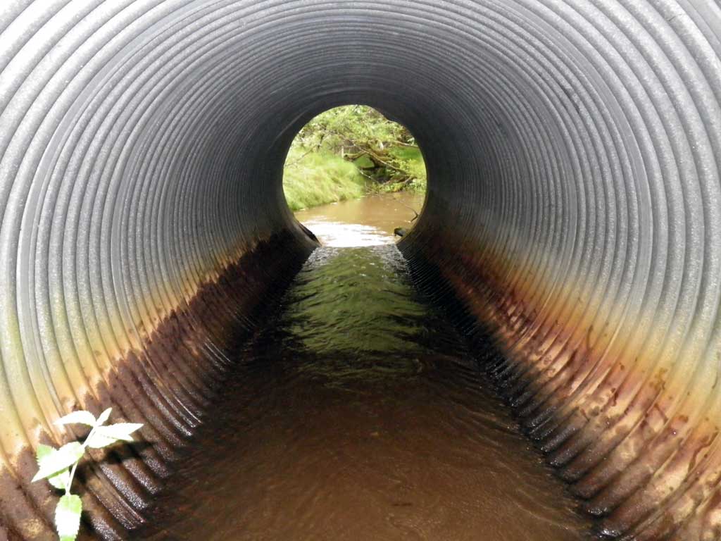
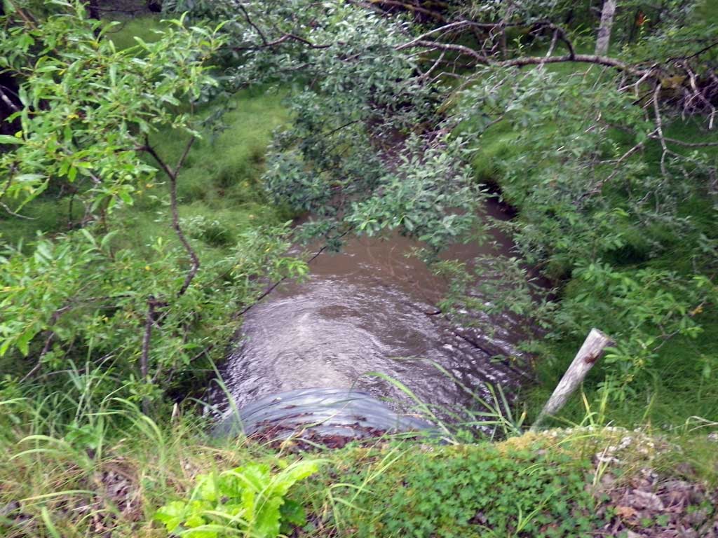
- Outfall height red
Comments: No fish observed or trapped as stream is already in the AWC. Max pool measured with rod at 6.1 feet.
Culvert Measurements
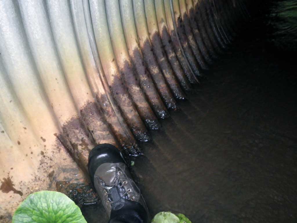
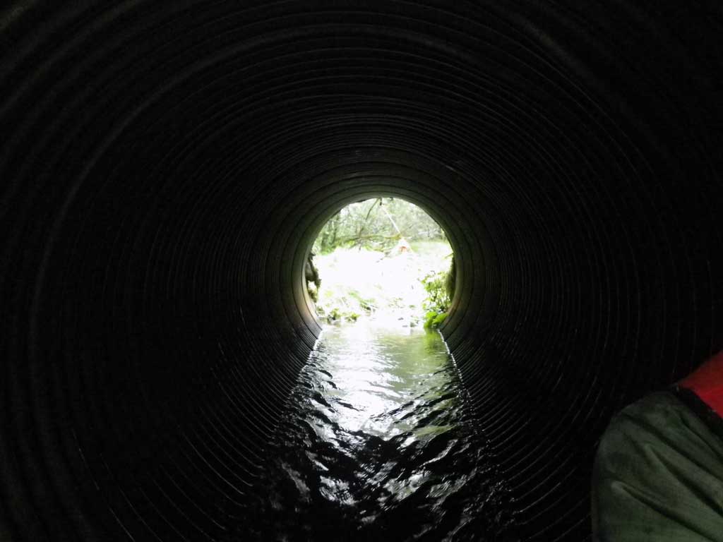
| ID: 1 | Structure Type: Circular pipe (Corrugated steel) | Fish Passage Rating: | |||||||||||||||||||||||||||||||||||||||||
|
|
|
|||||||||||||||||||||||||||||||||||||||||
Comments: Max pool depth measured with rod to be about 6.1 feet. |
|||||||||||||||||||||||||||||||||||||||||||
Culvert Observations:
|
|||||||||||||||||||||||||||||||||||||||||||
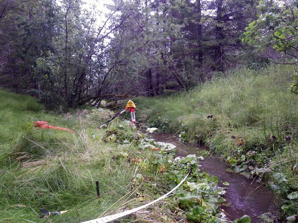
Stream Measurements
|
|
No stream width data available.
Elevations
| Locator ID | Culvert Number |
River Distance (ft)1 |
Distance From Crossing (ft)2 |
Relative Elevation (ft) |
|---|---|---|---|---|
| Road Elev | 104.75 | |||
| D/S Tailcrest or 1st Thalweg | 0.00 | 96.69 | ||
| D/S Water Surface Elev | 0.00 | 97.47 | ||
| Outlet Invert | 53.00 | 97.64 | ||
| D/S Water Surface Elev | 53.00 | 98.01 | ||
| Outlet Culvert Top | 53.00 | 102.76 | ||
| Inlet Culvert Top | 73.70 | 102.74 | ||
| U/S Water Surface Elev | 73.70 | 98.50 | ||
| Inlet Culvert Invert | 73.70 | 97.65 | ||
| U/S Headwater | 81.00 | 98.54 | ||
| U/S Grade Ctrl (Thalweg) (Pool depth) | 81.00 | 96.17 | ||
| U/S Water Surface Elev (Stream gradient start) | 129.00 | 98.58 | ||
| U/S Grade Ctrl (Thalweg) | 129.00 | 97.89 | ||
| U/S Water Surface Elev (Stream gradient end) | 285.00 | 98.71 |
Notes:
- River distance is measured continuously throughout the survey reach along the thalweg of the stream.
- Measured from each end of the crossing along the thalweg of the stream.
Fish Sampling Efforts
| Gear Type: None (A) | ||
| Comments: No traps set no fish observed. | ||
Fish Observations
No fish observations occurred during this survey.
Photos

Questions or comments about this report can be directed to dfg.dsf.webmaster@alaska.gov