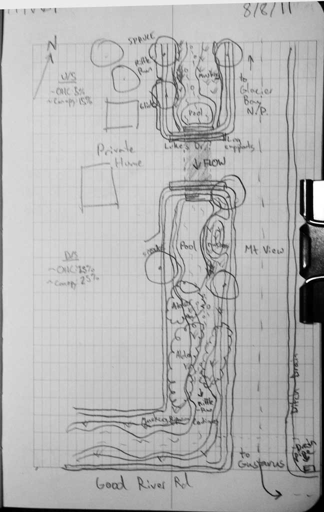
Fish Passage Site 10302250
Coordinates (dec. deg.): 58.41309°, -135.75533°
Legal Description: C040S058E12
Region: Southeast
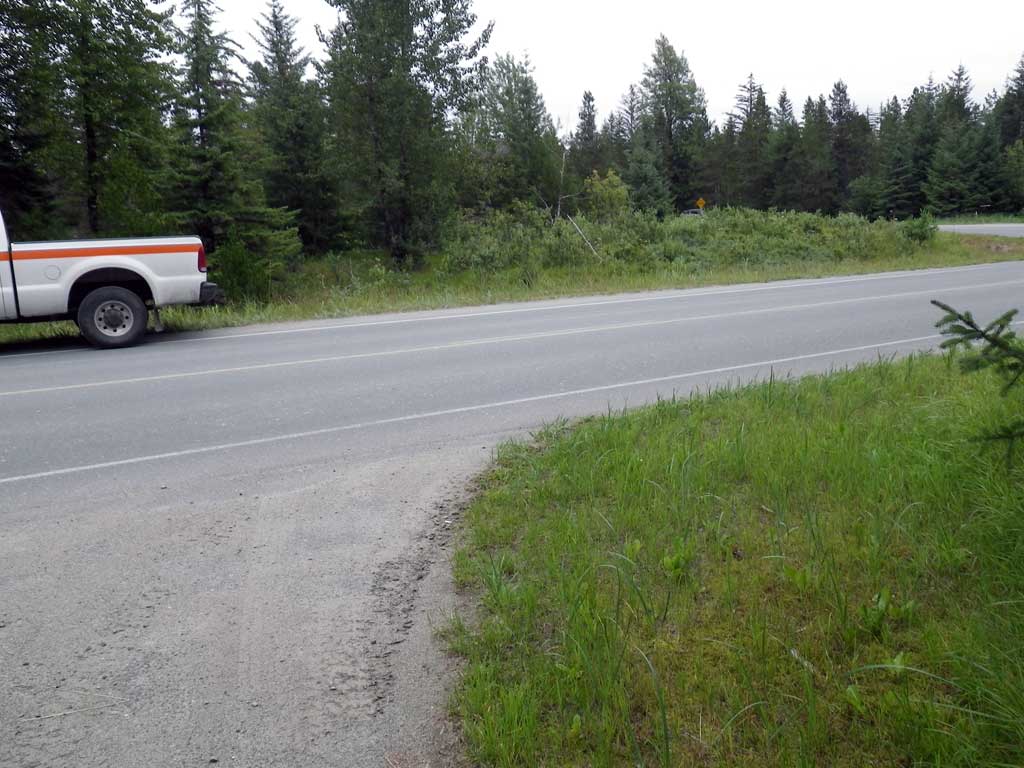
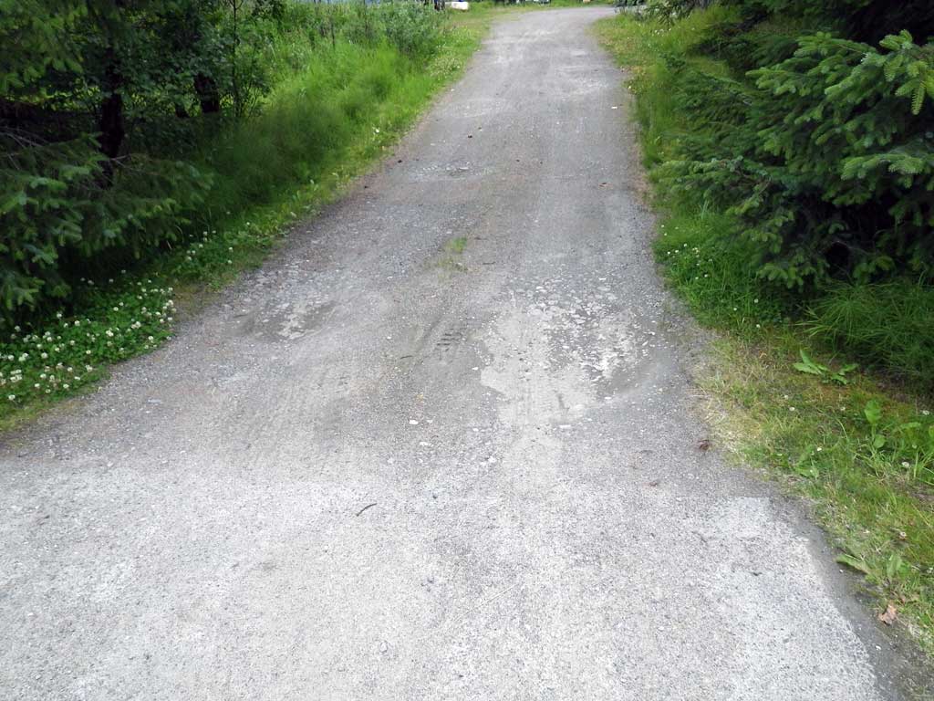
Road Name: Lukes Drive
Datum: NAD83
Quad Name / ITM: Juneau B-6
AWC Stream #:
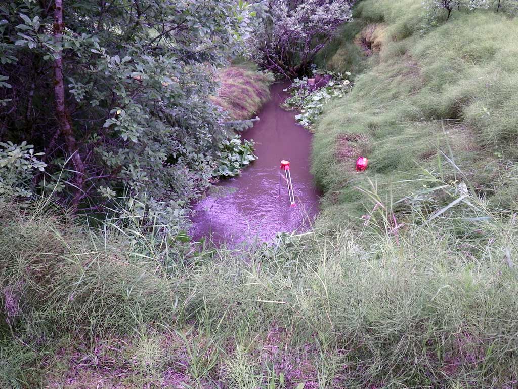
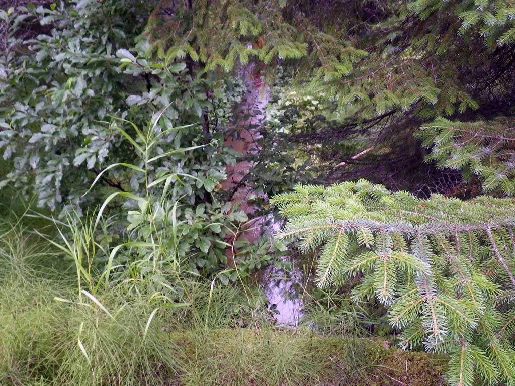
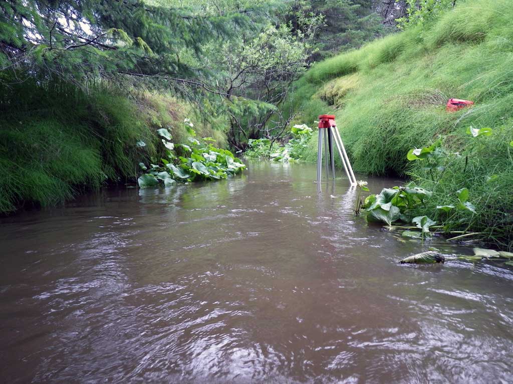
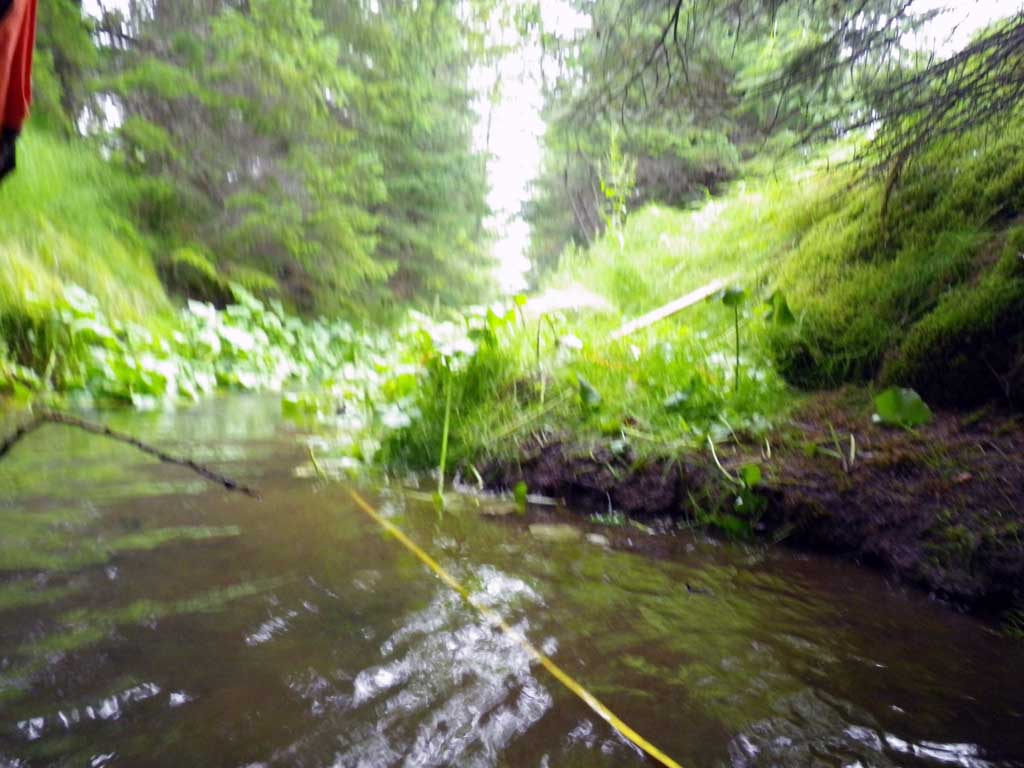
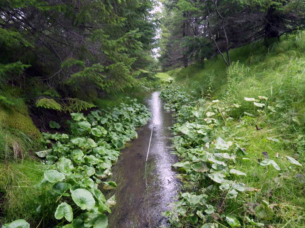
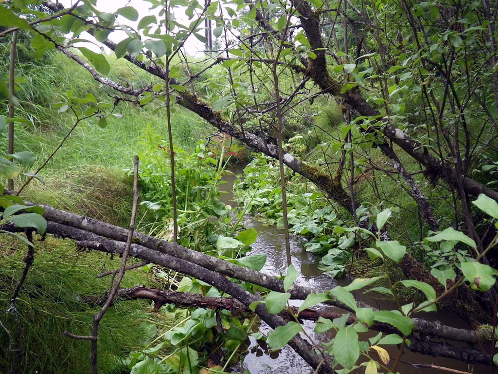
Stream Name: Good River
Elevation:
Site Comments: None
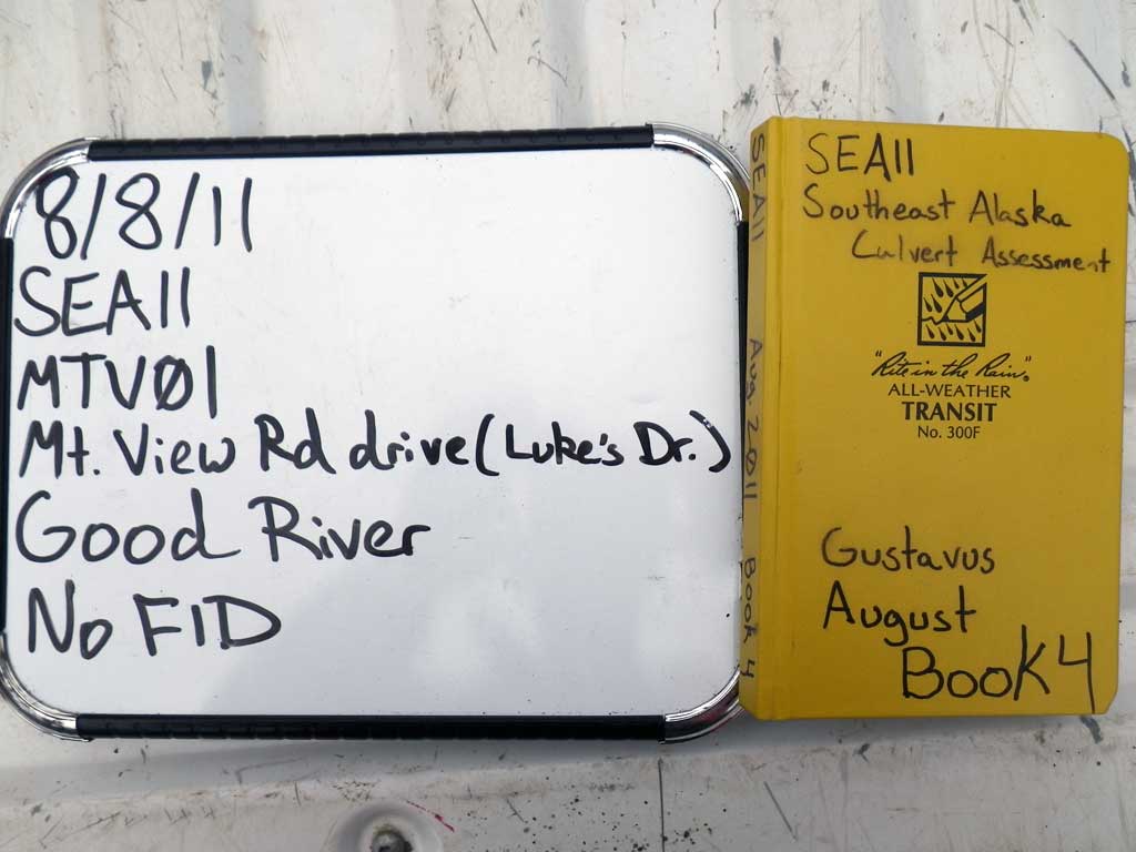
Survey SEA11-MTV01
Project Supervisor: Gillian O'Doherty, Alaska Department of Fish and Game
— Anchorage, AK
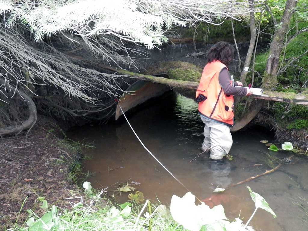
Observers: Jason Olds, Charmagne Gutierrez
Overall Fish Passage Rating:
Tidal: No
Backwatered: Yes
Step Pools: No
Construction Year:
Site Observations:
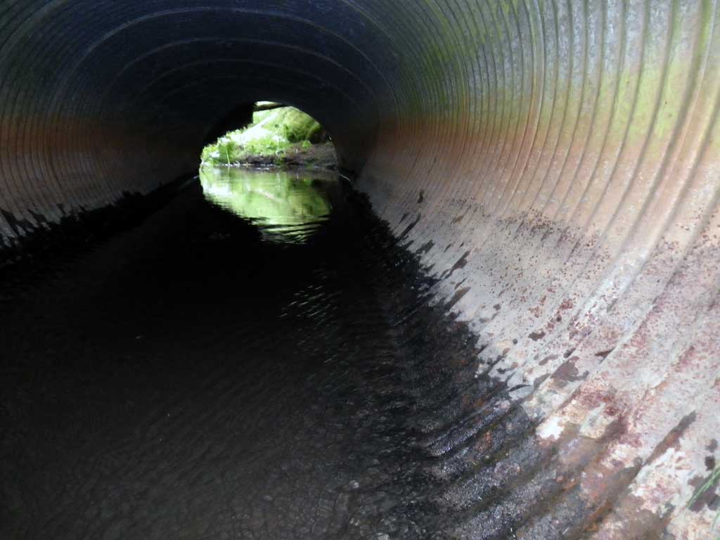
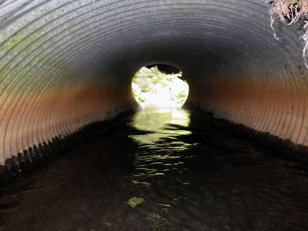
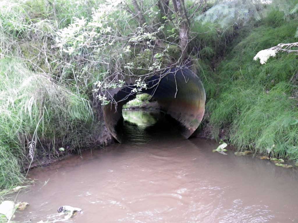
- Culvert is too short
- Structural Problem
- Road bank erosion
Comments: Mountain View Road/ Lukes Dr.. Visual Observation Salmonids Up/Downstream. Pipe very distorted, smashed but functional. Pipe too short. Inlet perch at low flows.
Culvert Measurements
| ID: 1 | Structure Type: Circular pipe (Corrugated Metal) | Fish Passage Rating: | |||||||||||||||||||||||||||||||||||||||||
|
|
|
|||||||||||||||||||||||||||||||||||||||||
Culvert Observations:
|
|||||||||||||||||||||||||||||||||||||||||||
Stream Measurements
|
|
| Stream Width Type | Distance From Crossing (ft) |
Stream Width (ft) |
|---|---|---|
| Upstream ordinary high water | 30.0 | 6.50 |
| Upstream ordinary high water | 70.0 | 7.40 |
| Upstream ordinary high water | 100.0 | 5.80 |
Elevations
| Locator ID | Culvert Number |
River Distance (ft)1 |
Distance From Crossing (ft)2 |
Relative Elevation (ft) |
|---|---|---|---|---|
| D/S Tailcrest or 1st Thalweg | 0.00 | 97.97 | ||
| D/S Water Surface Elev | 0.00 | 99.03 | ||
| Outlet Pool Water Elev | 19.00 | 99.02 | ||
| Max Pool Depth | 19.00 | 95.99 | ||
| Outlet Invert | 31.00 | 98.47 | ||
| D/S Water Surface Elev | 31.00 | 99.01 | ||
| Inlet Culvert Invert | 53.80 | 97.40 | ||
| U/S Headwater | 53.80 | 99.08 |
Notes:
- River distance is measured continuously throughout the survey reach along the thalweg of the stream.
- Measured from each end of the crossing along the thalweg of the stream.
Fish Sampling Efforts
| Gear Type: Visual Observation, Ground (A) | Trap Duration(h): 30.0 | |
| Channel Type: Main Channel (>50% of water flow) | ||
| Comments: Unidentifed juvniles observed upstream and downstream from culvert. | ||
| Gear Type: Visual Observation, Ground (B) | Trap Duration(h): 30.0 | |
Fish Observations
No fish observations occurred during this survey.
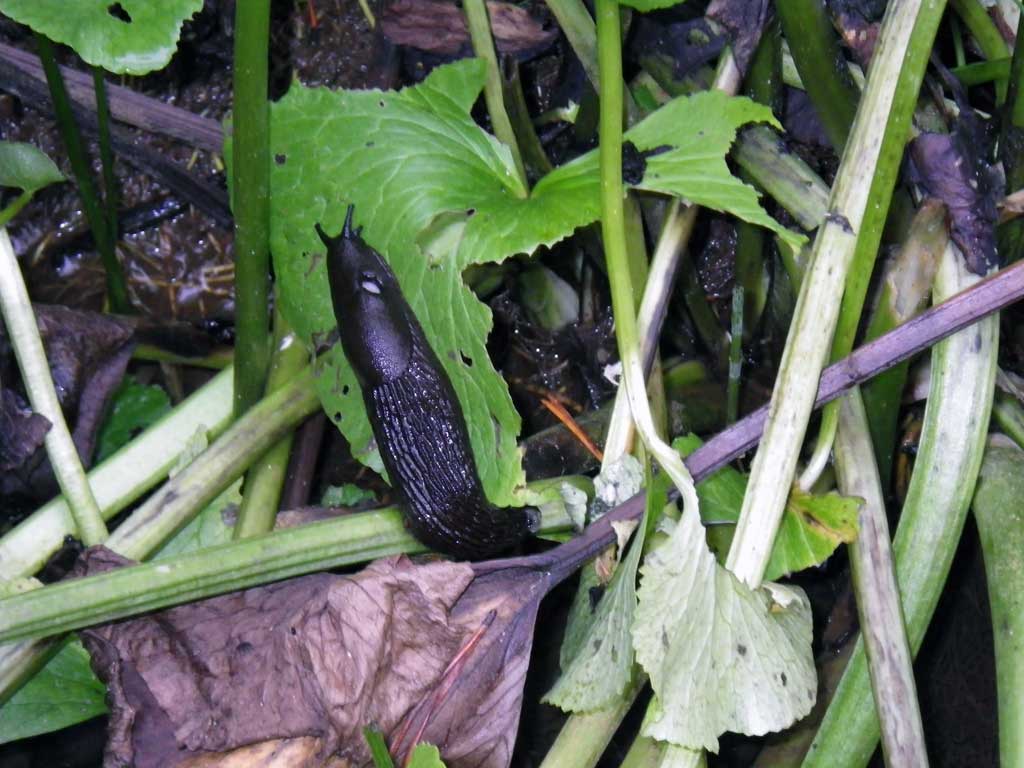
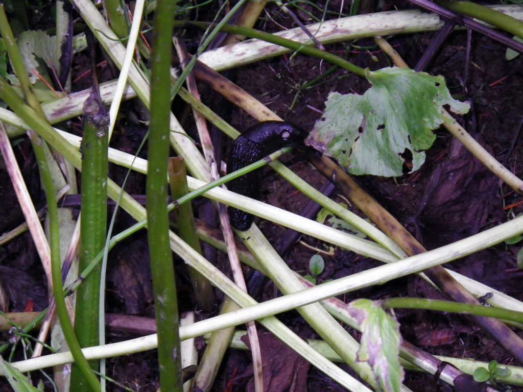
Photos
Questions or comments about this report can be directed to dfg.dsf.webmaster@alaska.gov