Fish Passage Site 10302249
Coordinates (dec. deg.): 58.44124°, -135.73212°
Legal Description: C040S059E06
Region: Southeast
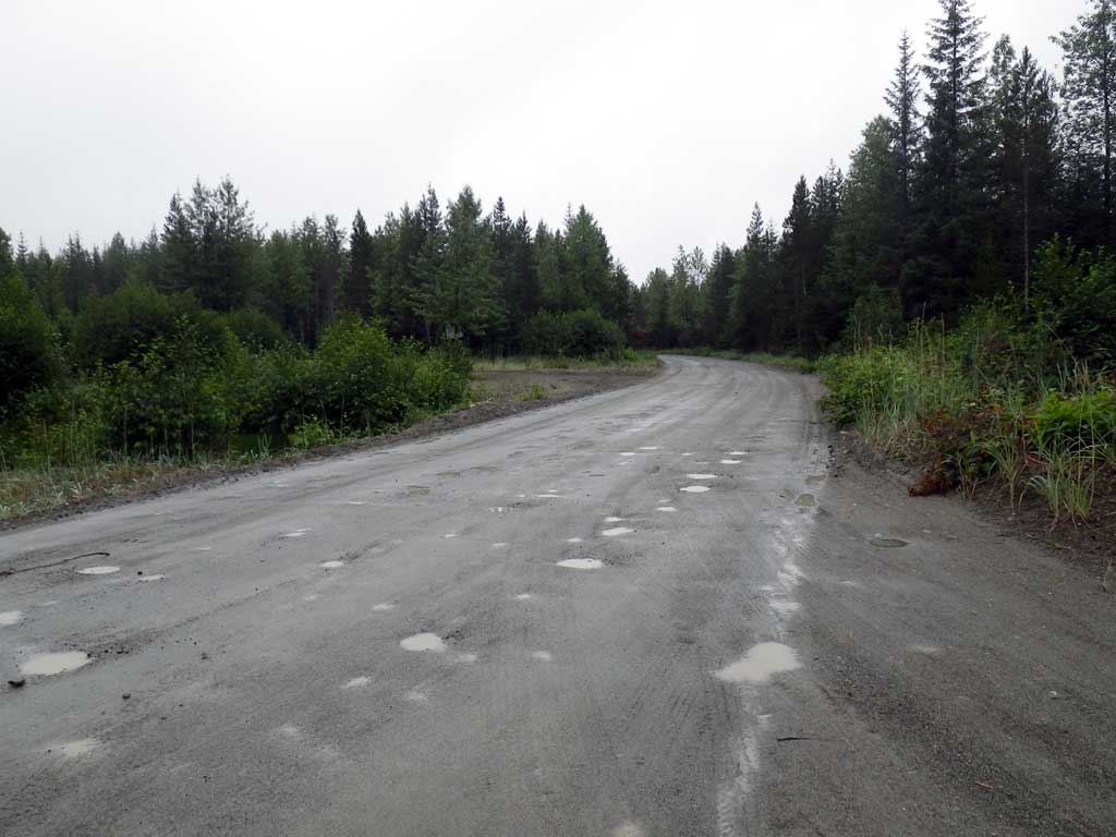
Road Name: Wilson Road
Datum: NAD83
Quad Name / ITM: Juneau B-6
AWC Stream #:
Stream Name: Airport Ditch
Elevation:
Site Comments: None
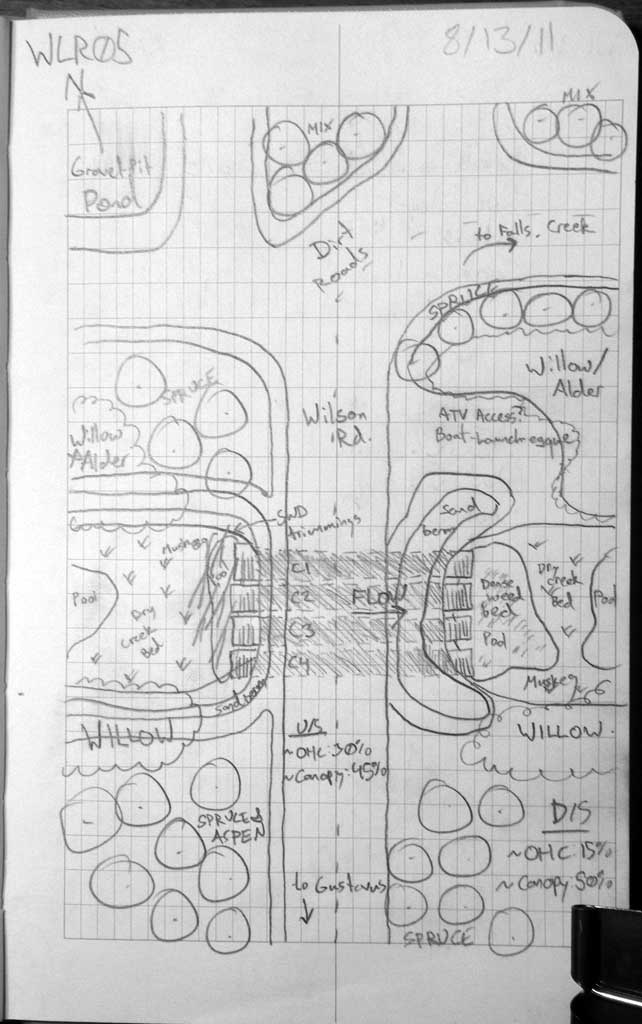
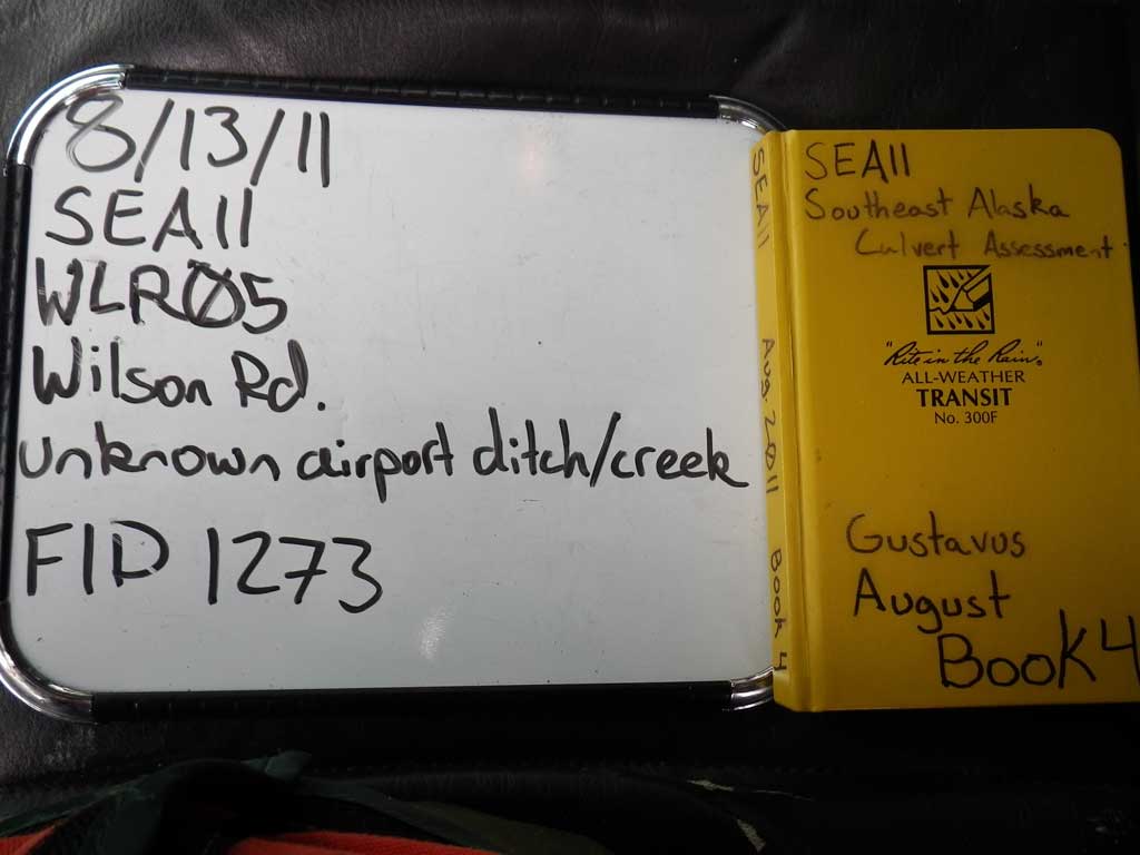
Survey SEA11-WLR05
Project Supervisor: Gillian O'Doherty, Alaska Department of Fish and Game
— Anchorage, AK
Observers: Jason Olds, Charmagne Gutierrez
Overall Fish Passage Rating:
Tidal: No
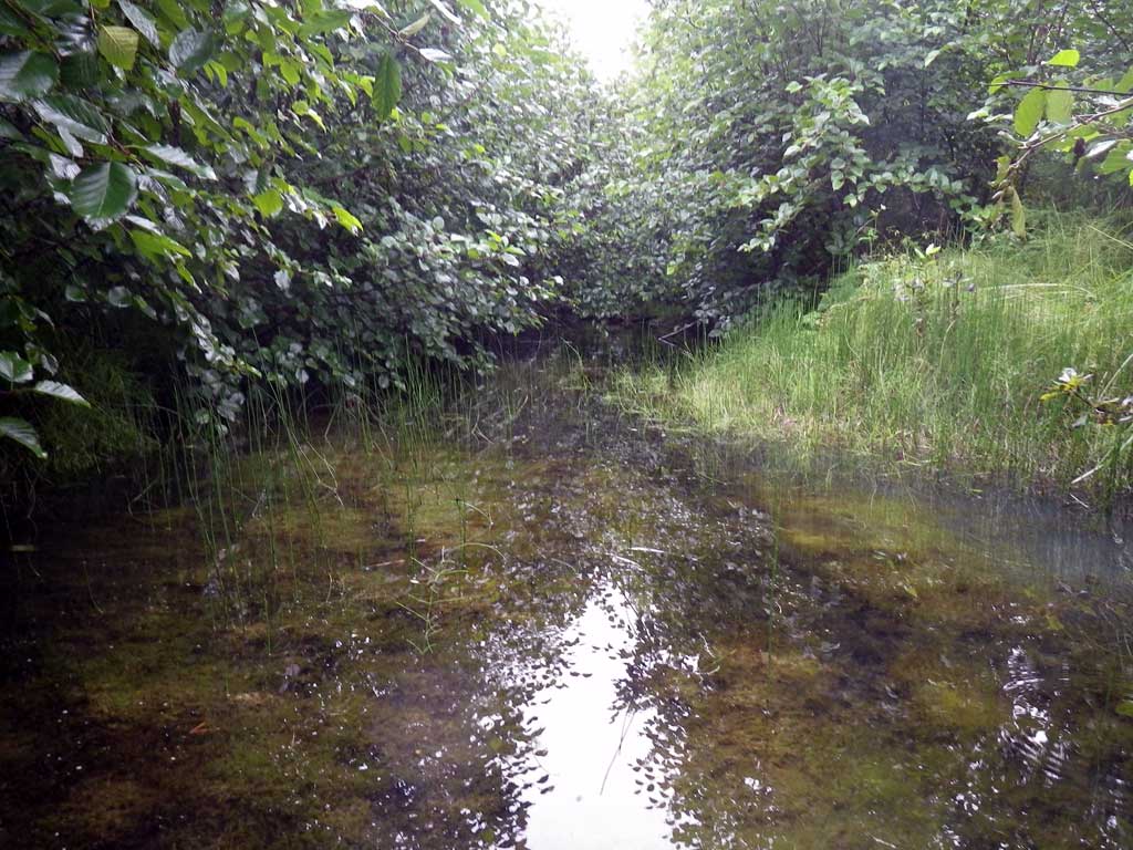
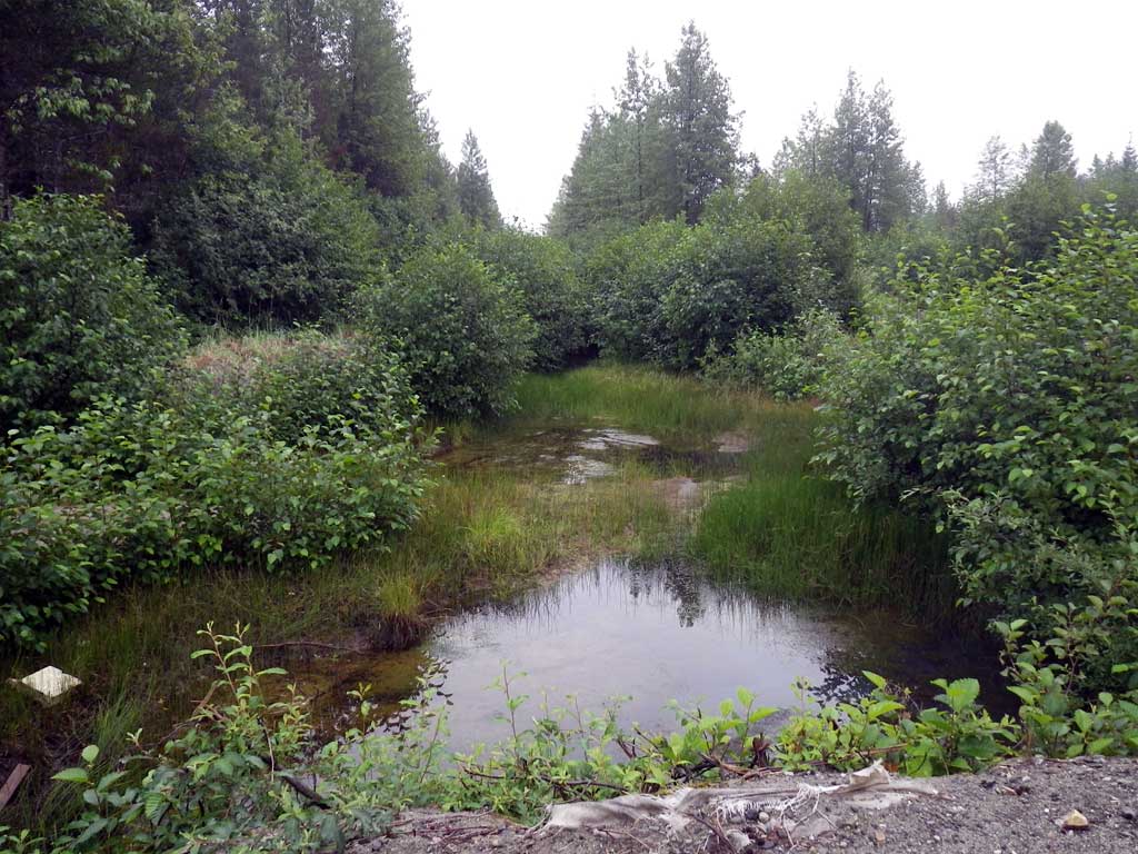
Backwatered: Yes
Step Pools: No
Construction Year:
Site Observations:
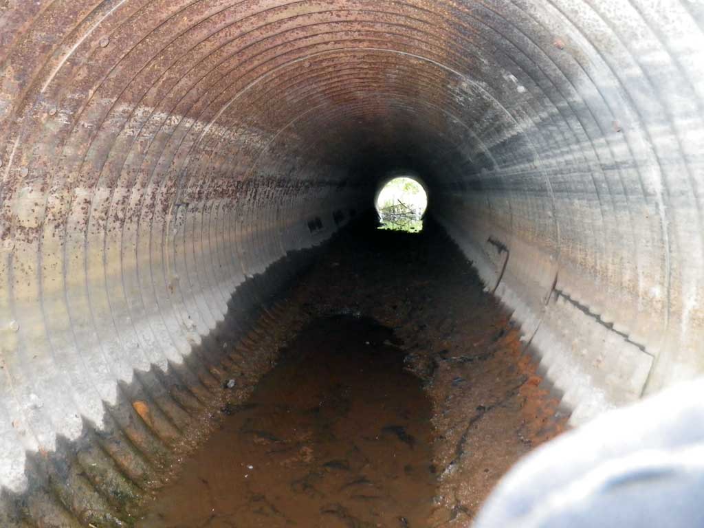
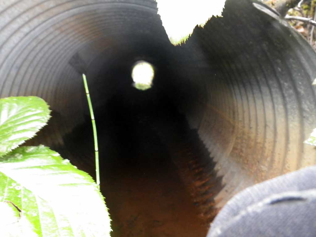
- Culvert gradient gray
- Mechanical damage or joints parting
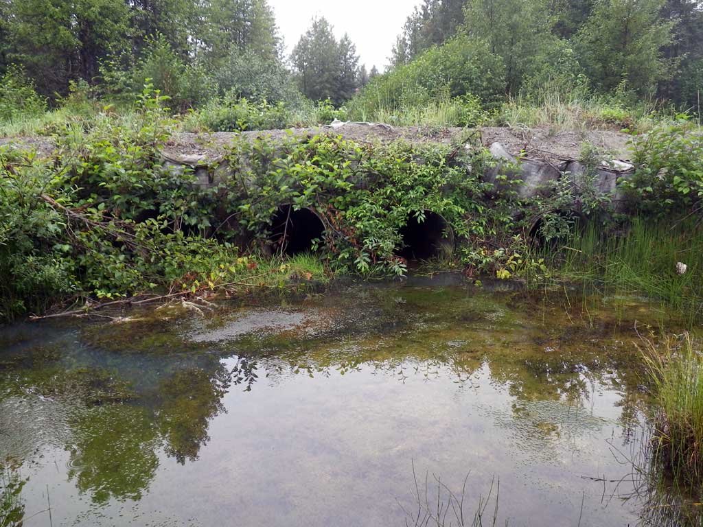
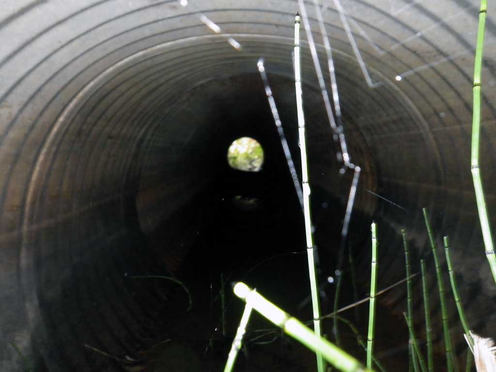
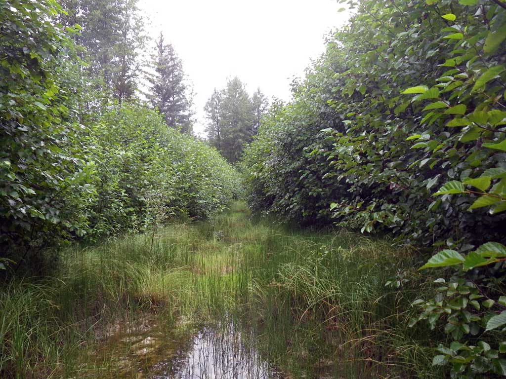
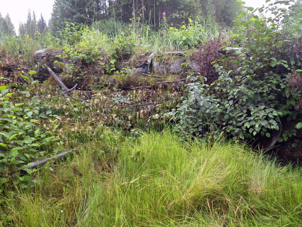
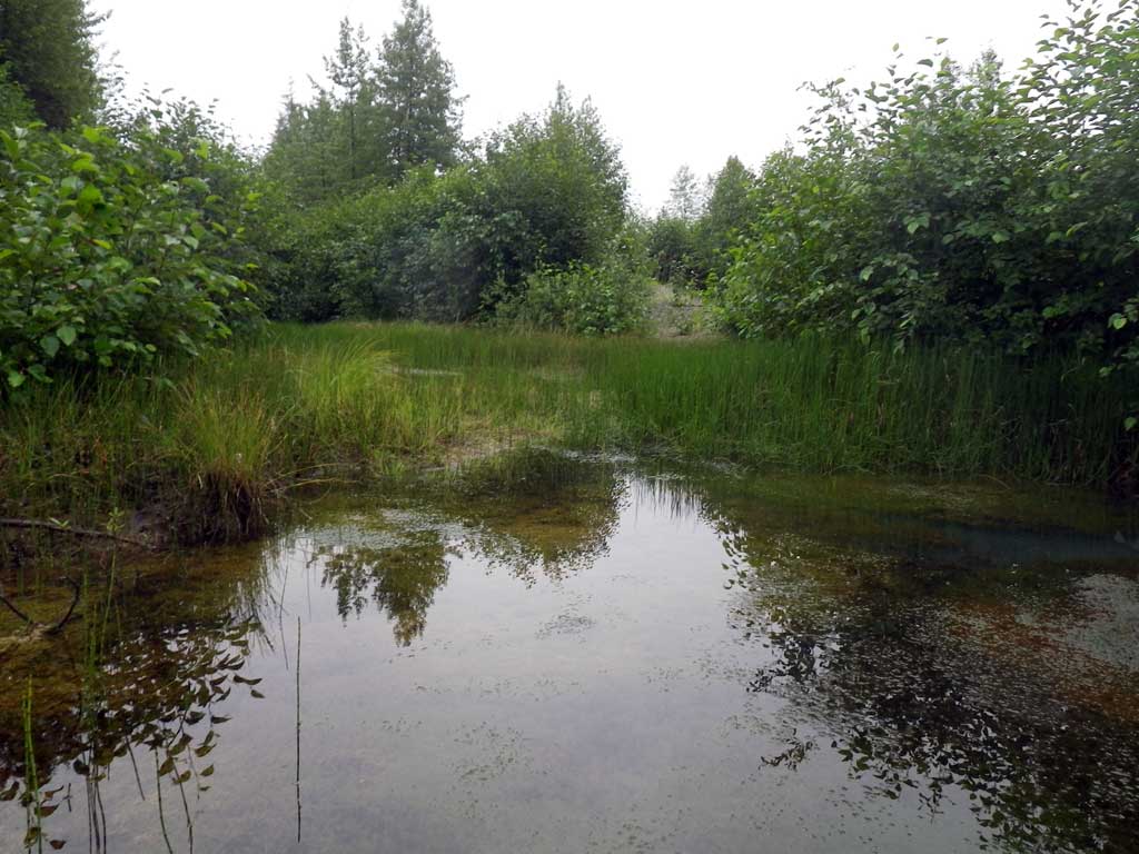
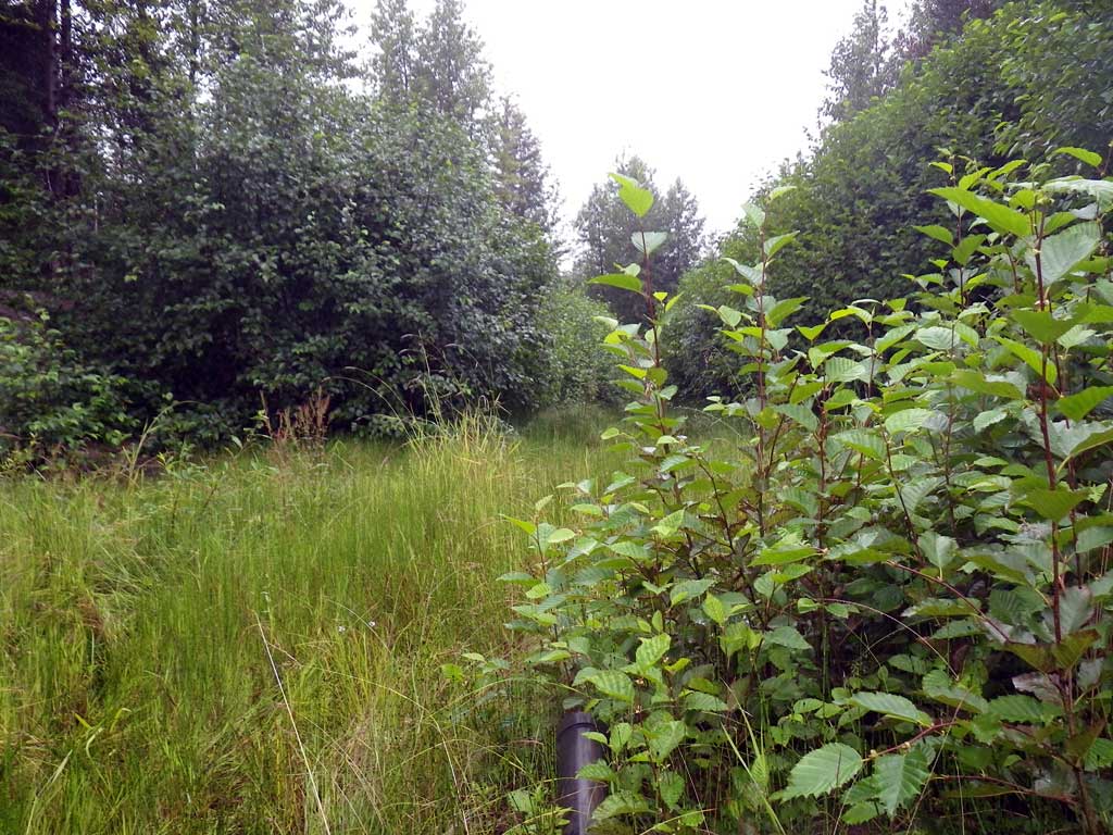
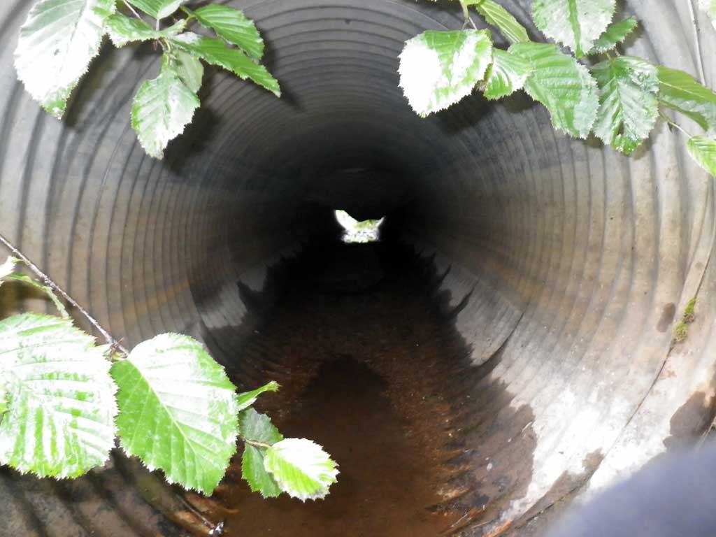
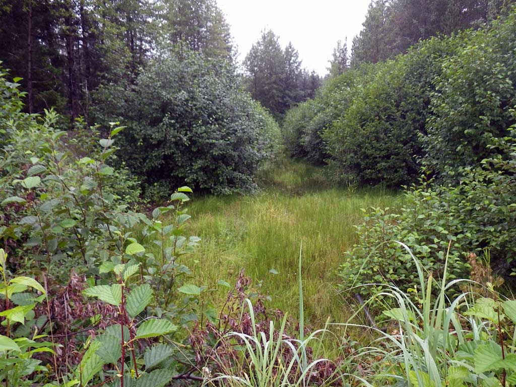
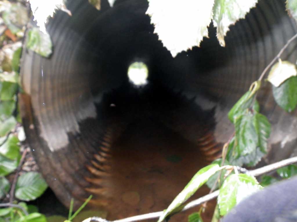
Comments: 4 pipe system, water stagnant and ponded upstream and downstream of culverts. Fish observed downstream in pond. Many Bufa borealis morphs observed around culverts. Large amounts of shrub and tree trimmings left at inverts. Culvert 1 dry.
Culvert Measurements
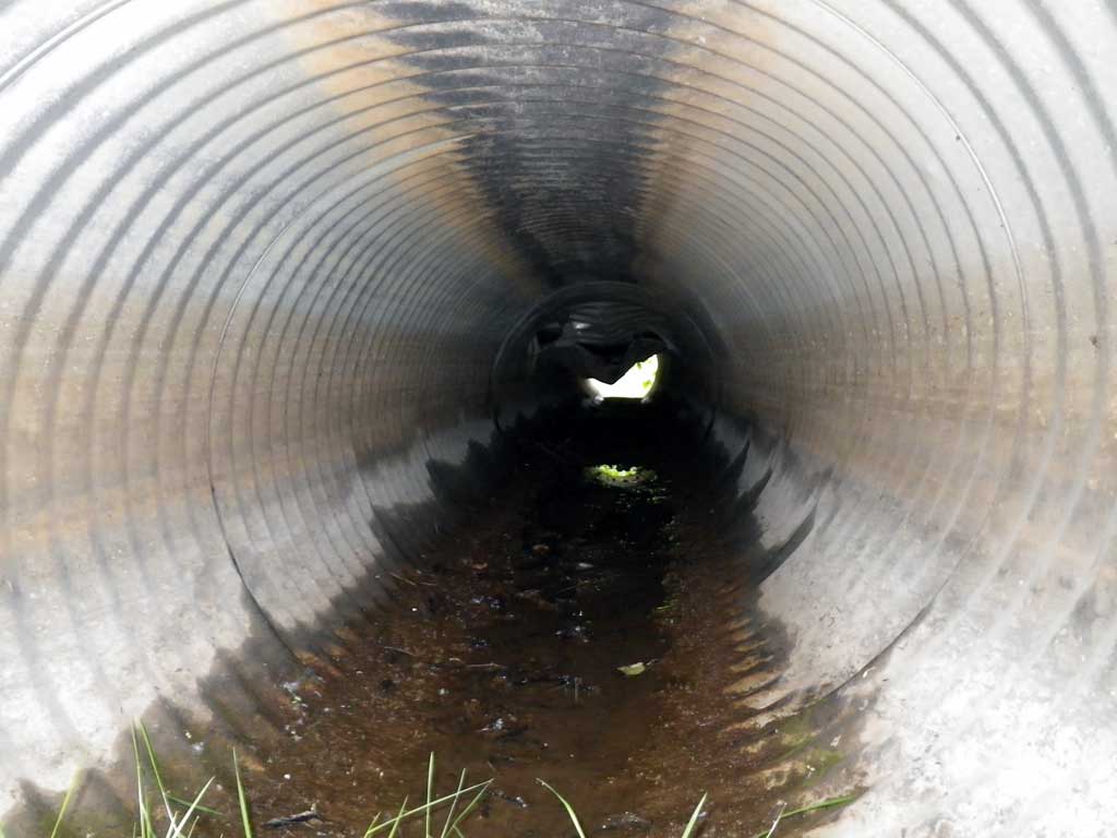
| ID: 1 | Structure Type: Circular pipe (Corrugated steel) | Fish Passage Rating: | |||||||||||||||||||||||||||||||||||||||||
|
|
|
|||||||||||||||||||||||||||||||||||||||||
Comments: Mechanical damage to interior of pipe visible. Dry |
|||||||||||||||||||||||||||||||||||||||||||
Culvert Observations:
|
|||||||||||||||||||||||||||||||||||||||||||
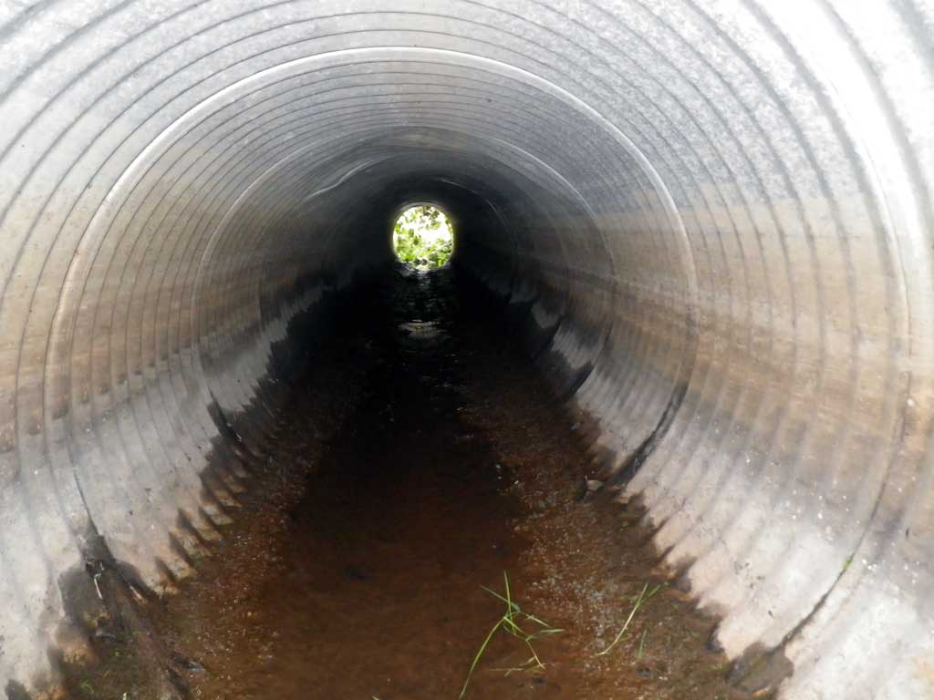
| ID: 2 | Structure Type: Circular pipe (Corrugated steel) | Fish Passage Rating: | |||||||||||||||||||||||||||||||||||||||||
|
|
|
|||||||||||||||||||||||||||||||||||||||||
Comments: Pipe 2 is backwatered. |
|||||||||||||||||||||||||||||||||||||||||||
Culvert Observations:
|
|||||||||||||||||||||||||||||||||||||||||||
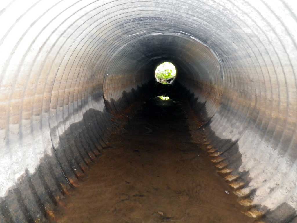
| ID: 3 | Structure Type: Circular pipe (Corrugated steel) | Fish Passage Rating: | |||||||||||||||||||||||||||||||||||||||||
|
|
|
|||||||||||||||||||||||||||||||||||||||||
Comments: Pipe 3 is backwatered. |
|||||||||||||||||||||||||||||||||||||||||||
Culvert Observations:
|
|||||||||||||||||||||||||||||||||||||||||||
| ID: 4 | Structure Type: Circular pipe (Corrugated steel) | Fish Passage Rating: | |||||||||||||||||||||||||||||||||||||||||
|
|
|
|||||||||||||||||||||||||||||||||||||||||
Comments: Pipe 4 is backwatered. |
|||||||||||||||||||||||||||||||||||||||||||
Culvert Observations:
|
|||||||||||||||||||||||||||||||||||||||||||
Stream Measurements
|
|
No stream width data available.
Elevations
| Locator ID | Culvert Number |
River Distance (ft)1 |
Distance From Crossing (ft)2 |
Relative Elevation (ft) |
|---|---|---|---|---|
| Road Elev | 96.91 | |||
| D/S Water Surface Elev (Wetted pool surface edge) | 0.00 | 91.34 | ||
| D/S Tailcrest or 1st Thalweg (dry) | 8.00 | 91.35 | ||
| Outlet Pool Water Elev | 25.00 | 91.37 | ||
| Max Pool Depth | 25.00 | 89.63 | ||
| Outlet Invert (C2) | 2 | 34.00 | 90.81 | |
| Outlet Invert (C1, dry) | 1 | 34.00 | 90.88 | |
| Outlet Invert (C3) | 3 | 34.00 | 91.02 | |
| D/S Water Surface Elev (C2) | 2 | 34.00 | 91.36 | |
| D/S Water Surface Elev (C3) | 3 | 34.00 | 91.36 | |
| D/S Water Surface Elev (C4) | 4 | 34.00 | 91.36 | |
| Outlet Invert (C4) | 4 | 34.00 | 91.28 | |
| Outlet Culvert Top (C4) | 4 | 34.00 | 94.22 | |
| Outlet Culvert Top (C1) | 1 | 34.00 | 93.69 | |
| Outlet Culvert Top (C2) | 2 | 34.00 | 93.81 | |
| Outlet Culvert Top (C3) | 3 | 34.00 | 94.09 | |
| Inlet Culvert Top (C1) | 1 | 70.00 | 94.14 | |
| Inlet Culvert Top (C3) | 3 | 70.00 | 94.15 | |
| Inlet Culvert Top (C2) | 2 | 70.00 | 94.16 | |
| Inlet Culvert Top (C4) | 4 | 70.00 | 94.42 | |
| U/S Water Surface Elev (C2) | 2 | 70.00 | 91.38 | |
| U/S Water Surface Elev (C3) | 3 | 70.00 | 91.38 | |
| U/S Water Surface Elev (C4) | 4 | 70.00 | 91.38 | |
| Inlet Culvert Invert (C2) | 2 | 70.00 | 91.04 | |
| Inlet Culvert Invert (C1, dry) | 1 | 70.00 | 91.05 | |
| Inlet Culvert Invert (C4) | 4 | 70.00 | 91.23 | |
| Inlet Culvert Invert (C3) | 3 | 70.00 | 90.99 | |
| U/S Headwater | 72.00 | 91.38 | ||
| Misc. (Survey point, dry) | 75.00 | 91.75 |
Notes:
- River distance is measured continuously throughout the survey reach along the thalweg of the stream.
- Measured from each end of the crossing along the thalweg of the stream.
Fish Sampling Efforts
| Gear Type: Visual Observation, Ground (A) | Trap Duration(h): 0.25 | |
| Channel Type: Main Channel (>50% of water flow) | ||
| Comments: Juvenile fish observed visually in pond downstream. | ||
Fish Observations
| Species: juvenile salmonid-unspecified | Life History: Unknown | ||
| Total Fish Observed: 1 | Fish Measured: 1 | Fork Lengths (mm) Min: 80 Max: 80 Mean: 80 | |
| Collected/Observed by Gear Type: Downstream Visual Observation, Ground (1) | |||
Photos
Questions or comments about this report can be directed to dfg.dsf.webmaster@alaska.gov