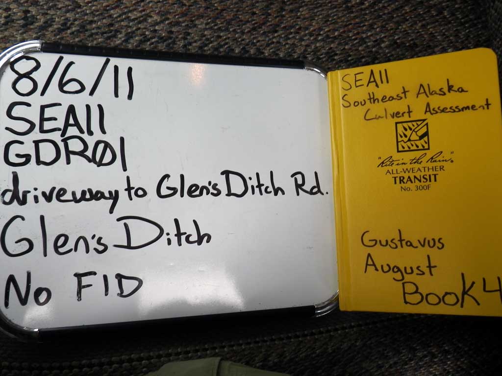
Fish Passage Site 10302247
Coordinates (dec. deg.): 58.41245°, -135.71274°
Legal Description: C040S059E17
Region: Southeast
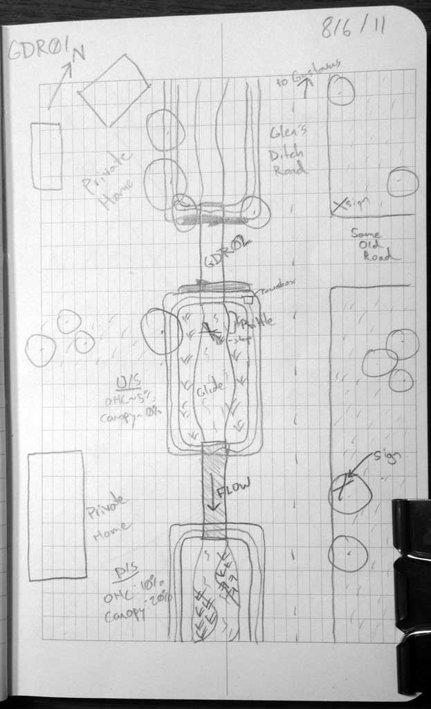
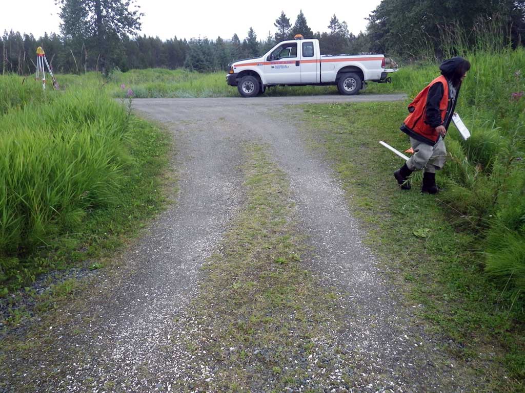
Road Name: Glen's Ditch Road
Datum: NAD83
Quad Name / ITM: Juneau B-6
AWC Stream #:
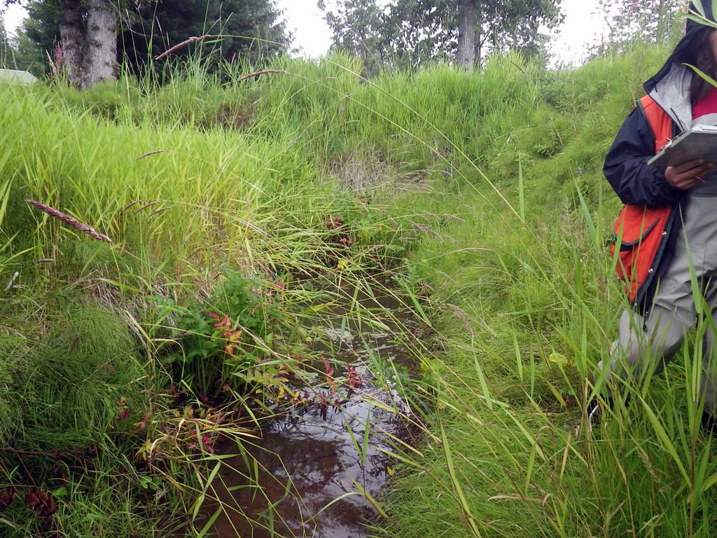
Stream Name: Glen's Ditch
Elevation:
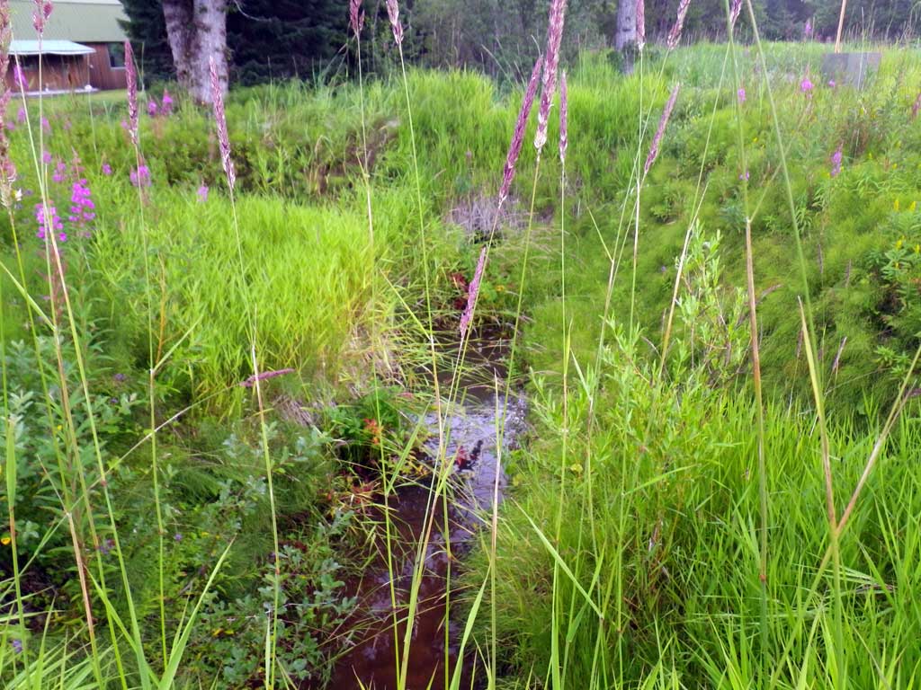
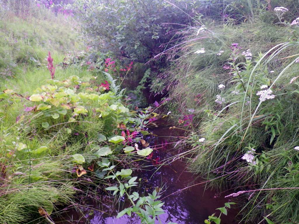
Site Comments: Site is just downstream from GDR02.
Survey SEA11-GDR01
Project Supervisor: Gillian O'Doherty, Alaska Department of Fish and Game
— Anchorage, AK
Observers: Jason Olds, Charmagne Gutierrez
Overall Fish Passage Rating:
Tidal: No
Backwatered: Yes
Step Pools: No
Construction Year:
Site Observations:
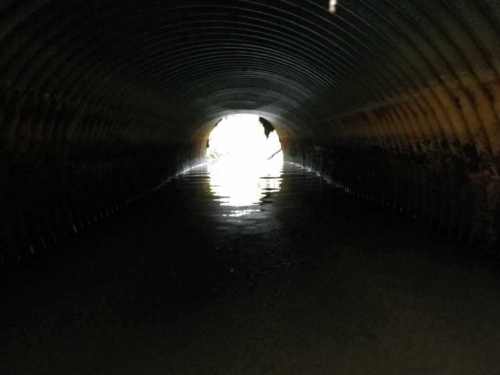
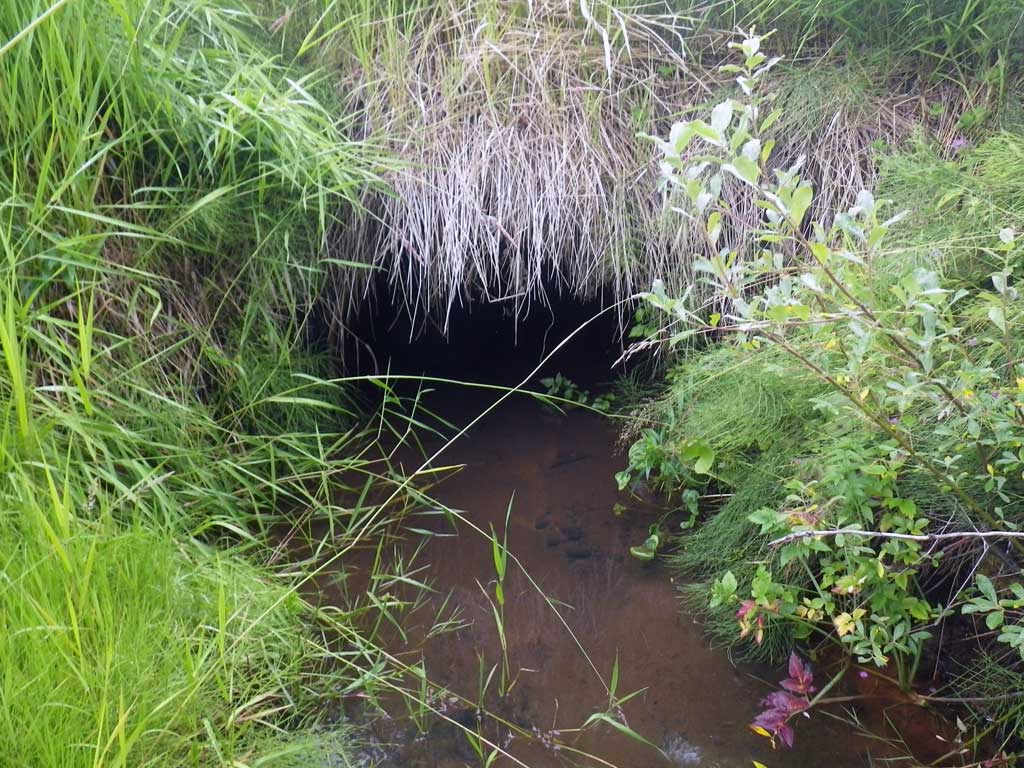
- Culvert is too short
Comments: Ditch upstream and downstream from culvert.
Culvert Measurements
| ID: 1 | Structure Type: Circular pipe (Corrugated steel) | Fish Passage Rating: | |||||||||||||||||||||||||||||||||||||||||
|
|
|
|||||||||||||||||||||||||||||||||||||||||
Comments: Ditch: Young of Year Upstream/Downstream. * Pipe grade calculated with Water surface Elevation: Extreme substrate differences created unnatural representation of gradient where system be backwatered further down stream in a nearly continous glide where a TWC was not found but juvinle fish swimmimg throughout pipe in nearly flatwatered conditions suggest a 14% GRADIENT to be a gross representation of passage conditions. |
|||||||||||||||||||||||||||||||||||||||||||
Culvert Observations:
|
|||||||||||||||||||||||||||||||||||||||||||
Stream Measurements
|
|
No stream width data available.
Elevations
| Locator ID | Culvert Number |
River Distance (ft)1 |
Distance From Crossing (ft)2 |
Relative Elevation (ft) |
|---|---|---|---|---|
| Road Elev | 96.32 | |||
| Misc. (No discernable tailcrest) | 0.00 | 91.34 | ||
| D/S Water Surface Elev | 0.00 | 91.97 | ||
| D/S Water Surface Elev | 30.00 | 91.98 | ||
| Outlet Thalweg | 30.00 | 90.71 | ||
| U/S Headwater | 50.60 | 91.99 | ||
| Inlet Thalweg | 50.60 | 91.55 |
Notes:
- River distance is measured continuously throughout the survey reach along the thalweg of the stream.
- Measured from each end of the crossing along the thalweg of the stream.
Fish Sampling Efforts
| Gear Type: Visual Observation, Ground (A) | Trap Duration(h): 30.0 | |
| Channel Type: Main Channel (>50% of water flow) | ||
| Comments: Observed inidentified juveniles upstream and downstream from culvert. | ||
| Gear Type: Visual Observation, Ground (B) | Trap Duration(h): 30.0 | |
| Channel Type: Main Channel (>50% of water flow) | ||
Fish Observations
No fish observations occurred during this survey.
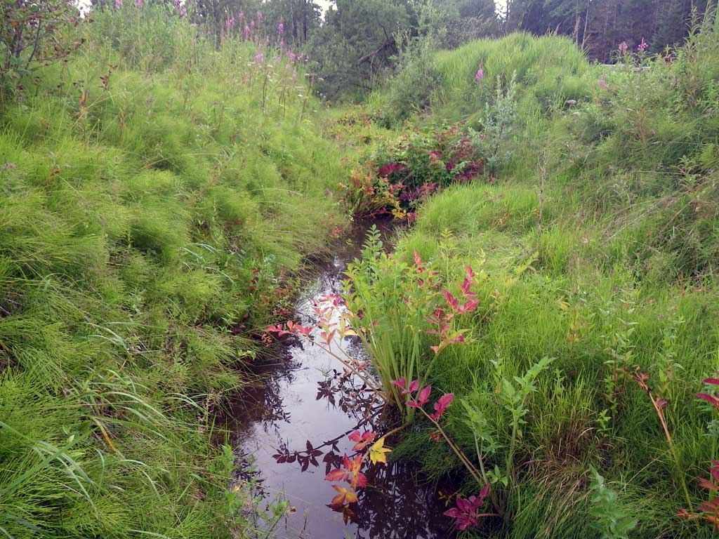
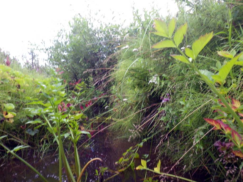
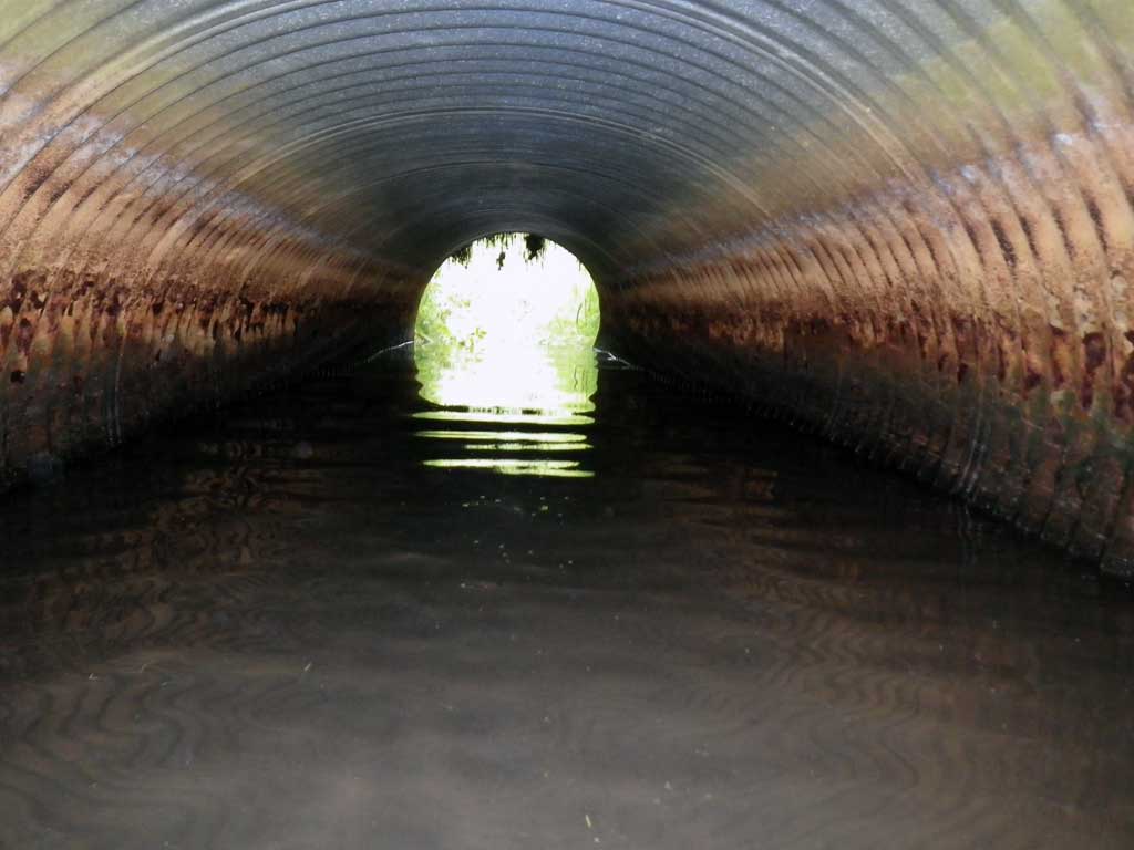
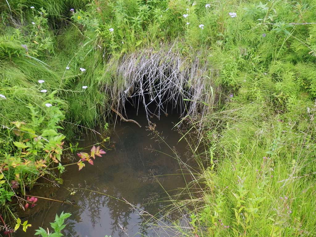
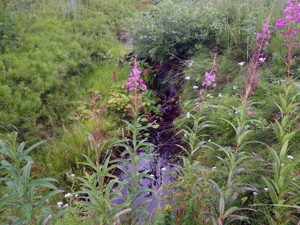
Photos
Questions or comments about this report can be directed to dfg.dsf.webmaster@alaska.gov