Fish Passage Site 10302243
Coordinates (dec. deg.): 58.43984°, -135.67397°
Legal Description: C040S059E04
Region: Southeast
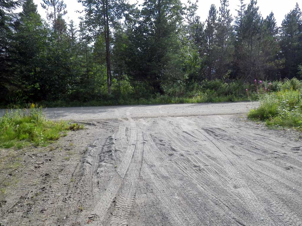
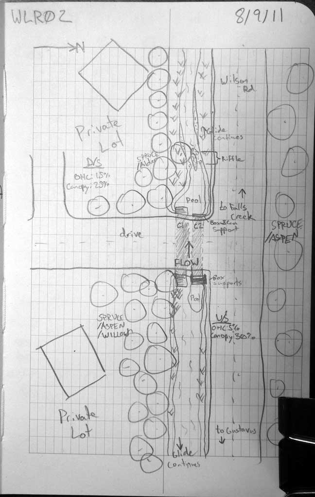
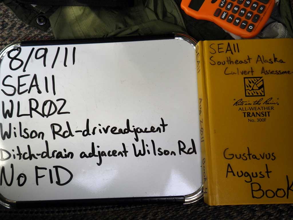
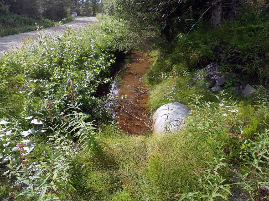
Road Name: Wilson Road, drive adjacent
Datum: NAD83
Quad Name / ITM: Juneau B-6
AWC Stream #:
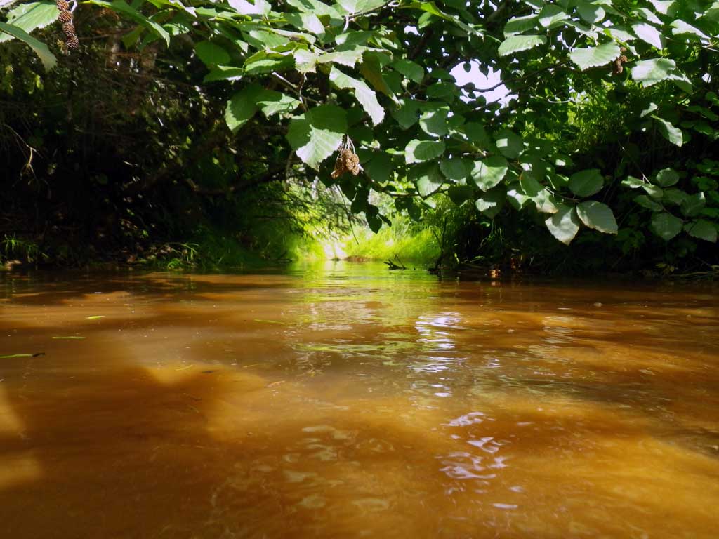
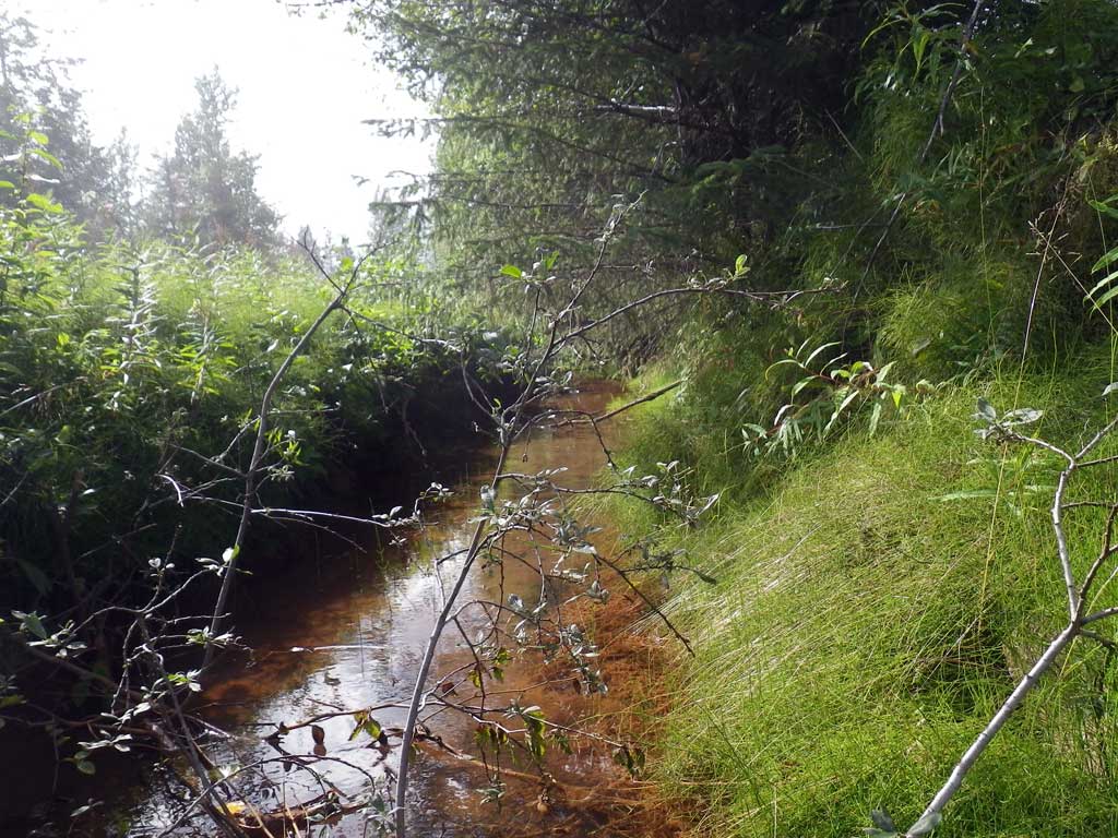
Stream Name: Unnamed
Elevation:
Site Comments: Drive way on Wilson Road.
Survey SEA11-WLR02
Project Supervisor: Gillian O'Doherty, Alaska Department of Fish and Game
— Anchorage, AK
Observers: Jason Olds, Charmagne Gutierrez
Overall Fish Passage Rating:
Tidal: No
Backwatered: Yes
Step Pools: No
Construction Year:
Site Observations:
- Constriction ratio gray
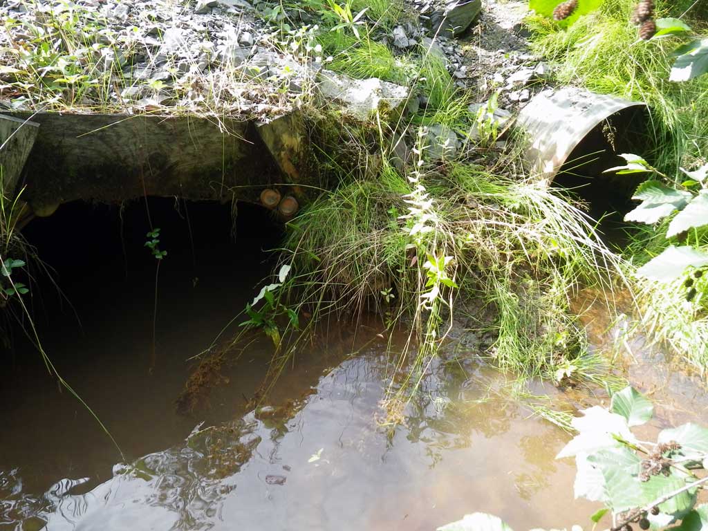
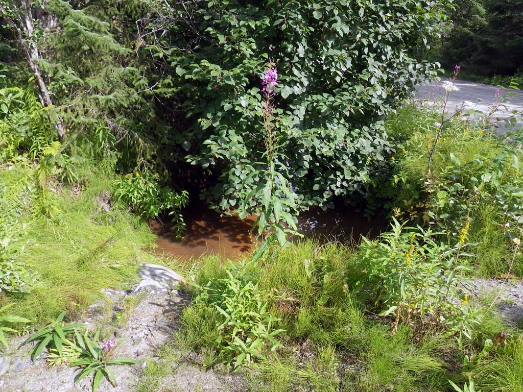
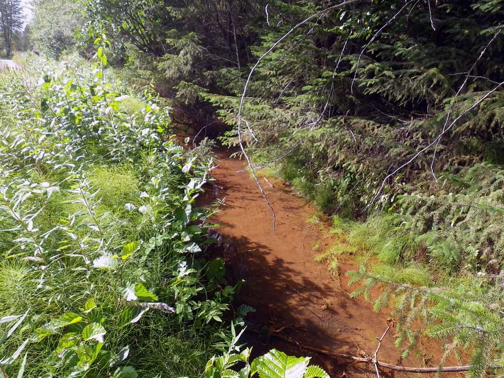
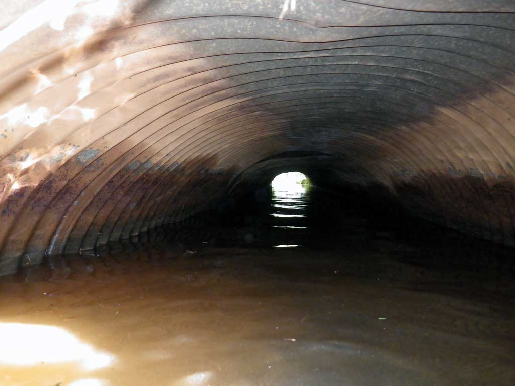
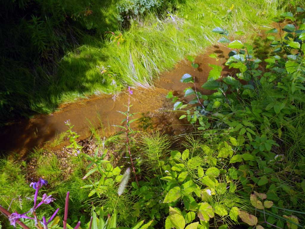
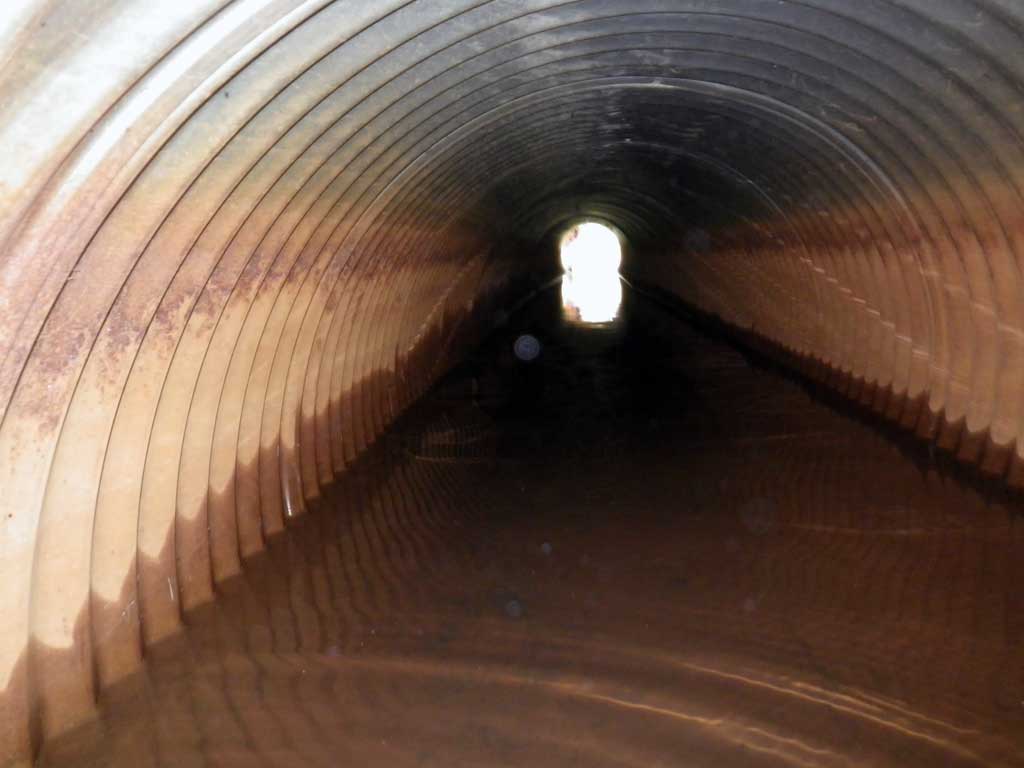
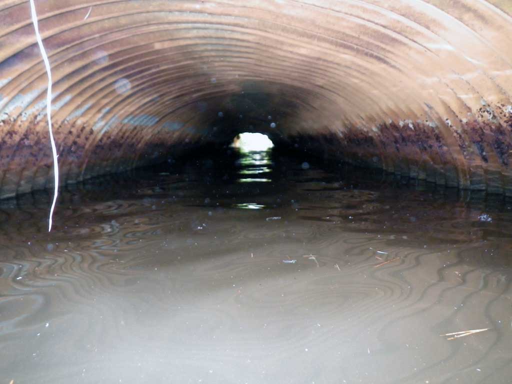
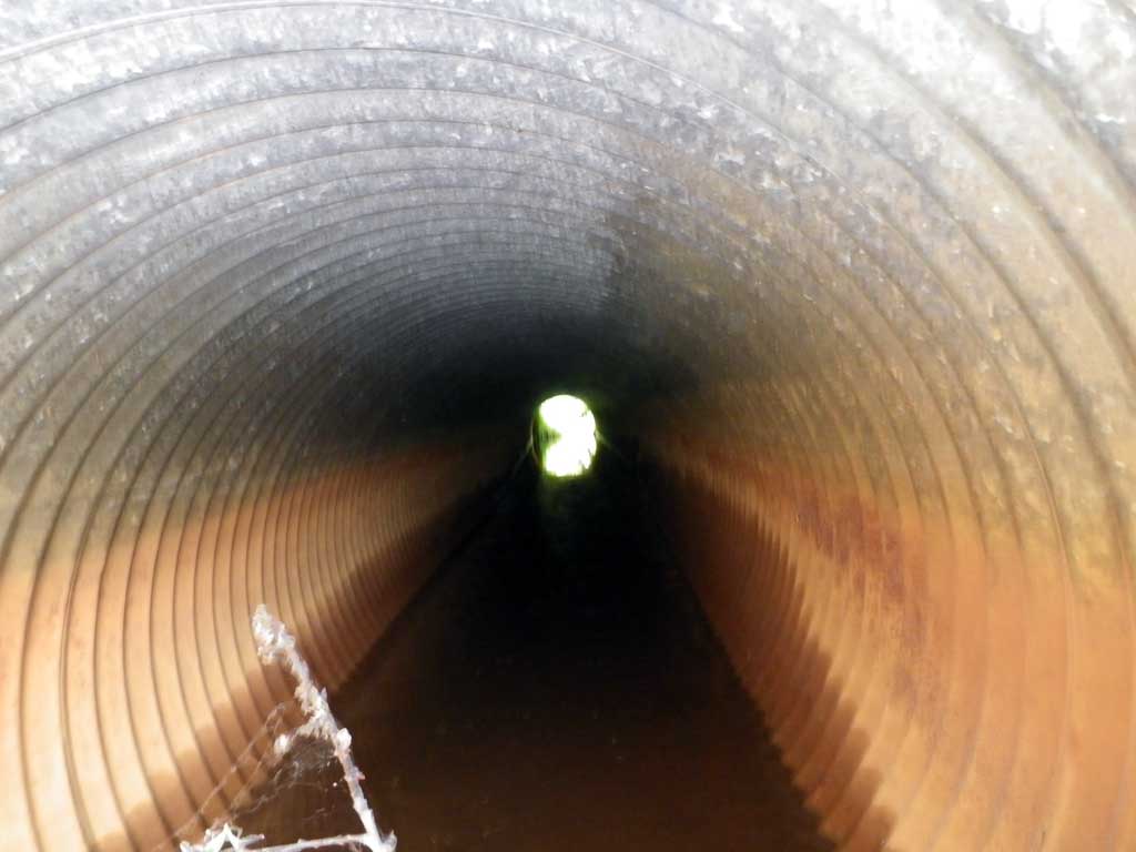
Comments: Waterway akready in AWC. Visually observed juvenile salmonids upstream and downstream of culvert. Likely channels shifted from those shown on map to roadside ditches.
Culvert Measurements
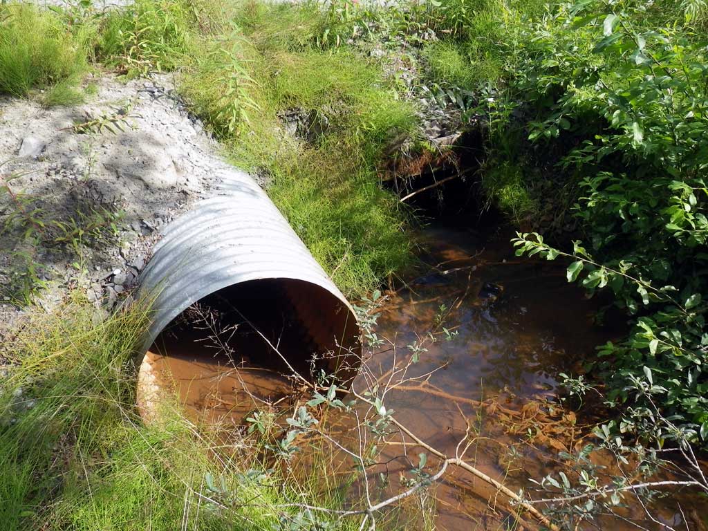
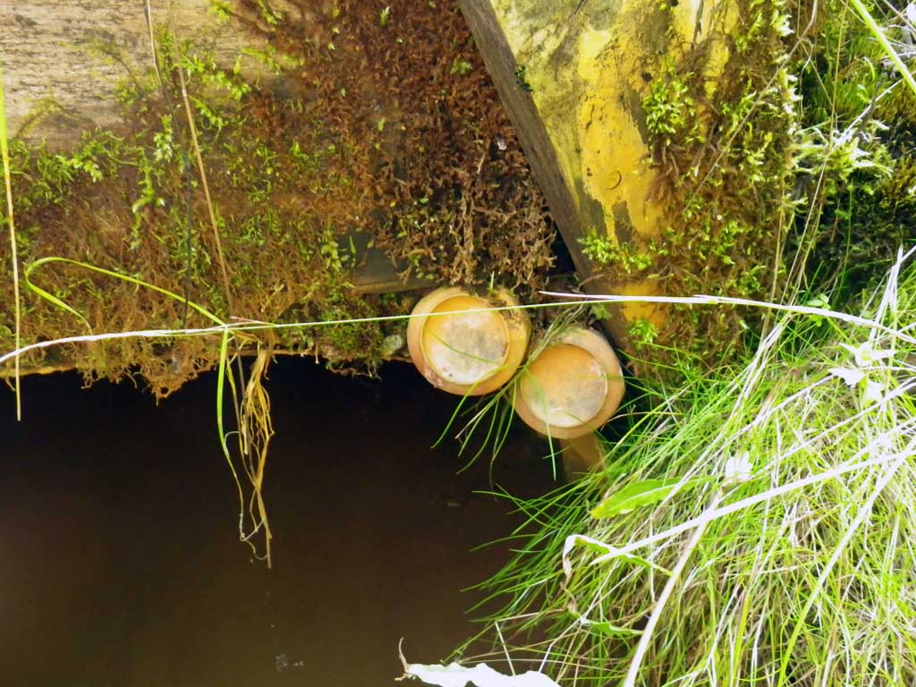
| ID: 1 | Structure Type: Circular pipe (Corrugated steel) | Fish Passage Rating: | |||||||||||||||||||||||||||||||||||||||||
|
|
|
|||||||||||||||||||||||||||||||||||||||||
Culvert Observations:
|
|||||||||||||||||||||||||||||||||||||||||||
| ID: 2 | Structure Type: Pipe-arch (Corrugated steel) | Fish Passage Rating: | |||||||||||||||||||||||||||||||||||||||||
|
|
|
|||||||||||||||||||||||||||||||||||||||||
Culvert Observations:
|
|||||||||||||||||||||||||||||||||||||||||||
Stream Measurements
|
|
| Stream Width Type | Distance From Crossing (ft) |
Stream Width (ft) |
|---|---|---|
| Upstream ordinary high water | 35.0 | 7.40 |
| Upstream ordinary high water | 51.0 | 7.20 |
| Upstream ordinary high water | 72.0 | 5.40 |
Elevations
| Locator ID | Culvert Number |
River Distance (ft)1 |
Distance From Crossing (ft)2 |
Relative Elevation (ft) |
|---|---|---|---|---|
| Road Elev | 99.21 | |||
| D/S Tailcrest or 1st Thalweg | 0.00 | 95.61 | ||
| D/S Water Surface Elev | 0.00 | 95.87 | ||
| Outlet Pool Water Elev | 19.00 | 95.89 | ||
| Max Pool Depth | 19.00 | 94.35 | ||
| Outlet Thalweg (c2) | 2 | 26.00 | 94.90 | |
| D/S Water Surface Elev (c1) | 1 | 26.00 | 95.89 | |
| D/S Water Surface Elev (c2) | 2 | 26.00 | 95.89 | |
| Outlet Culvert Top (c1) | 1 | 26.00 | 97.72 | |
| Outlet Thalweg (c1) | 1 | 26.00 | 95.42 | |
| U/S Headwater (c2) | 2 | 67.10 | 95.89 | |
| Inlet Thalweg (c2, end of miter) | 2 | 67.10 | 95.10 | |
| Inlet Thalweg (c1) | 1 | 70.40 | 95.40 | |
| U/S Headwater (c1) | 1 | 70.40 | 95.89 | |
| Inlet Culvert Top (c1) | 1 | 70.40 | 98.38 | |
| U/S Water Surface Elev (Stream gradient start) | 85.00 | 95.92 | ||
| U/S Water Surface Elev (Stream gradient end) | 225.00 | 95.50 |
Notes:
- River distance is measured continuously throughout the survey reach along the thalweg of the stream.
- Measured from each end of the crossing along the thalweg of the stream.
Fish Sampling Efforts
| Gear Type: Visual Observation, Ground (A) | ||
| Comments: Visual observation of juvenile salmonids upstream and downstream from culvert. | ||
Fish Observations
| Species: juvenile salmonid-unspecified | Life History: Unknown | ||
| Total Fish Observed: 4 | Fish Measured: | Fork Lengths (mm) Min: Max: Mean: | |
| Collected/Observed by Gear Type: At Site Visual Observation, Ground (4) | |||
Photos
Questions or comments about this report can be directed to dfg.dsf.webmaster@alaska.gov