Fish Passage Site 10302241
Coordinates (dec. deg.): 58.43685°, -135.64516°
Legal Description: C040S059E03
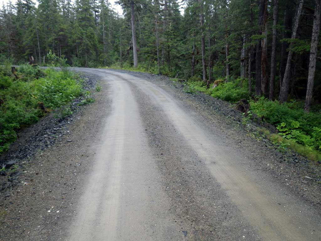
Region: Southeast
Road Name: Wilson Road
Datum: NAD83
Quad Name / ITM: Juneau B-5
AWC Stream #:
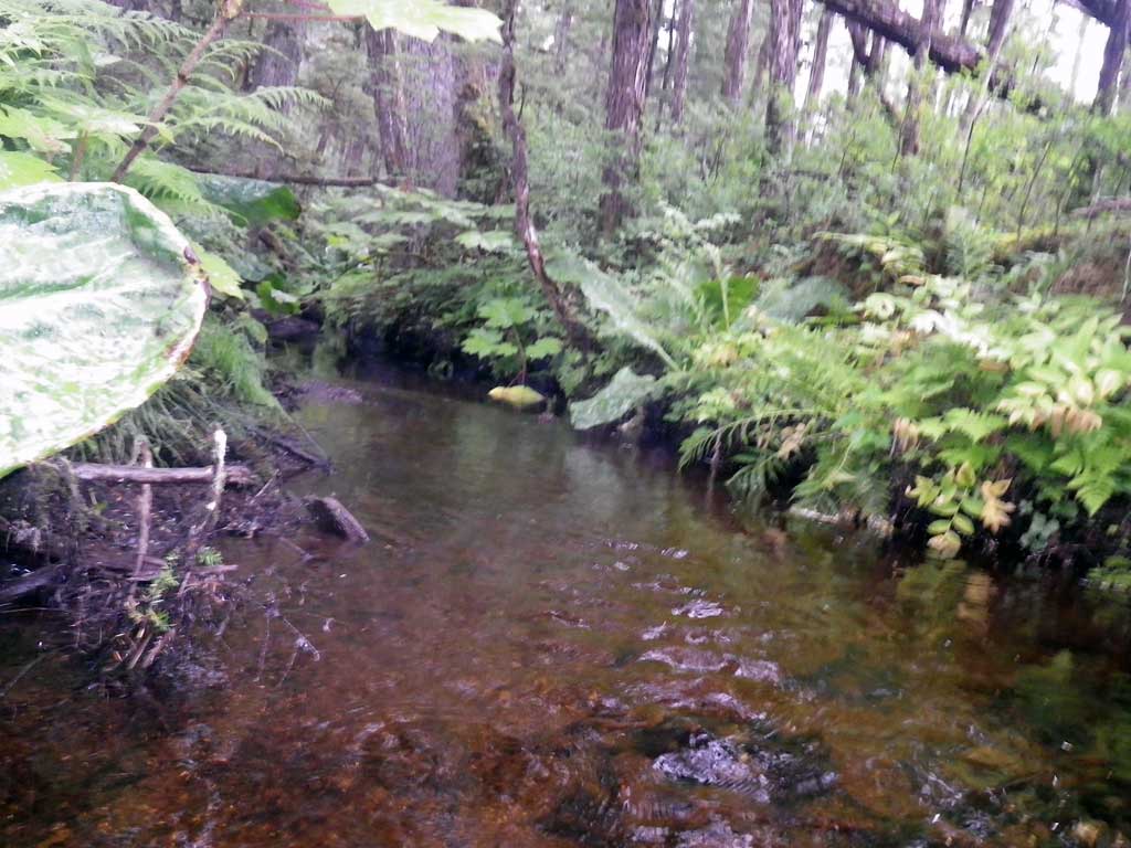
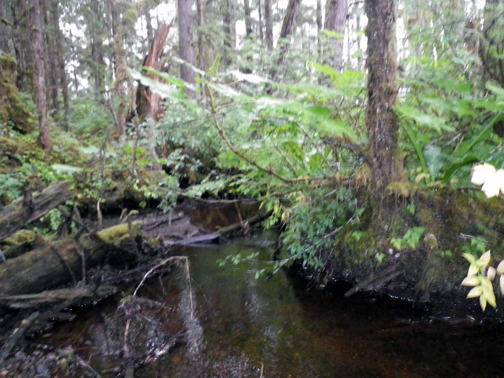
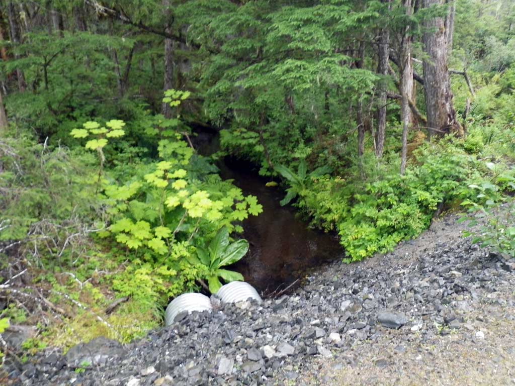
Stream Name: Rink Creek
Elevation:
Site Comments: None
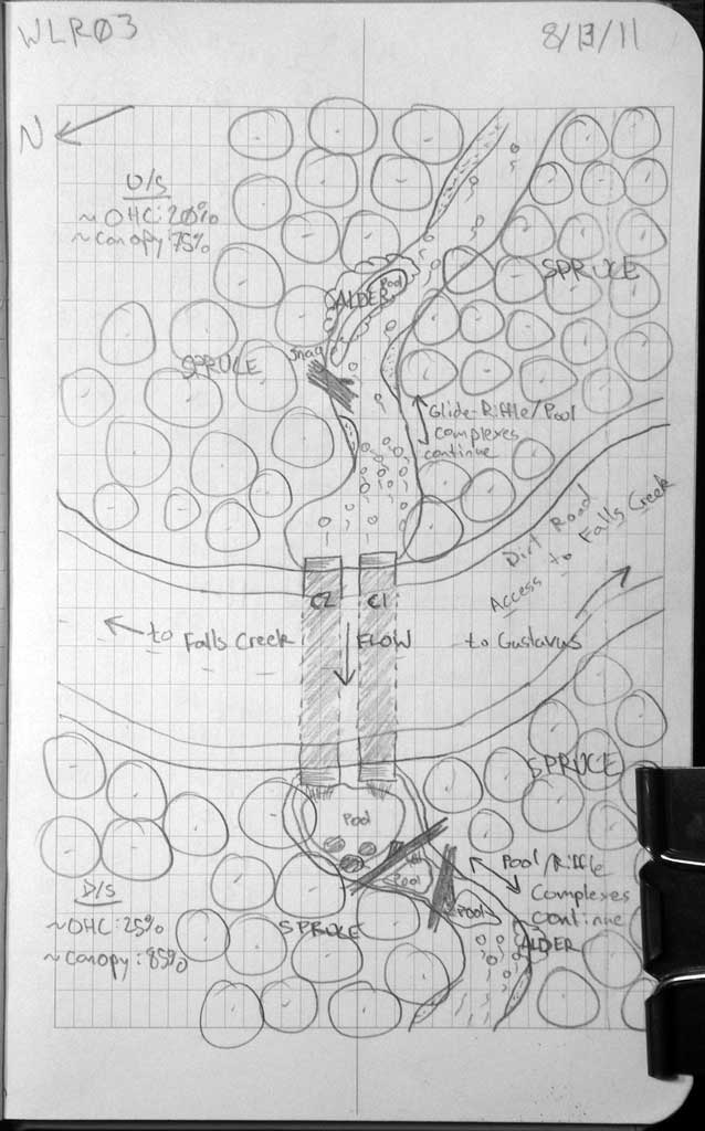
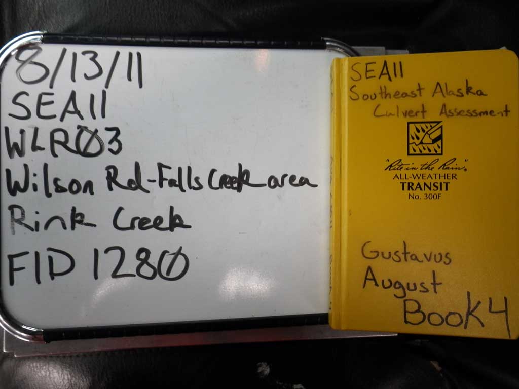
Survey SEA11-WLR03
Project Supervisor: Gillian O'Doherty, Alaska Department of Fish and Game
— Anchorage, AK
Observers: Jason Olds, Charmagne Gutierrez
Overall Fish Passage Rating:
Tidal: No
Backwatered: No
Step Pools: No
Construction Year:
Site Observations:
- Outfall height red
- Constriction ratio gray
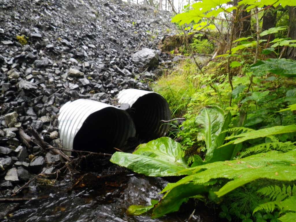
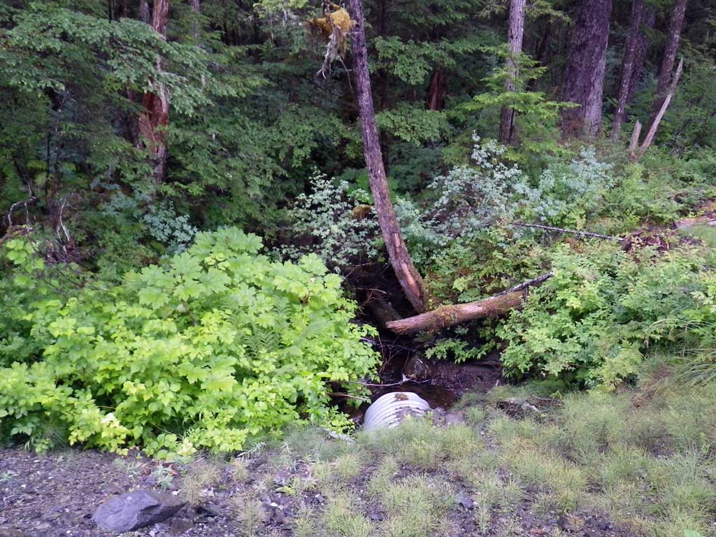
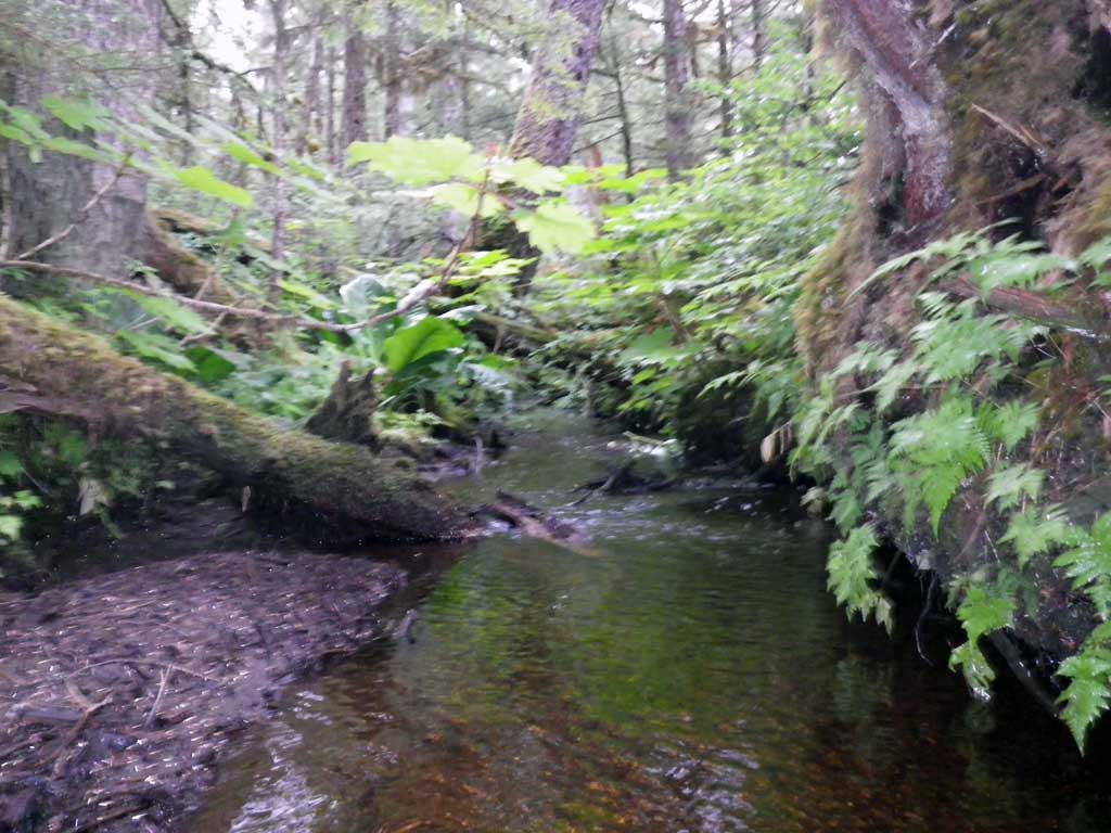
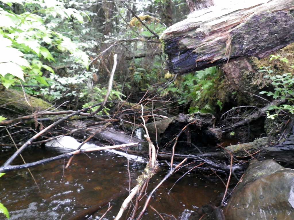
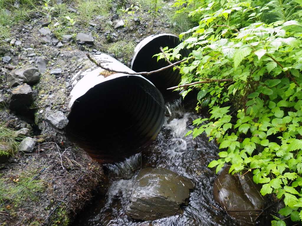
Comments: Nice fish habitat. Pool/Riffle continuous upstream and downstream. Fish observed upstream and downstream of culverts. On Steep Road to Falls Creek Hydro-electric dam and trailhead. No stream grade calculated, too much foilage.
Culvert Measurements
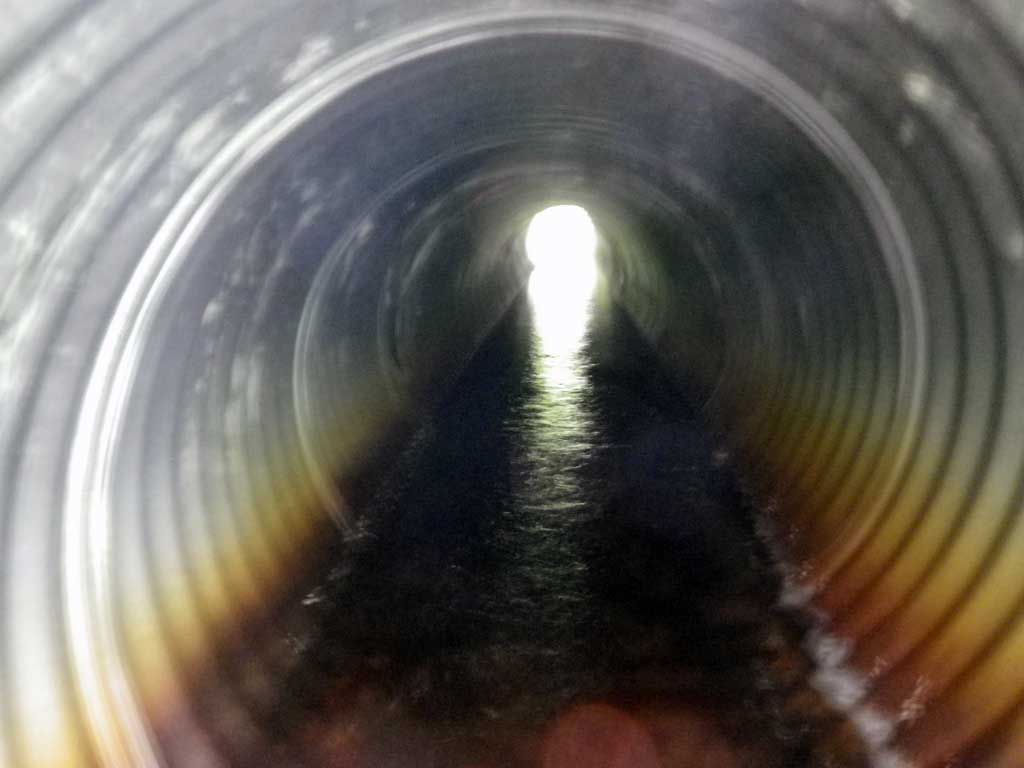
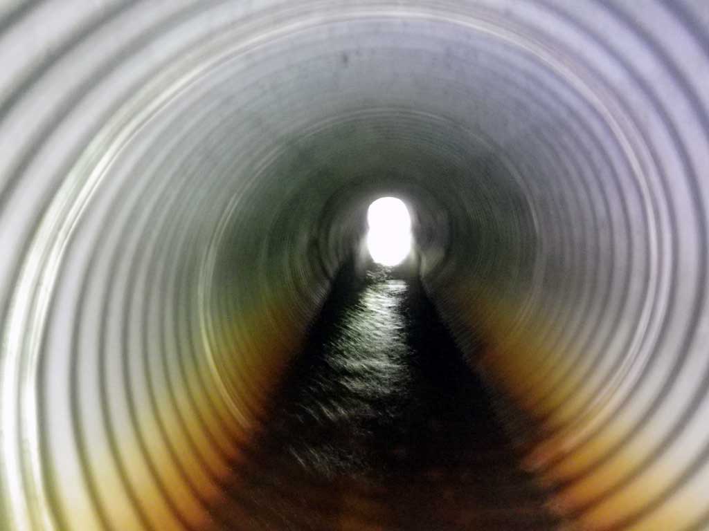
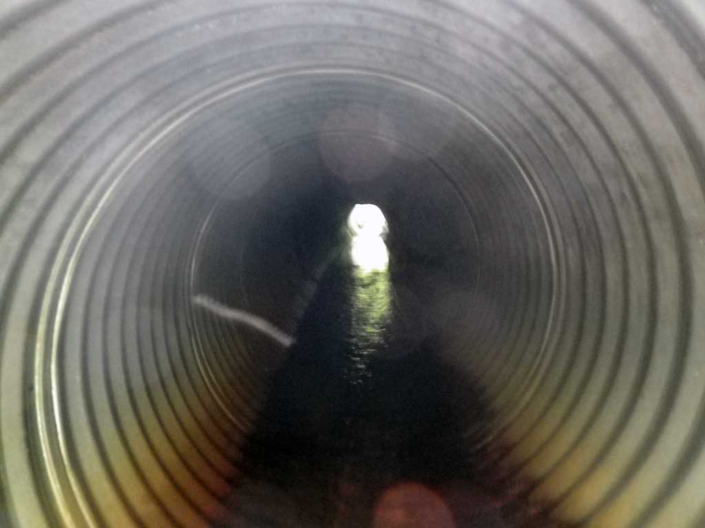
| ID: 1 | Structure Type: Circular pipe (Corrugated steel) | Fish Passage Rating: | |||||||||||||||||||||||||||||||||||||||||
|
|
|
|||||||||||||||||||||||||||||||||||||||||
Culvert Observations:
|
|||||||||||||||||||||||||||||||||||||||||||
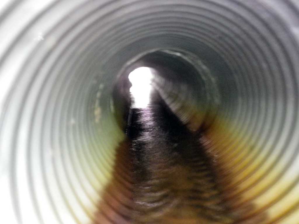
| ID: 2 | Structure Type: Circular pipe (Corrugated steel) | Fish Passage Rating: | |||||||||||||||||||||||||||||||||||||||||
|
|
|
|||||||||||||||||||||||||||||||||||||||||
Culvert Observations:
|
|||||||||||||||||||||||||||||||||||||||||||
Stream Measurements
|
|
| Stream Width Type | Distance From Crossing (ft) |
Stream Width (ft) |
|---|---|---|
| Upstream ordinary high water | 50.0 | 6.20 |
| Upstream ordinary high water | 100.0 | 5.90 |
| Upstream ordinary high water | 150.0 | 6.70 |
Elevations
| Locator ID | Culvert Number |
River Distance (ft)1 |
Distance From Crossing (ft)2 |
Relative Elevation (ft) |
|---|---|---|---|---|
| Road Elev | 101.50 | |||
| D/S Grade Ctrl (Thalweg) | 0.00 | 90.65 | ||
| D/S Water Surface Elev | 0.00 | 90.81 | ||
| D/S Tailcrest or 1st Thalweg | 18.00 | 90.68 | ||
| D/S Water Surface Elev | 18.00 | 91.29 | ||
| Max Pool Depth | 20.00 | 90.62 | ||
| Outlet Pool Water Elev | 20.00 | 91.28 | ||
| Outlet Invert (C2) | 2 | 23.00 | 91.47 | |
| D/S Water Surface Elev (C2) | 2 | 23.00 | 91.63 | |
| Outlet Culvert Top (C2) | 2 | 23.00 | 94.01 | |
| Outlet Culvert Top (C1) | 1 | 25.00 | 94.15 | |
| D/S Water Surface Elev (C1) | 1 | 25.00 | 91.83 | |
| Outlet Invert (C1) | 1 | 25.00 | 91.55 | |
| Inlet Culvert Invert (C2) | 2 | 66.80 | 91.76 | |
| U/S Water Surface Elev (C2) | 2 | 66.80 | 92.01 | |
| Inlet Culvert Top (C2) | 2 | 66.80 | 94.34 | |
| Inlet Culvert Top (C1) | 1 | 68.90 | 94.17 | |
| U/S Water Surface Elev (C1) | 1 | 68.90 | 91.93 | |
| Inlet Culvert Invert (C1) | 1 | 68.90 | 91.53 | |
| U/S Headwater | 70.00 | 92.27 |
Notes:
- River distance is measured continuously throughout the survey reach along the thalweg of the stream.
- Measured from each end of the crossing along the thalweg of the stream.
Fish Sampling Efforts
| Gear Type: Visual Observation, Ground (A) | Trap Duration(h): 0.25 | |
| Channel Type: Main Channel (>50% of water flow) | ||
| Comments: Visual juvenile fish observed upstream and dowstream of culvert. | ||
| Gear Type: Visual Observation, Ground (B) | Trap Duration(h): 0.25 | |
| Channel Type: Main Channel (>50% of water flow) | ||
| Comments: Visual observations of juvenile fish | ||
Fish Observations
| Species: juvenile salmonid-unspecified | Life History: Unknown | ||
| Total Fish Observed: 2 | Fish Measured: 2 | Fork Lengths (mm) Min: 80 Max: 80 Mean: 80 | |
| Collected/Observed by Gear Type: Downstream Visual Observation, Ground (1) Upstream Visual Observation, Ground (1) | |||
Photos
Questions or comments about this report can be directed to dfg.dsf.webmaster@alaska.gov