Fish Passage Site 10302238
Coordinates (dec. deg.): 58.59278°, -134.90228°
Legal Description: C038S064E07
Region: Southeast
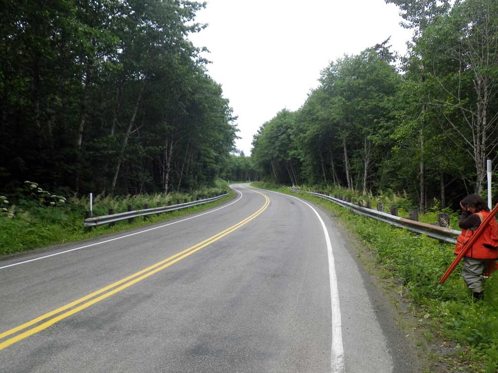
Road Name: Glacier Highway
Datum: NAD83
Quad Name / ITM: Juneau C-3
AWC Stream #:
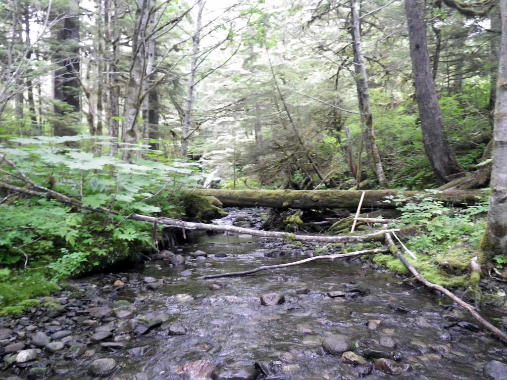
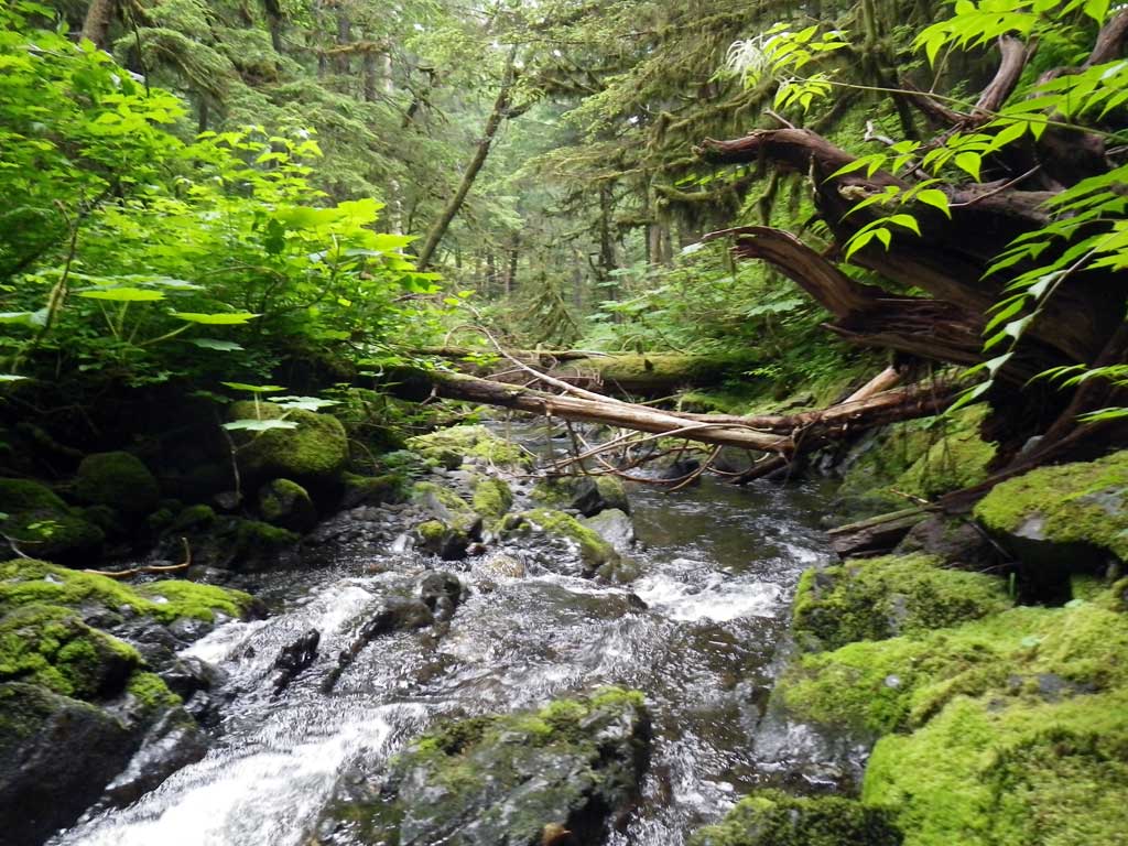
Stream Name: Bessie Creek
Elevation:
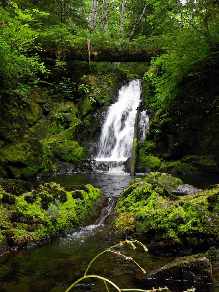
Site Comments: Glacier Highway at MP 35
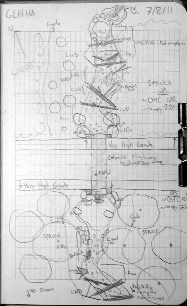
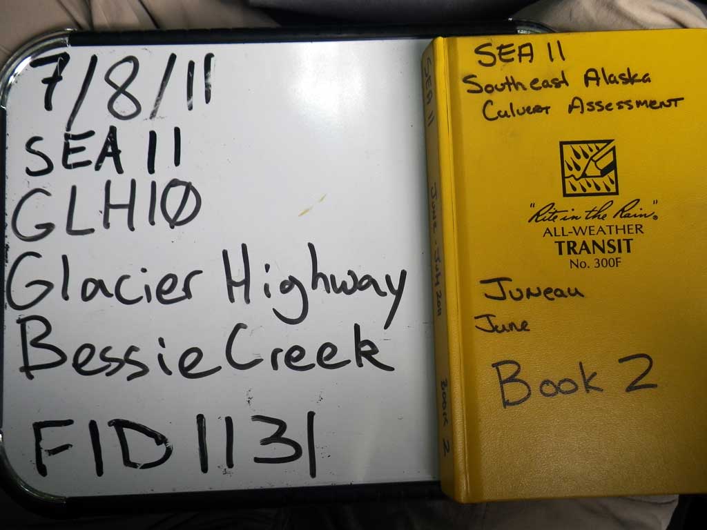
Survey SEA11-GLH10
Project Supervisor: Gillian O'Doherty, Alaska Department of Fish and Game
— Anchorage, AK
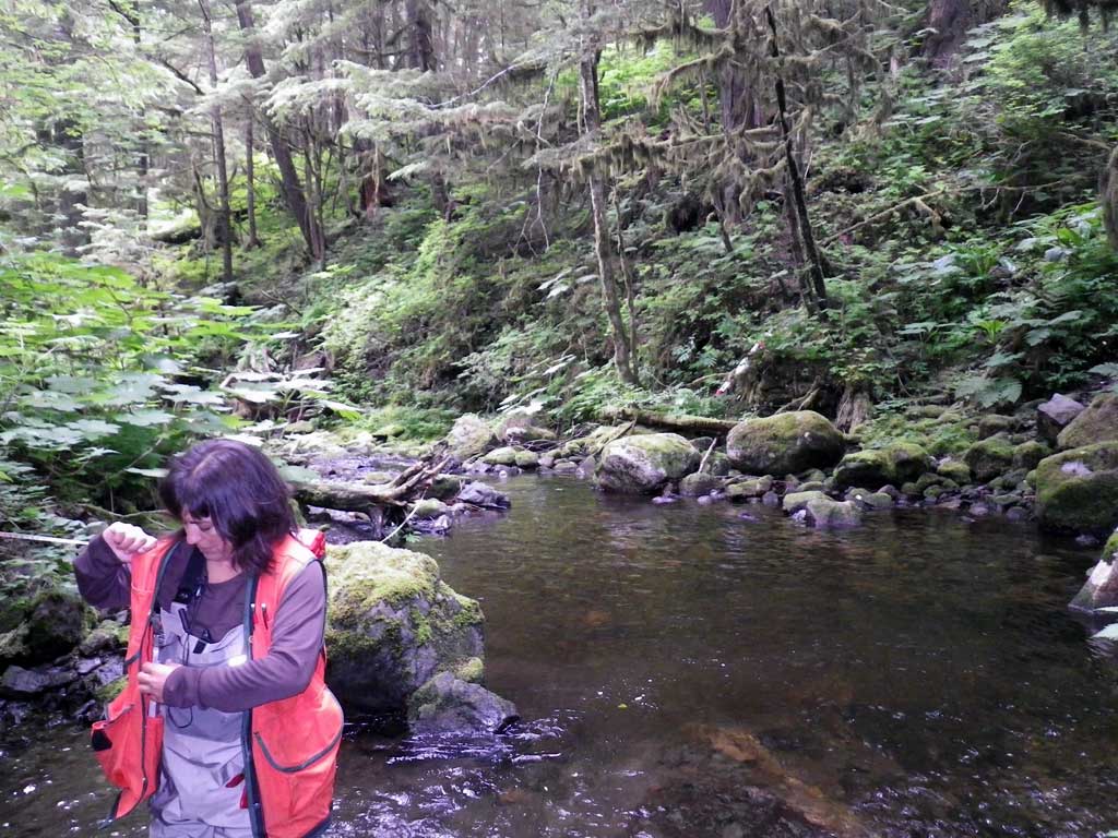
Observers: Jason Olds, Charmagne Gutierrez
Overall Fish Passage Rating:
Tidal: No
Backwatered: No
Step Pools: No
Construction Year:
Site Observations:
- Culvert gradient red
- Outfall height red
- Constriction ratio red
Comments: None
Culvert Measurements
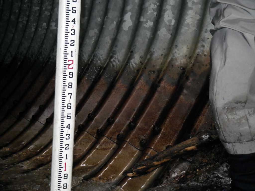
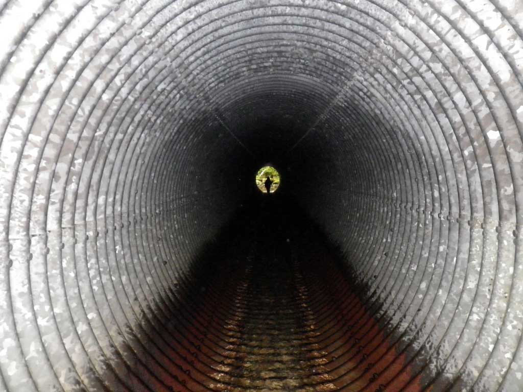
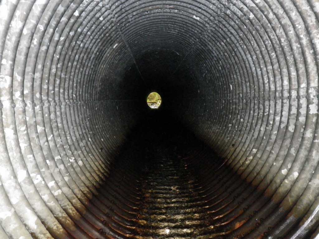
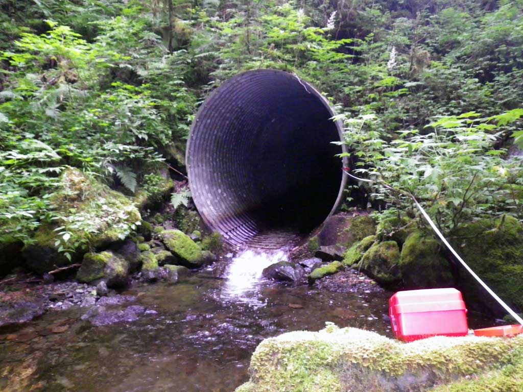
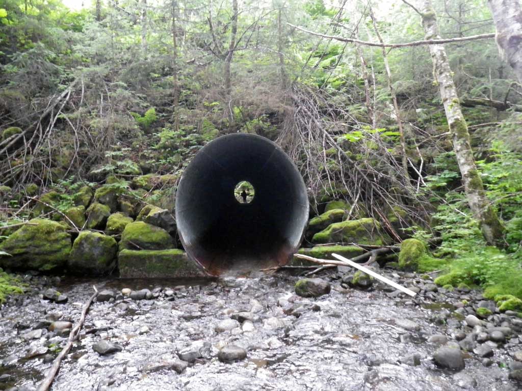
| ID: 1 | Structure Type: Oval (Structural steel plate) | Fish Passage Rating: | |||||||||||||||||||||||||||||||||||||||||
|
|
|
|||||||||||||||||||||||||||||||||||||||||
Comments: 3' conrete Footer @ inlet and outlet. Stream grade obtained using only 6.5 times mean OHW because channel terminates at ~20 waterfall. * Oval pipe Vertical |
|||||||||||||||||||||||||||||||||||||||||||
Culvert Observations:
|
|||||||||||||||||||||||||||||||||||||||||||
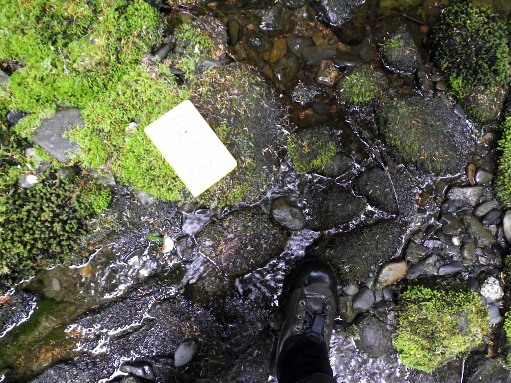
Stream Measurements
|
|
| Stream Width Type | Distance From Crossing (ft) |
Stream Width (ft) |
|---|---|---|
| Upstream ordinary high water | 62.0 | 22.30 |
| Upstream ordinary high water | 101.0 | 21.50 |
| Upstream ordinary high water | 116.0 | 17.00 |
Elevations
| Locator ID | Culvert Number |
River Distance (ft)1 |
Distance From Crossing (ft)2 |
Relative Elevation (ft) |
|---|---|---|---|---|
| D/S Grade Ctrl (Thalweg) (Top of glide) | 0.00 | 89.95 | ||
| D/S Water Surface Elev | 0.00 | 90.68 | ||
| D/S Thalweg (Taken in the Thalweg of a continious riffle) | 28.00 | 92.52 | ||
| D/S Water Surface Elev | 28.00 | 93.05 | ||
| D/S Water Surface Elev | 37.00 | 93.50 | ||
| D/S Tailcrest or 1st Thalweg | 37.00 | 92.92 | ||
| Max Pool Depth | 55.00 | 90.70 | ||
| Outlet Pool Water Elev | 55.00 | 93.56 | ||
| Outlet Invert (on metal) | 77.00 | 94.04 | ||
| D/S Water Surface Elev | 77.00 | 94.20 | ||
| Inlet Culvert Invert (on metal) | 217.00 | 101.96 | ||
| U/S Water Surface Elev (turbulent) | 217.00 | 102.38 | ||
| U/S Headwater (1st resting) | 217.00 | 102.42 | ||
| U/S Grade Ctrl (Thalweg) | 239.00 | 103.39 | ||
| U/S Water Surface Elev | 239.00 | 104.01 |
Notes:
- River distance is measured continuously throughout the survey reach along the thalweg of the stream.
- Measured from each end of the crossing along the thalweg of the stream.
Fish Sampling Efforts
| Gear Type: None (A) | ||
| Comments: No traps set no fish observed. | ||
Fish Observations
No fish observations occurred during this survey.
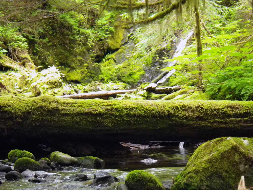
Photos
Questions or comments about this report can be directed to dfg.dsf.webmaster@alaska.gov