Fish Passage Site 10302236
Coordinates (dec. deg.): 58.52784°, -134.81674°
Legal Description: C039S064E03
Region: Southeast
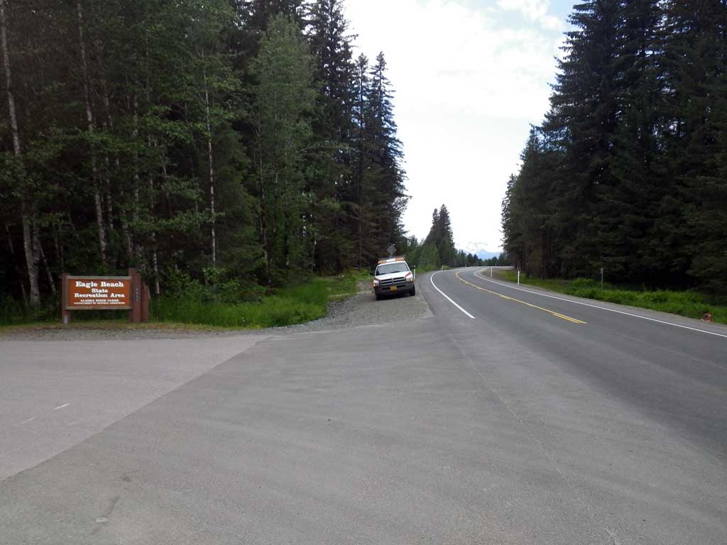
Road Name: Glacier Highway
Datum: NAD83
Quad Name / ITM: Juneau C-3
AWC Stream #:
Stream Name: Eagle River tributary
Elevation:
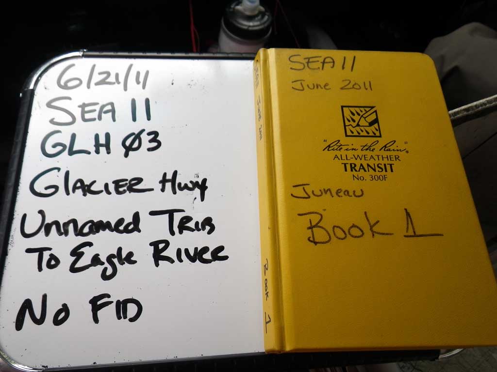
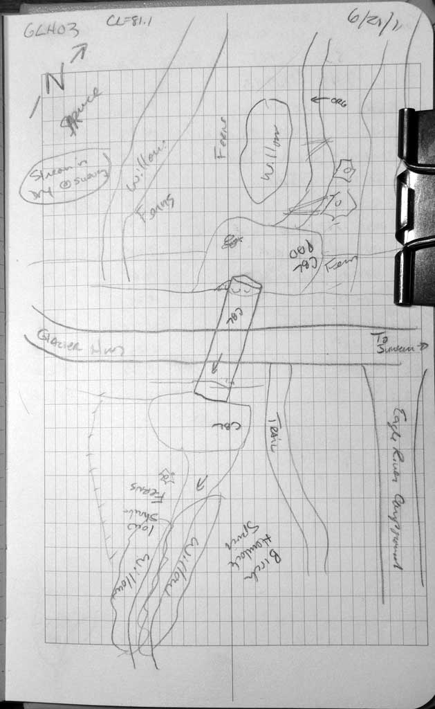
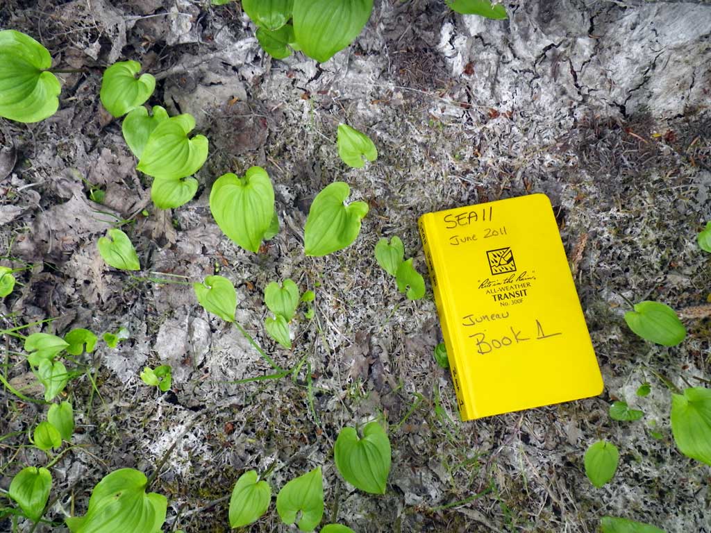
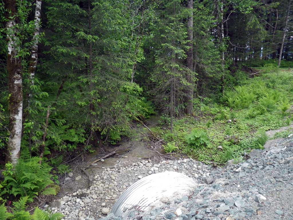
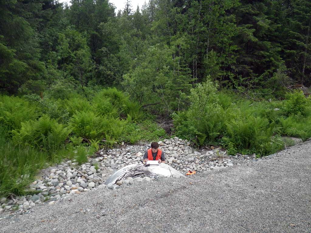
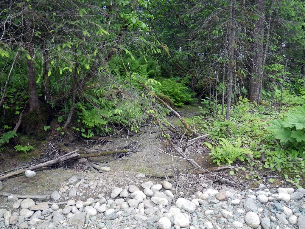
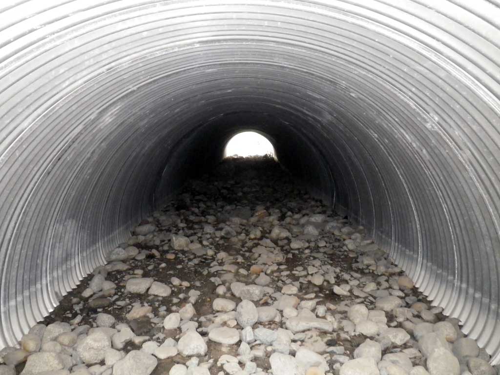
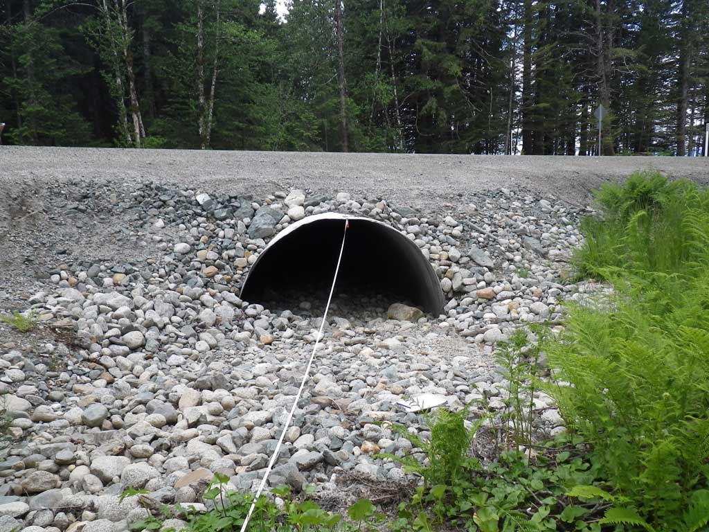
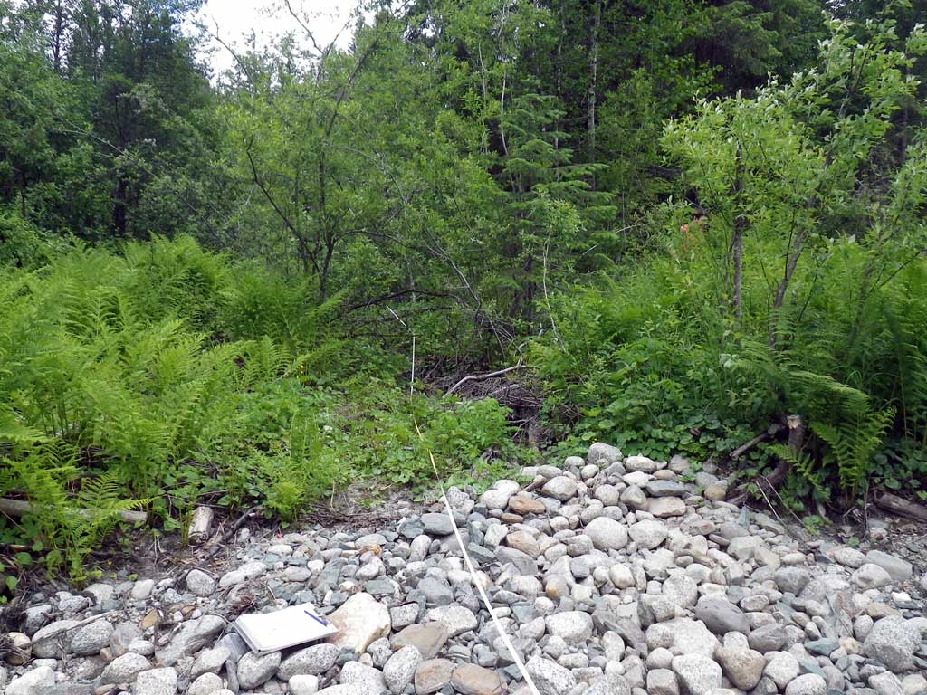
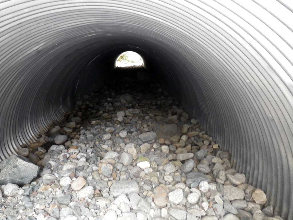
Site Comments: No traps set because stream was dry at time of survey, also in the AWC.
Survey SEA11-GLH03
Project Supervisor: Gillian O'Doherty, Alaska Department of Fish and Game
— Anchorage, AK
Observers: Mark Eisenman, Jason Olds
Overall Fish Passage Rating:
Tidal: Yes
Backwatered: No
Step Pools: No
Construction Year:
Site Observations:
- None of this type
Comments: None
Culvert Measurements
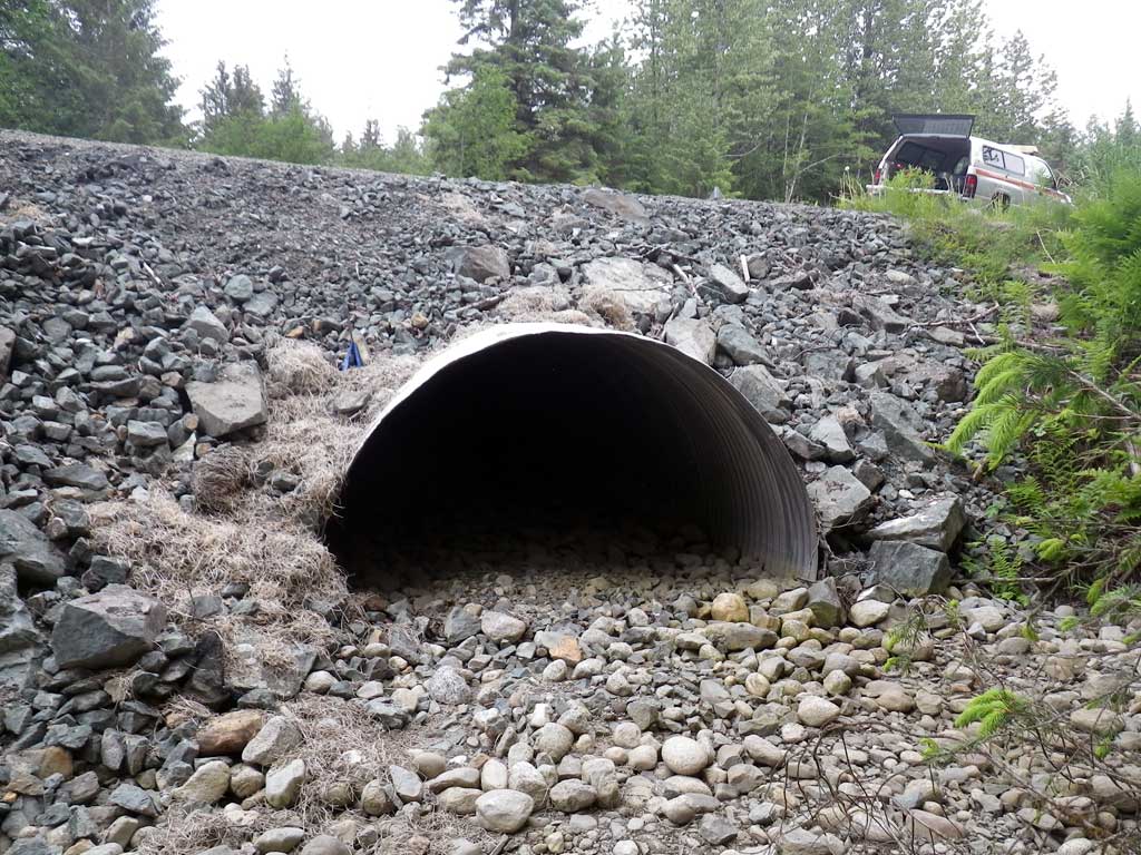
| ID: 1 | Structure Type: Pipe-arch (Corrugated steel) | Fish Passage Rating: | ||||||||||||||||||||||||||||||||||||||||||
|
|
|
||||||||||||||||||||||||||||||||||||||||||
Comments: As creek was dry at time of survey, substrate elevations were used to calculate stream gradient. |
||||||||||||||||||||||||||||||||||||||||||||
Culvert Observations:
|
||||||||||||||||||||||||||||||||||||||||||||
Stream Measurements
|
|
| Stream Width Type | Distance From Crossing (ft) |
Stream Width (ft) |
|---|---|---|
| Upstream ordinary high water | 23.0 | 3.80 |
| Upstream ordinary high water | 54.0 | 3.90 |
| Upstream ordinary high water | 73.0 | 3.80 |
Elevations
| Locator ID | Culvert Number |
River Distance (ft)1 |
Distance From Crossing (ft)2 |
Relative Elevation (ft) |
|---|---|---|---|---|
| Road Elev | 104.83 | |||
| D/S Grade Ctrl (Thalweg) (Dry) | 0.00 | 94.88 | ||
| D/S Tailcrest or 1st Thalweg (Dry) | 25.00 | 94.97 | ||
| Outlet Thalweg (Invert out, on substrate, dry) | 35.00 | 95.48 | ||
| Outlet Culvert Top (Invert out, on metal, TBM) | 35.00 | 100.00 | ||
| Inlet Culvert Top (Invert in, on metal) | 116.10 | 100.98 | ||
| Inlet Thalweg (Invert in, on substrate, dry) | 116.10 | 96.46 | ||
| U/S Grade Ctrl (Thalweg) (Dry) | 131.10 | 97.76 | ||
| U/S Grade Ctrl (Thalweg) (Dry) | 134.10 | 97.10 | ||
| U/S Grade Ctrl (Thalweg) (Dry) | 148.10 | 96.72 | ||
| U/S Grade Ctrl (Thalweg) (Dry) | 159.10 | 97.20 | ||
| U/S Grade Ctrl (Thalweg) (Dry) | 193.10 | 97.06 | ||
| U/S Grade Ctrl (Thalweg) (Dry) | 212.10 | 97.28 |
Notes:
- River distance is measured continuously throughout the survey reach along the thalweg of the stream.
- Measured from each end of the crossing along the thalweg of the stream.
Fish Sampling Efforts
| Gear Type: None (A) | ||
| Comments: No traps set site was dry at time of survey. | ||
Fish Observations
No fish observations occurred during this survey.
Photos
Questions or comments about this report can be directed to dfg.dsf.webmaster@alaska.gov