Fish Passage Site 10302235
Coordinates (dec. deg.): 58.52740°, -134.81425°
Legal Description: C039S064E03
Region: Southeast
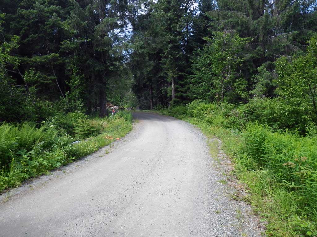
Road Name: Eagle River Camp Road
Datum: NAD83
Quad Name / ITM: Juneau C-3
AWC Stream #:
Stream Name: Eagle River tributary
Elevation:
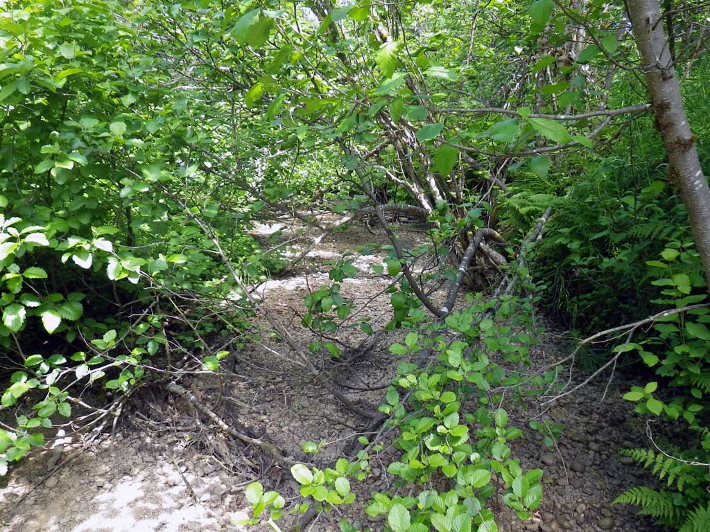
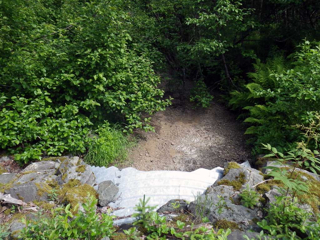
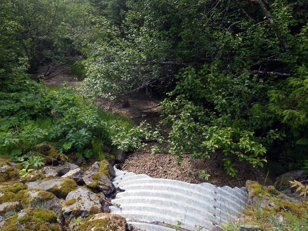
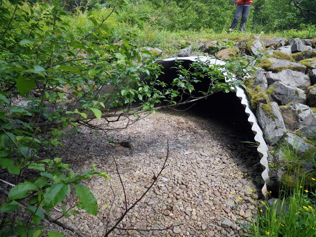
Site Comments: Dry Tidal ~150 downstream of GLH05
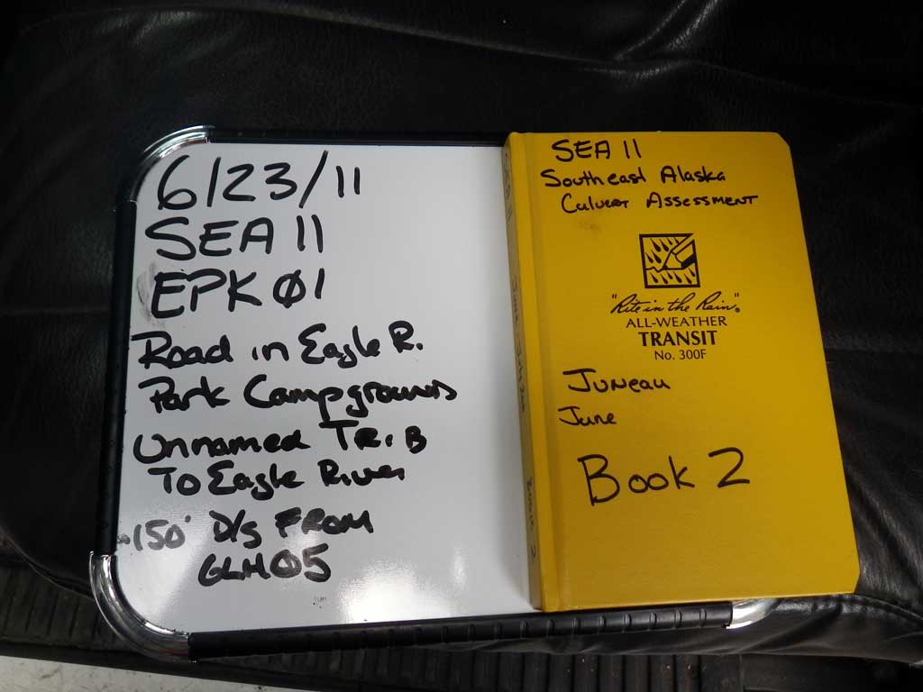
Survey SEA11-EPK01
Project Supervisor: Gillian O'Doherty, Alaska Department of Fish and Game
— Anchorage, AK
Observers: Mark Eisenman, Jason Olds
Overall Fish Passage Rating:
Tidal: Yes
Backwatered: No
Step Pools: No
Construction Year:
Site Observations:
- None of this type
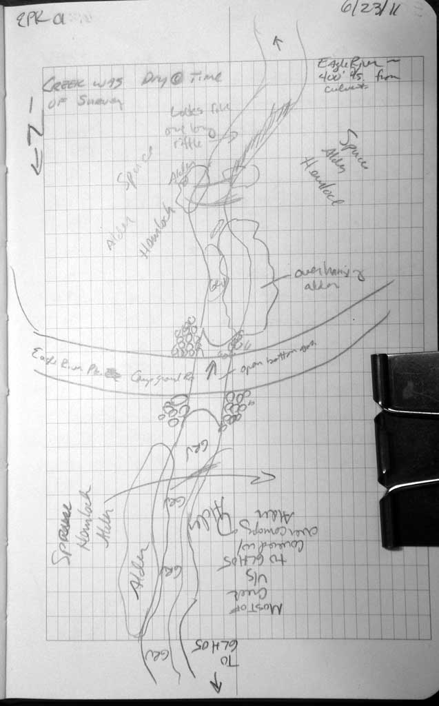
Comments: Upstream gradient measurment for stream grade inhibited by other culvert, stream widths taken downstream from culvert.
Culvert Measurements
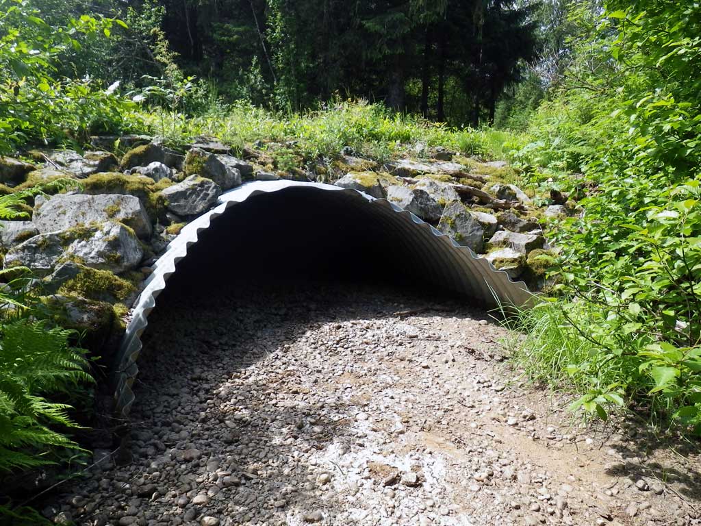
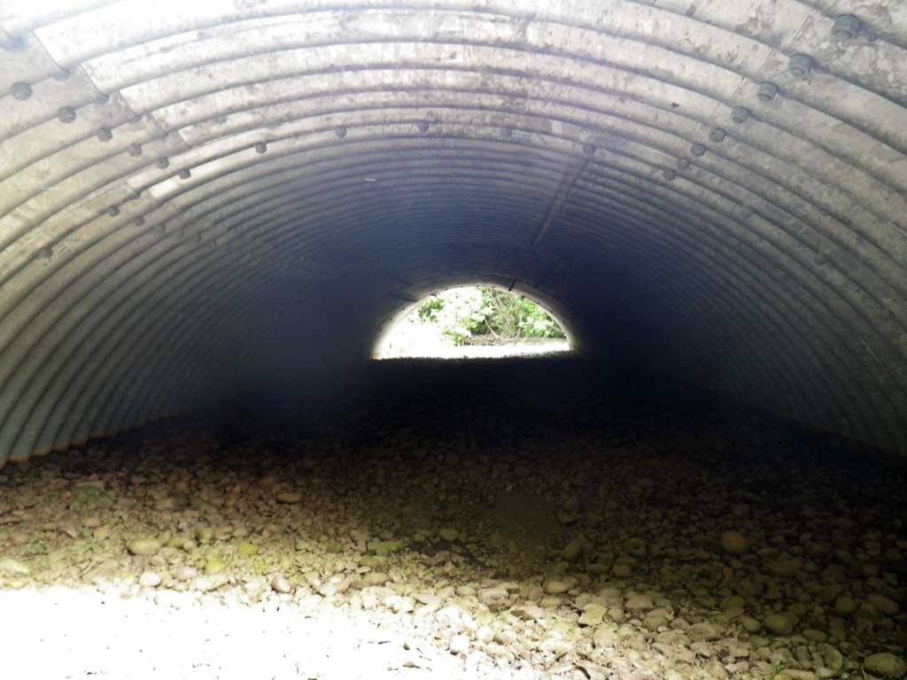
| ID: 1 | Structure Type: Open-bottom arch (Structural steel plate) | Fish Passage Rating: | |||||||||||||||||||||||||||||||||||||||||
|
|
|
|||||||||||||||||||||||||||||||||||||||||
Culvert Observations:
|
|||||||||||||||||||||||||||||||||||||||||||
Stream Measurements
|
|
| Stream Width Type | Distance From Crossing (ft) |
Stream Width (ft) |
|---|---|---|
| Downstream ordinary high water | 66.0 | 13.90 |
| Downstream ordinary high water | 163.0 | 14.40 |
| Downstream ordinary high water | 260.0 | 10.90 |
Elevations
| Locator ID | Culvert Number |
River Distance (ft)1 |
Distance From Crossing (ft)2 |
Relative Elevation (ft) |
|---|---|---|---|---|
| Road Elev | 104.69 | |||
| D/S Grade Ctrl (Thalweg) (Dry) | 0.00 | 97.15 | ||
| D/S Grade Ctrl (Thalweg) (Dry) | 51.00 | 97.85 | ||
| Misc. (Dry, survey point D/S) | 101.00 | 97.65 | ||
| Misc. (Dry, survey point D/S) | 171.00 | 98.58 | ||
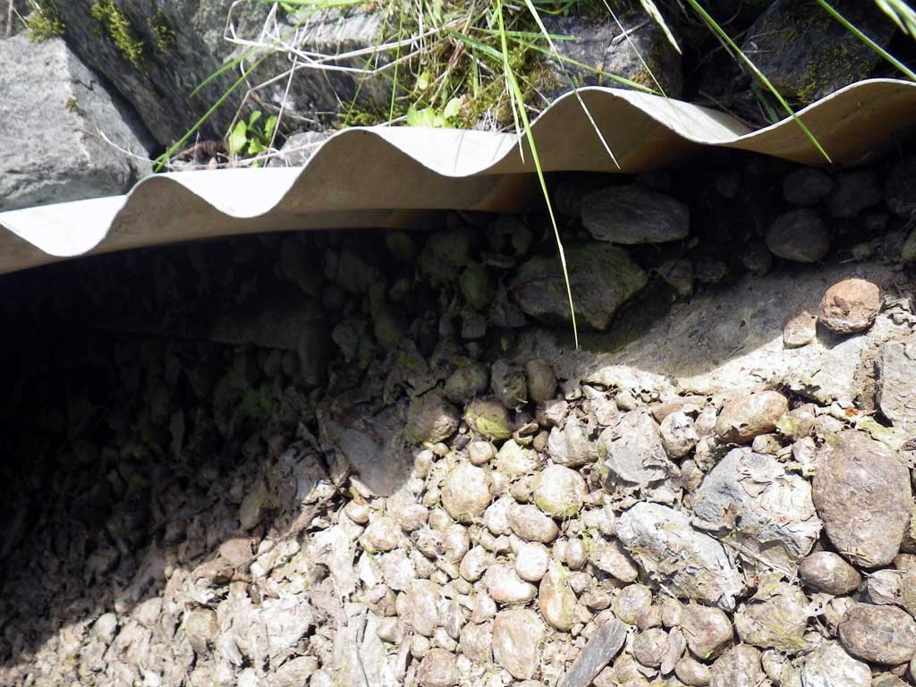
| Outlet Thalweg (Dry, invert out, on substrate, end of miter) | 252.00 | 98.80 | ||
| Misc. (Dry, invert out/inside pipe, on substrate, survey point, top of miter) | 260.00 | 98.93 | ||
| Outlet Culvert Top (Invert out, on metal, top of miter) | 260.00 | 102.99 | ||
| Inlet Culvert Top (Invert in, on metal, top of miter) | 296.60 | 102.99 | ||
| Misc. (Dry, invert in/inside pipe, on substrate, survey point, top of miter) | 296.60 | 99.00 | ||
| Inlet Thalweg (Dry, invert in, on substrate, end of miter) | 303.60 | 99.01 | ||
| Misc. (Dry, survey point U/S) | 315.60 | 99.16 | ||
| Misc. (Dry, survey point U/S) | 326.60 | 99.20 |
Notes:
- River distance is measured continuously throughout the survey reach along the thalweg of the stream.
- Measured from each end of the crossing along the thalweg of the stream.
Fish Sampling Efforts
| Gear Type: None (A) | ||
| Comments: No traps set site was dry at time of survey. | ||
Fish Observations
No fish observations occurred during this survey.
Photos

Questions or comments about this report can be directed to dfg.dsf.webmaster@alaska.gov