Fish Passage Site 10302234
Coordinates (dec. deg.): 58.52794°, -134.81419°
Legal Description: C039S064E03
Region: Southeast
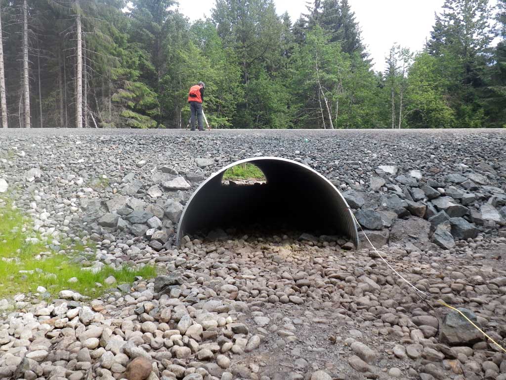
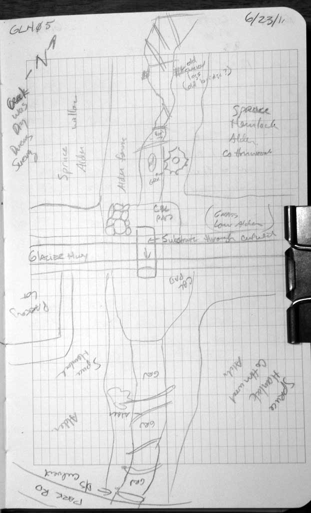
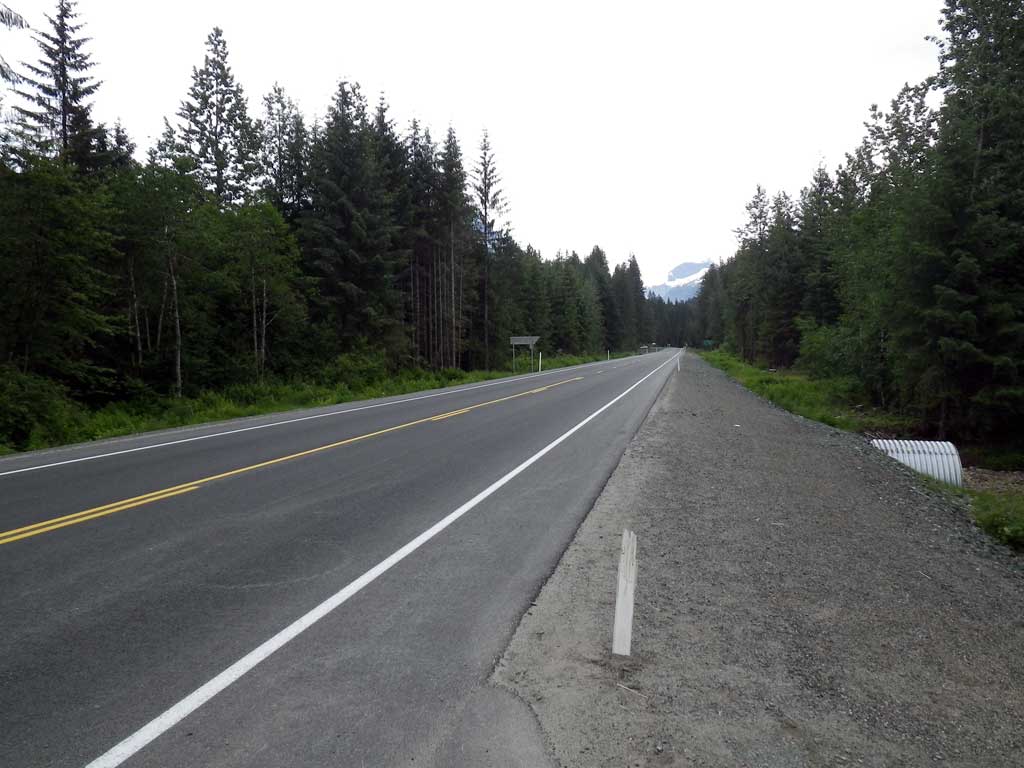
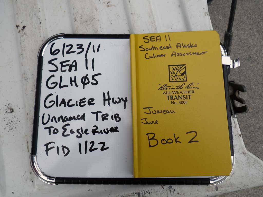
Road Name: Glacier Highway
Datum: NAD83
Quad Name / ITM: Juneau C-3
AWC Stream #:
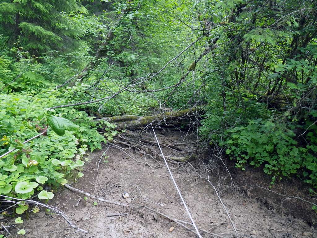
Stream Name: Eagle River tributary
Elevation:
Site Comments: None
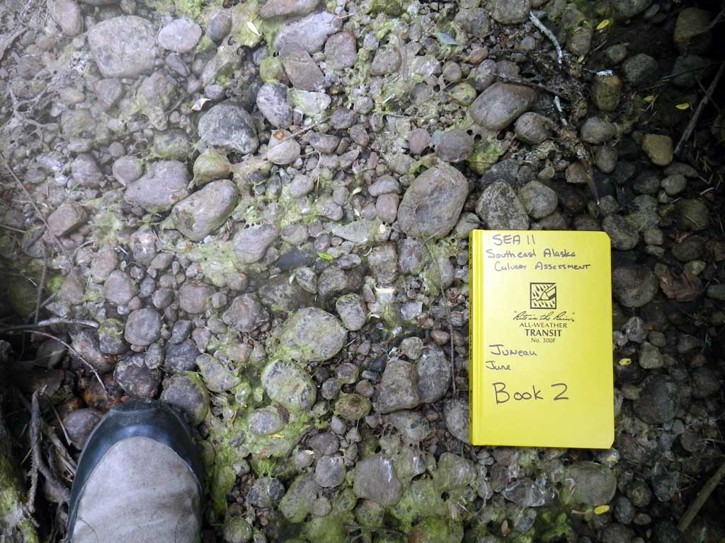
Survey SEA11-GLH05
Project Supervisor: Gillian O'Doherty, Alaska Department of Fish and Game
— Anchorage, AK
Observers: Jason Olds, Mark Eisenman
Overall Fish Passage Rating:
Tidal: Yes
Backwatered: No
Step Pools: No
Construction Year:
Site Observations:
- Culvert gradient gray
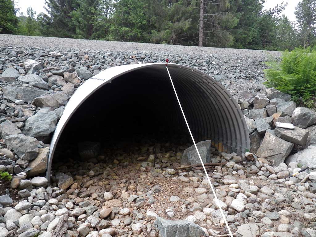
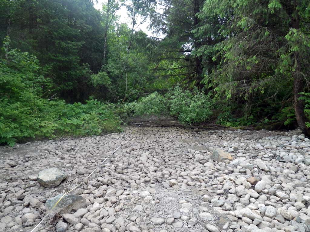
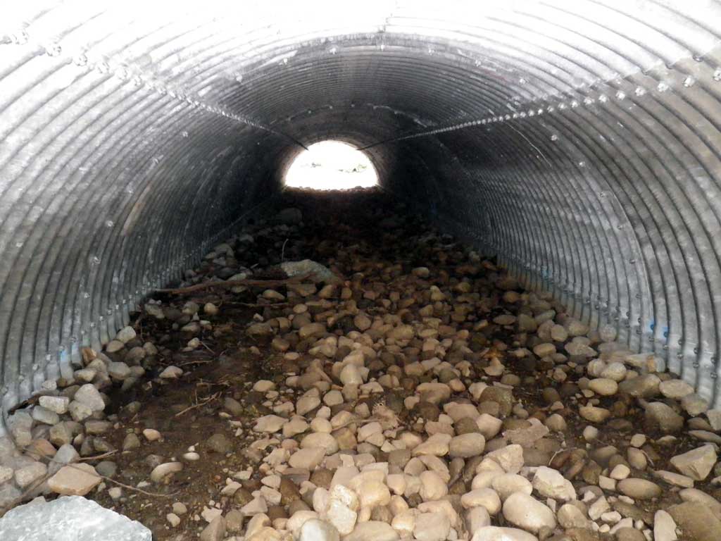
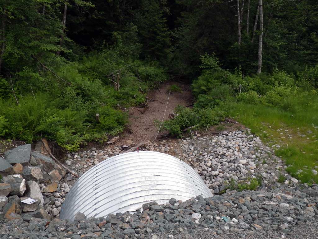
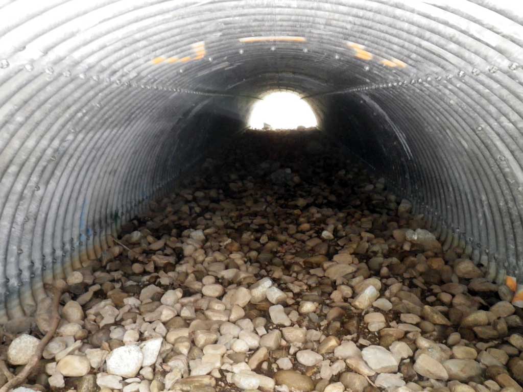
Comments: Dry at time of survey. Culvert might be tidally influence on high tides. Upstream from EPK01.
Culvert Measurements
| ID: 1 | Structure Type: Pipe-arch (Structural steel plate) | Fish Passage Rating: | ||||||||||||||||||||||||||||||||||||||||||
|
|
|
||||||||||||||||||||||||||||||||||||||||||
Comments: Dry at time of Survey. Tidally influnced. Another culvert 150' downstream on a service trail road. Likely passable for fish in high tides despite gradient differential from stream. |
||||||||||||||||||||||||||||||||||||||||||||
Culvert Observations:
|
||||||||||||||||||||||||||||||||||||||||||||
Stream Measurements
|
|
| Stream Width Type | Distance From Crossing (ft) |
Stream Width (ft) |
|---|---|---|
| Upstream ordinary high water | 80.0 | 10.60 |
| Upstream ordinary high water | 110.0 | 11.20 |
| Upstream ordinary high water | 137.0 | 15.30 |
Elevations
| Locator ID | Culvert Number |
River Distance (ft)1 |
Distance From Crossing (ft)2 |
Relative Elevation (ft) |
|---|---|---|---|---|
| Road Elev | 109.28 | |||
| D/S Thalweg (Stream is dry at time of survey) | 0.00 | 97.59 | ||
| D/S Thalweg | 40.00 | 97.94 | ||
| Outlet Invert (On substrate) | 88.00 | 98.31 | ||
| Outlet Culvert Top | 88.00 | 104.36 | ||
| Inlet Culvert Top | 171.70 | 105.53 | ||
| Inlet Culvert Invert (On substrate) | 171.70 | 99.53 | ||
| U/S Thalweg | 188.20 | 99.79 | ||
| U/S Grade Ctrl (Thalweg) | 238.70 | 99.40 | ||
| U/S Grade Ctrl (Thalweg) | 254.70 | 100.12 | ||
| U/S Thalweg | 290.10 | 99.25 | ||
| U/S Grade Ctrl (Thalweg) | 357.10 | 100.13 | ||
| U/S Grade Ctrl (Thalweg) | 401.10 | 99.56 |
Notes:
- River distance is measured continuously throughout the survey reach along the thalweg of the stream.
- Measured from each end of the crossing along the thalweg of the stream.
Fish Sampling Efforts
| Gear Type: None (A) | ||
| Comments: No traps set no fish observed site was dry at time of survey. | ||
Fish Observations
No fish observations occurred during this survey.
Photos

Questions or comments about this report can be directed to dfg.dsf.webmaster@alaska.gov