Fish Passage Site 10302233
Coordinates (dec. deg.): 58.52068°, -134.79507°
Legal Description: C039S064E02
Region: Southeast
Road Name: Driveway to gravel pit
Datum: NAD83
Quad Name / ITM: Juneau C-3
AWC Stream #:
Stream Name: Herbert River tributary
Elevation:
Site Comments: None
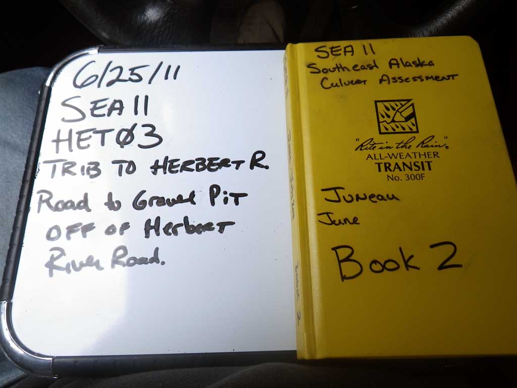
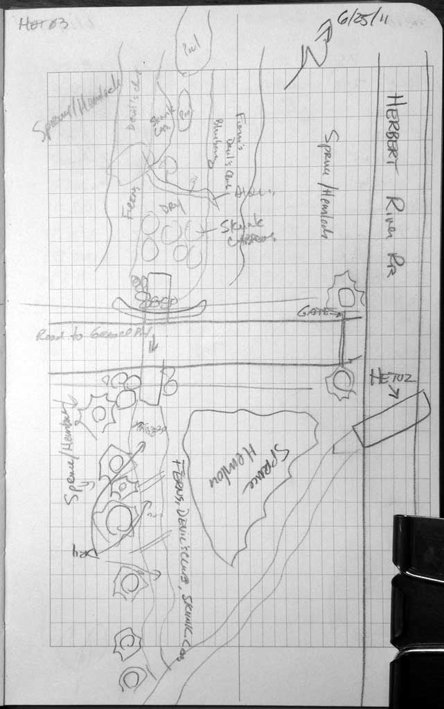
Survey SEA11-HET03
Project Supervisor: Gillian O'Doherty, Alaska Department of Fish and Game
— Anchorage, AK
Observers: Mark Eisenman, Jason Olds
Overall Fish Passage Rating:
Tidal: No
Backwatered: Yes
Step Pools: No
Construction Year:
Site Observations:
- Constriction ratio gray
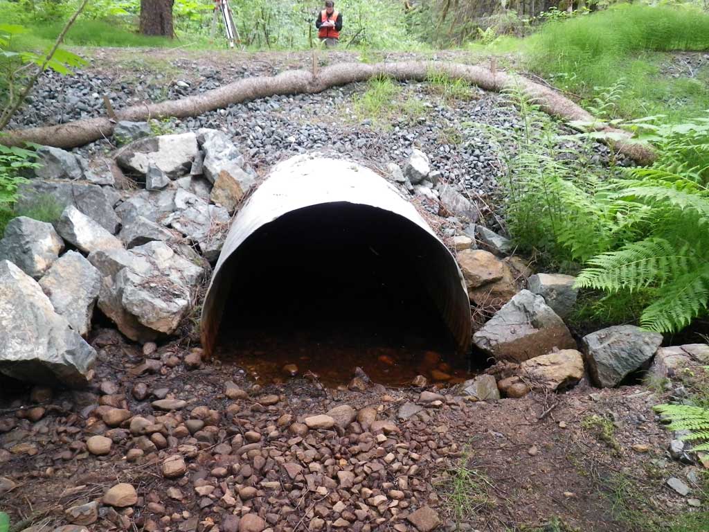
Comments: No traps were set as stream is already in the AWC and creek was completely dry at time of survey. Stream grade was calculated with between 10 and 15 times mean ordinary high water width due to sight limitations from foilage and elevations for stream grade were based off of substrate in dry creek bed.
Culvert Measurements
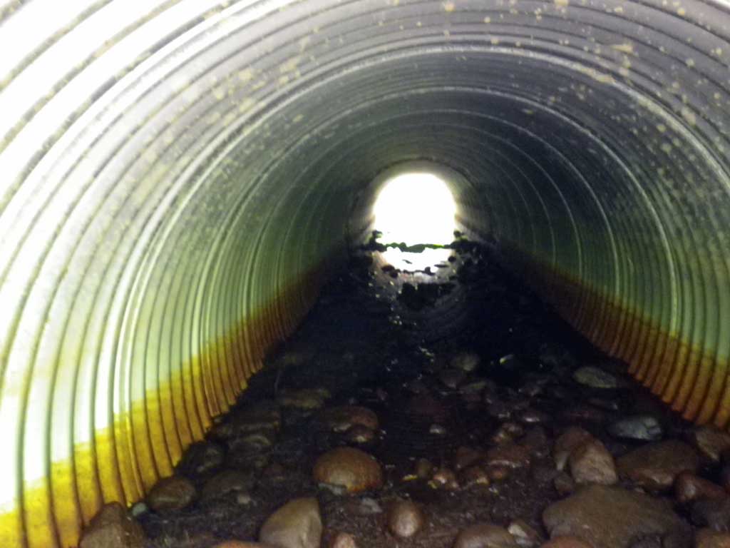
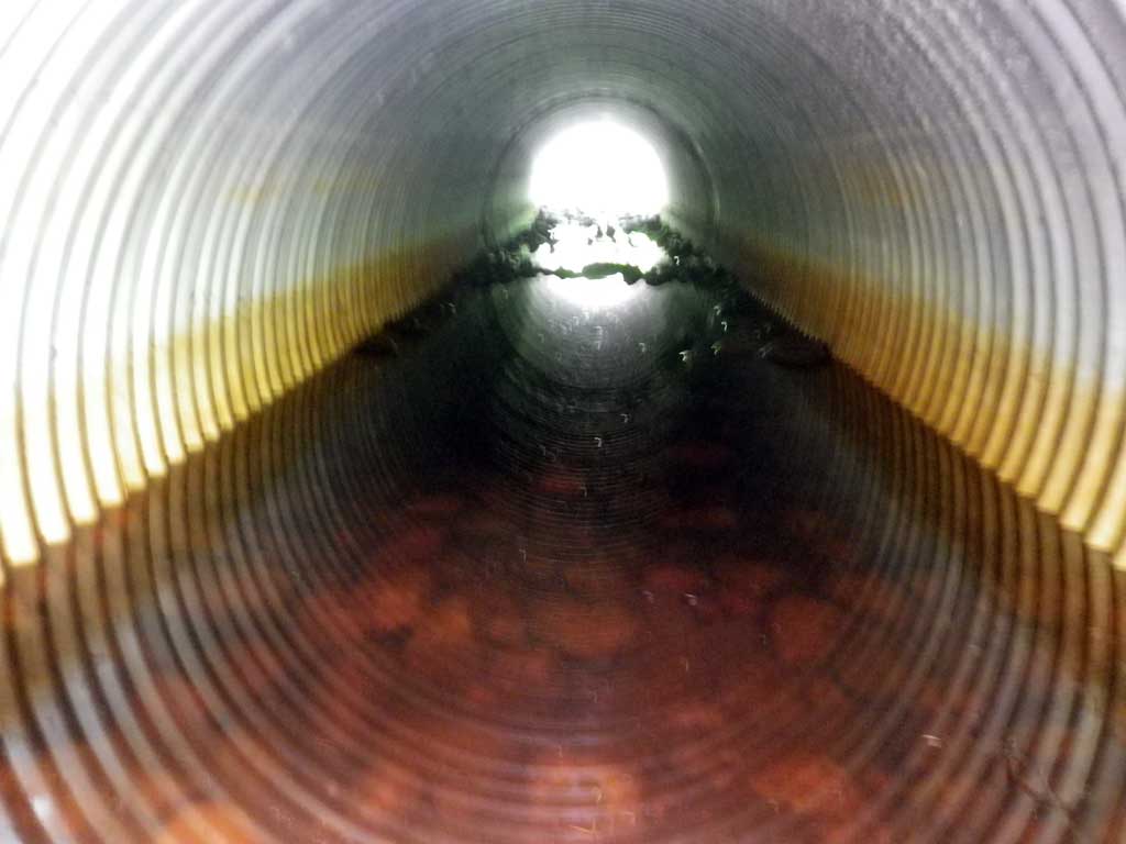
| ID: 1 | Structure Type: Circular pipe (Corrugated steel) | Fish Passage Rating: | ||||||||||||||||||||||||||||||||||||||||||
|
|
|
||||||||||||||||||||||||||||||||||||||||||
Culvert Observations:
|
||||||||||||||||||||||||||||||||||||||||||||
Stream Measurements
|
|
| Stream Width Type | Distance From Crossing (ft) |
Stream Width (ft) |
|---|---|---|
| Upstream ordinary high water | 61.0 | 11.10 |
| Upstream ordinary high water | 86.0 | 10.20 |
| Upstream ordinary high water | 104.0 | 8.60 |
Elevations
| Locator ID | Culvert Number |
River Distance (ft)1 |
Distance From Crossing (ft)2 |
Relative Elevation (ft) |
|---|---|---|---|---|
| Road Elev | 102.91 | |||
| D/S Grade Ctrl (Thalweg) (Dry) | 0.00 | 97.20 | ||
| D/S Tailcrest or 1st Thalweg (Dry) | 22.00 | 97.49 | ||
| Outlet Culvert Top (Invert out, on metal TBM) | 30.00 | 100.00 | ||
| Outlet Thalweg (Invert out, on substrate) | 30.00 | 96.65 | ||
| Inlet Thalweg (Invert in, on substrate) | 70.90 | 96.96 | ||
| Inlet Culvert Top (Invert in, on metal) | 70.90 | 100.33 | ||
| U/S Grade Ctrl (Thalweg) (Dry) | 84.90 | 97.34 | ||
| U/S Grade Ctrl (Thalweg) (Dry) | 115.90 | 97.59 | ||
| U/S Grade Ctrl (Thalweg) (Dry) | 195.90 | 97.56 |
Notes:
- River distance is measured continuously throughout the survey reach along the thalweg of the stream.
- Measured from each end of the crossing along the thalweg of the stream.
Fish Sampling Efforts
| Gear Type: None (A) | ||
| Comments: No traps set site was dry at time of survey. | ||
Fish Observations
No fish observations occurred during this survey.
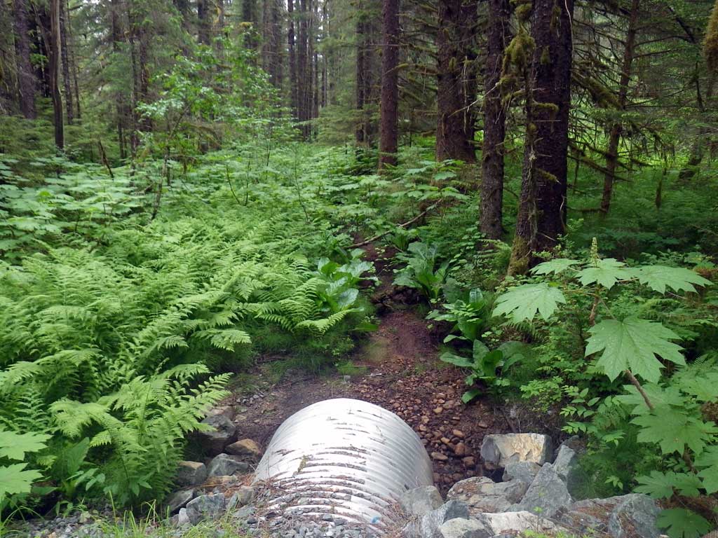
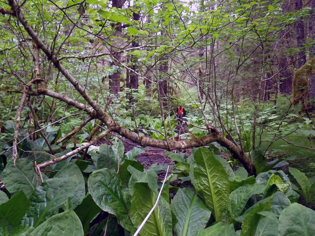
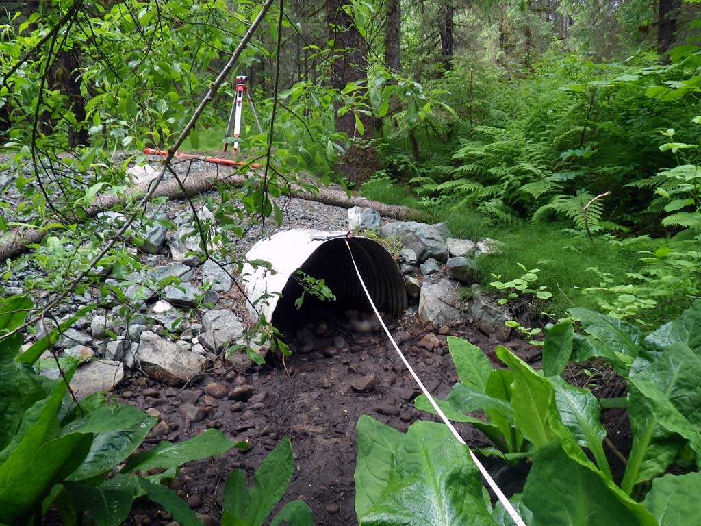
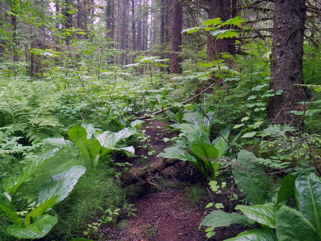
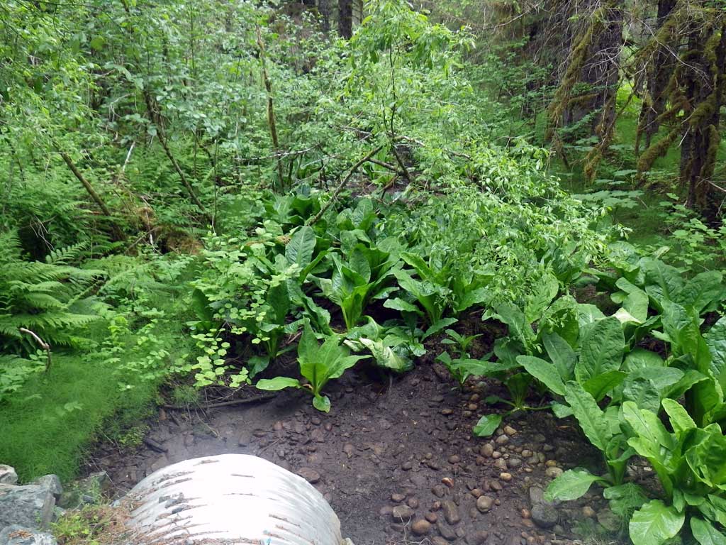
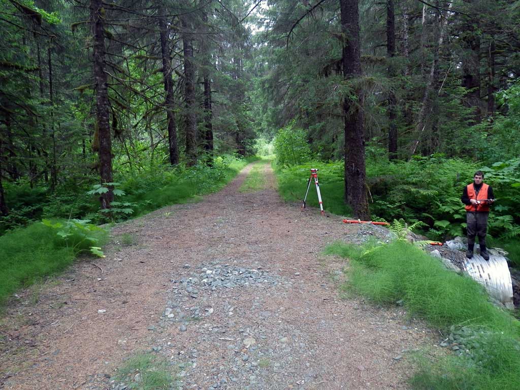
Photos
Questions or comments about this report can be directed to dfg.dsf.webmaster@alaska.gov