Fish Passage Site 10302232
Coordinates (dec. deg.): 58.51826°, -134.79492°
Legal Description: C039S064E02
Region: Southeast
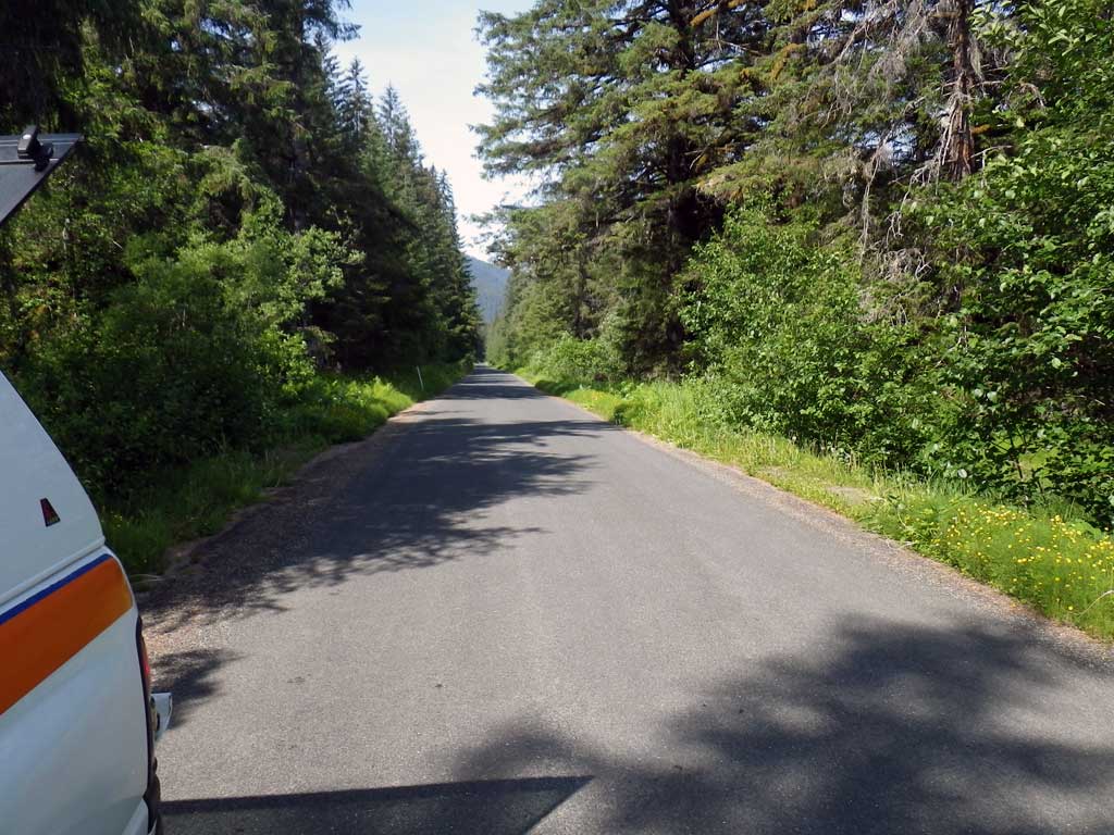
Road Name: Herbert River Road
Datum: NAD83
Quad Name / ITM: Juneau C-3
AWC Stream #:
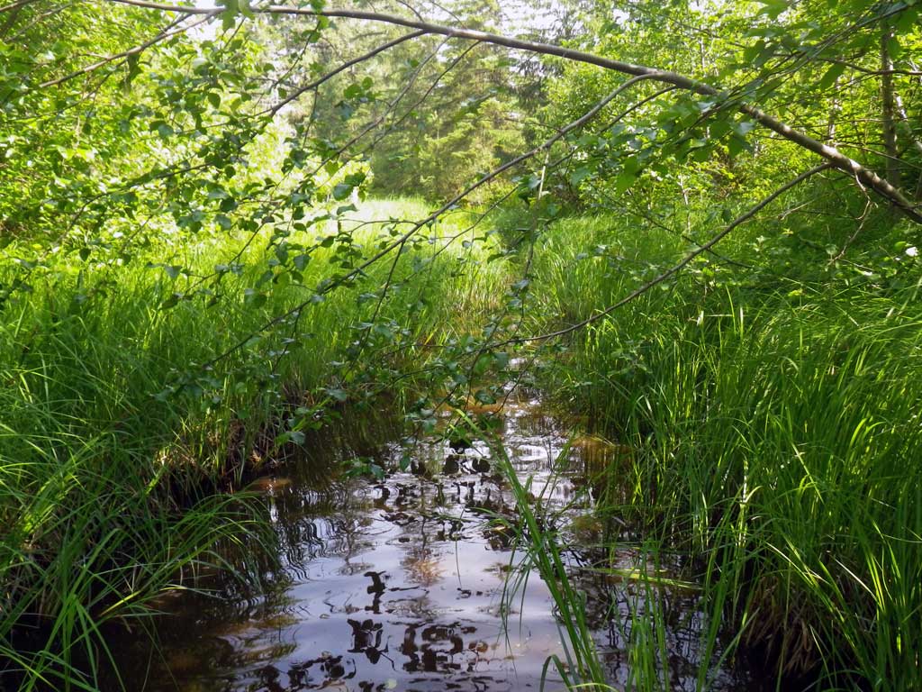
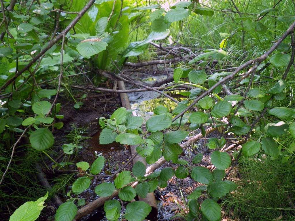
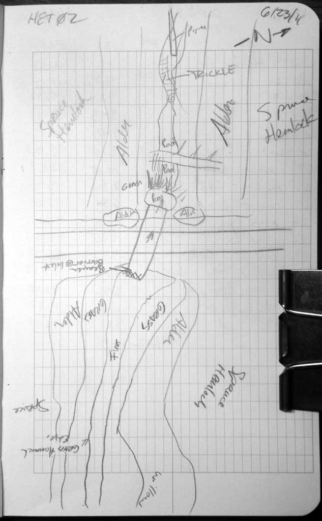
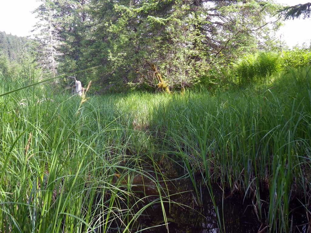
Stream Name: Herbert River tributary
Elevation:
Site Comments: None
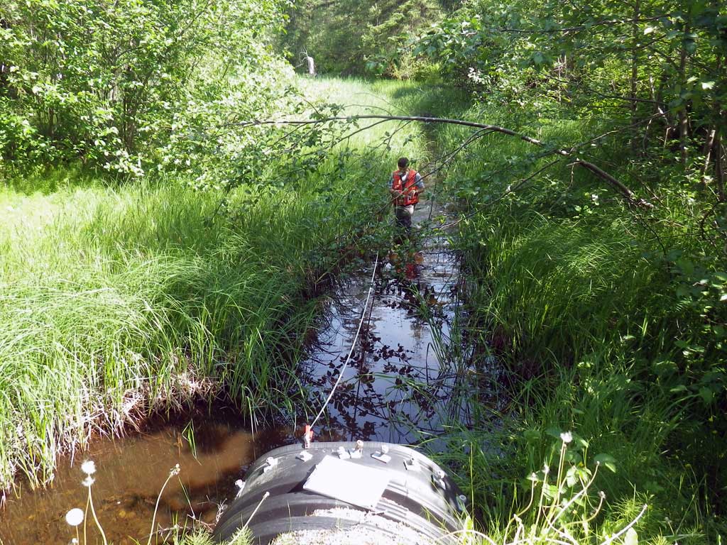
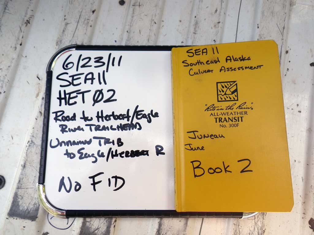
Survey SEA11-HET02
Project Supervisor: Gillian O'Doherty, Alaska Department of Fish and Game
— Anchorage, AK
Observers: Mark Eisenman, Jason Olds
Overall Fish Passage Rating:
Tidal: No
Backwatered: Yes
Step Pools: No
Construction Year:
Site Observations:
- Culvert gradient gray
- Constriction ratio gray
Comments: None
Culvert Measurements
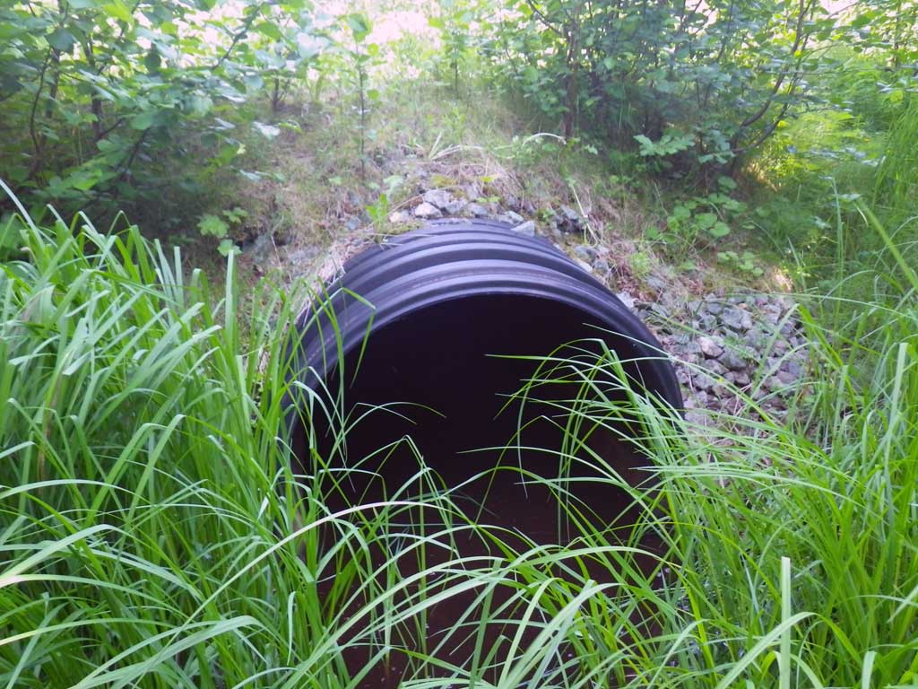
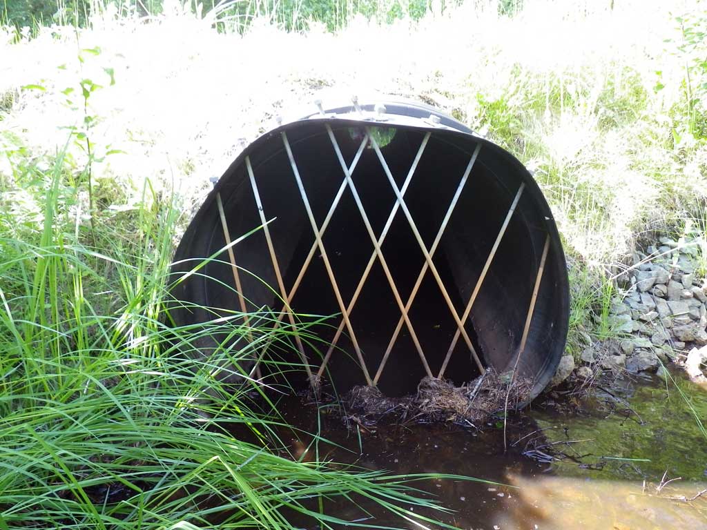
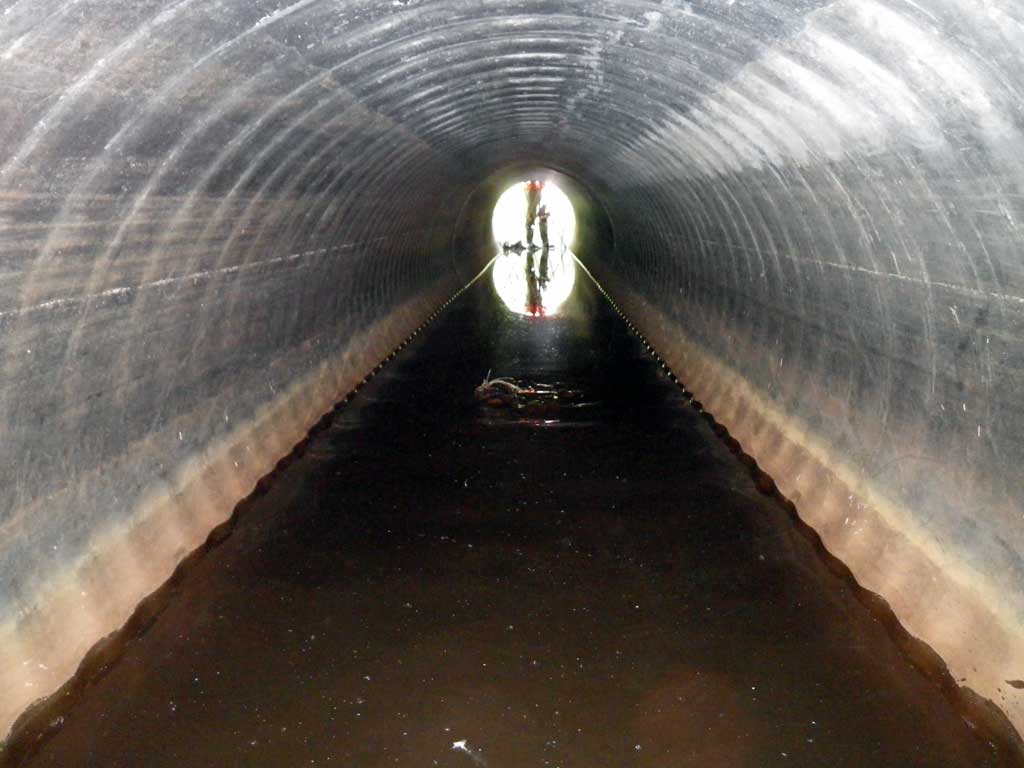
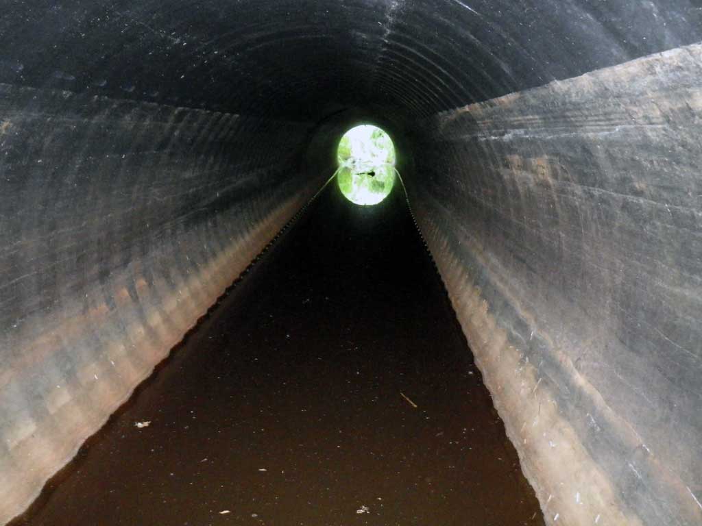
| ID: 1 | Structure Type: Circular pipe (Corrugated plastic) | Fish Passage Rating: | |||||||||||||||||||||||||||||||||||||||||
|
|
|
|||||||||||||||||||||||||||||||||||||||||
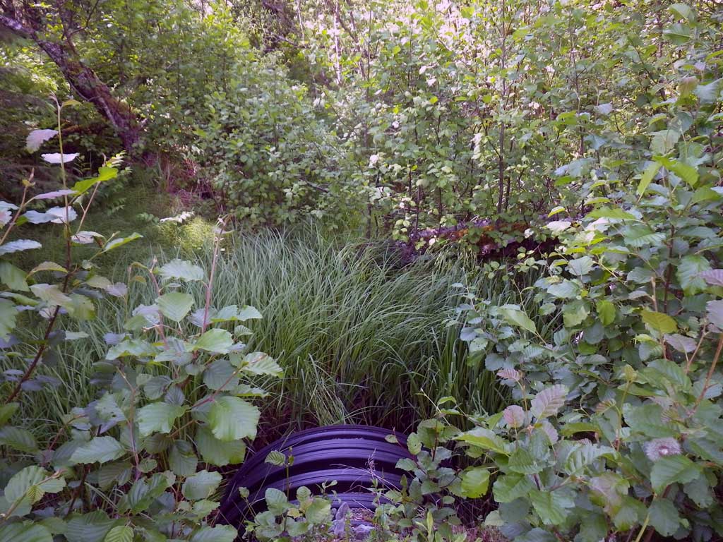
Comments: Smooth Bore Plastic Pipe. Muskeg upstream. *Beaver Bars @ Inlet; Inlet flared. |
|||||||||||||||||||||||||||||||||||||||||||
Stream Measurements
|
|
| Stream Width Type | Distance From Crossing (ft) |
Stream Width (ft) |
|---|---|---|
| Upstream ordinary high water | 40.0 | 8.20 |
| Upstream ordinary high water | 60.0 | 7.00 |
| Upstream ordinary high water | 80.0 | 6.50 |
Elevations
| Locator ID | Culvert Number |
River Distance (ft)1 |
Distance From Crossing (ft)2 |
Relative Elevation (ft) |
|---|---|---|---|---|
| Road Elev | 100.00 | |||
| D/S Water Surface Elev | 0.00 | 95.49 | ||
| D/S Grade Ctrl (Thalweg) | 0.00 | 95.38 | ||
| D/S Water Surface Elev | 20.00 | 95.57 | ||
| D/S Tailcrest or 1st Thalweg | 20.00 | 95.49 | ||
| Max Pool Depth | 26.00 | 94.87 | ||
| Outlet Pool Water Elev | 26.00 | 95.57 | ||
| Outlet Invert (on substrate) | 27.00 | 94.87 | ||
| D/S Water Surface Elev | 27.00 | 95.56 | ||
| Outlet Culvert Top | 27.00 | 98.58 | ||
| Inlet Culvert Top | 69.80 | 98.99 | ||
| Inlet Culvert Invert (on substrate) | 69.80 | 95.42 | ||
| U/S Water Surface Elev (also headwater surface and 1st resting pool) | 69.80 | 95.58 | ||
| U/S Water Surface Elev | 81.80 | 95.59 | ||
| U/S Thalweg | 81.80 | 93.82 |
Notes:
- River distance is measured continuously throughout the survey reach along the thalweg of the stream.
- Measured from each end of the crossing along the thalweg of the stream.
Fish Sampling Efforts
| Gear Type: None (A) | ||
| Comments: No traps set no fish observed. | ||
Fish Observations
No fish observations occurred during this survey.
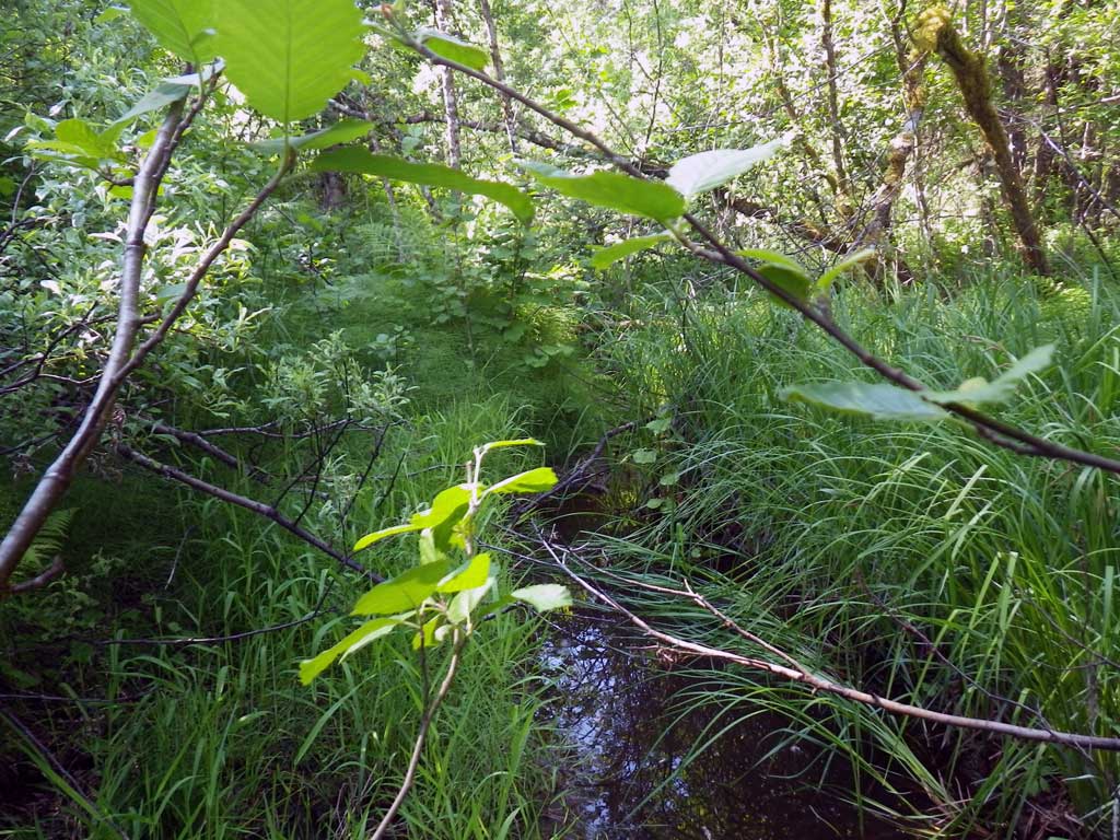
Photos
Questions or comments about this report can be directed to dfg.dsf.webmaster@alaska.gov