Fish Passage Site 10302231
Coordinates (dec. deg.): 58.52069°, -134.79390°
Legal Description: C039S064E02
Region: Southeast
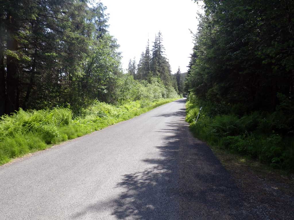
Road Name: Herbert River Road
Datum: NAD83
Quad Name / ITM: Juneau C-3
AWC Stream #:
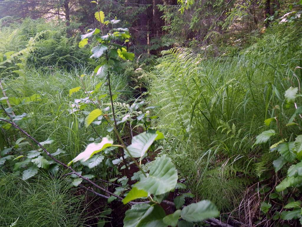
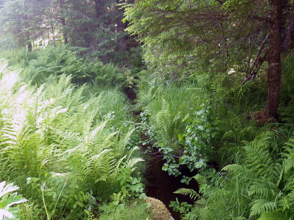
Stream Name: Herbert River tributary
Elevation:
Site Comments: None
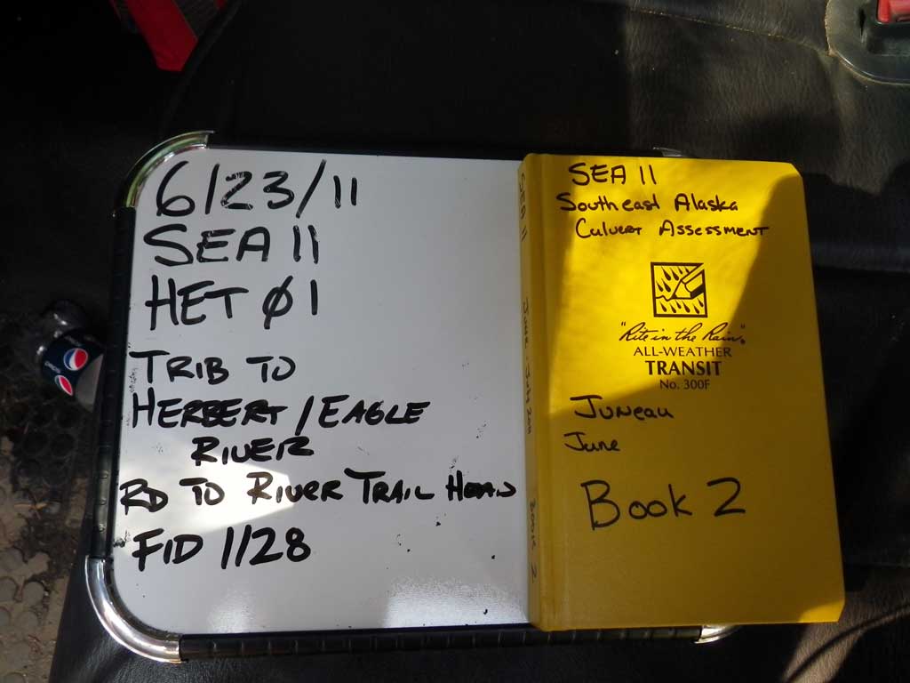
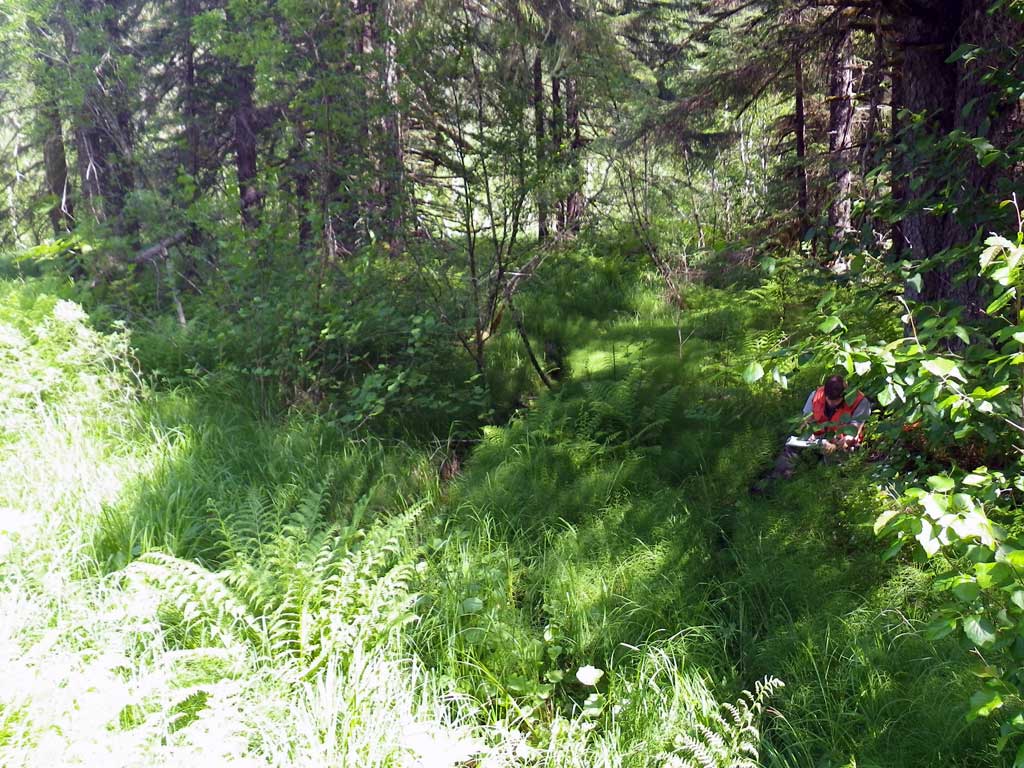
Survey SEA11-HET01
Project Supervisor: Gillian O'Doherty, Alaska Department of Fish and Game
— Anchorage, AK
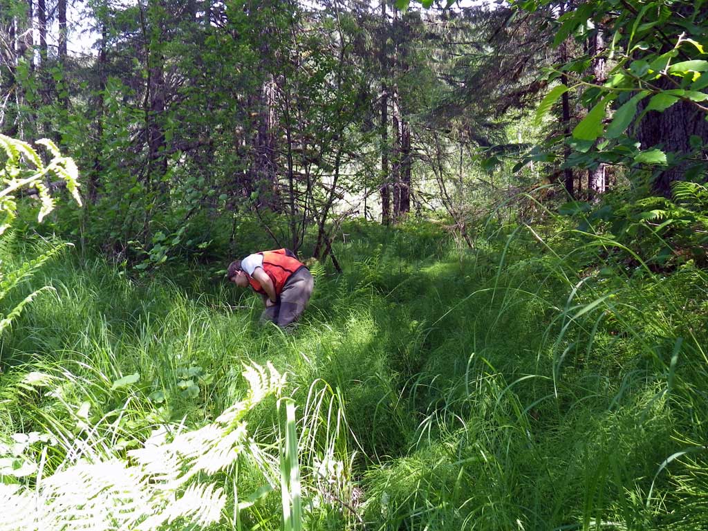
Observers: Mark Eisenman, Jason Olds
Overall Fish Passage Rating:
Tidal: No
Backwatered: No
Step Pools: No
Construction Year:
Site Observations:
- None of this type
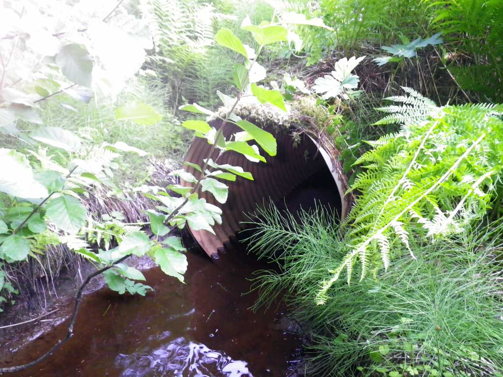
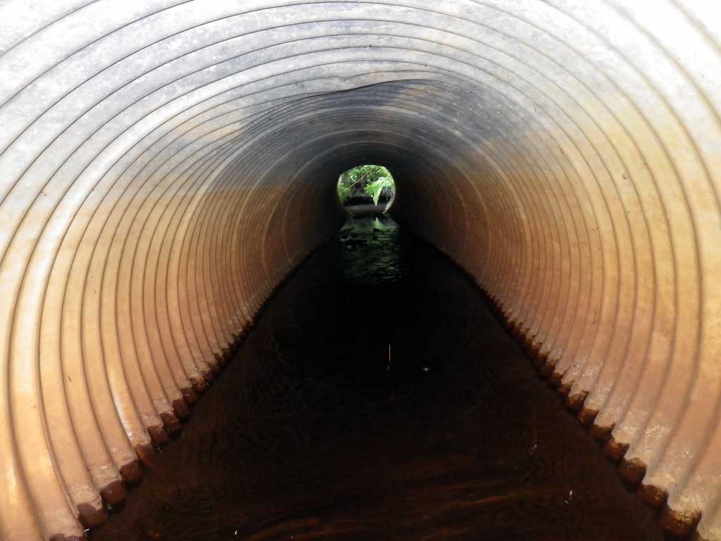
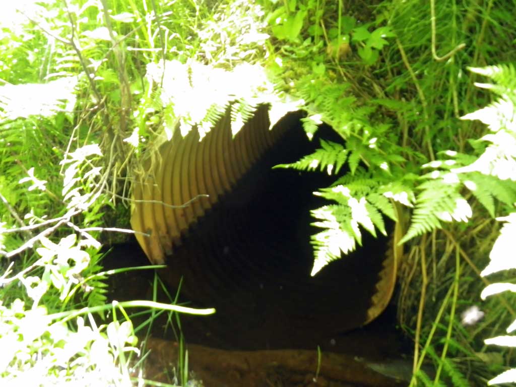
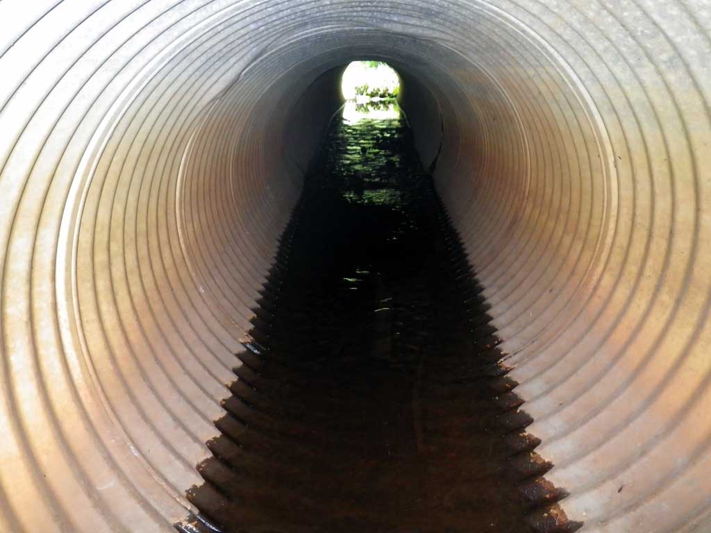
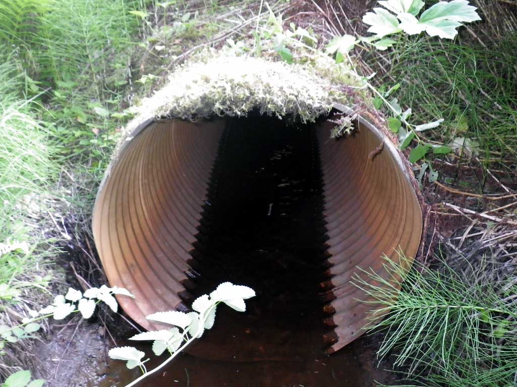
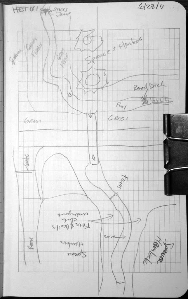
Comments: Near 90 degree approach. Small fry salmonids spotted upstream of pipe, likely Coho. Small amount of damage to inlet. Small riffle grade in middle of pipe visible but not surveyable. Insufficent points taken for stream grade.
Culvert Measurements
| ID: 1 | Structure Type: Circular pipe (Corrugated aluminum) | Fish Passage Rating: | |||||||||||||||||||||||||||||||||||||||||
|
|
|
|||||||||||||||||||||||||||||||||||||||||
Culvert Observations:
|
|||||||||||||||||||||||||||||||||||||||||||
Stream Measurements
|
|
| Stream Width Type | Distance From Crossing (ft) |
Stream Width (ft) |
|---|---|---|
| Upstream ordinary high water | 15.0 | 3.20 |
| Upstream ordinary high water | 20.0 | 2.90 |
| Upstream ordinary high water | 39.0 | 3.90 |
Elevations
| Locator ID | Culvert Number |
River Distance (ft)1 |
Distance From Crossing (ft)2 |
Relative Elevation (ft) |
|---|---|---|---|---|
| Road Elev | 100.00 | |||
| D/S Grade Ctrl (Thalweg) | 0.00 | 94.17 | ||
| D/S Water Surface Elev | 0.00 | 94.39 | ||
| D/S Water Surface Elev | 27.00 | 94.40 | ||
| D/S Tailcrest or 1st Thalweg | 27.00 | 94.34 | ||
| Outlet Pool Water Elev | 38.00 | 94.40 | ||
| Max Pool Depth | 38.00 | 93.35 | ||
| D/S Water Surface Elev | 44.00 | 94.40 | ||
| Outlet Invert (on metal) | 44.00 | 94.26 | ||
| Outlet Culvert Top | 44.00 | 97.26 | ||
| Inlet Culvert Top | 75.50 | 97.15 | ||
| U/S Water Surface Elev | 75.50 | 94.76 | ||
| Inlet Culvert Invert | 75.50 | 94.12 | ||
| U/S Thalweg | 87.50 | 94.18 | ||
| U/S Water Surface Elev | 87.50 | 94.79 |
Notes:
- River distance is measured continuously throughout the survey reach along the thalweg of the stream.
- Measured from each end of the crossing along the thalweg of the stream.
Fish Sampling Efforts
| Gear Type: Visual Observation, Ground (A) | Trap Duration(h): 30.0 | |
| Channel Type: Main Channel (>50% of water flow) | ||
| Comments: Unidentified salmonids, likely coho, observed upstream from culvert. | ||
| Gear Type: (B) | ||
Fish Observations
No fish observations occurred during this survey.
Photos
Questions or comments about this report can be directed to dfg.dsf.webmaster@alaska.gov