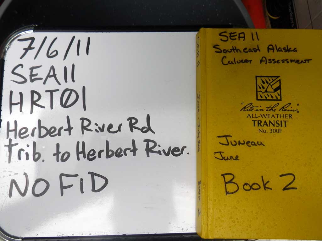
Fish Passage Site 10302228
Coordinates (dec. deg.): 58.52921°, -134.78926°
Legal Description: C038S064E35
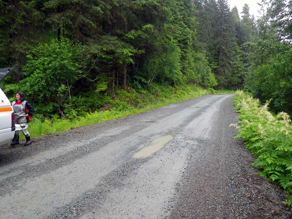
Region: Southeast
Road Name: Herbert River Road
Datum: NAD83
Quad Name / ITM: Juneau C-3
AWC Stream #:
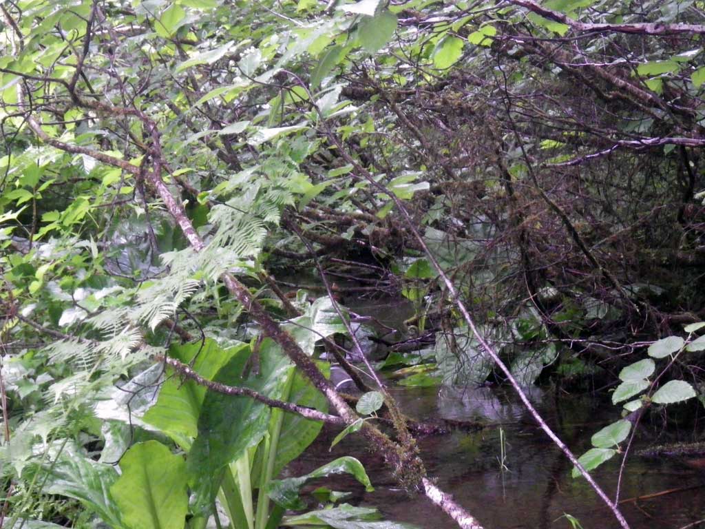
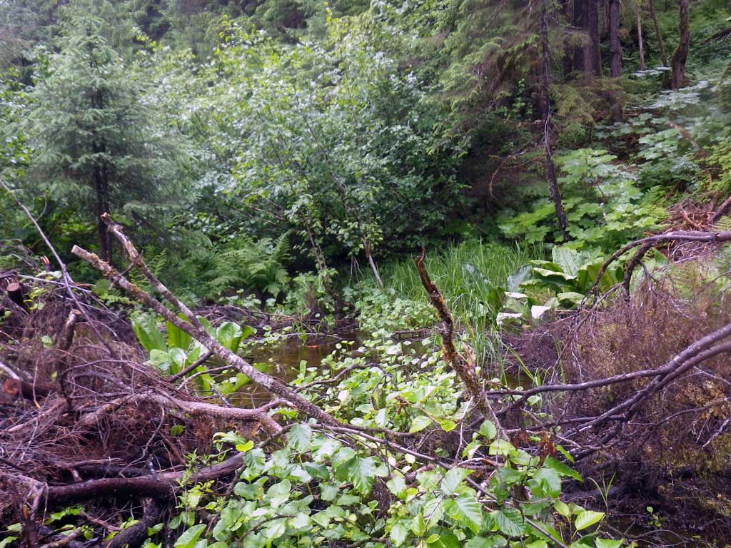
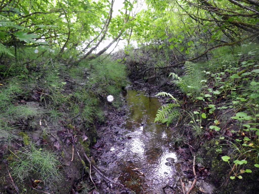
Stream Name: Herbert River tributary
Elevation:
Site Comments: None
Survey SEA11-HRT01
Project Supervisor: Gillian O'Doherty, Alaska Department of Fish and Game
— Anchorage, AK
Observers: Jason Olds, Charmagne Gutierrez, Gillian O'Doherty
Overall Fish Passage Rating:
Tidal: No
Backwatered: No
Step Pools: No
Construction Year:
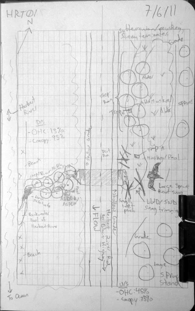
Site Observations:
- Constriction ratio red
- Hydraulic flows exceeded capacity
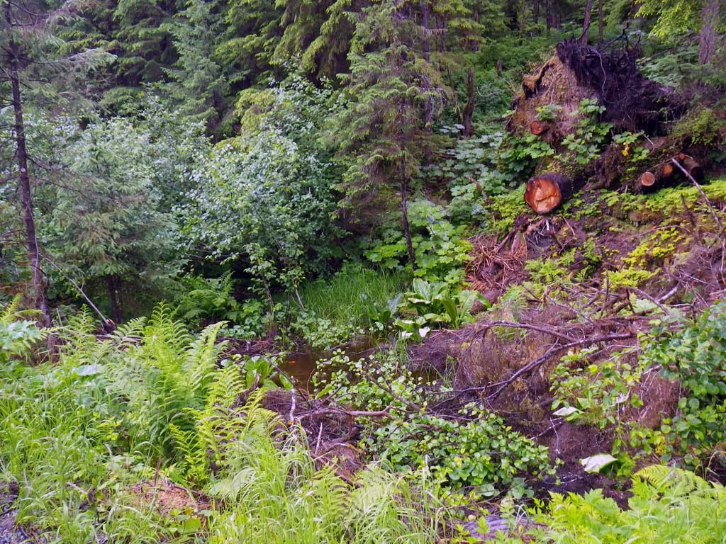
- Woody Debris
- Culvert gradient gray
- Inlet perch
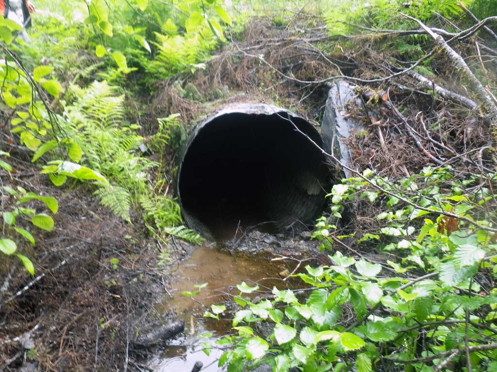
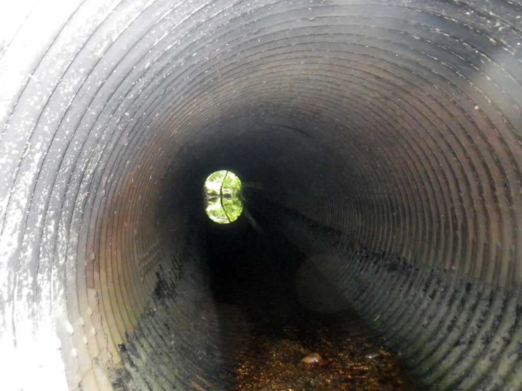
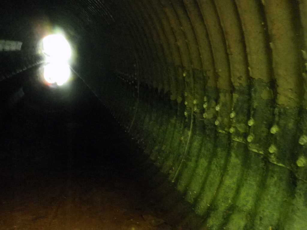
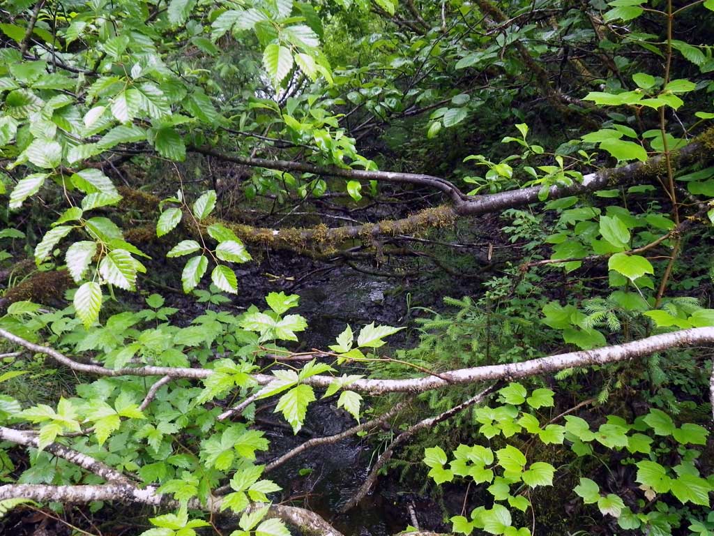
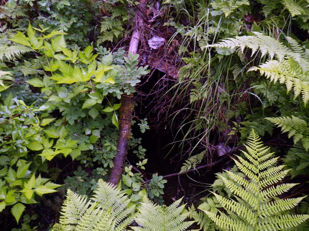
Comments: Tar coating on invert in, inside pipe. Rustline may be backwatered from Herbert River. Gradient on inverts ~0.64% while tops of pipe ~1.91% . Likely passes fish except for inlet perch which is high due to sedimentation.
Culvert Measurements
| ID: 1 | Structure Type: Circular pipe (Structural steel plate) | Fish Passage Rating: | |||||||||||||||||||||||||||||||||||||||||
|
|
|
|||||||||||||||||||||||||||||||||||||||||
Comments: Tar coatingon inlet. |
|||||||||||||||||||||||||||||||||||||||||||
Culvert Observations:
|
|||||||||||||||||||||||||||||||||||||||||||
Stream Measurements
|
|
| Stream Width Type | Distance From Crossing (ft) |
Stream Width (ft) |
|---|---|---|
| Upstream ordinary high water | 42.0 | 12.40 |
| Upstream ordinary high water | 53.0 | 10.30 |
| Upstream ordinary high water | 59.0 | 8.90 |
Elevations
| Locator ID | Culvert Number |
River Distance (ft)1 |
Distance From Crossing (ft)2 |
Relative Elevation (ft) |
|---|---|---|---|---|
| Road Elev | 103.17 | |||
| D/S Grade Ctrl (Thalweg) | 0.00 | 94.08 | ||
| D/S Water Surface Elev | 0.00 | 94.24 | ||
| D/S Grade Ctrl (Thalweg) | 3.00 | 95.31 | ||
| D/S Water Surface Elev | 3.00 | 95.37 | ||
| D/S Tailcrest or 1st Thalweg | 9.00 | 95.62 | ||
| D/S Water Surface Elev | 9.00 | 95.71 | ||
| Outlet Pool Water Elev | 9.50 | 95.66 | ||
| Max Pool Depth | 9.50 | 95.27 | ||
| Outlet Thalweg (Invert out, on substrate) | 10.00 | 95.30 | ||
| D/S Water Surface Elev (Invert out) | 10.00 | 95.67 | ||
| Outlet Culvert Top (Invert out, on metal) | 10.00 | 98.57 | ||
| Inlet Culvert Top (Invert in) | 55.00 | 99.43 | ||
| U/S Headwater (Invert in, 1st resting) | 55.00 | 96.20 | ||
| Inlet Culvert Invert (Invert in, on metal) | 55.00 | 95.59 | ||
| U/S Water Surface Elev (Stream gradient start) | 95.00 | 96.21 | ||
| U/S Water Surface Elev (Stream gradient end) | 229.00 | 96.65 |
Notes:
- River distance is measured continuously throughout the survey reach along the thalweg of the stream.
- Measured from each end of the crossing along the thalweg of the stream.
Fish Sampling Efforts
| Gear Type: Minnow Trap (A) | Trap Duration(h): 2.0 | |
| Comments: No fish traps | ||
| Gear Type: Minnow Trap (B) | Trap Duration(h): 2.0 | |
| Comments: No fish captured or observed. | ||
Fish Observations
No fish observations occurred during this survey.
Photos
Questions or comments about this report can be directed to dfg.dsf.webmaster@alaska.gov