Fish Passage Site 10302227
Coordinates (dec. deg.): 58.53052°, -134.78473°
Legal Description: C038S064E36
Region: Southeast
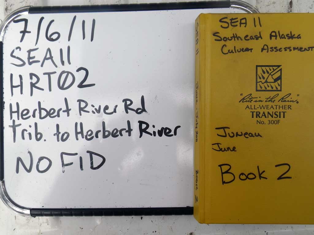
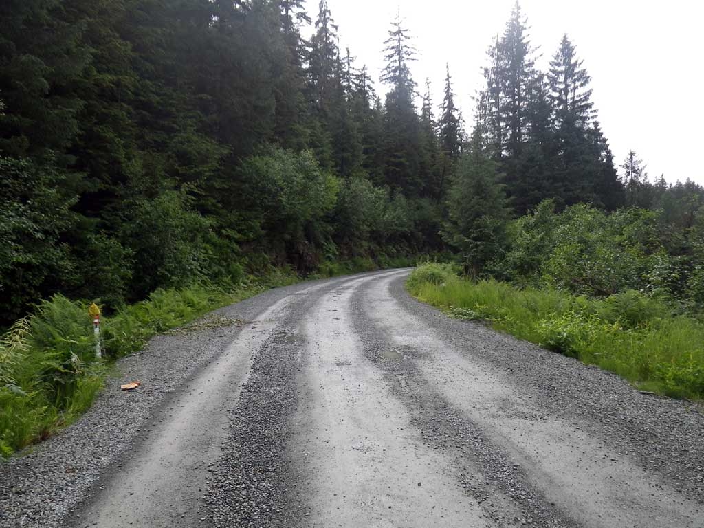
Road Name: Herbert River Road
Datum: NAD83
Quad Name / ITM: Juneau C-3
AWC Stream #:
Stream Name: Herbert River tributary
Elevation:
Site Comments: None
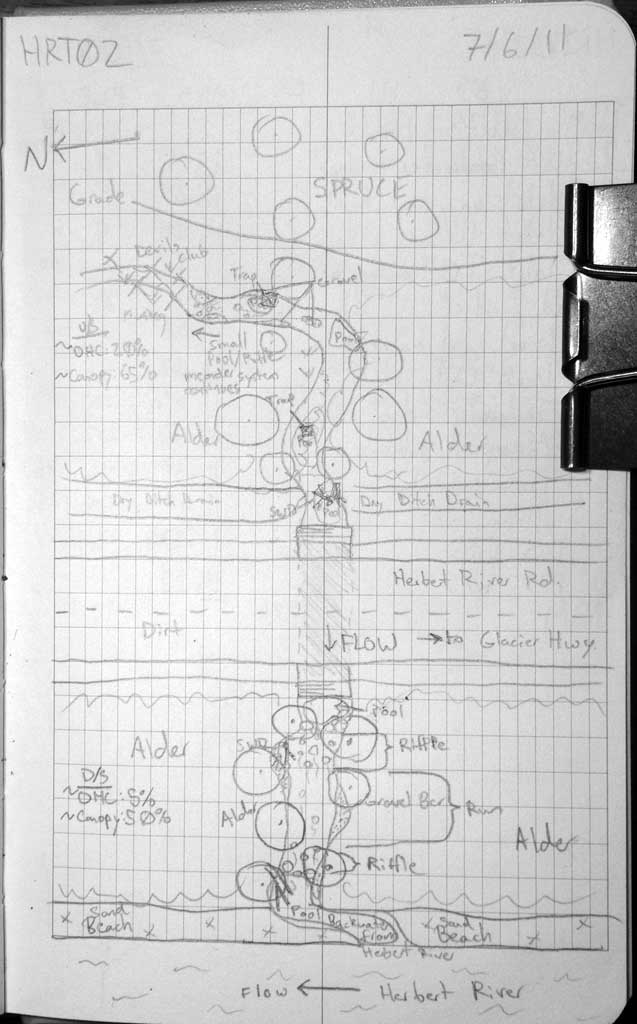
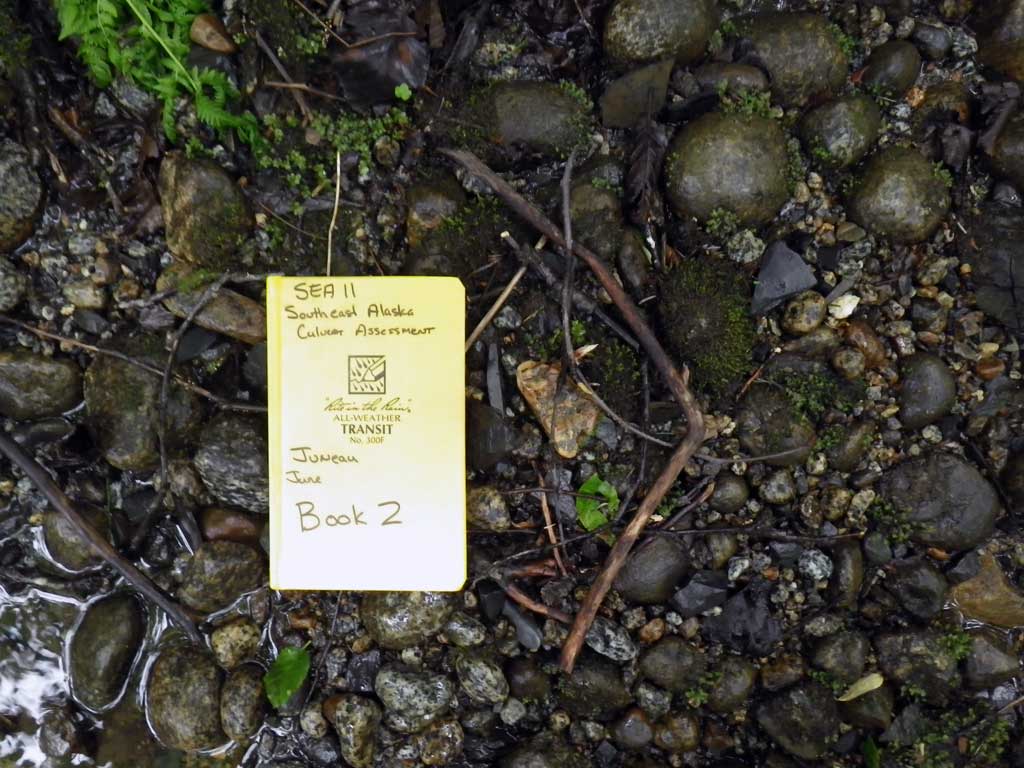
Survey SEA11-HRT02
Project Supervisor: Gillian O'Doherty, Alaska Department of Fish and Game
— Anchorage, AK
Observers: Jason Olds, Charmagne Gutierrez, Gillian O'Doherty
Overall Fish Passage Rating:
Tidal: No
Backwatered: No
Step Pools: No
Construction Year:
Site Observations:
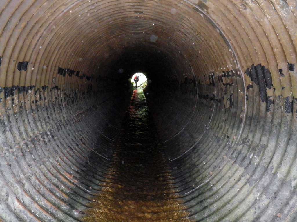
- Culvert gradient red
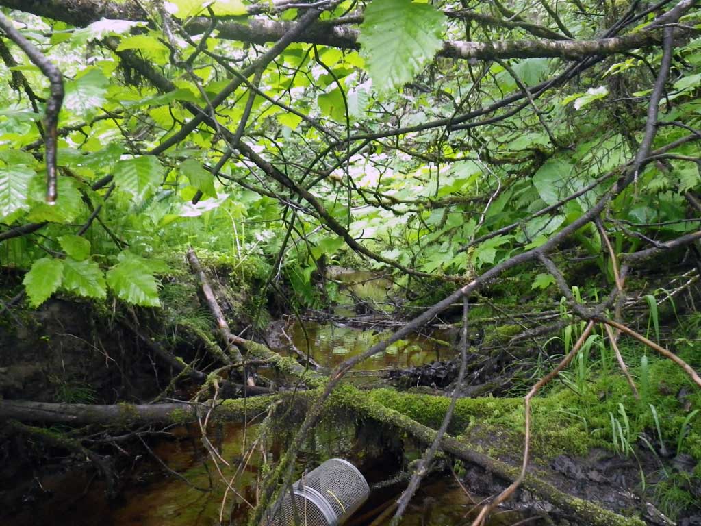
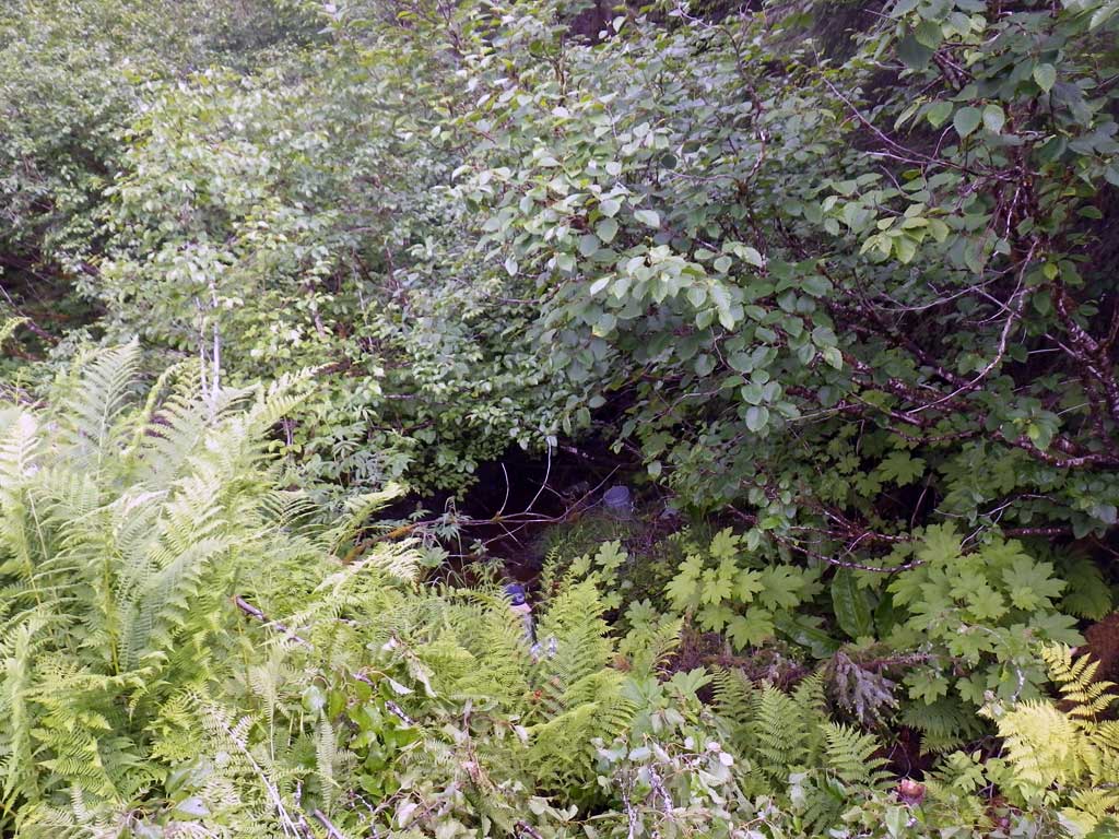
Comments: Juvenile salmonids observed upstream of culvert. Too much foilage to shoot a stream gradient.
Culvert Measurements
| ID: 1 | Structure Type: Circular pipe (Structural steel plate) | Fish Passage Rating: | |||||||||||||||||||||||||||||||||||||||||
|
|
|
|||||||||||||||||||||||||||||||||||||||||
Culvert Observations:
|
|||||||||||||||||||||||||||||||||||||||||||
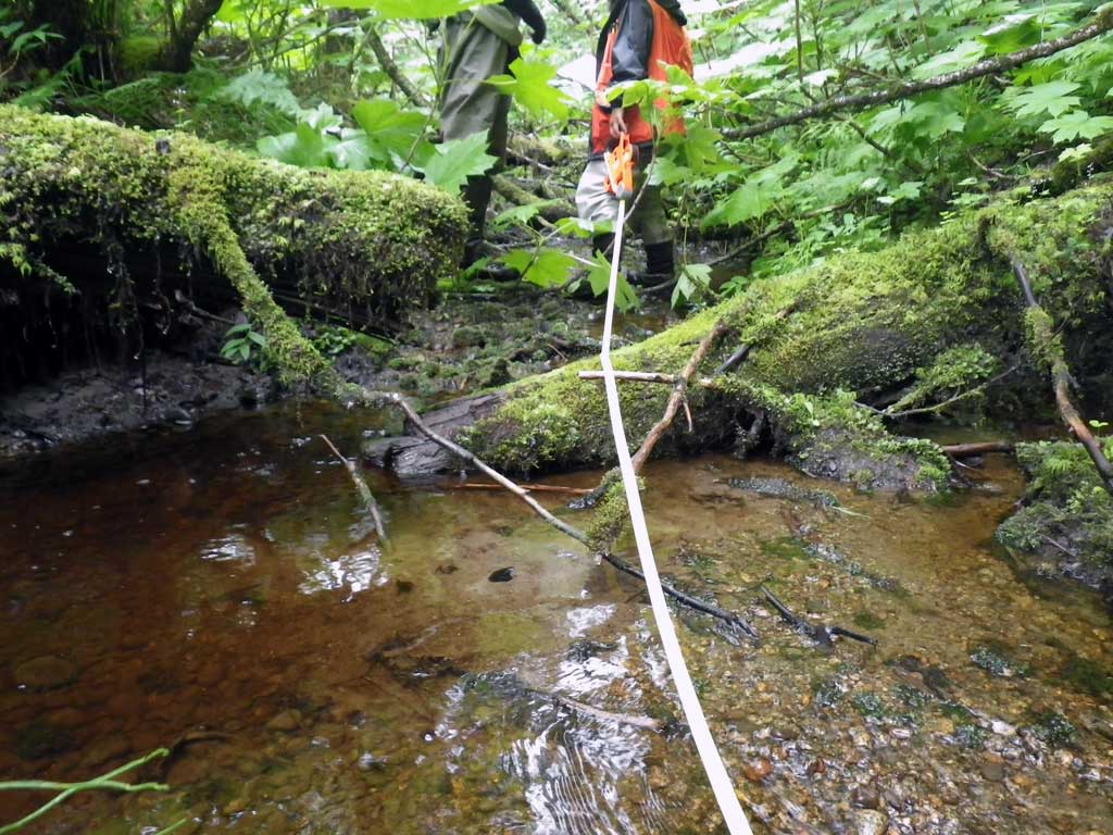
Stream Measurements
|
|
| Stream Width Type | Distance From Crossing (ft) |
Stream Width (ft) |
|---|---|---|
| Upstream ordinary high water | 35.0 | 5.10 |
| Upstream ordinary high water | 50.0 | 5.40 |
| Upstream ordinary high water | 91.0 | 4.80 |
Elevations
| Locator ID | Culvert Number |
River Distance (ft)1 |
Distance From Crossing (ft)2 |
Relative Elevation (ft) |
|---|---|---|---|---|
| Road Elev | 105.54 | |||
| D/S Grade Ctrl (Thalweg) (Top of riffle) | 0.00 | 94.38 | ||
| D/S Water Surface Elev | 0.00 | 94.61 | ||
| D/S Tailcrest or 1st Thalweg | 5.50 | 94.98 | ||
| D/S Water Surface Elev | 5.50 | 95.12 | ||
| Outlet Pool Water Elev | 10.50 | 95.20 | ||
| Max Pool Depth | 10.50 | 93.39 | ||
| D/S Water Surface Elev (Invert out) | 11.50 | 95.17 | ||
| Outlet Invert (on metal) | 11.50 | 95.00 | ||
| Inlet Culvert Invert | 72.50 | 96.00 | ||
| U/S Water Surface Elev | 72.50 | 96.21 | ||
| Inlet Culvert Top (on metal, benchmark) | 72.50 | 100.00 | ||
| U/S Headwater (1st resting) | 73.50 | 96.16 |
Notes:
- River distance is measured continuously throughout the survey reach along the thalweg of the stream.
- Measured from each end of the crossing along the thalweg of the stream.
Fish Sampling Efforts
| Gear Type: Minnow Trap (A) | Trap Duration(h): 1.5 | |
| Channel Type: Main Channel (>50% of water flow) | ||
| Comments: Set at 30 feet upstream of invert in, Lat. 58.53061 Long. -134.78473 | ||
| Gear Type: Minnow Trap (B) | Trap Duration(h): 1.5 | |
| Channel Type: Main Channel (>50% of water flow) | ||
| Comments: Set in 70 feet downstream of invert out at Lat. 58.53053 Long. -134.78442 | ||
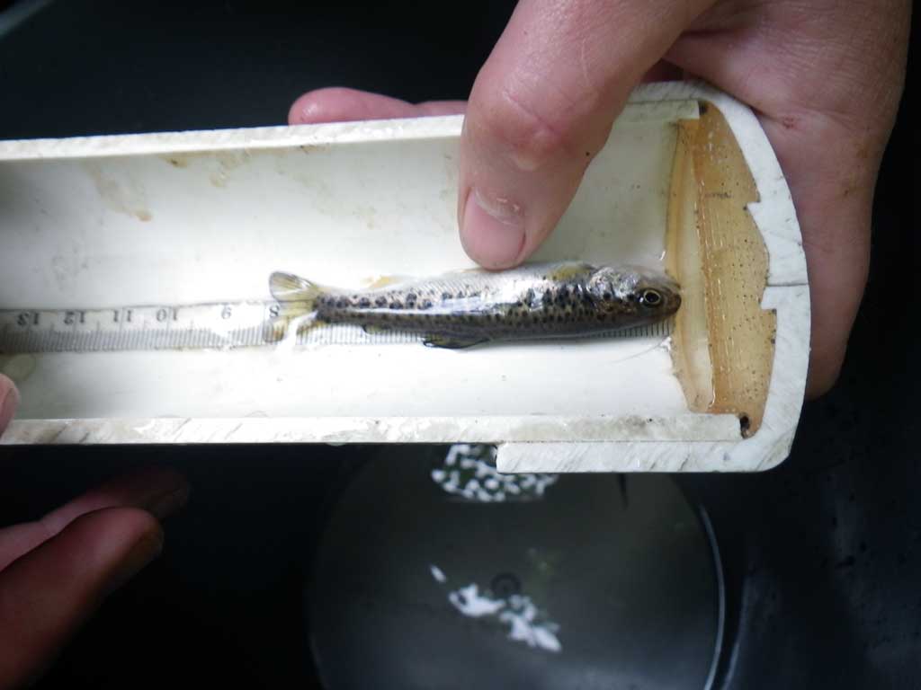
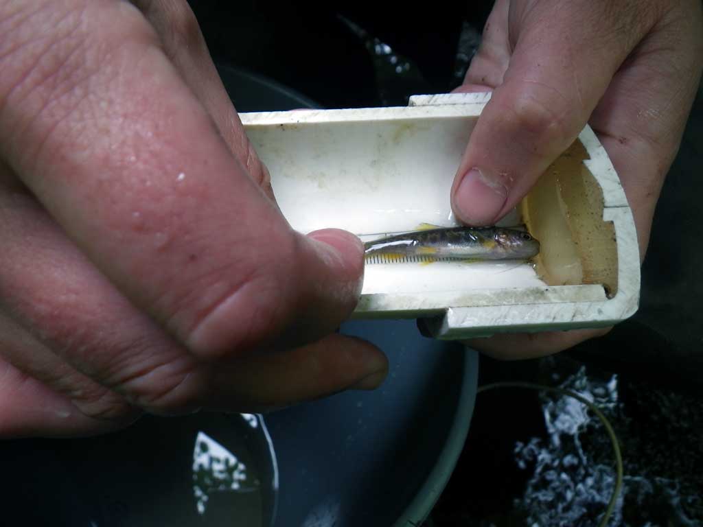
Fish Observations
| Species: juvenile salmonid-unspecified | Life History: Unknown | ||
| Total Fish Observed: 1 | Fish Measured: 1 | Fork Lengths (mm) Min: 6 Max: 6 Mean: 6 | |
| Collected/Observed by Gear Type: Upstream Minnow Trap (1) | |||
| Species: juvenile coho salmon | Life History: Anadromous | ||
| Total Fish Observed: 1 | Fish Measured: 1 | Fork Lengths (mm) Min: 5 Max: 5 Mean: 5 | |
| Collected/Observed by Gear Type: Upstream Minnow Trap (1) | |||
| Species: juvenile steelhead | Life History: Anadromous | ||
| Total Fish Observed: 1 | Fish Measured: 1 | Fork Lengths (mm) Min: 8 Max: 8 Mean: 8 | |
| Collected/Observed by Gear Type: Downstream Minnow Trap (1) | |||
| Species: juvenile Dolly Varden | Life History: Unknown | ||
| Total Fish Observed: 2 | Fish Measured: 2 | Fork Lengths (mm) Min: 5 Max: 6 Mean: 5 | |
| Collected/Observed by Gear Type: Downstream Minnow Trap (1) Upstream Minnow Trap (1) | |||
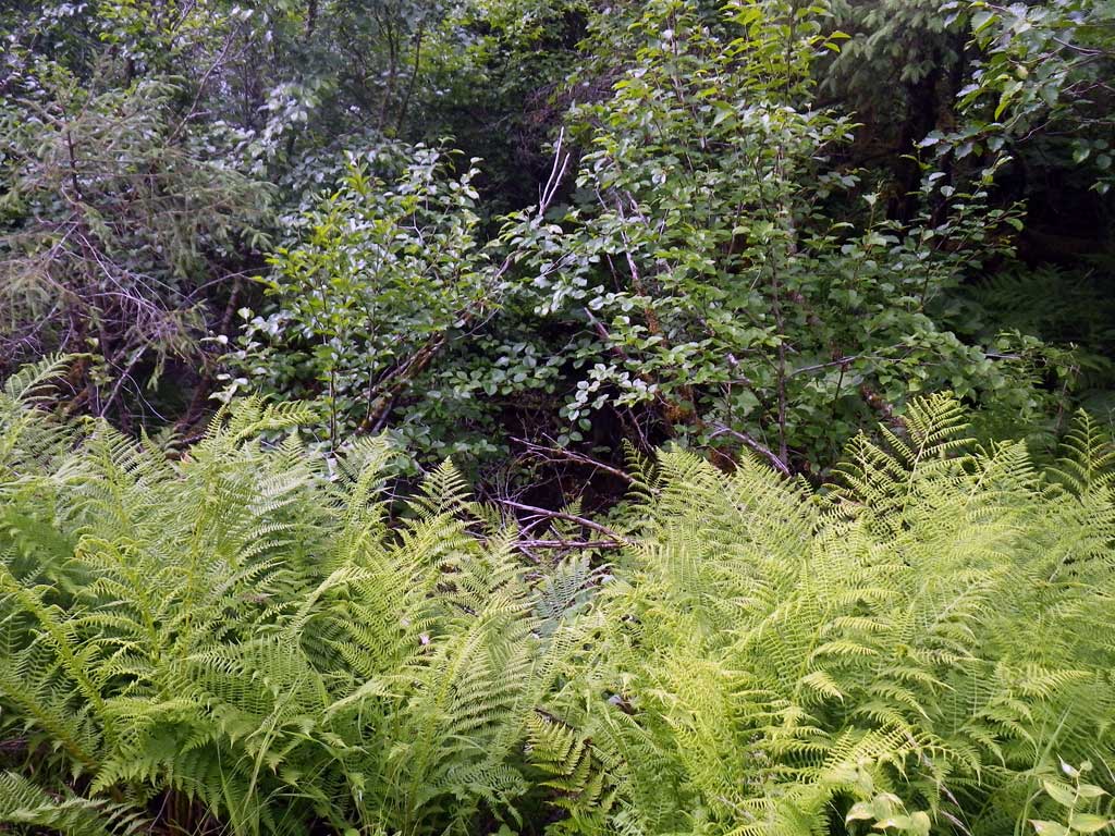
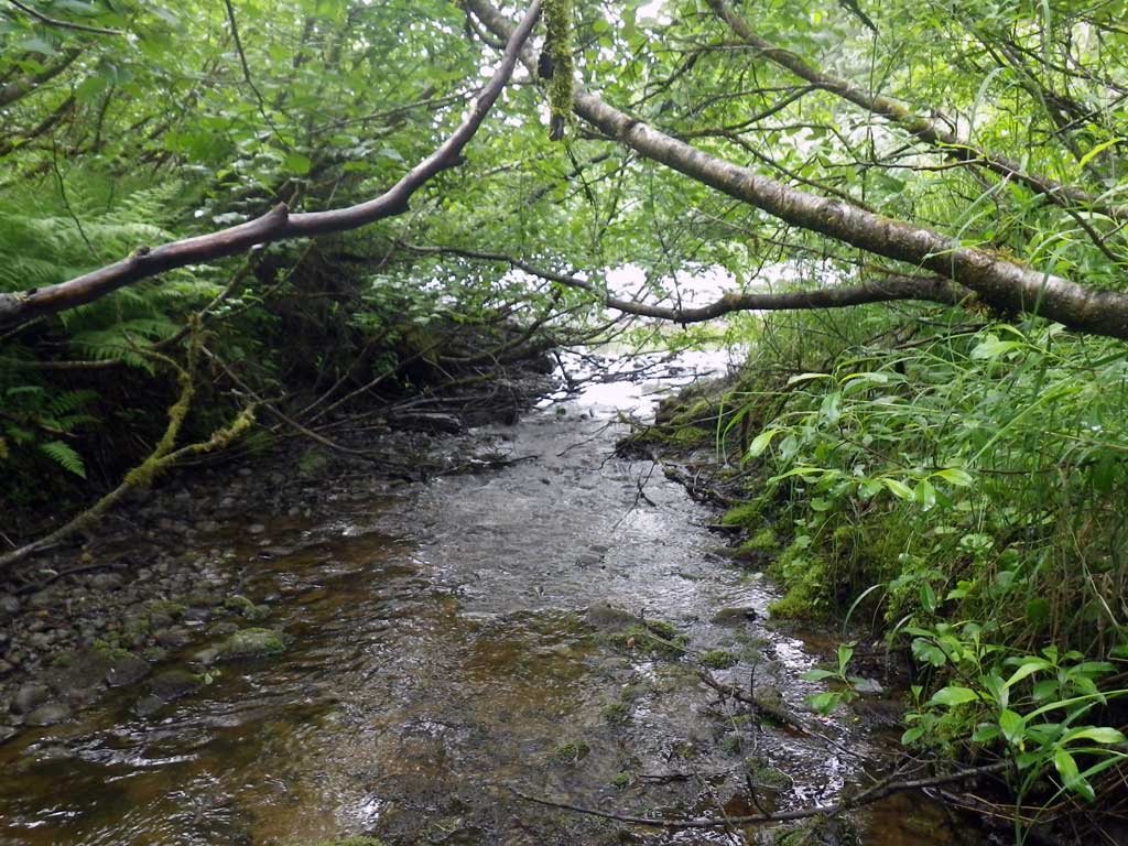
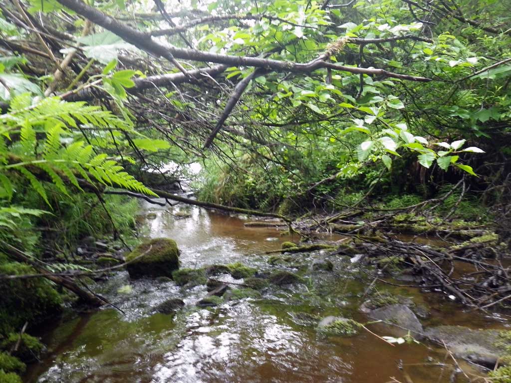
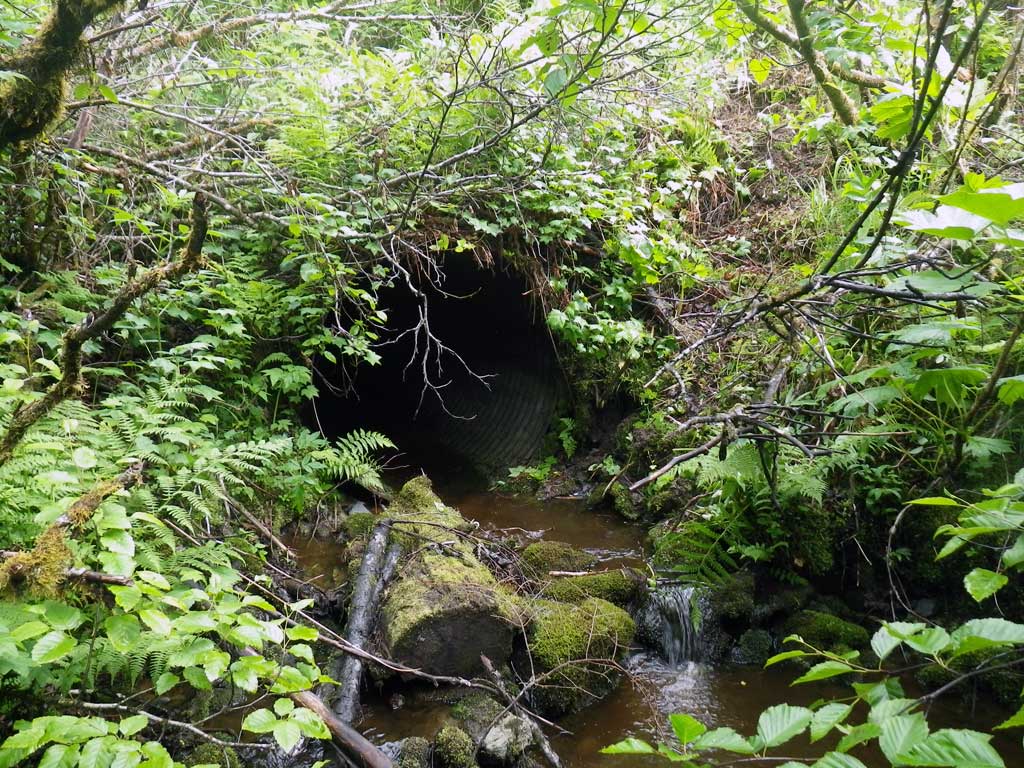
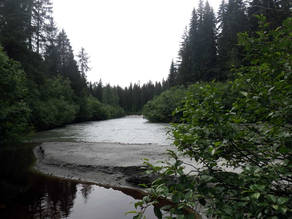
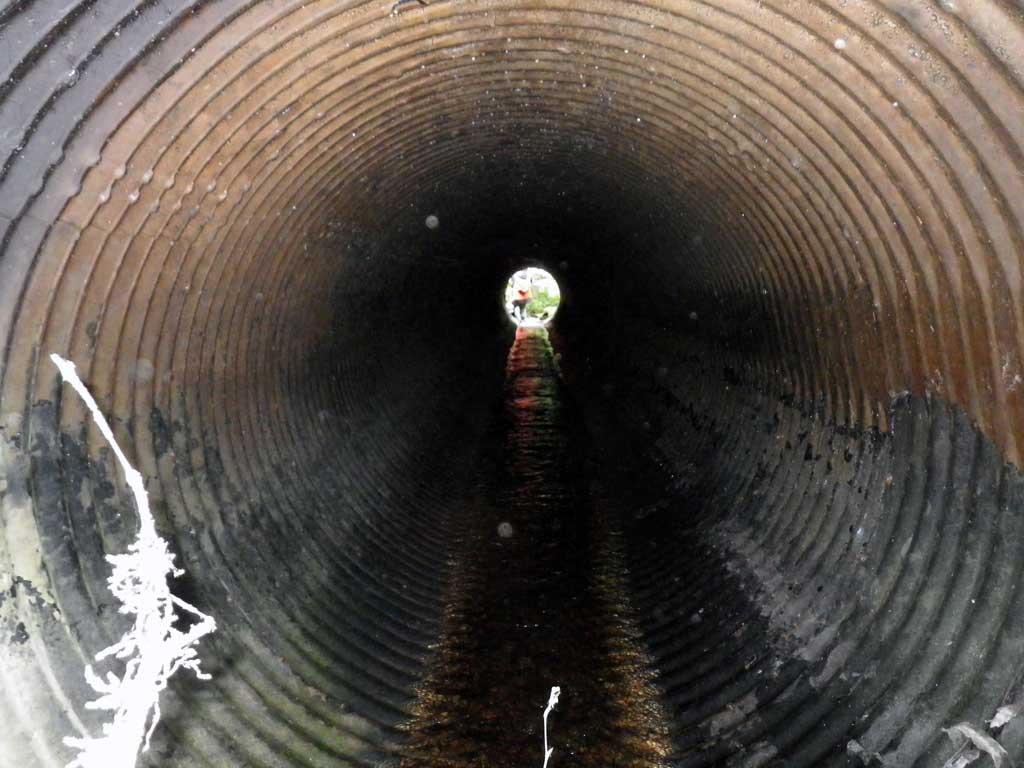
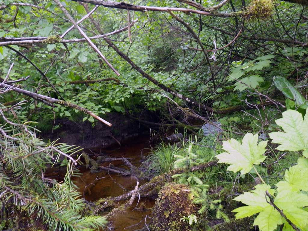
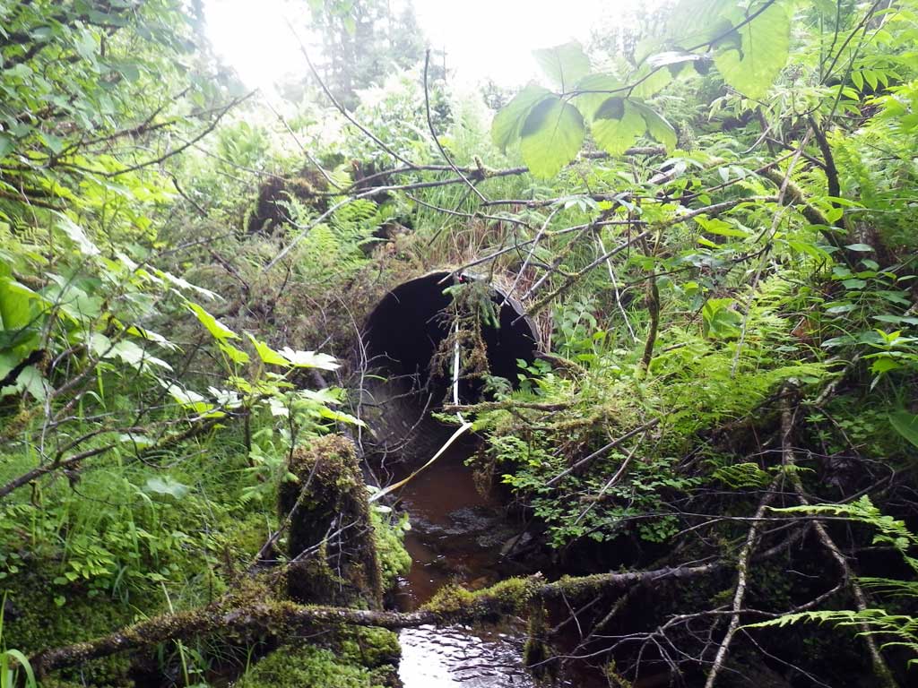
Photos
Questions or comments about this report can be directed to dfg.dsf.webmaster@alaska.gov