Fish Passage Site 10302226
Coordinates (dec. deg.): 58.50908°, -134.78040°
Legal Description: C039S064E12
Region: Southeast
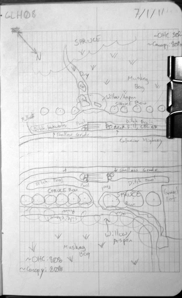
Road Name: Glacier Highway
Datum: NAD83
Quad Name / ITM: Juneau C-3
AWC Stream #:
Stream Name: Strawberry Creek tributary
Elevation:
Site Comments: None
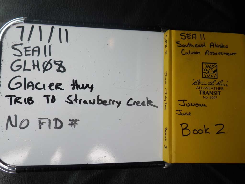
Survey SEA11-GLH08
Project Supervisor: Gillian O'Doherty, Alaska Department of Fish and Game
— Anchorage, AK
Observers: Jason Olds, Charmagne Gutierrez
Overall Fish Passage Rating:
Tidal: No
Backwatered: Yes
Step Pools: No
Construction Year:
Site Observations:
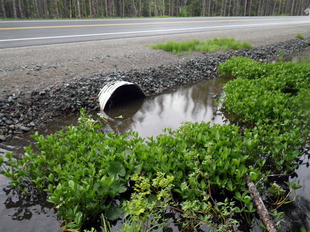
- Road Fill (pushed off road by grader)
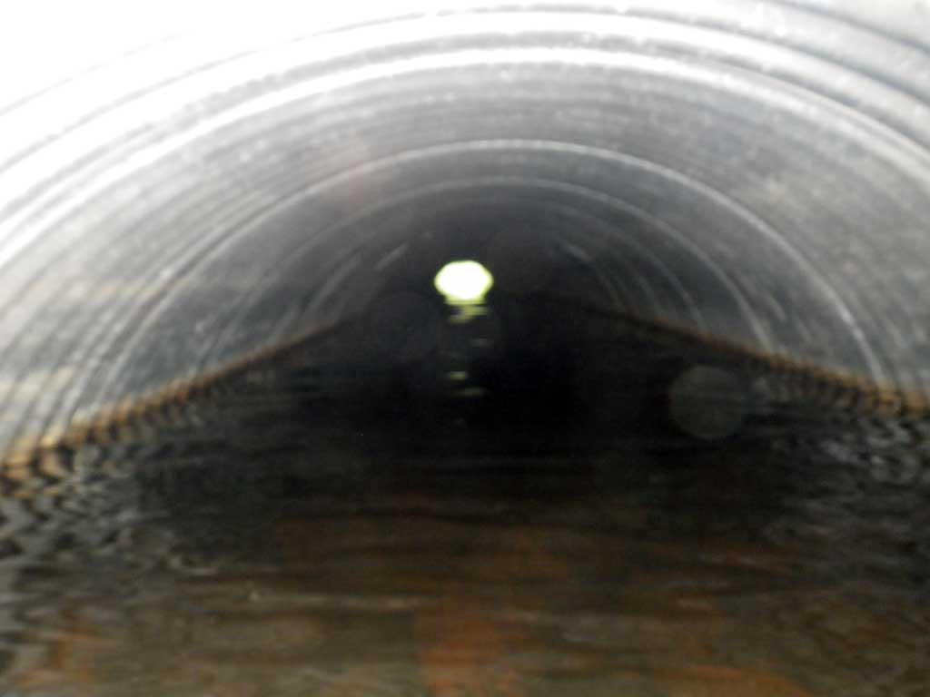
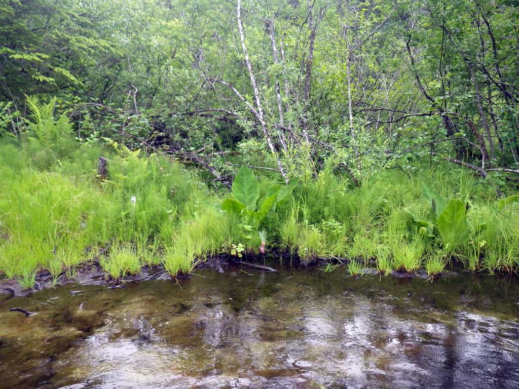
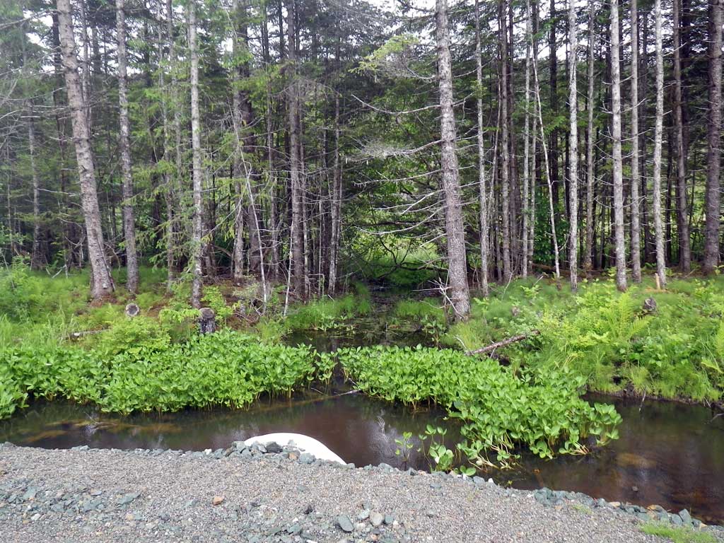
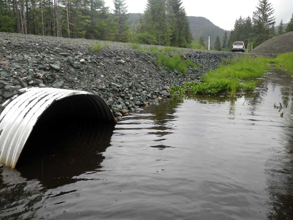
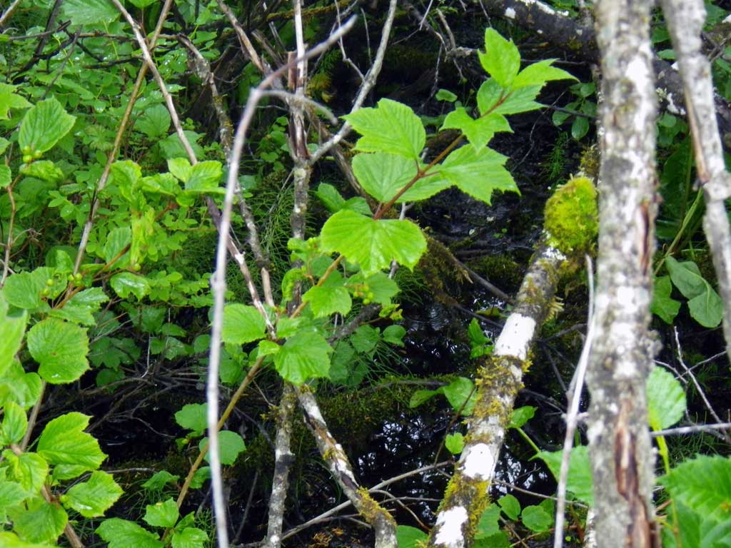
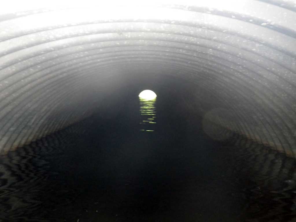
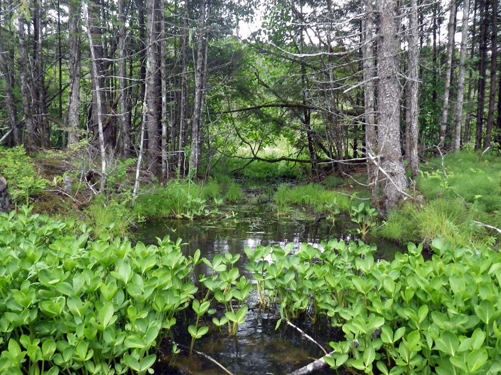
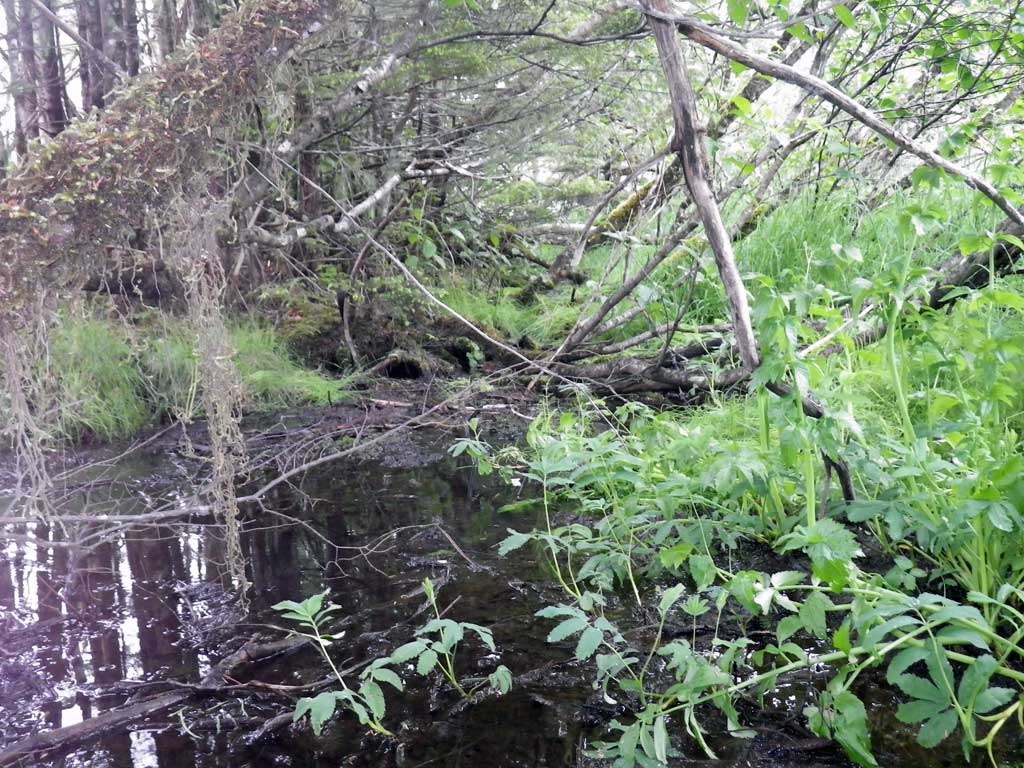
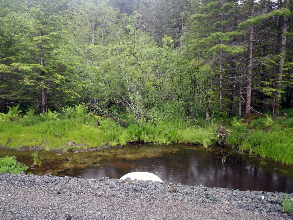
Comments: No traps set as stream is already in the AWC. Pipe not embedded, substrate at inverts likely road grade fill flowing in, quickly drops down to metal ~4 feet into pipe. Upstream very mechanically influenced, ditch drain adjacent to field and gravel lot. Both upstream and downstream drain or flow through a muskeg/bog system.
Culvert Measurements
| ID: 1 | Structure Type: Circular pipe (Corrugated aluminum) | Fish Passage Rating: | |||||||||||||||||||||||||||||||||||||||||
|
|
|
|||||||||||||||||||||||||||||||||||||||||
Culvert Observations:
|
|||||||||||||||||||||||||||||||||||||||||||
Stream Measurements
|
|
| Stream Width Type | Distance From Crossing (ft) |
Stream Width (ft) |
|---|---|---|
| Upstream ordinary high water | 60.0 | 7.00 |
| Upstream ordinary high water | 70.0 | 5.00 |
| Upstream ordinary high water | 80.0 | 5.00 |
Elevations
| Locator ID | Culvert Number |
River Distance (ft)1 |
Distance From Crossing (ft)2 |
Relative Elevation (ft) |
|---|---|---|---|---|
| Road Elev | 103.11 | |||
| D/S Tailcrest or 1st Thalweg (Dry) | 0.00 | 98.69 | ||
| Max Pool Depth | 8.00 | 96.13 | ||
| Outlet Pool Water Elev | 8.00 | 98.39 | ||
| D/S Water Surface Elev (Invert out) | 14.00 | 98.45 | ||
| Outlet Invert (Invert out, on substrate) | 14.00 | 97.33 | ||
| Outlet Culvert Top (Invert out, on metal) | 14.00 | 100.01 | ||
| Inlet Culvert Top (Invert in) | 76.70 | 100.00 | ||
| Inlet Culvert Invert (Invert in) | 76.70 | 97.09 | ||
| U/S Headwater (Invert in, 1st resting) | 76.70 | 98.42 | ||
| U/S Grade Ctrl (Thalweg) | 123.00 | 98.04 | ||
| U/S Water Surface Elev | 123.00 | 98.47 | ||
| U/S Grade Ctrl (Thalweg) | 138.00 | 98.09 | ||
| U/S Water Surface Elev | 138.00 | 98.46 |
Notes:
- River distance is measured continuously throughout the survey reach along the thalweg of the stream.
- Measured from each end of the crossing along the thalweg of the stream.
Fish Sampling Efforts
| Gear Type: None (A) | ||
| Comments: No traps set no fish observed. | ||
Fish Observations
No fish observations occurred during this survey.
Photos
Questions or comments about this report can be directed to dfg.dsf.webmaster@alaska.gov