Fish Passage Site 10302223
Coordinates (dec. deg.): 58.45557°, -134.77261°
Legal Description: C039S064E36
Region: Southeast
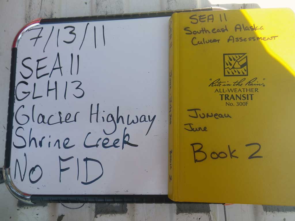
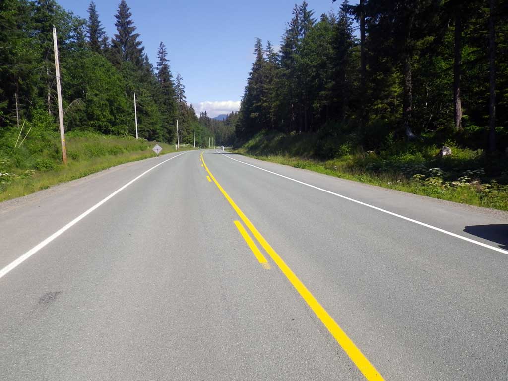
Road Name: Glacier Highway
Datum: NAD83
Quad Name / ITM: Juneau B-3
AWC Stream #:
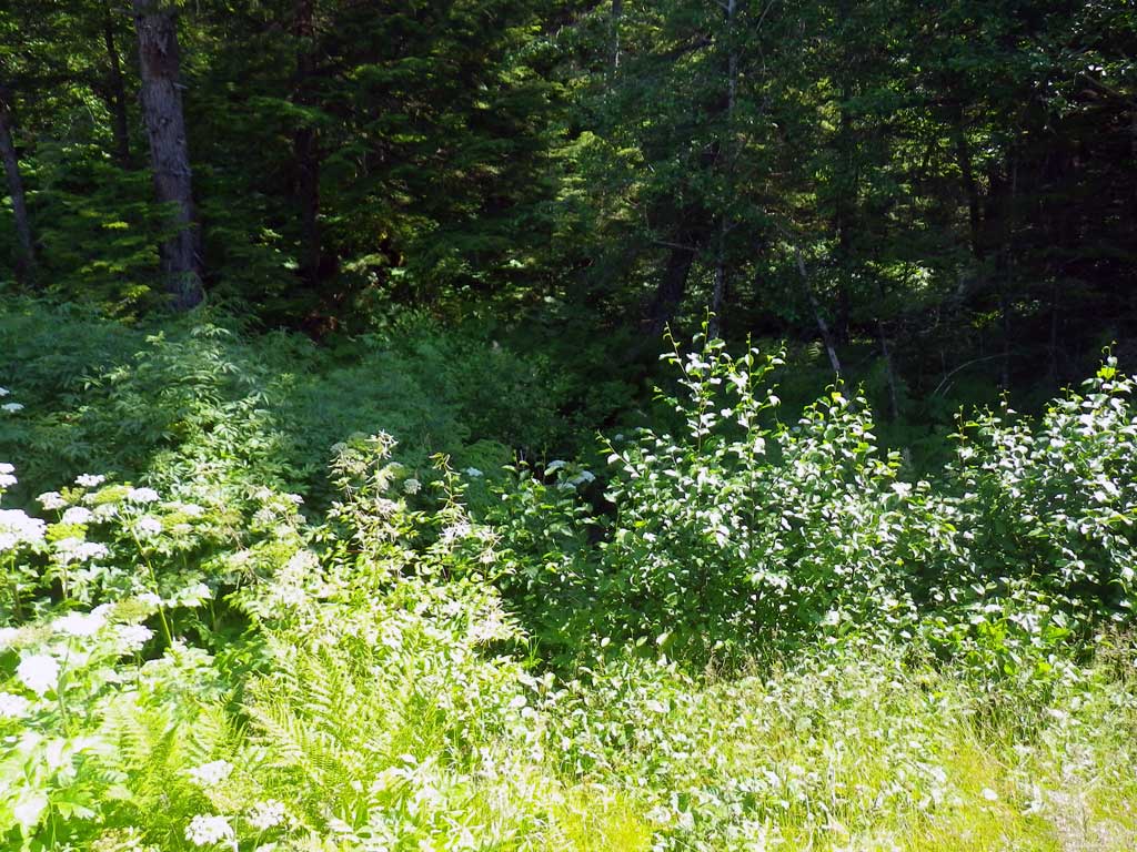
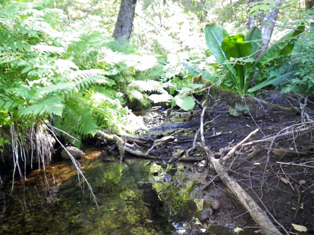
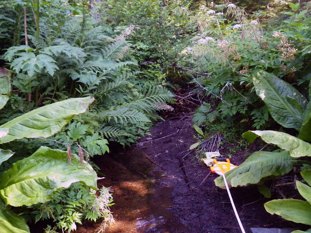
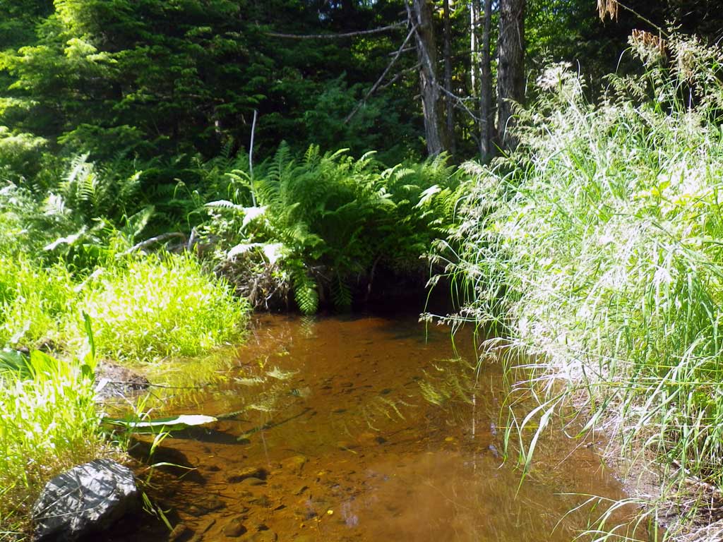
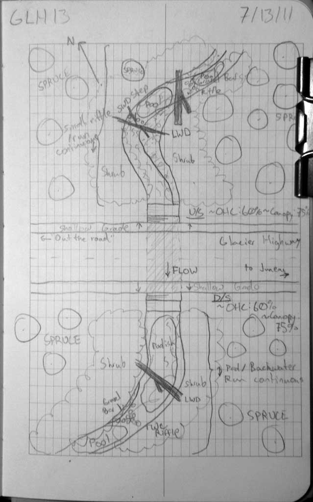
Stream Name: Shrine Creek
Elevation:
Site Comments: None
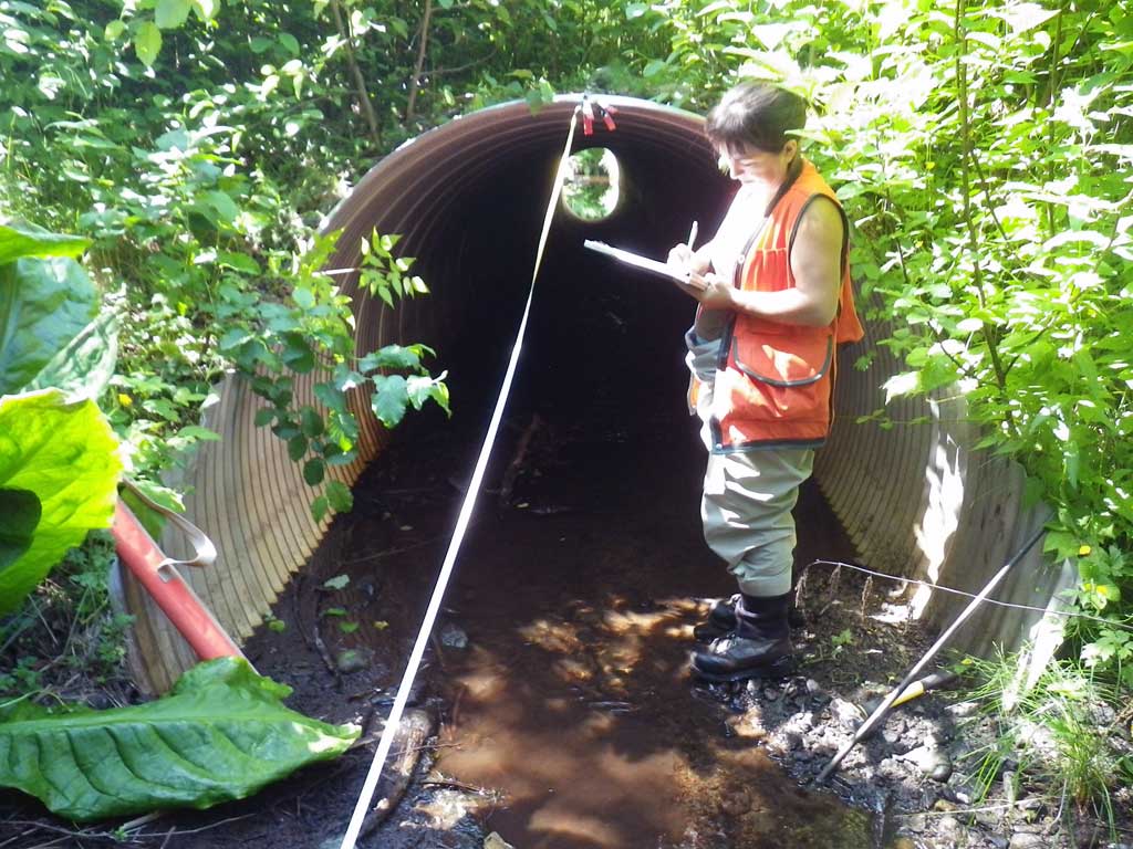
Survey SEA11-GLH13
Project Supervisor: Gillian O'Doherty, Alaska Department of Fish and Game
— Anchorage, AK
Observers: Jason Olds, Charmagne Gutierrez
Overall Fish Passage Rating:
Tidal: No
Backwatered: No
Step Pools: No
Construction Year:
Site Observations:
- None of this type
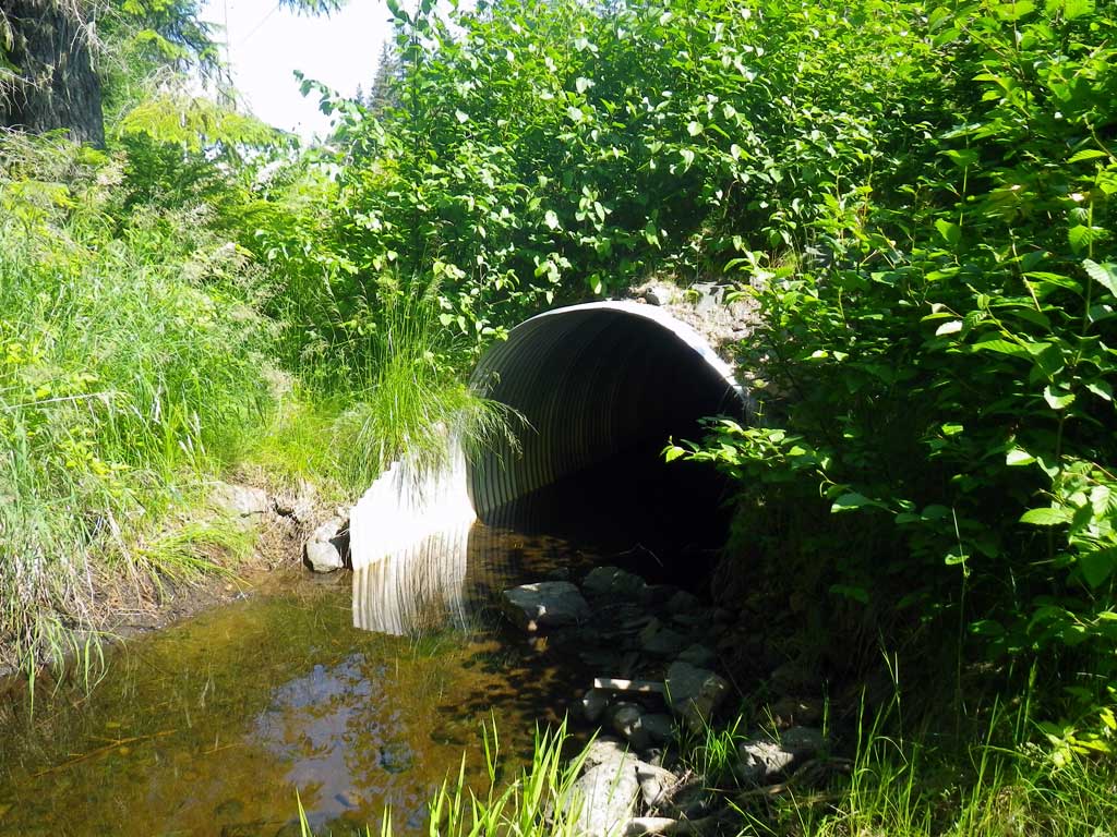
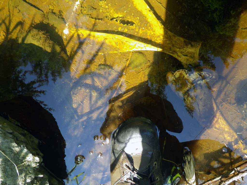
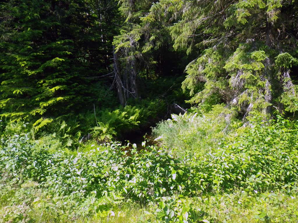
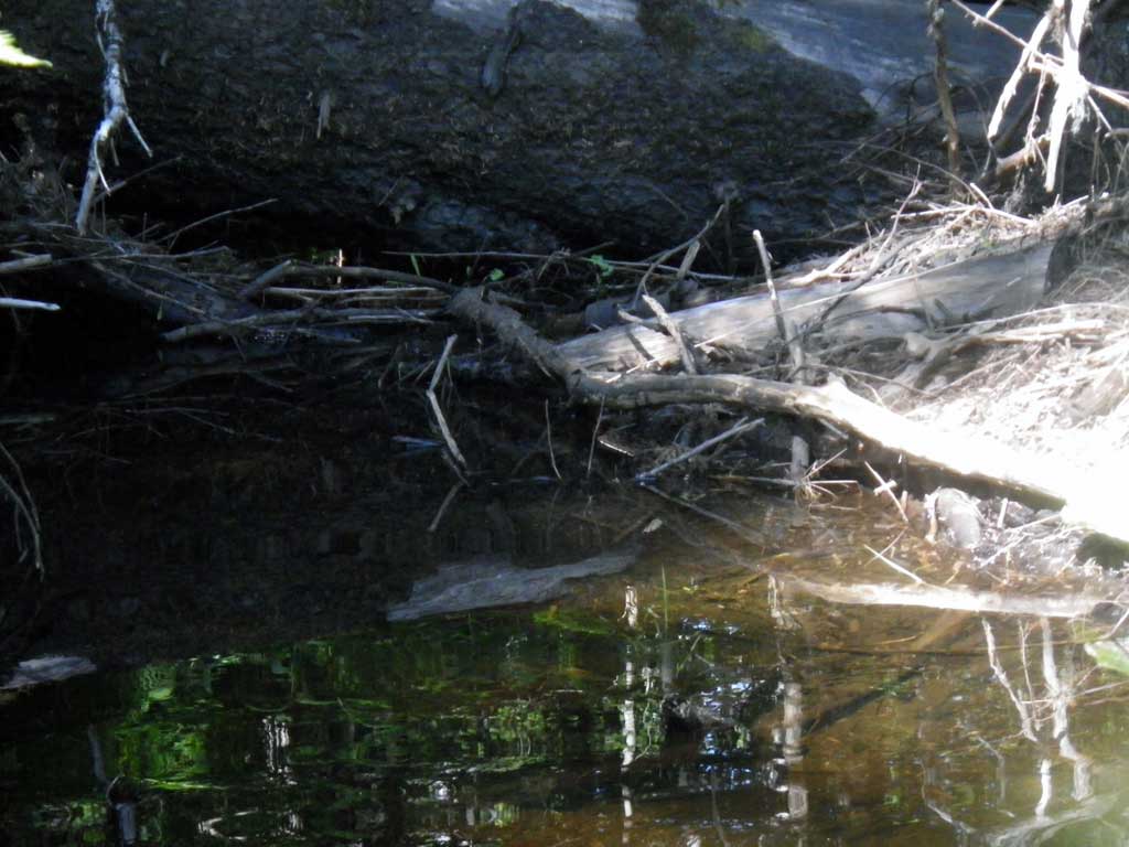
Comments: No traps were set as stream is already in the AWC. 100+ juvenile salmonids observed upstream and downstream of pipe. Stream channel has heavy vegetation making stream gradient impossible to shoot, however it would apear to be at or near 0% as stream is flatwater throughout with very small step riffles aproximately every 150 to 200 feet. Nearly continuous pool systems.
Culvert Measurements
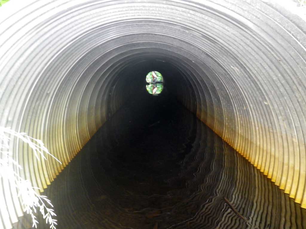
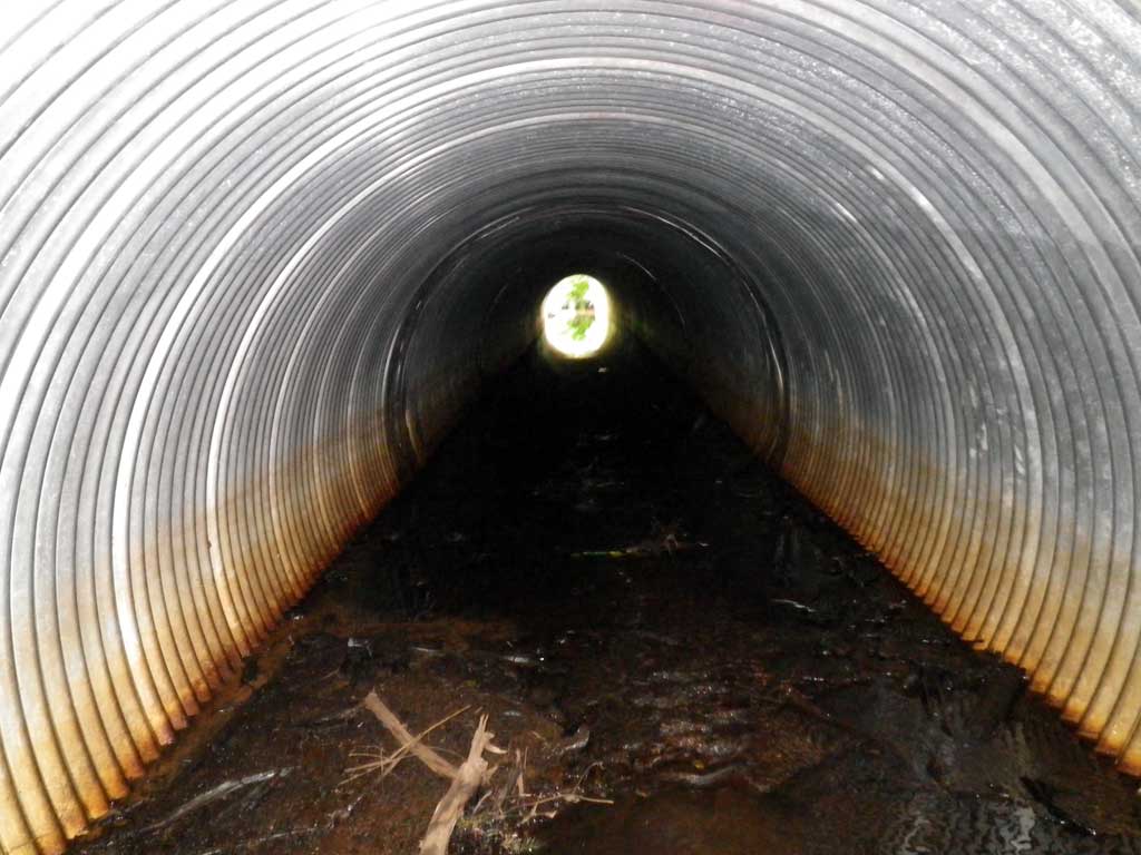
| ID: 1 | Structure Type: Circular pipe (Corrugated aluminum) | Fish Passage Rating: | ||||||||||||||||||||||||||||||||||||||||||
|
|
|
||||||||||||||||||||||||||||||||||||||||||
Culvert Observations:
|
||||||||||||||||||||||||||||||||||||||||||||
Stream Measurements
|
|
| Stream Width Type | Distance From Crossing (ft) |
Stream Width (ft) |
|---|---|---|
| Upstream ordinary high water | 38.0 | 7.20 |
| Upstream ordinary high water | 70.0 | 6.00 |
| Upstream ordinary high water | 86.0 | 5.10 |
Elevations
| Locator ID | Culvert Number |
River Distance (ft)1 |
Distance From Crossing (ft)2 |
Relative Elevation (ft) |
|---|---|---|---|---|
| Road Elev | 100.00 | |||
| D/S Tailcrest or 1st Thalweg (Run, Continuous downstream over 150 feet, small step riffle) | 0.00 | 85.74 | ||
| D/S Water Surface Elev | 0.00 | 85.94 | ||
| Outlet Pool Water Elev | 73.00 | 85.96 | ||
| Max Pool Depth | 73.00 | 84.57 | ||
| Outlet Culvert Top (Invert out, on metal, top of miter) | 80.80 | 90.49 | ||
| Outlet Invert (Invert out, on substrate, end of miter) | 84.00 | 85.42 | ||
| D/S Water Surface Elev (Invert out, end of miter) | 84.00 | 85.96 | ||
| Inlet Culvert Top (Invert in, on metal) | 125.50 | 91.27 | ||
| Inlet Culvert Invert (Invert it, on substrate, end of miter) | 129.30 | 85.98 | ||
| U/S Water Surface Elev (Invert in, end of miter) | 129.30 | 86.22 | ||
| U/S Headwater (1st resting) | 130.00 | 86.21 |
Notes:
- River distance is measured continuously throughout the survey reach along the thalweg of the stream.
- Measured from each end of the crossing along the thalweg of the stream.
Fish Sampling Efforts
| Gear Type: Visual Observation, Ground (A) | Trap Duration(h): 30.0 | |
| Channel Type: Main Channel (>50% of water flow) | ||
| Comments: Visual observation | ||
| Gear Type: Visual Observation, Ground (B) | Trap Duration(h): 30.0 | |
| Channel Type: Main Channel (>50% of water flow) | ||
| Comments: Visual observation | ||
Fish Observations
| Species: juvenile coho salmon | Life History: Unknown | ||
| Total Fish Observed: 102 | Fish Measured: 2 | Fork Lengths (mm) Min: 8 Max: 8 Mean: 8 | |
| Collected/Observed by Gear Type: Downstream Visual Observation, Ground (1) Upstream Visual Observation, Ground (101) | |||
Photos
Questions or comments about this report can be directed to dfg.dsf.webmaster@alaska.gov