Fish Passage Site 10302222
Coordinates (dec. deg.): 58.50453°, -134.77022°
Legal Description: C039S064E12
Region: Southeast
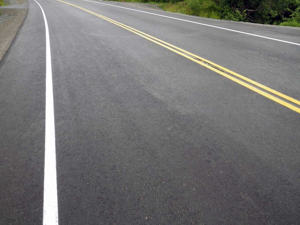
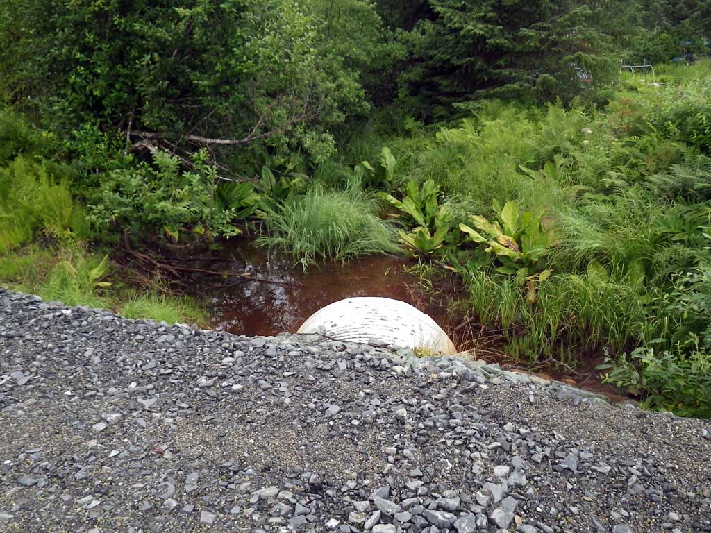
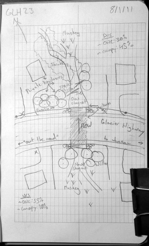
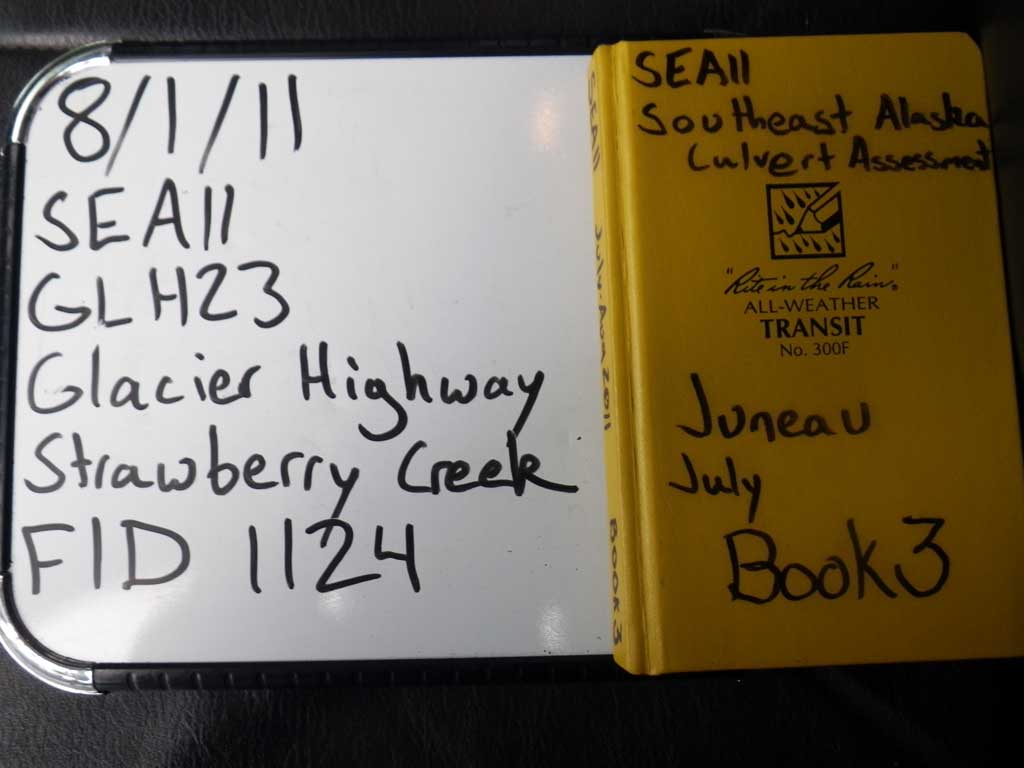
Road Name: Glacier Highway
Datum: NAD83
Quad Name / ITM: Juneau C-3
AWC Stream #:
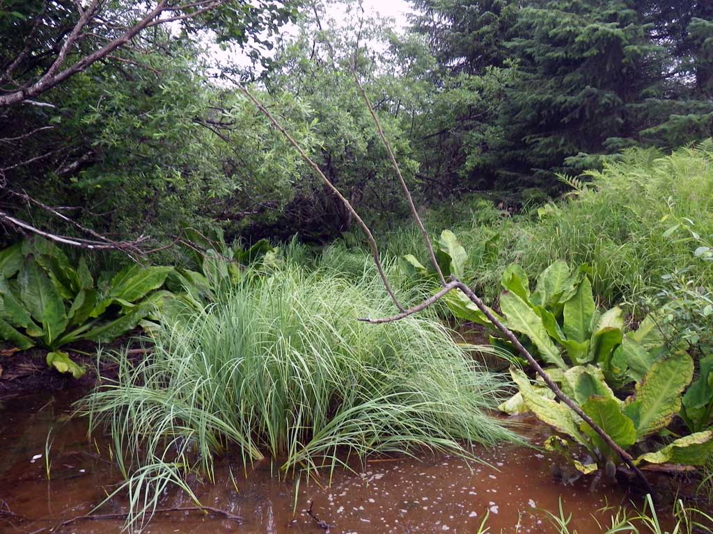
Stream Name: Strawberry Creek
Elevation:
Site Comments: None
Survey SEA11-Glh23
Project Supervisor: Gillian O'Doherty, Alaska Department of Fish and Game
— Anchorage, AK
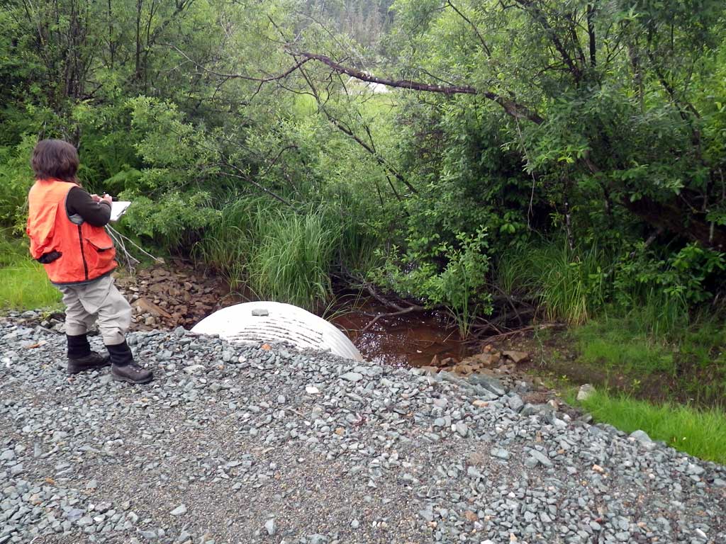
Observers: Jason Olds, Charmagne Gutierrez
Overall Fish Passage Rating:
Tidal: No
Backwatered: Yes
Step Pools: No
Construction Year:
Site Observations:
- None of this type
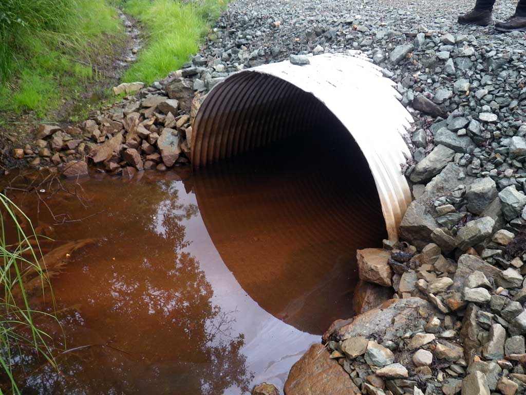
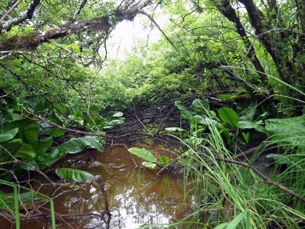
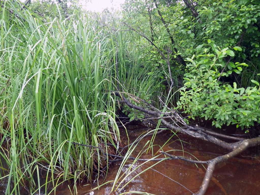
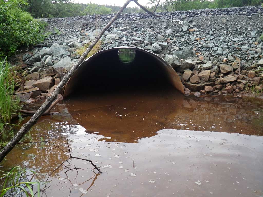
Comments: Stream bed too deep to walk; channelized. After road fill, heavily vegitated and muddy. Upstream/Downstream habitat has a lot of organic decomposition & sitting water. NO visible flow. Completely flatwatered; tail crest not accessable.
Culvert Measurements
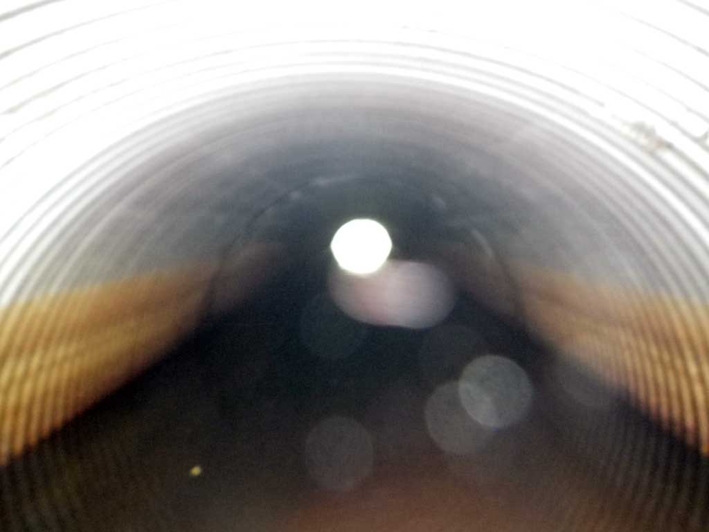
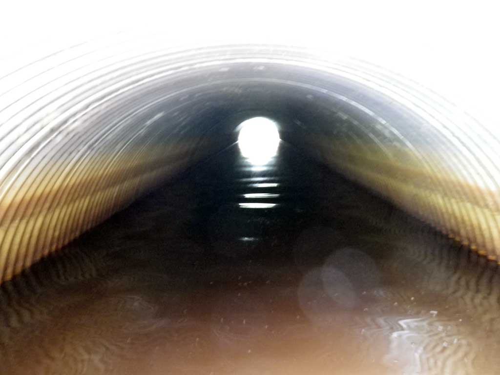
| ID: 1 | Structure Type: Circular pipe (Corrugated aluminum) | Fish Passage Rating: | ||||||||||||||||||||||||||||||||||||||||||
|
|
|
||||||||||||||||||||||||||||||||||||||||||
Culvert Observations:
|
||||||||||||||||||||||||||||||||||||||||||||
Stream Measurements
|
|
No stream width data available.
Elevations
| Locator ID | Culvert Number |
River Distance (ft)1 |
Distance From Crossing (ft)2 |
Relative Elevation (ft) |
|---|---|---|---|---|
| Road Elev | 103.52 | |||
| Misc. (No discernable tailcrest or grade points) | 0.00 | 95.61 | ||
| D/S Water Surface Elev | 0.00 | 96.55 | ||
| D/S Water Surface Elev | 8.00 | 96.55 | ||
| Outlet Invert (On substrate) | 8.00 | 95.11 | ||
| Outlet Culvert Top | 8.00 | 99.34 | ||
| Inlet Culvert Top | 81.60 | 100.00 | ||
| Inlet Culvert Invert (on metal) | 81.60 | 95.49 | ||
| U/S Headwater | 81.60 | 96.55 | ||
| U/S Water Surface Elev | 86.00 | 96.55 | ||
| Misc. (Survey point, on substrate) | 86.00 | 95.02 |
Notes:
- River distance is measured continuously throughout the survey reach along the thalweg of the stream.
- Measured from each end of the crossing along the thalweg of the stream.
Fish Sampling Efforts
| Gear Type: None (A) | ||
| Comments: No traps set no fish observed. | ||
Fish Observations
No fish observations occurred during this survey.
Photos
Questions or comments about this report can be directed to dfg.dsf.webmaster@alaska.gov