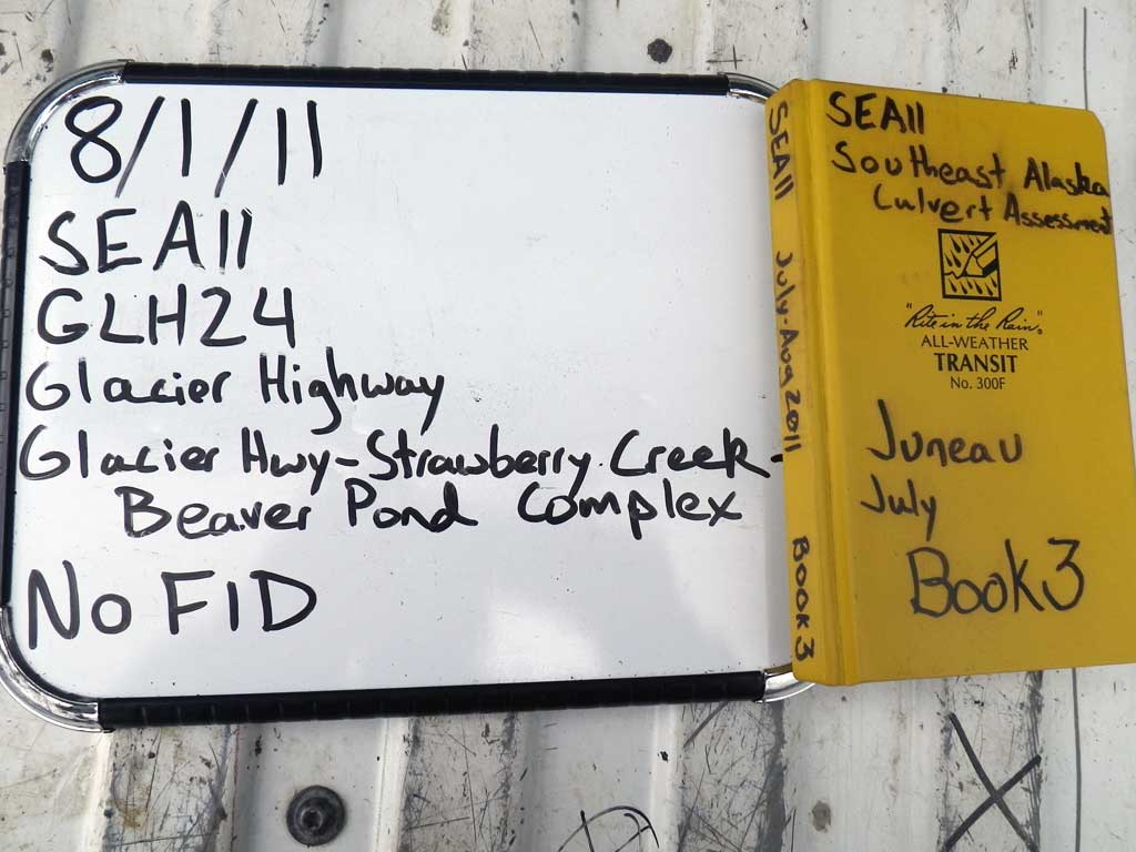
Fish Passage Site 10302220
Coordinates (dec. deg.): 58.50261°, -134.76881°
Legal Description: C039S064E12
Region: Southeast
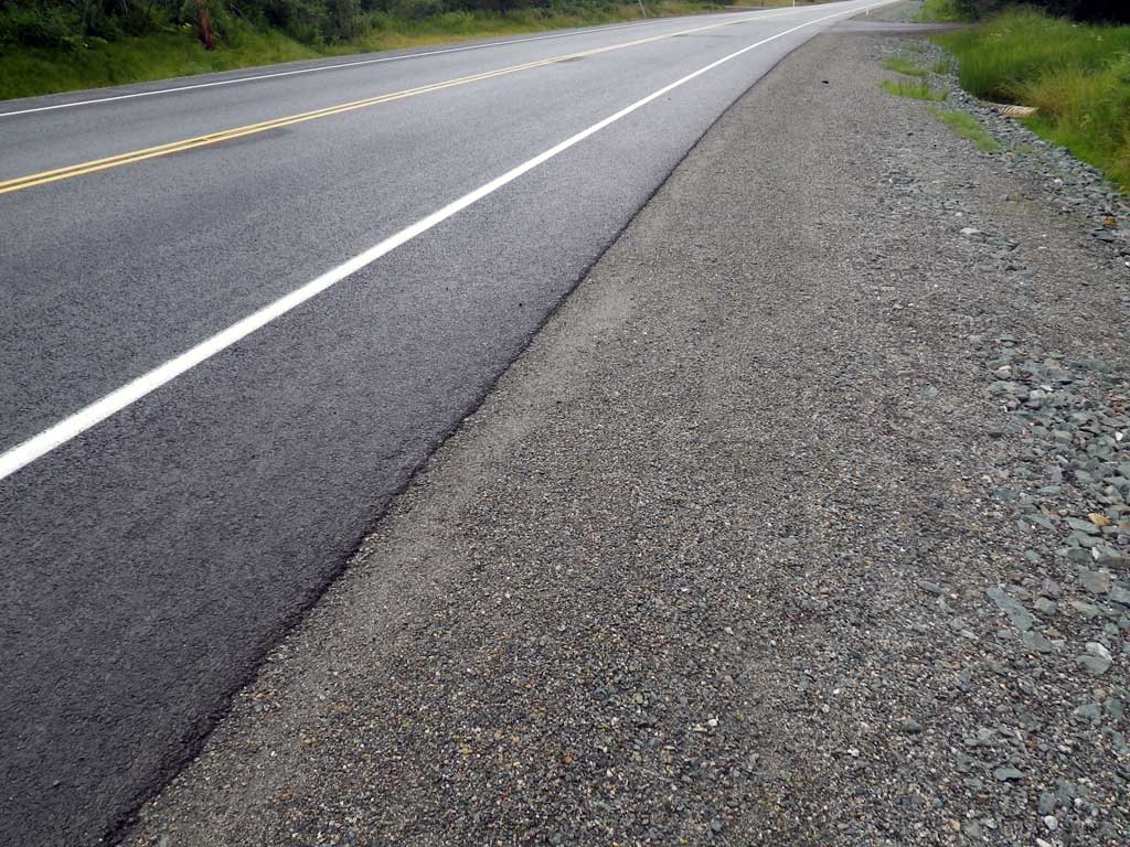
Road Name: Glacier Highway
Datum: NAD83
Quad Name / ITM: Juneau C-3
AWC Stream #:
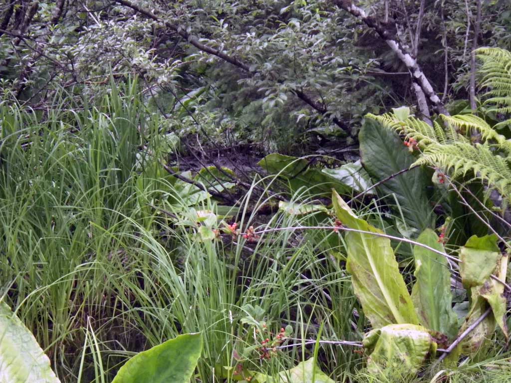
Stream Name: Strawberry Creek tributary
Elevation:
Site Comments: Near milepost 25.
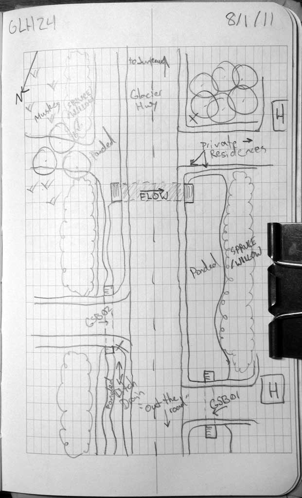
Survey SEA11-GLH24
Project Supervisor: Gillian O'Doherty, Alaska Department of Fish and Game
— Anchorage, AK
Observers: Jason Olds, Charmagne Gutierrez
Overall Fish Passage Rating:
Tidal: No
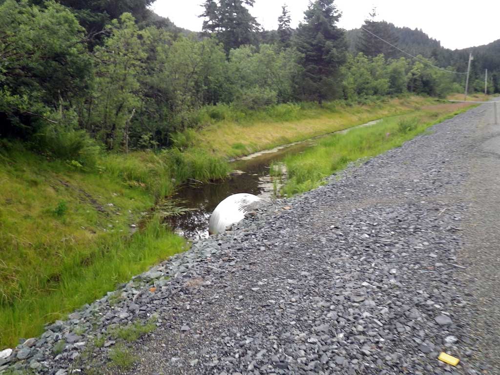
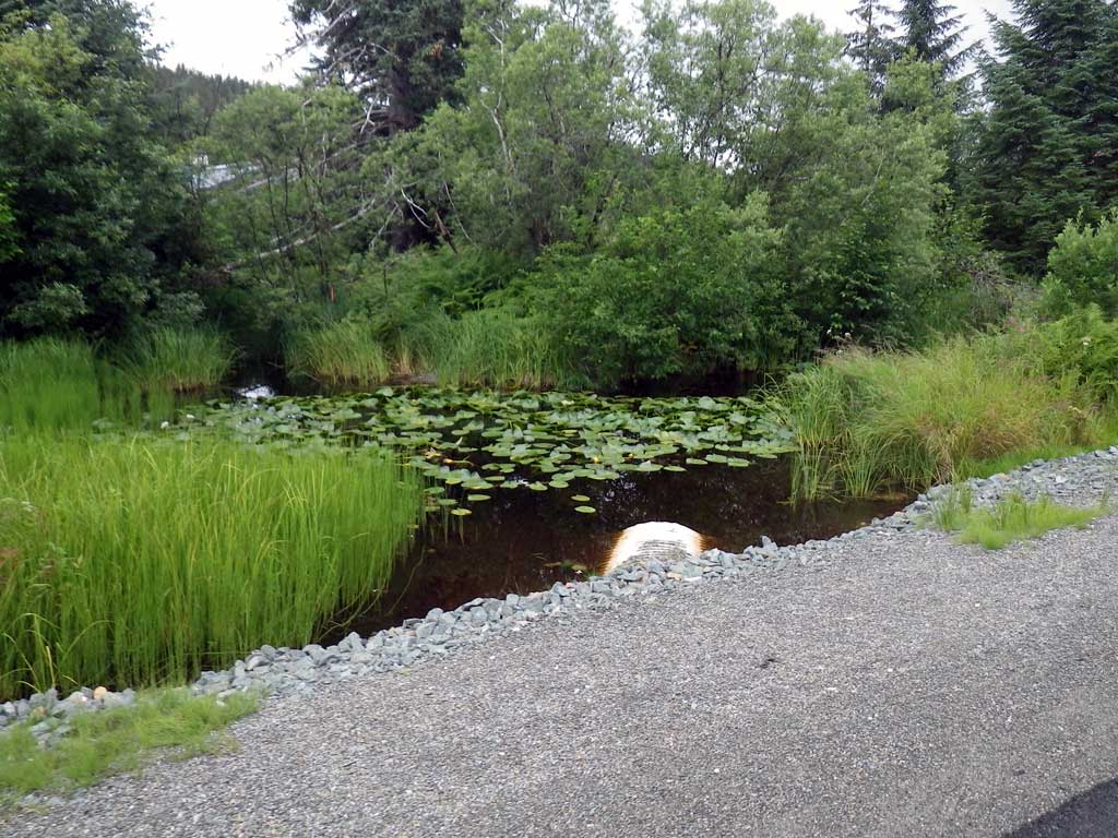
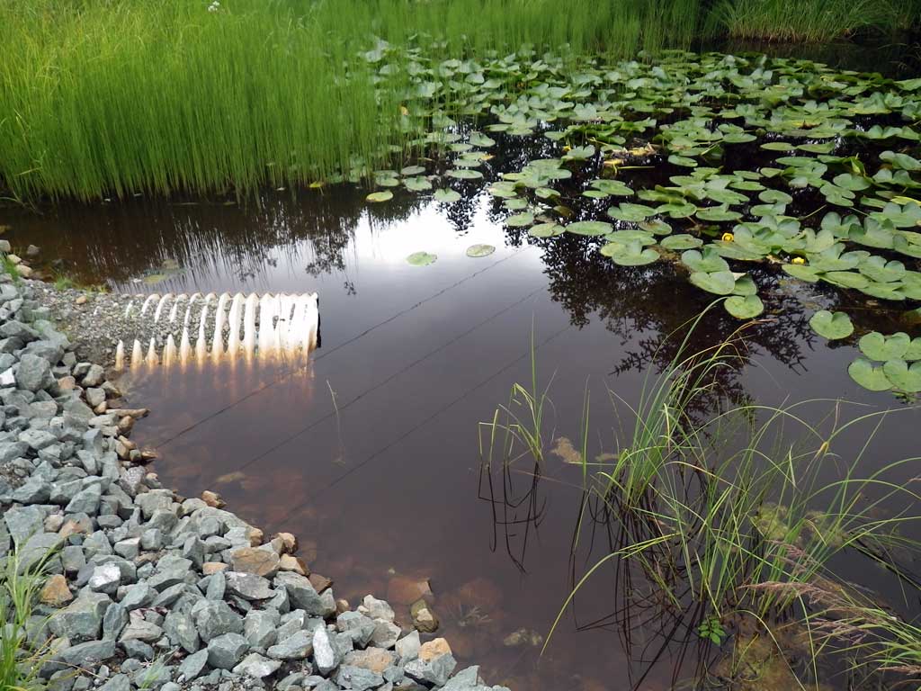
Backwatered: Yes
Step Pools: No
Construction Year:
Site Observations:
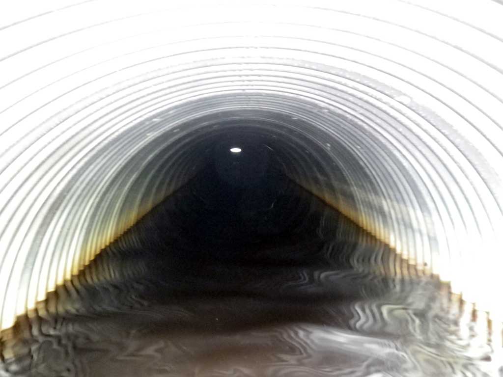
- Culvert gradient red
- Hydraulic flows exceeded capacity
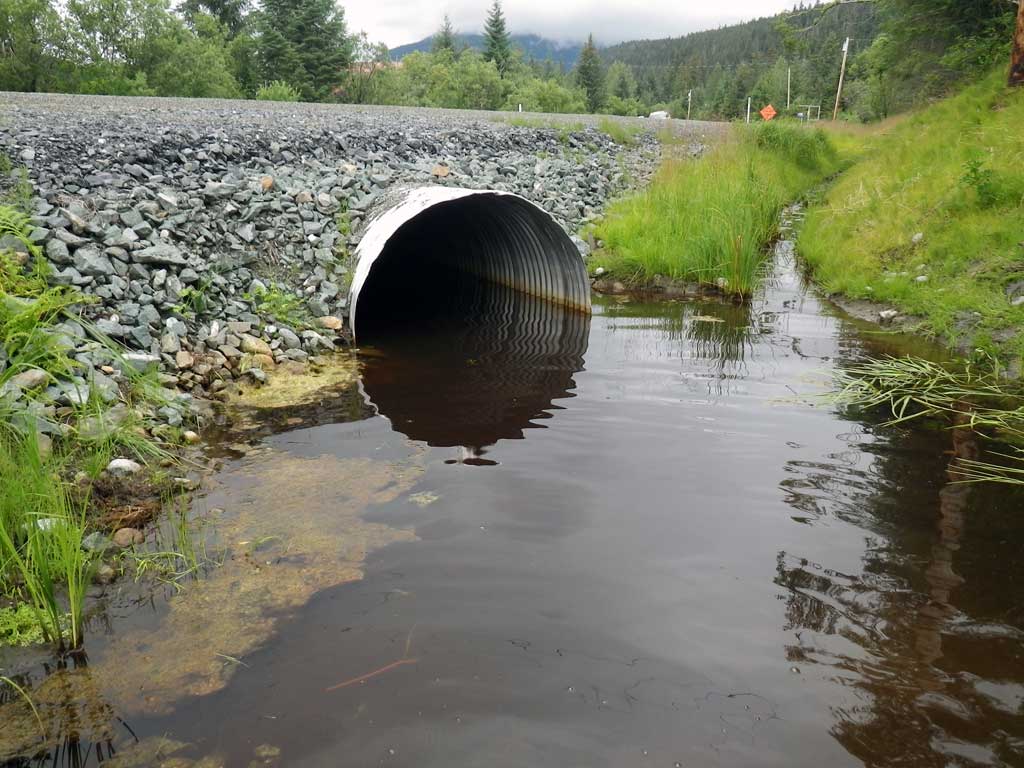
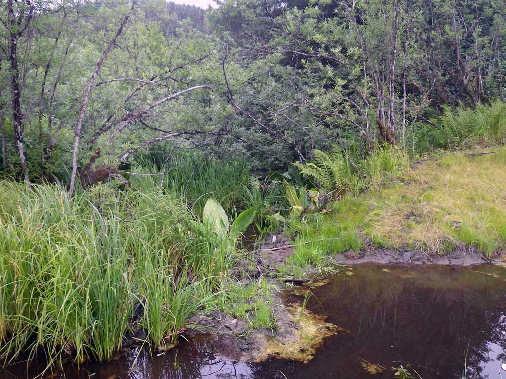
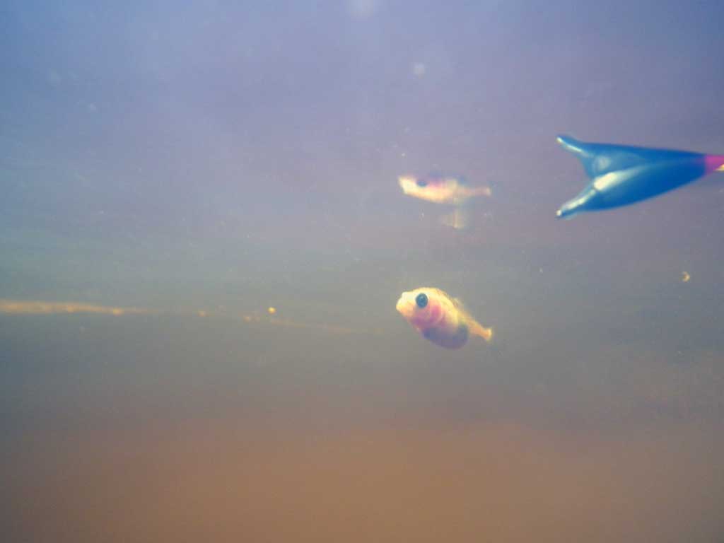
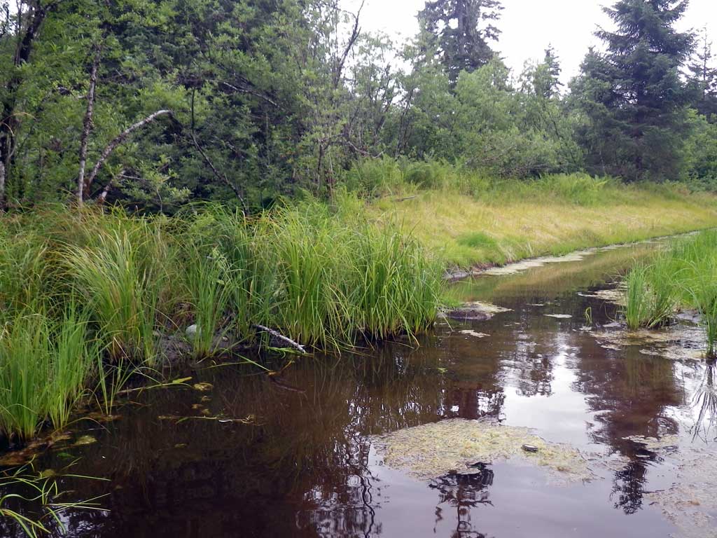
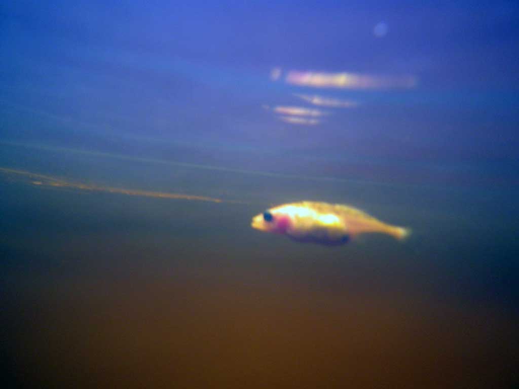
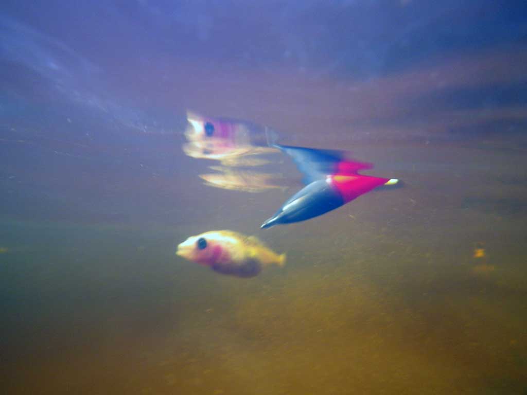
Comments: Ponded upstream, Ditch drain downstream. Pond too deep to walk. Sticklebacks observed: Took picture of strangely colored stickleback.
Culvert Measurements
| ID: 1 | Structure Type: Circular pipe (Corrugated aluminum) | Fish Passage Rating: | |||||||||||||||||||||||||||||||||||||||||
|
|
|
|||||||||||||||||||||||||||||||||||||||||
Comments: Ponded upstream, Ditch drain downstream. Pond too deep to walk. |
|||||||||||||||||||||||||||||||||||||||||||
Culvert Observations:
|
|||||||||||||||||||||||||||||||||||||||||||
Stream Measurements
|
|
No stream width data available.
Elevations
| Locator ID | Culvert Number |
River Distance (ft)1 |
Distance From Crossing (ft)2 |
Relative Elevation (ft) |
|---|---|---|---|---|
| Road Elev | 100.75 | |||
| D/S Thalweg (No discernable grade points, survey point on substrate) | 0.00 | 92.46 | ||
| D/S Water Surface Elev | 0.00 | 96.65 | ||
| D/S Water Surface Elev | 1.00 | 96.65 | ||
| Outlet Culvert Top | 1.00 | 96.99 | ||
| Outlet Invert | 1.00 | 92.49 | ||
| Inlet Culvert Invert | 82.50 | 94.81 | ||
| Inlet Culvert Top | 82.50 | 99.29 | ||
| U/S Headwater (1st resting) | 82.50 | 96.66 | ||
| U/S Water Surface Elev | 83.00 | 96.65 | ||
| Misc. (survey point on substrate) | 83.00 | 94.89 |
Notes:
- River distance is measured continuously throughout the survey reach along the thalweg of the stream.
- Measured from each end of the crossing along the thalweg of the stream.
Fish Sampling Efforts
| Gear Type: Visual Observation, Ground (A) | Trap Duration(h): 30.0 | |
| Channel Type: Main Channel (>50% of water flow) | ||
| Comments: Obsevered sticklebacks at inlet. | ||
| Gear Type: (B) | ||
Fish Observations
No fish observations occurred during this survey.
Photos

Questions or comments about this report can be directed to dfg.dsf.webmaster@alaska.gov