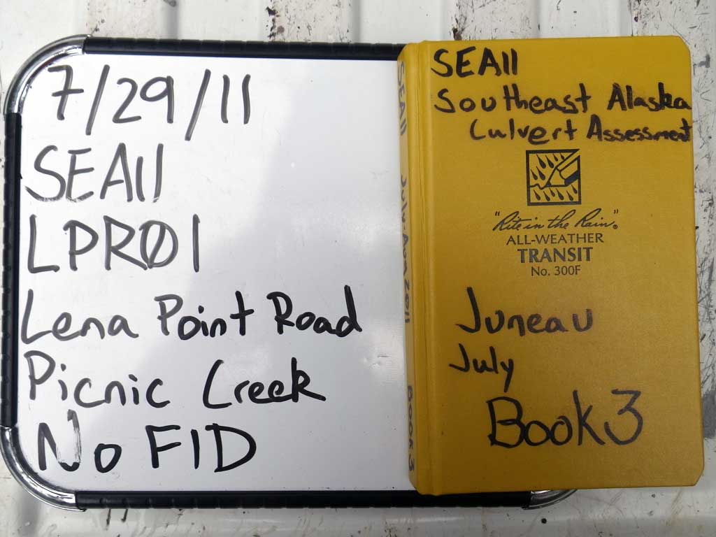
Fish Passage Site 10302216
Coordinates (dec. deg.): 58.39219°, -134.74974°
Legal Description: C040S065E19
Region: Southeast
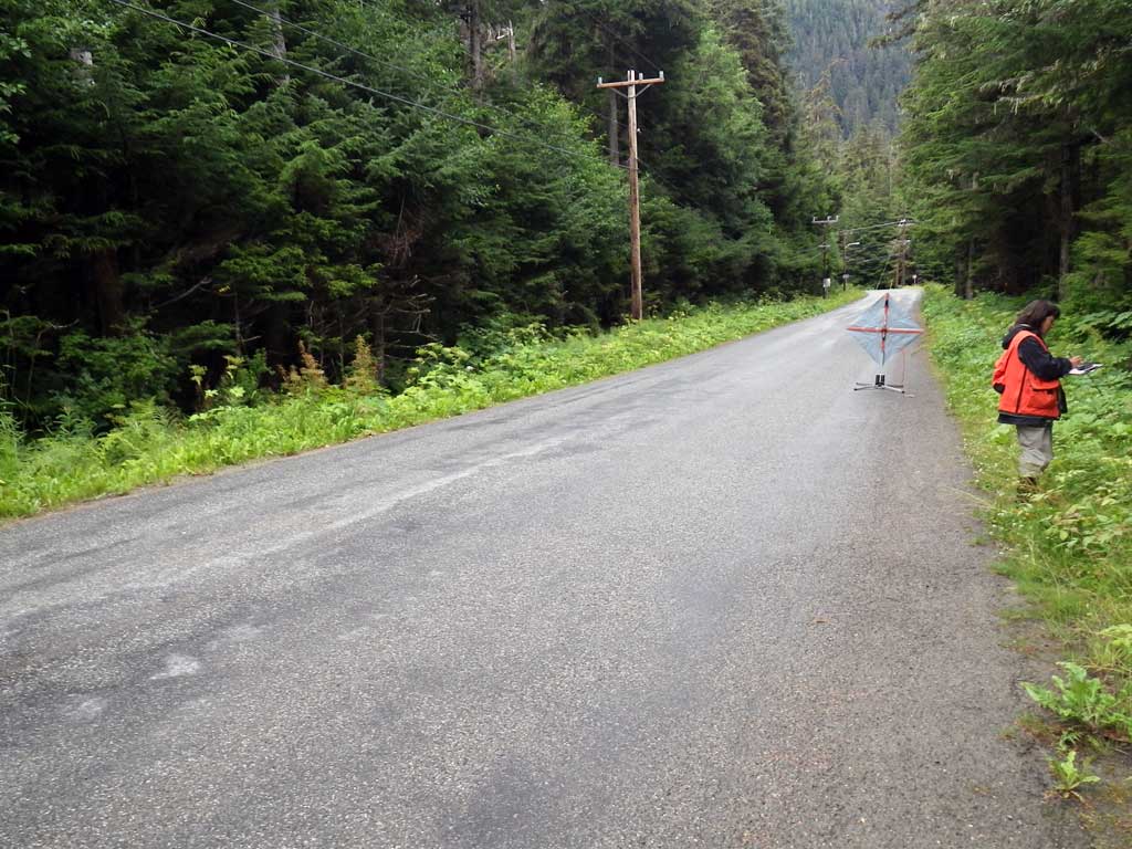
Road Name: Lena Point Road
Datum: NAD83
Quad Name / ITM: Juneau B-3
AWC Stream #: 111-50-10310
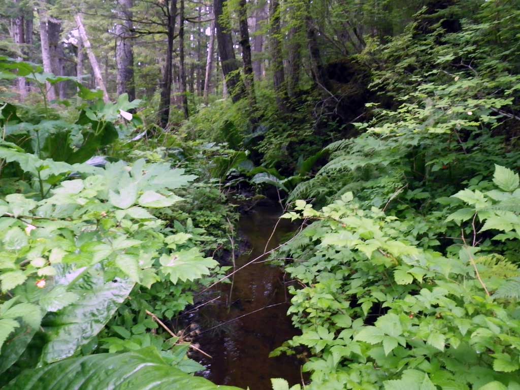
Stream Name: Picnic Creek
Elevation:
Site Comments: Aprox. 200 feet upstream of 10302217
arrow to the right of the survey date below to choose a different report for this site.
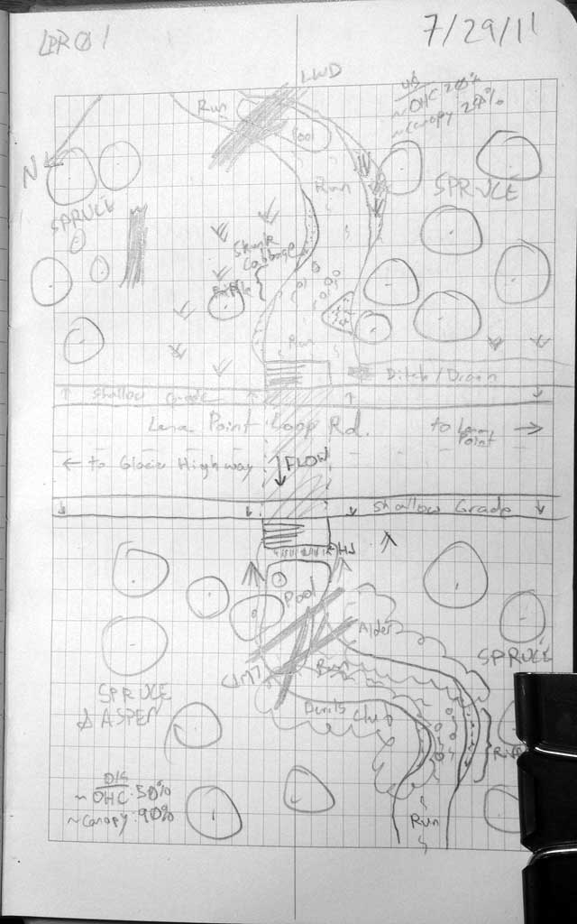
Survey SEA11-LPR01
Project Supervisor: Gillian O'Doherty, Alaska Department of Fish and Game
— Anchorage, AK
Observers: Jason Olds, Charmagne Gutierrez
Overall Fish Passage Rating:
Tidal: No
Backwatered: No
Step Pools: No
Construction Year:
Site Observations:
- Constriction ratio gray
Comments: None
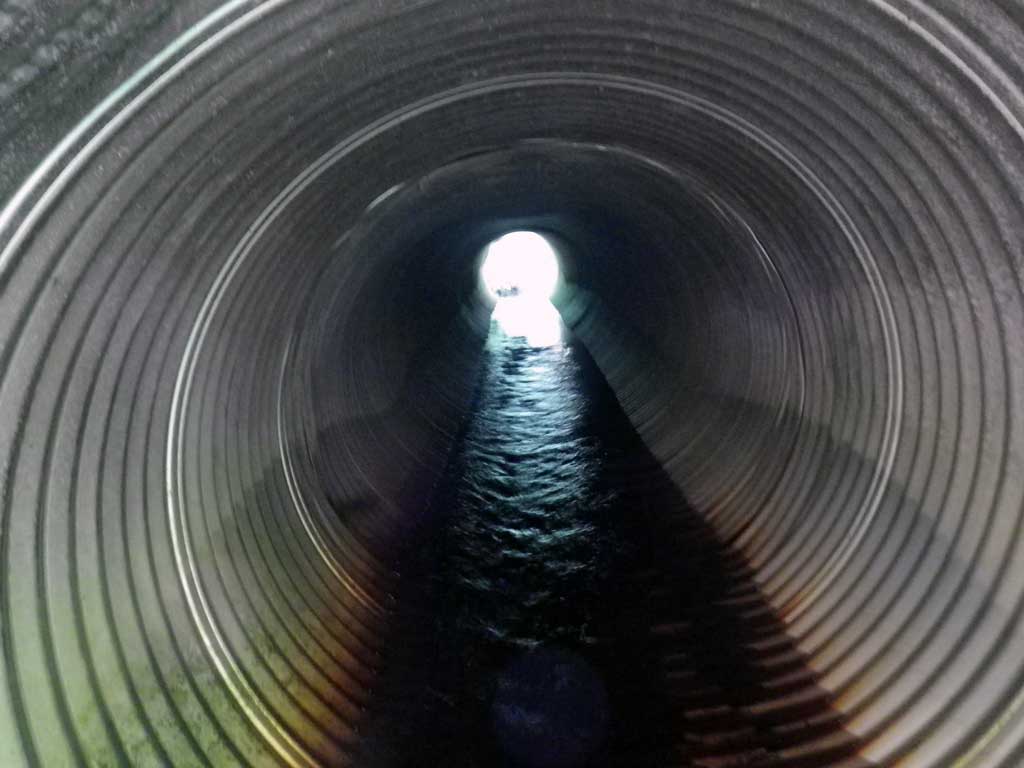
Culvert Measurements
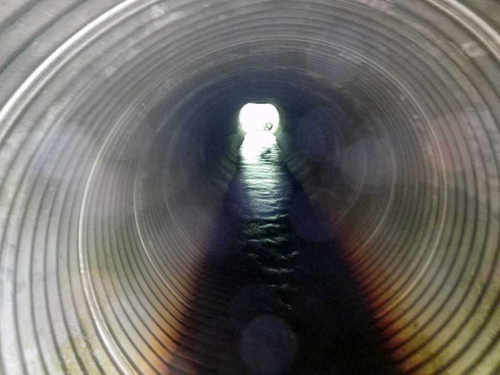
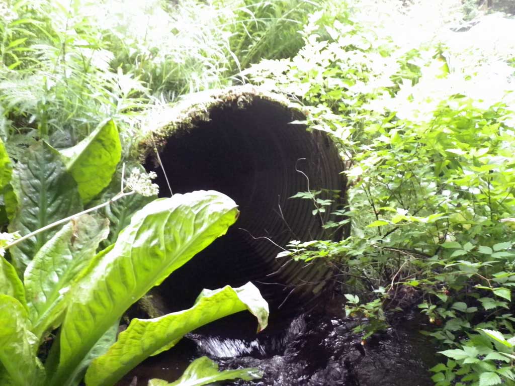
| ID: 1 | Structure Type: Circular pipe (Corrugated aluminum) | Fish Passage Rating: | |||||||||||||||||||||||||||||||||||||||||
|
|
|
|||||||||||||||||||||||||||||||||||||||||
Culvert Observations:
|
|||||||||||||||||||||||||||||||||||||||||||
Stream Measurements
|
|
| Stream Width Type | Distance From Crossing (ft) |
Stream Width (ft) |
|---|---|---|
| Upstream ordinary high water | 35.0 | 8.60 |
| Upstream ordinary high water | 69.0 | 4.50 |
| Upstream ordinary high water | 95.0 | 6.10 |
Elevations
| Locator ID | Culvert Number |
River Distance (ft)1 |
Distance From Crossing (ft)2 |
Relative Elevation (ft) |
|---|---|---|---|---|
| Road Elev | 100.38 | |||
| D/S Grade Ctrl (Thalweg) | 0.00 | 92.55 | ||
| D/S Water Surface Elev | 0.00 | 92.97 | ||
| D/S Tailcrest or 1st Thalweg | 21.00 | 93.00 | ||
| D/S Water Surface Elev | 21.00 | 93.20 | ||
| Max Pool Depth | 23.00 | 92.31 | ||
| Outlet Pool Water Elev | 23.00 | 93.14 | ||
| Outlet Culvert Top | 25.00 | 97.09 | ||
| D/S Water Surface Elev | 25.00 | 93.30 | ||
| Outlet Invert | 25.00 | 93.02 | ||
| U/S Headwater | 71.80 | 93.68 | ||
| Inlet Culvert Top | 71.80 | 97.36 | ||
| Inlet Culvert Invert | 71.80 | 93.14 | ||
| U/S Water Surface Elev | 102.00 | 93.76 | ||
| U/S Water Surface Elev | 230.00 | 95.27 |
Notes:
- River distance is measured continuously throughout the survey reach along the thalweg of the stream.
- Measured from each end of the crossing along the thalweg of the stream.
Fish Sampling Efforts
| Gear Type: None (A) | ||
| Comments: No traps set no fish observed. | ||
Fish Observations
No fish observations occurred during this survey.
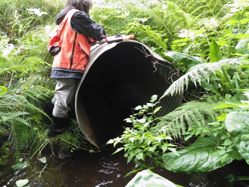
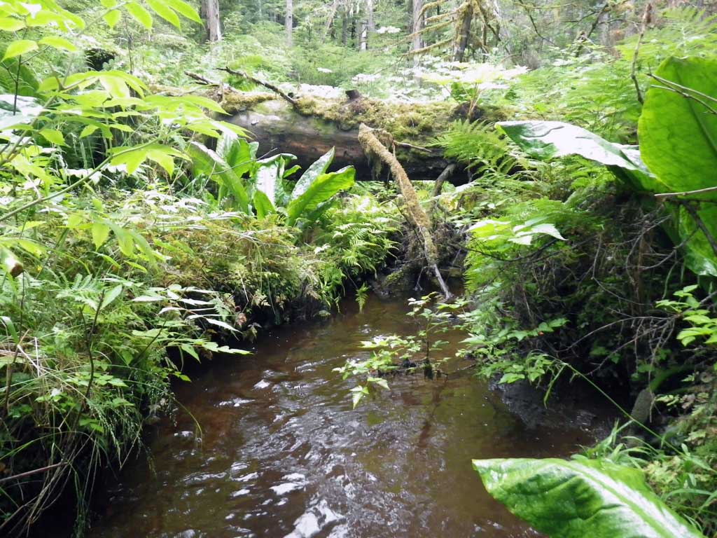
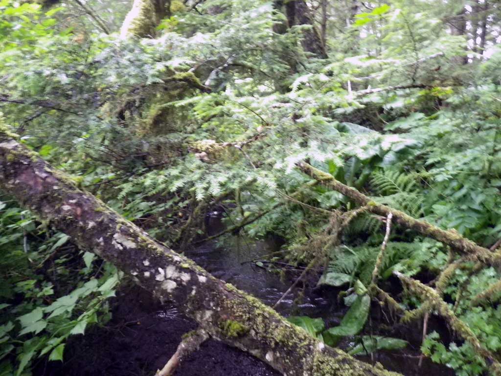
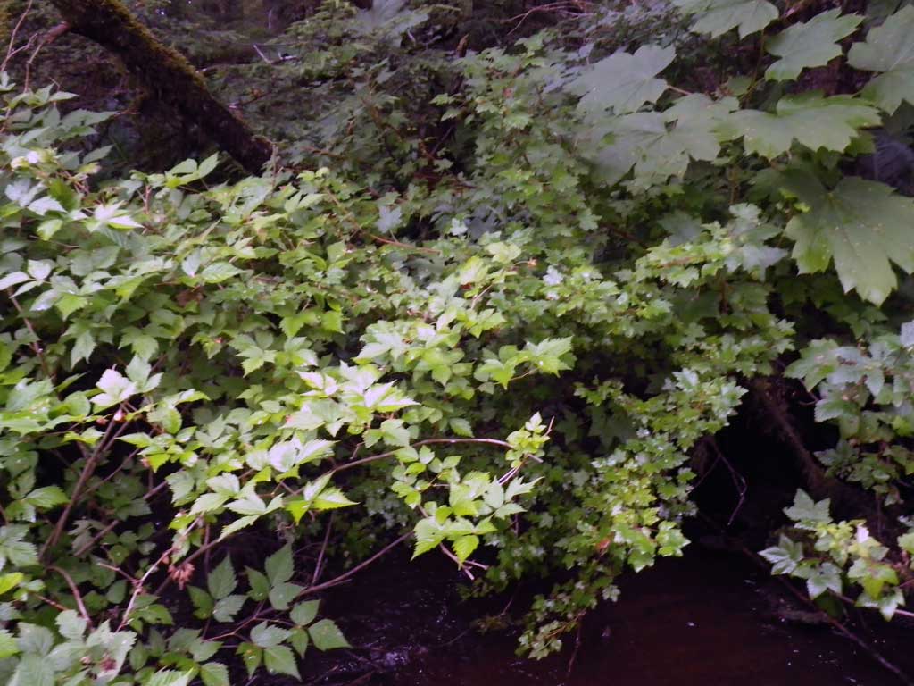
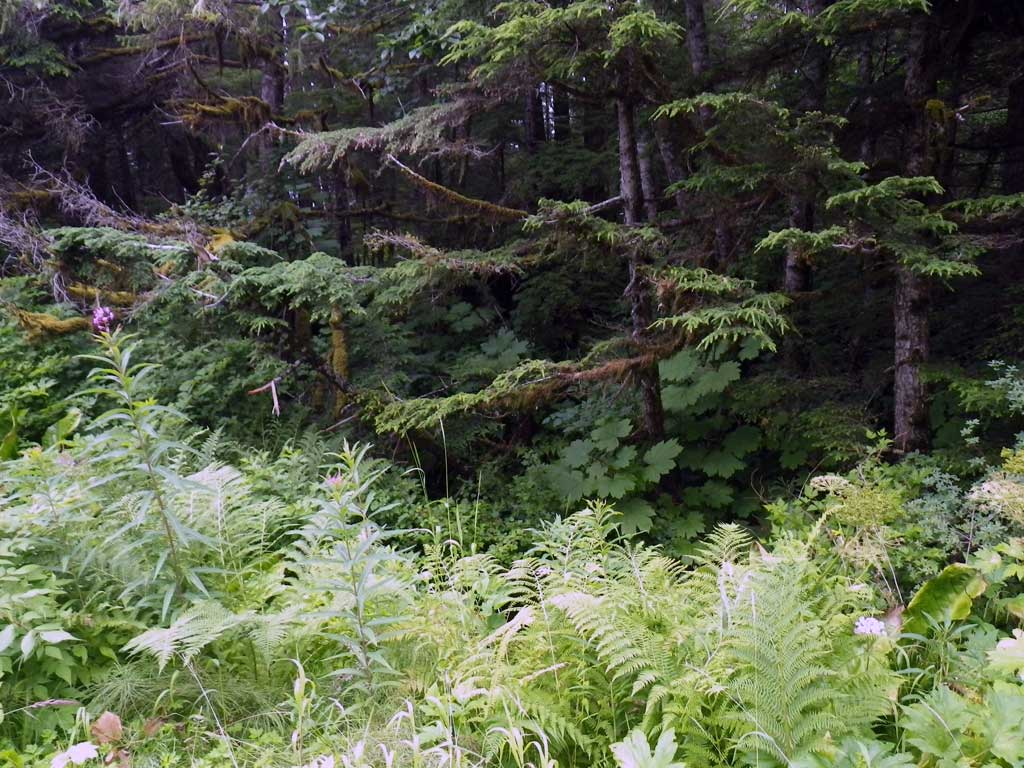
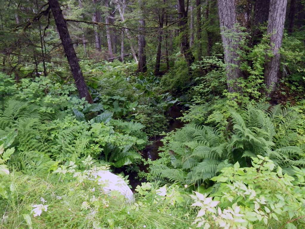
Photos
Questions or comments about this report can be directed to dfg.dsf.webmaster@alaska.gov